The route
Fourteen legs, exploring the highlights of the North Pennines National Landscape and UNESCO Global Geopark. Walk in one challenging trip or take each leg as a separate journey.
The route is divided into 14 legs. This section provides detailed information about each of the suggested legs: length; route profiles; what the terrain is like; directions and maps; gpx file downloads; and what there is to see and discover.
-
1 Appleby-in-Westmorland to Dufton 19.2km
-
2 Dufton to Alston 31km
-
3 Alston to Haltwhistle 23.8km
-
4 Haltwhistle to Allendale 22.8km
-
5 Allendale to Blanchland 23.8km
-
6 Blanchland to Edmundbyers 8.4km
-
7 Edmundbyers to Wolsingham 23.5km
-
8 Wolsingham to Stanhope 17km
-
9 Stanhope to St. John’s Chapel 18.4km
-
10 St. John’s Chapel to Saur Hill Bridge 22.8km
-
11 Saur Hill Bridge to Middleton-in-Teesdale 12.5km
-
12 Middleton-in-Teesdale to Tan Hill Inn 26.4km
-
13 Tan Hill Inn to Kirkby Stephen 24.7km
-
14 Kirkby Stephen to Appleby-in-Westmorland 25.6km
Featured points of interest
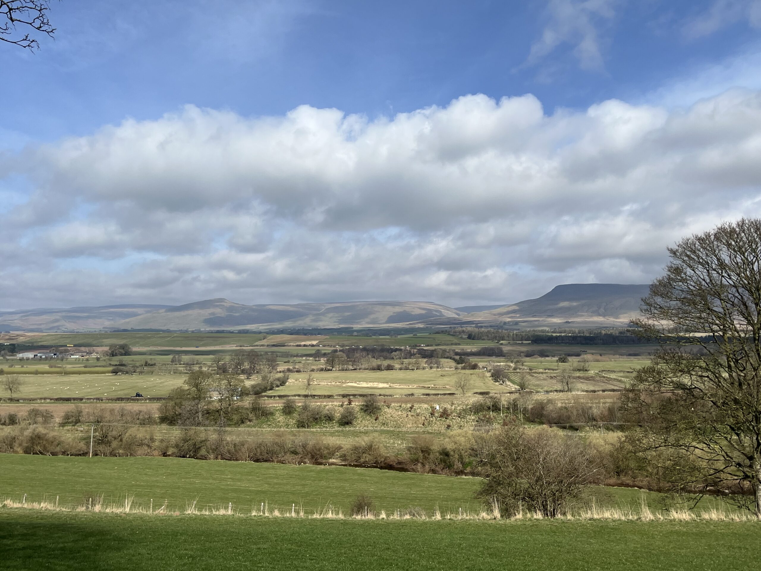
North Pennines escarpment
Kirkby Stephen to Appleby-in-Westmorland
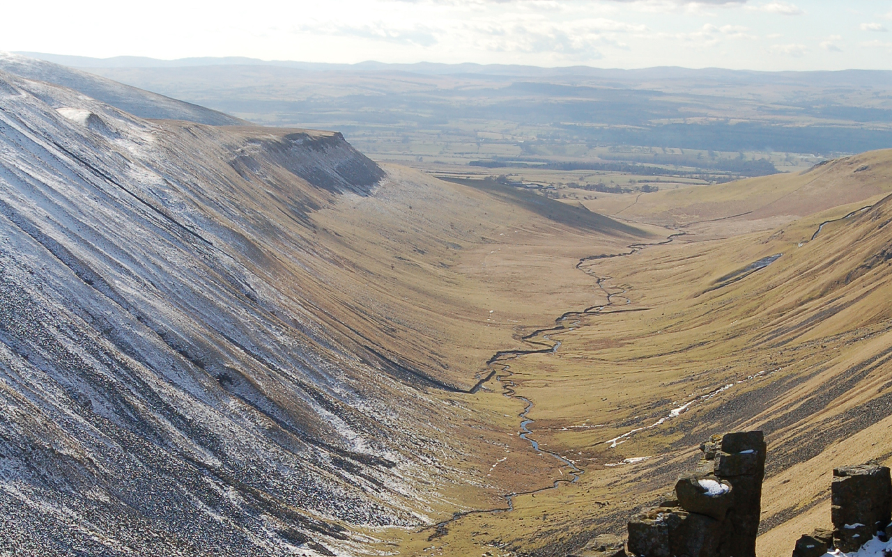
Pause here and view the North Pennine escarpment, one of the most prominent landscape features in northern England. It formed due to faulting and uplift followed by millions of years of erosion, exposing the older Carboniferous rocks of the North Pennines to the east next to the younger Permo-Triassic rocks in the Vale of Eden. You can spot the conical Murton Pike you passed on day 1.
Nine Standards
Tan Hill Inn to Kirkby Stephen
The Nine Standards have stood here, on the historic boundary between Westmorland and the North Riding of Yorkshire, for more than 500 years. It’s quite a spot – with far-reaching views north to Cross Fell, Great and Little Dun Fell and across the Eden Valley to the flat-topped Wild Boar Fell. On a clear day it is a place to pause and consider how far you’ve come on the Roof of England Walk.
Low Birk Hatt
Middleton-in-Teesdale to Tan Hill Inn
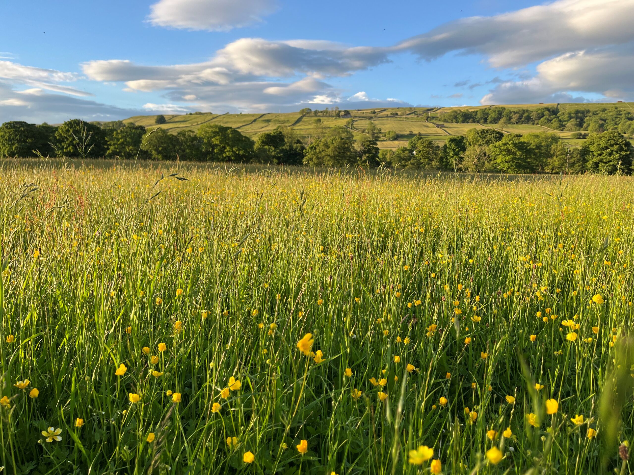
The original owner of the hay meadow you’ve just walked through, Hannah Hauxwell, lived alone at this farmhouse without the luxury of electricity and running water. She found fame in a 1973 ITV documentary ‘Too Long A Winter’. When she retired in 1988, her smallholding became a nature reserve. The house is private, please don’t try and visit.
Goldsborough
Middleton-in-Teesdale to Tan Hill Inn
If you glance to your left (northeast) you will spot the prominent crags of Goldsborough, about a mile away. This flat-topped hill is made up of gritty sandstones. These hard rocks formed in vast, ancient deltas some 300 million years ago. To you right is its ‘sister’ Shacklesborough – but this hill is 3km distant so harder to spot.
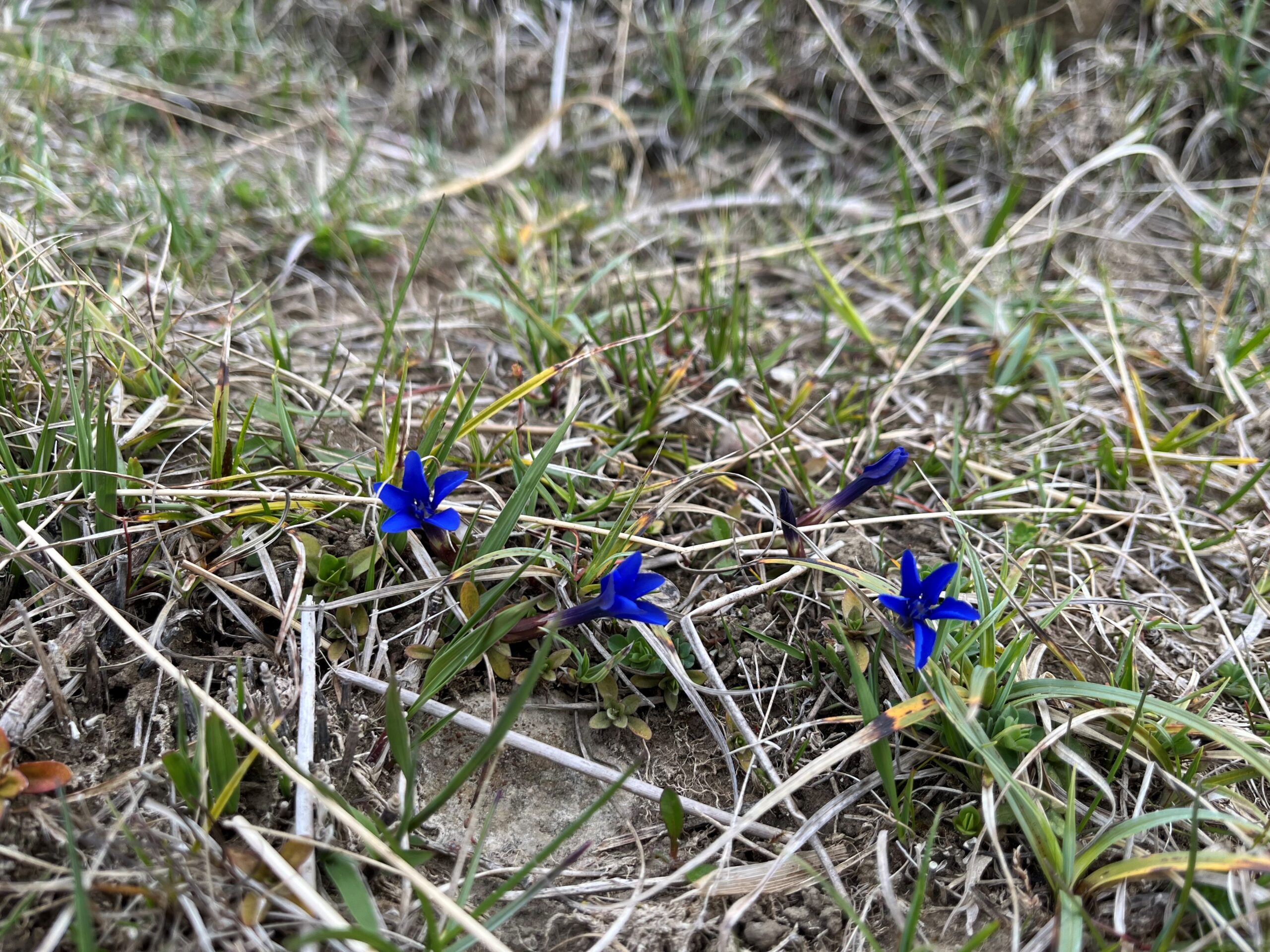
Spring gentians
Saur Hill Bridge to Middleton-in-Teesdale
Between April and early June you might see these small (15-30mm across), deep-blue flowers on this bank beside the Harwood Beck. Best seen on warm, bright days, look out for a delicate plant with a solitary, intense-blue flower, like a tiny, five-pointed star. It is a striking symbol of Teesdale and is rare in the British Isles, found only in western Ireland and in Upper Teesdale.
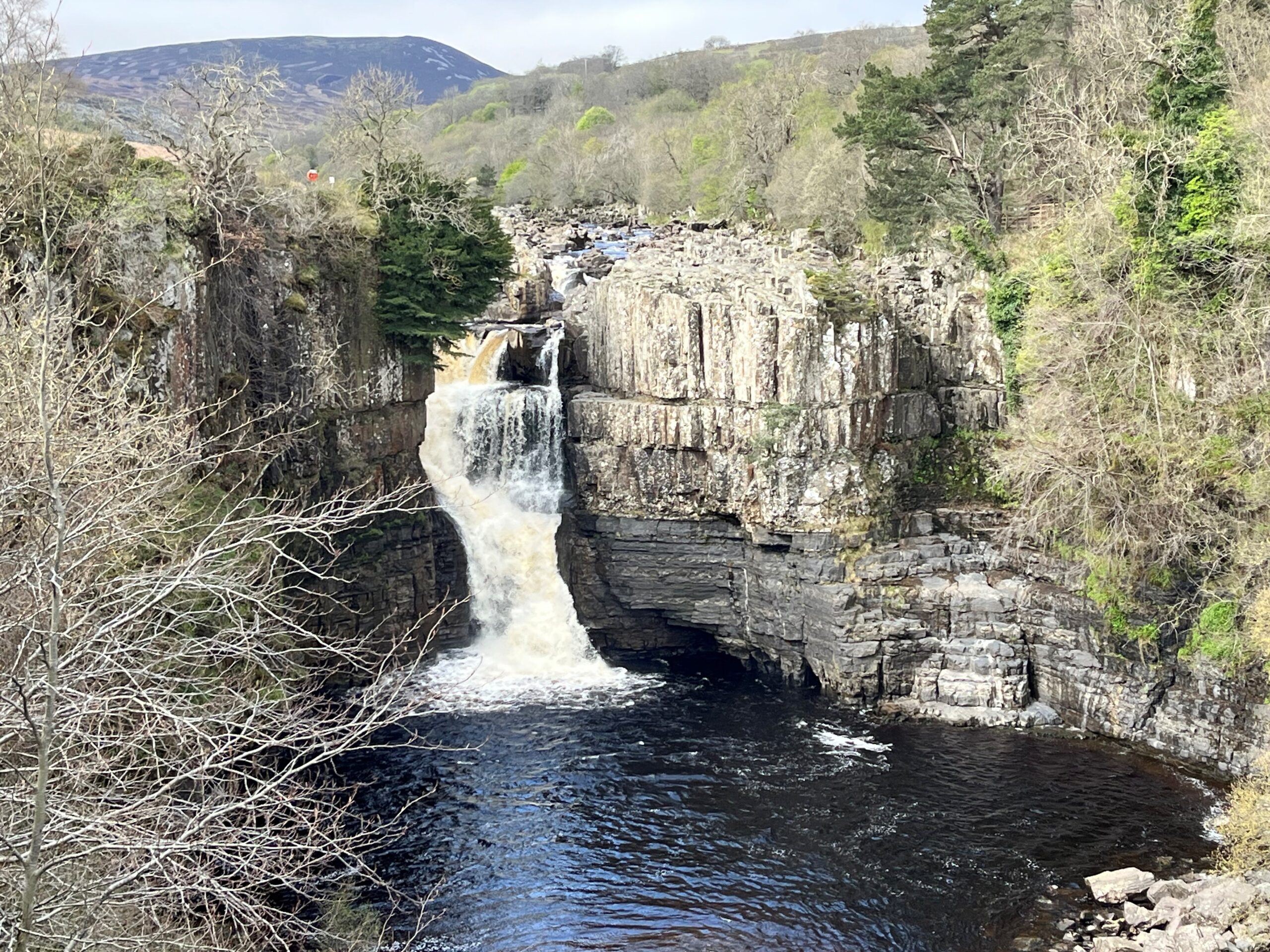
High Force viewpoint
Saur Hill Bridge to Middleton-in-Teesdale
High Force plunges over the Whin Sill – a hard dolerite rock. Below the Whin Sill you can see layers of sandstone and limestone, part of the sequence of rocks that make up most of the North Pennine landscape. ‘Force’ comes from ‘foss’, the Old Norse word for waterfall.
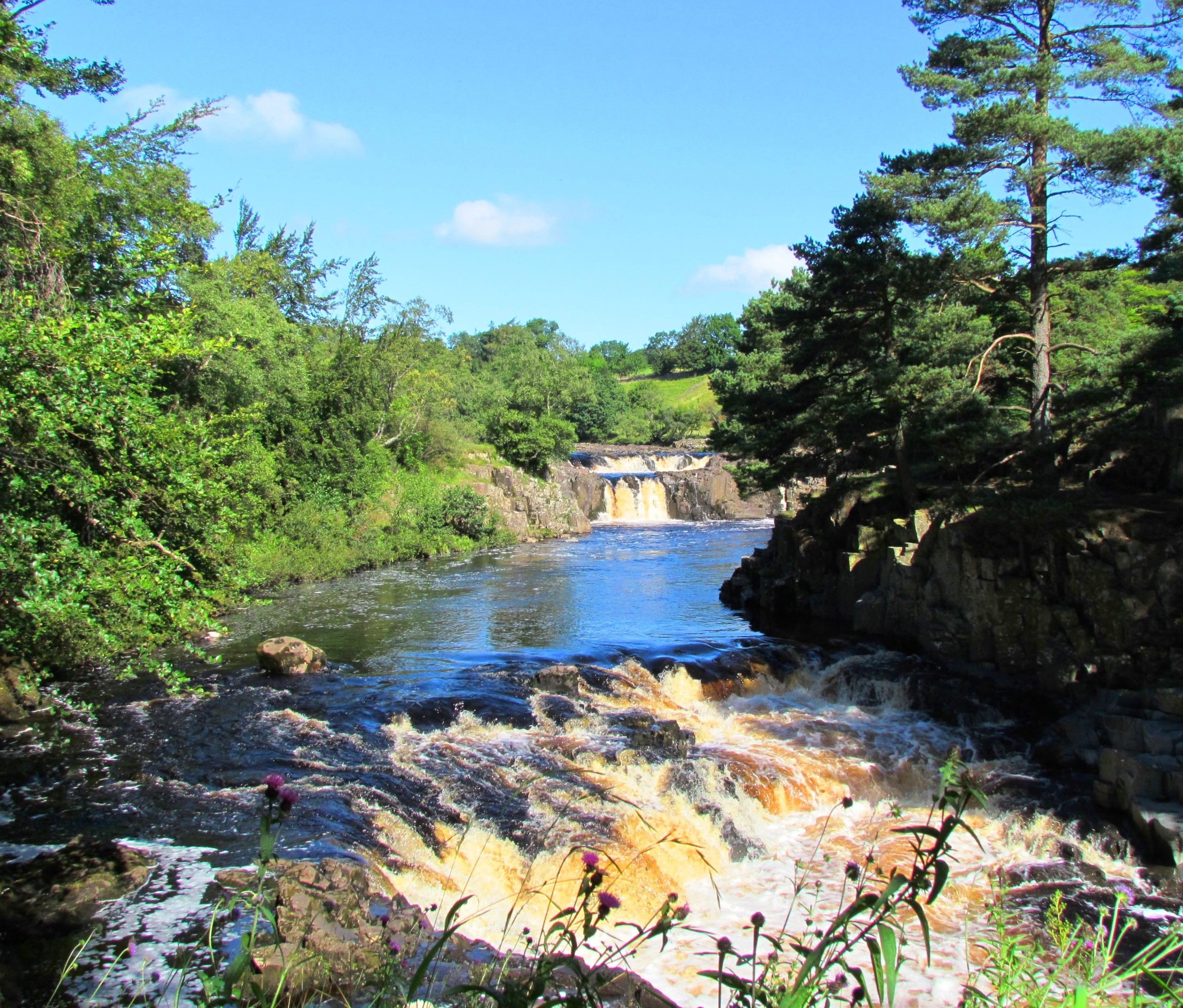
Low Force
Saur Hill Bridge to Middleton-in-Teesdale
Low Force tumbles over the Whin Sill, a layer of hard rock called dolerite, known locally as whinstone. The Whin Sill formed 295 million years ago, when molten rock rose up from within the Earth and spread out between layers of limestone, sandstone and shale. The molten rock cooled and hardened underground. Millions of years of erosion have exposed the Whin Sill at the surface here at Low Force.
Top of Cauldron Snout
St. John’s Chapel to Saur Hill Bridge
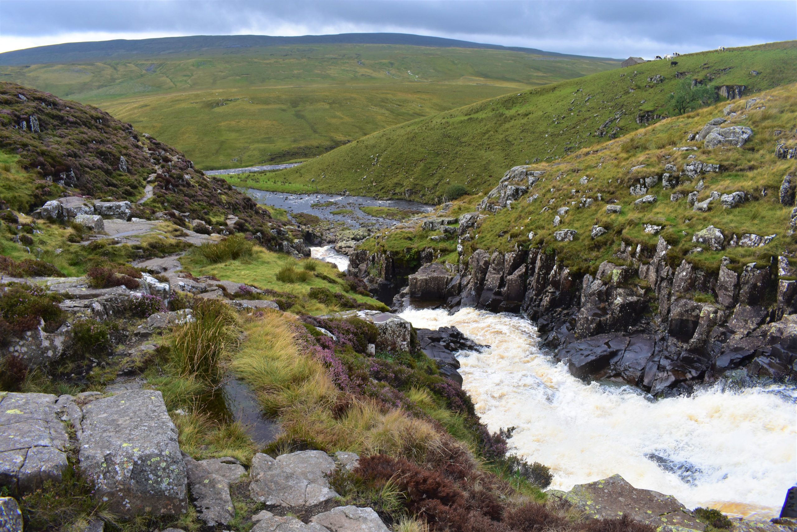
The waterfall at Cauldron Snout is formed as the River Tees flows across a very hard outcrop of the Whin Sill dolerite. Notice the vertical cracks in the rock which are known as columnar joints. They formed as the magma contracted during the final stages of cooling. This is similar to the formation of the famous columns at the Giant’s Causeway in Northern Ireland and Fingal’s Cave in Scotland.
The Middlehope Valley
The Middlehope Valley and Slitt Wood are protected as a Site of Special Scientific Interest (SSSI). The area is designated for its variety of habitats including woodland, lime-rich grassland, fen, open water and the revegetated workings of Slitt and Middlehope Mine. Many of the industrial remains are also legally protected as Scheduled Ancient Monuments.
The Elephant Trees
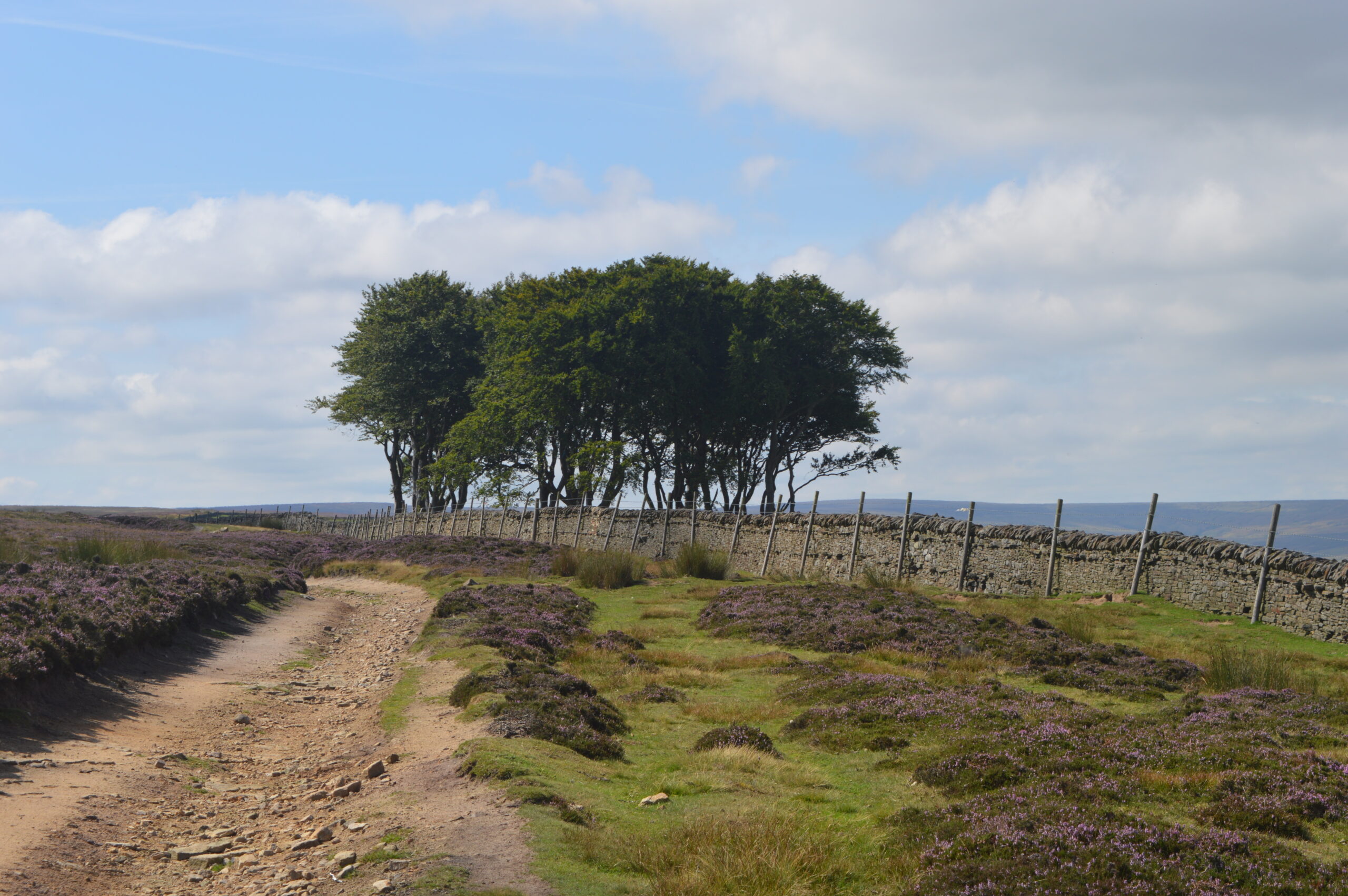
The route turns right downhill just before you reach the small clump of trees, known locally as the Elephant Trees. You will have seen this prominent feature on the skyline yesterday on leg 7 as you approached Baal Hill House in the Tunstall Valley.
Stanhope
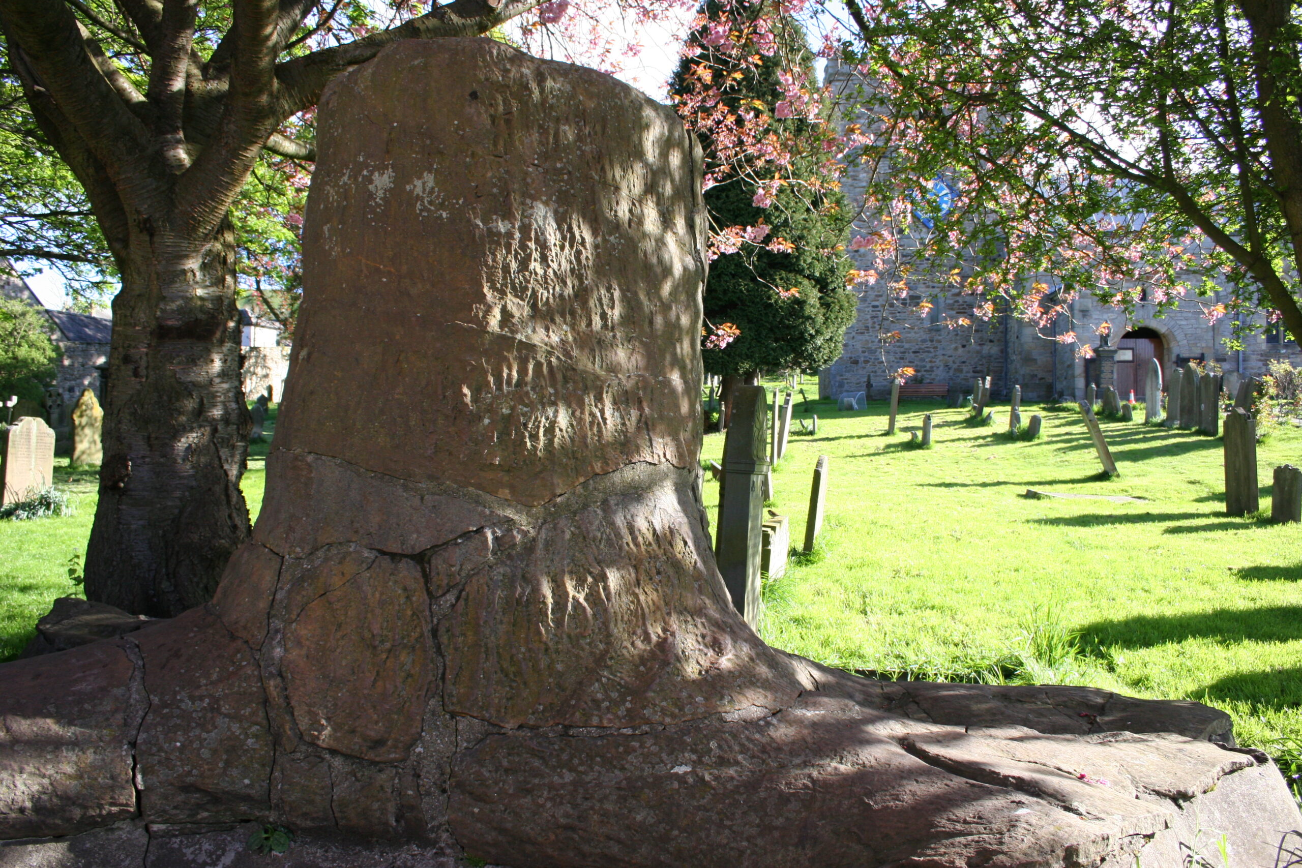
As you approach the end of leg 8, the settlement on the other side of the River Wear is Stanhope, the capital of the upper dale. St. Thomas’ Church dates to the 13th century. The fossil tree in the church yard is worth seeing. Stanhope Old Hall was founded in the 13th century and was one of the largest fortified houses in Weardale. Stanhope Castle in the market place was built in 1798.
FAQs
You can encounter midges in the North Pennines between May and September, and they are at their height between June and August. Midges can be a nuisance, particularly at dusk and dawn, on boggy ground, and on still days. Tips to minimise their impact, include:
- Wear a midge net and cover up, light clothing is best. Make sure that your net has a very small mesh, mosquito nets will not be effective as the mesh will be large enough to let them through.
- Try a midge repellent – Smidge or similar.
- They do not fly when there is a breeze, so embrace the windy days.
There is no reason why you should not complete the Roof of England Walk on your own. Be aware that there may be sections of the trail where mobile phone coverage is patchy or non-existent. Make sure you are a confident navigator and remember it is good practice to let someone know your route and expected time of arrival at your intended destination.
There are three points on the route with easy access from train stations: Appleby-in-Westmorland; Haltwhistle; and Kirkby Stephen. You could also get a train to Hexham and join the walk part way through Leg 5. It is possible to use the heritage Weardale Railway to Wolsingham and Stanhope. Parts of the route are accessible by bus services: Middleton-in-Teesdale; Wolsingham; Stanhope; St. John’s Chapel; Blanchland; Edmundbyers; and Alston. Some services only run on certain days and may also be seasonal. Check the following websites for up to date details and travel advice: • Traveline • Durham County Council • Northumberland County Council • Westmorland & Furness Council
Whilst there will be sections of the route where you are legally able to ride a horse or pedal cycle, the Roof of England route has been developed as a walking trail. The Roof of England Walk is almost entirely on legally designated Public Rights of Way – the exception is two short sections of permissive paths. In England, public rights of way are divided into a number of different types: • Footpaths (shown by a yellow arrow) – for walkers and mobility aid users • Bridleways (blue arrow) – for walkers, mobility aid users, horse-riders and cyclists • Restricted byway (purple arrow) – for walkers, mobility aid users, cyclists, horse-riders and horse-drawn vehicles • Byways open to all traffic – for all types of users, including motorised vehicles The Roof of England Walk follows all of the above types of public rights of way (as well as some sections of public highway) and all users should follow the above rules. See the Countryside Code for more details.
You can take your dog on the Roof of England Walk provided it is kept under effective control and you follow the Countryside Code. Specifically you should keep your dog under effective control to make sure it stays away from wildlife, livestock, horses and other people unless invited. You should:
- always keep your dog on a lead or in sight;
- be confident your dog will return on command; and
- make sure your dog does not stray from the path or area where you have right of access.

