
Plan your trip
Alerts
Animals
You might be lucky and spot an adder whilst following the Roof of England Walk. Find out what to do, particularly if you have a dog.
Notice
The footbridge at White Kirkley in Weardale (grid reference NZ024357) is closed until 11/9/2026 or until completion of essential repair works.
Notice
Cattle and horses may be inquisitive and approach you, especially if you have a dog.
Wildfires
Wildfires are possible this time of year.
FAQs
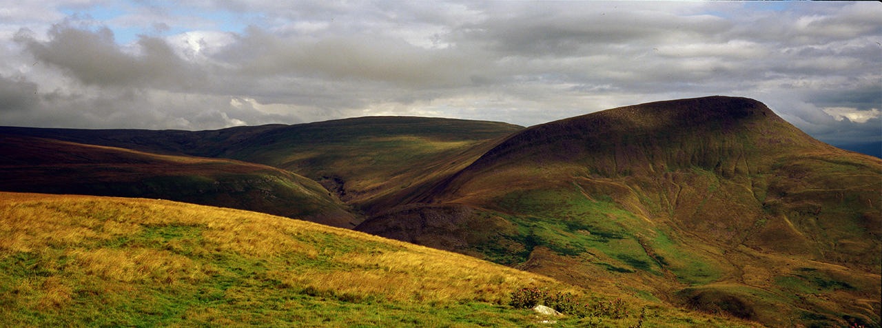
The route is 301km (188 miles) long. Over the whole route there is a total of 6,876m (22,513 feet) of climbing. It is split into 14 legs (or days) of walking. The longest day is 31.1km (19.3 miles) and the shortest is 8.5km (5.3 miles) – an average of 21.5km (13.4 miles) per day. 
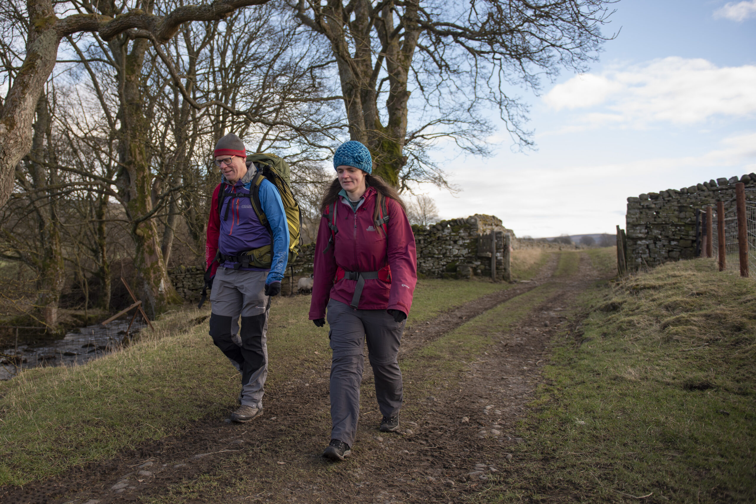
The walk is described as 14 day walks. You could walk the route in two weeks but you can take as long as you want or break the walk into short breaks. For example: Four short breaks of three to four days each: 
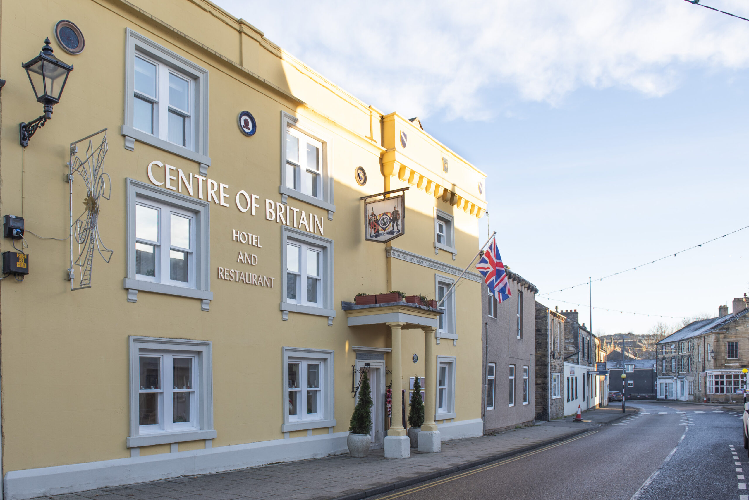
• Middleton-in-Teesdale to Appleby-in-Westmorland – three days (legs 12, 13 and 14) • Appleby to Haltwhistle – three days (legs 1, 2 and 3) 
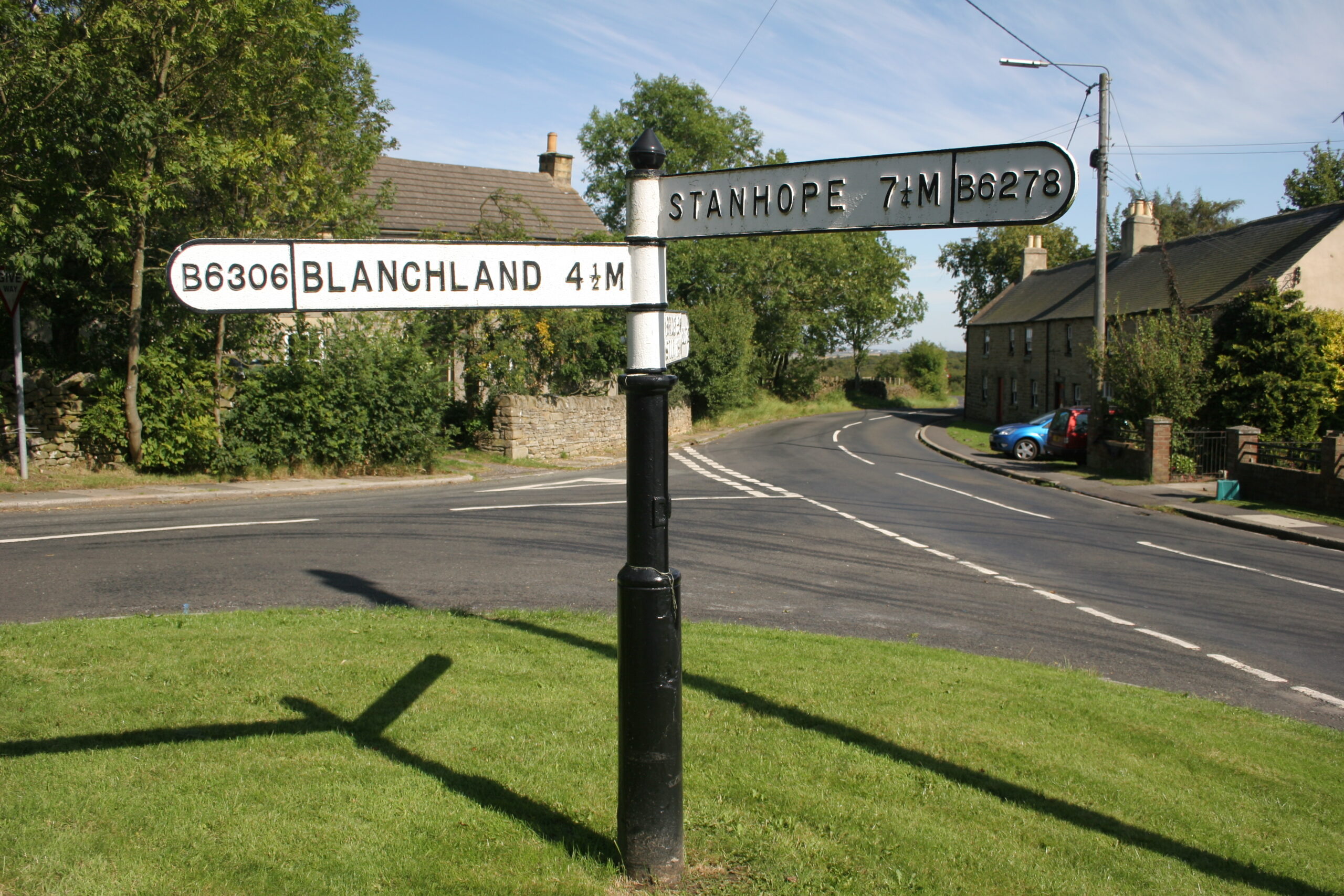
• Haltwhistle to Wolsingham – three or four days (legs 4, 5, 6 and 7. Leg 6 at 8.5km is quite short and could be combined with Leg 7) • Wolsingham to Middleton-in-Teesdale – four days (legs 8, 9, 10 and 11) Or Tackle each leg individually and do the route over whatever period of time you like. Please note, that for most legs you would need picking up by a support car at the end of your day of walking.
The Roof of England Walk is a grand tour of the North Pennines National Landscape and is a hilly walk. It crosses some high ground and is, in places, quite remote from villages and other habitation. The terrain is very varied with sections of the trail including: wet and boggy moorland paths; stony tracks; pathless sections over rough ground; quiet tarmac country lanes; rocky scrambles and boulder-strewn sections; paths across fields with gates and stiles; steep climbs and undulating sections across rough mountainous terrain; and muddy riverside paths. The longest day is Leg 2 – Dufton to Alston – a distance of 31.1km (19.3 miles) with 1,030m (3,333 feet) of ascent. It is a tough day over rough boggy mountain tops and steep climbs. It crosses some high ground which is quite featureless, and quite challenging to navigate across if the mist is down. Not all the days are as difficult as this, but it gives a flavour of the route.
You can take your dog on the Roof of England Walk provided it is kept under effective control and you follow the Countryside Code. Specifically you should keep your dog under effective control to make sure it stays away from wildlife, livestock, horses and other people unless invited. You should:
- always keep your dog on a lead or in sight;
- be confident your dog will return on command; and
- make sure your dog does not stray from the path or area where you have right of access.
-
1 Appleby-in-Westmorland to Dufton 19.2km
-
2 Dufton to Alston 31km
-
3 Alston to Haltwhistle 23.8km
-
4 Haltwhistle to Allendale 22.8km
-
5 Allendale to Blanchland 23.8km
-
6 Blanchland to Edmundbyers 8.4km
-
7 Edmundbyers to Wolsingham 23.5km
-
8 Wolsingham to Stanhope 17km
-
9 Stanhope to St. John’s Chapel 18.4km
-
10 St. John’s Chapel to Saur Hill Bridge 22.8km
-
11 Saur Hill Bridge to Middleton-in-Teesdale 12.5km
-
12 Middleton-in-Teesdale to Tan Hill Inn 26.4km
-
13 Tan Hill Inn to Kirkby Stephen 24.7km
-
14 Kirkby Stephen to Appleby-in-Westmorland 25.6km