Compare route legs
length
elevation
Est. Time
1
Appleby-in-Westmorland to Dufton
Distance
19.2 km / 11.9 mi
Elevation
668.4 m
611 m
Estimated time
6hrs 7m
2
Dufton to Alston
Distance
31 km / 19.3 mi
Elevation
982.5 m
896 m
Estimated time
9hrs 50m
3
Alston to Haltwhistle
Distance
23.8 km / 14.8 mi
Elevation
429.9 m
595.4 m
Estimated time
6hrs 54m
4
Haltwhistle to Allendale
Distance
22.8 km / 14.2 mi
Elevation
468.8 m
339.4 m
Estimated time
6hrs 35m
5
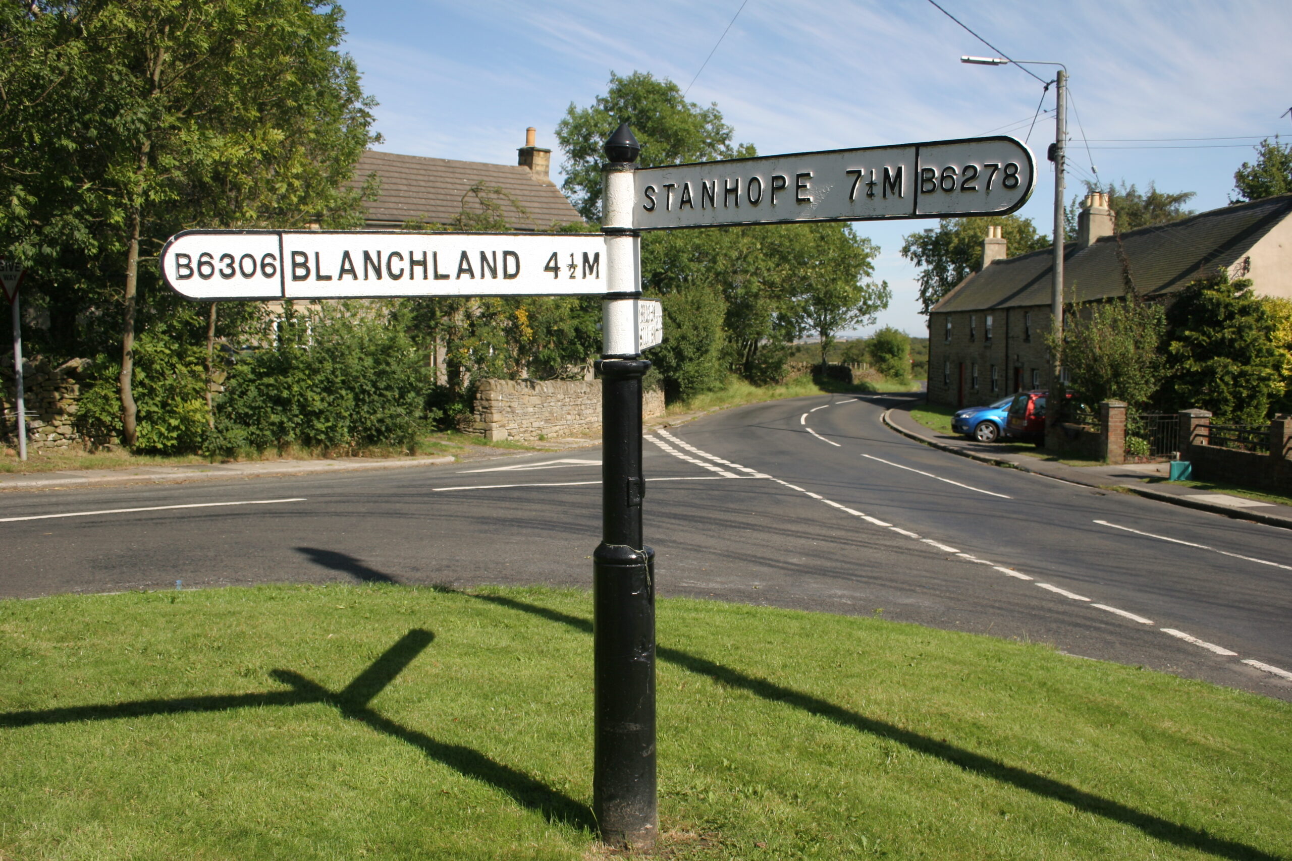
Allendale to Blanchland
Distance
23.8 km / 14.8 mi
Elevation
407.7 m
408 m
Estimated time
6hrs 41m
6
Blanchland to Edmundbyers
Distance
8.4 km / 5.2 mi
Elevation
190.2 m
179.7 m
Estimated time
2hrs 31m
7
Edmundbyers to Wolsingham
Distance
23.5 km / 14.6 mi
Elevation
418 m
531.1 m
Estimated time
6hrs 41m
8
Wolsingham to Stanhope
Distance
17 km / 10.6 mi
Elevation
453.3 m
393.3 m
Estimated time
5hrs 11m
9
Stanhope to St. John’s Chapel
Distance
18.4 km / 11.4 mi
Elevation
336.3 m
244.6 m
Estimated time
5hrs 23m
10
St. John’s Chapel to Saur Hill Bridge
Distance
22.8 km / 14.2 mi
Elevation
543.1 m
470.9 m
Estimated time
6hrs 50m
11
Saur Hill Bridge to Middleton-in-Teesdale
Distance
12.5 km / 7.7 mi
Elevation
92.5 m
237.7 m
Estimated time
3hrs 19m
12
Middleton-in-Teesdale to Tan Hill Inn
Distance
26.4 km / 16.4 mi
Elevation
758.2 m
453 m
Estimated time
8hrs 13m
13
Tan Hill Inn to Kirkby Stephen
Distance
24.7 km / 15.4 mi
Elevation
508 m
865.2 m
Estimated time
7hrs 24m
14
Kirkby Stephen to Appleby-in-Westmorland
Distance
25.6 km / 15.9 mi
Elevation
336.8 m
370.6 m
Estimated time
7hrs 8m