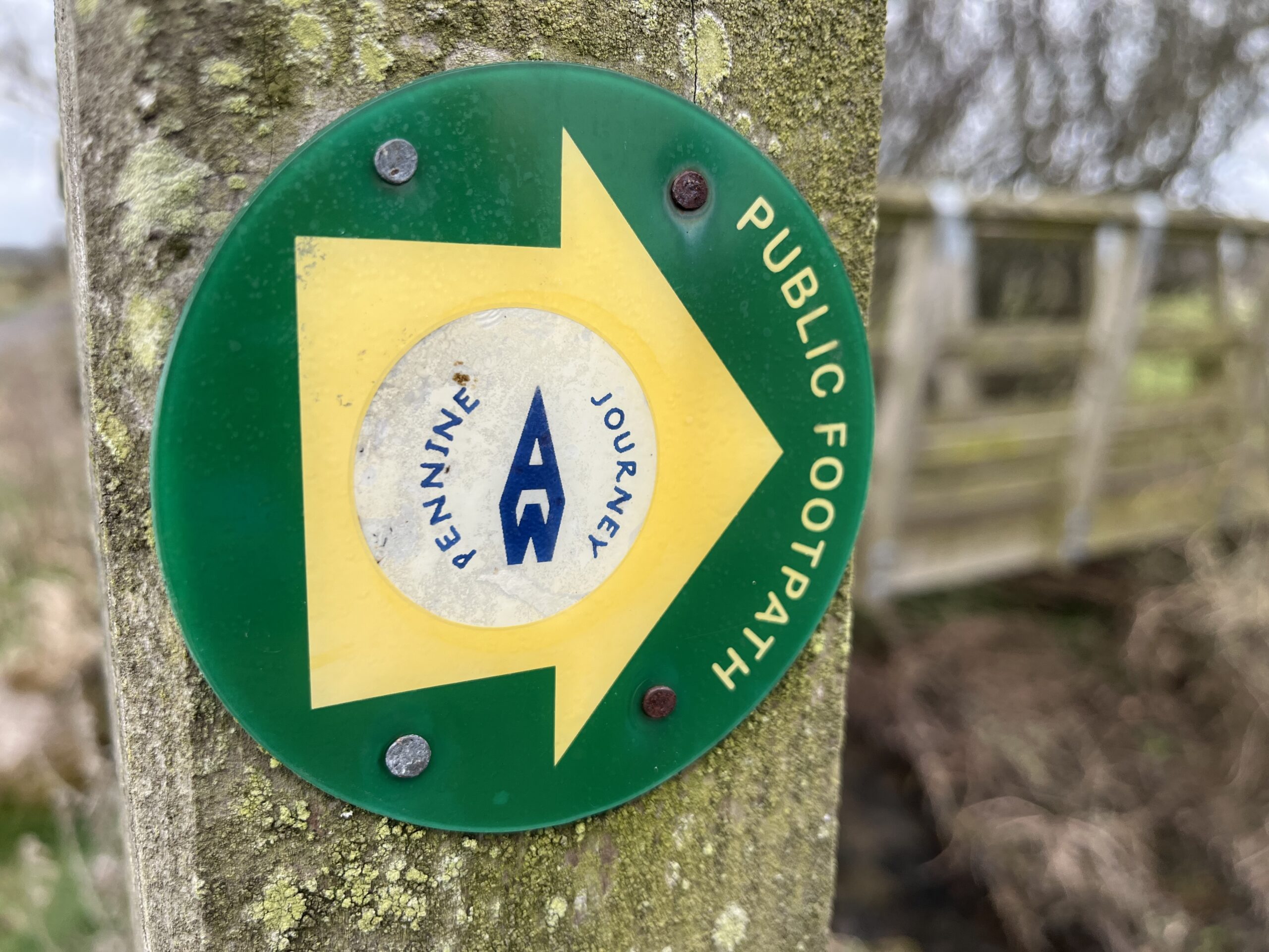
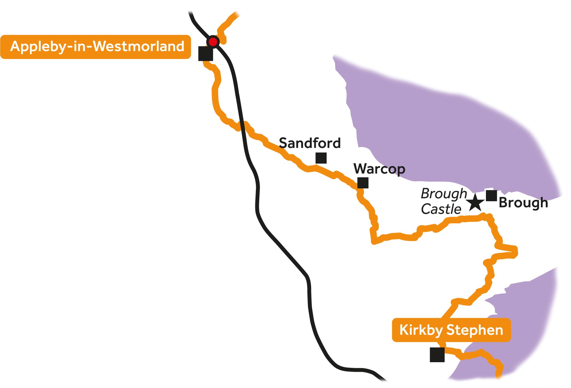
Leg 14Kirkby Stephen to Appleby-in-Westmorland

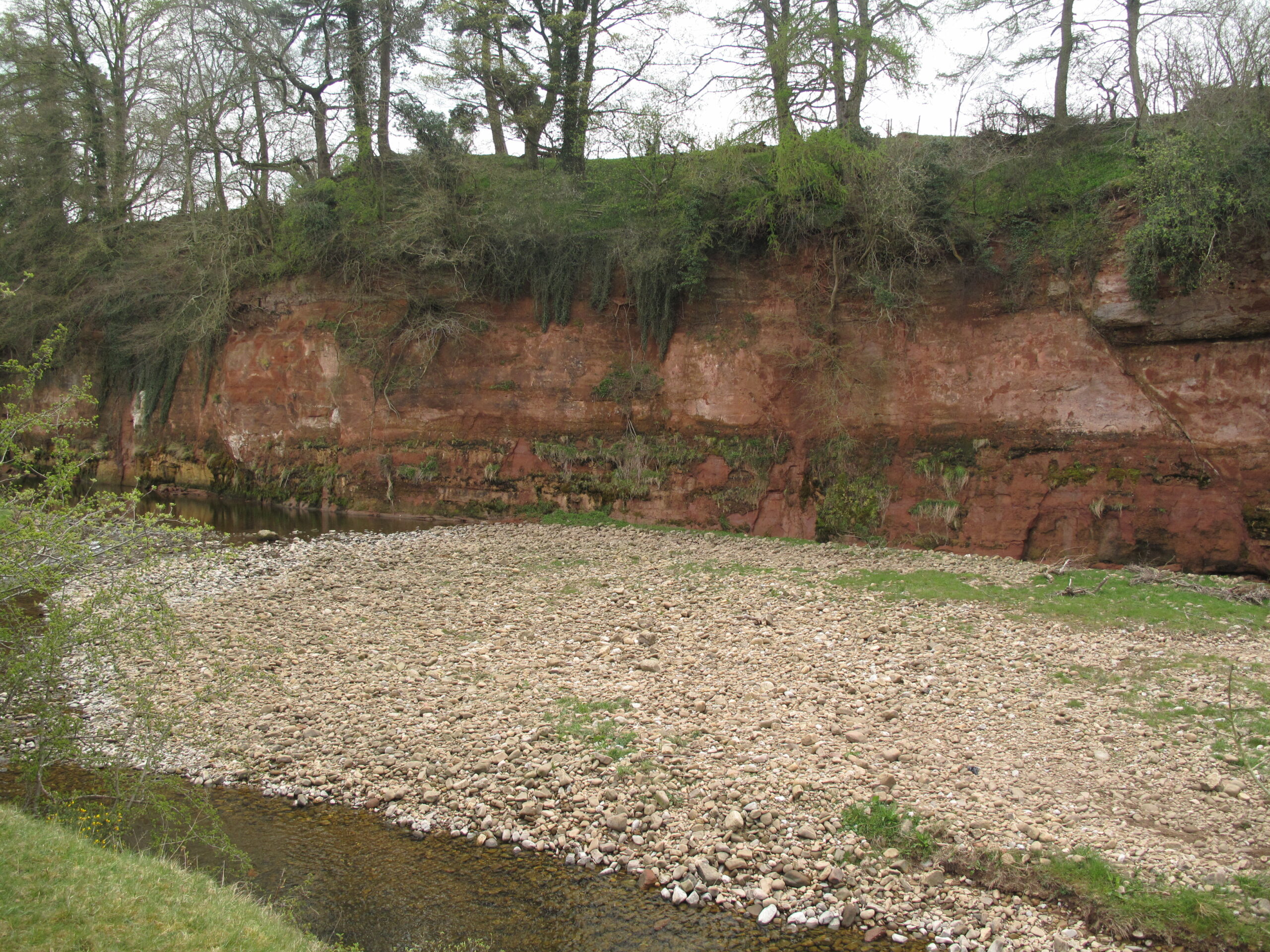
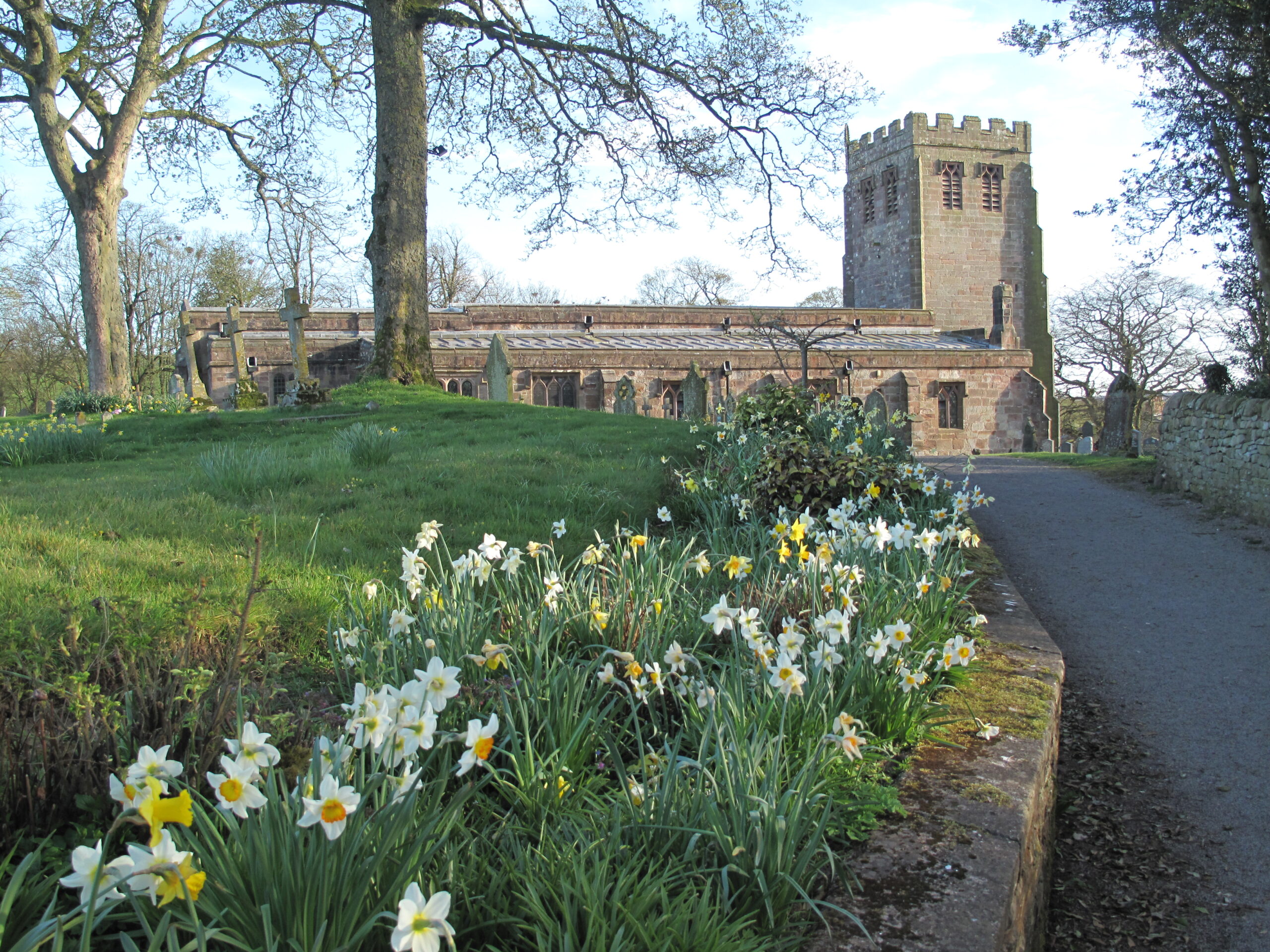
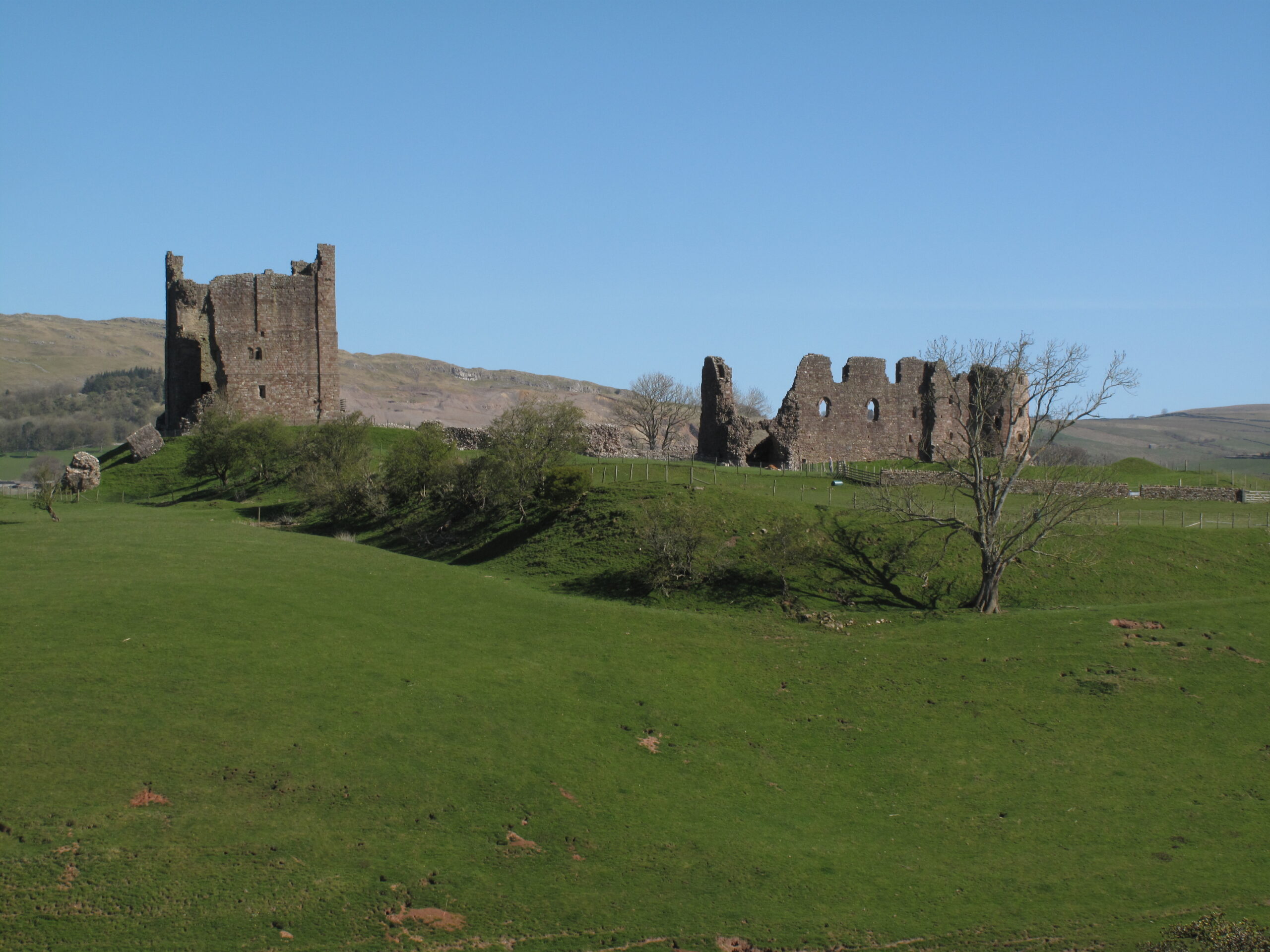
Leg 14 of the multi-day Roof of England Walk – a journey around the North Pennines. The final day shares Wainwright’s Pennine Journey route. After a foray across fields to Church Brough, pick up paths and tracks along the River Eden. Linear route – 25.7km.

This is a fine day’s walking to finish the Roof of England Walk with riverside paths and stone tracks with breath-taking views of the North Pennines escarpment. Paths across fields and along quiet lanes through tranquil villages, with houses built out of local red sandstone. It is possible to break the journey at Church Brough and have a look round the historic Brough Castle.

Roof of England Walk

Leg 14 of the Roof of England Walk shares the route of Wainwright’s Pennine Journey between Kirkby Stephen (NY 77651 08732 and ///snatched.tomato.bangle) and Appleby-in-Westmorland (NY 68371 20311 and ///grand.spurted.district). To follow this leg and the Roof of England Walk you will need to be able to map read/use a compass.

Turn-by-turn directions for this leg (including maps) are available as a pdf download. You can also download a GPX file to use on your own device (phone, watch or handheld).

Terrain

Rough, muddy and rocky riverside paths, tracks and grassy paths across fields. Lots of stiles over walls and fences. No major climbs but an undulating route with lots of small inclines.
Starts at 165m with a high point of just 205m. Over the day there is 365m of climb. Please make sure you take a paper map with you (at least as a backup). Leg 14 is covered by the following OS Maps: Explorer – OL19; and Landranger – 19.

Responsible visiting

Please make sure you follow the Countryside Code (Respect, Protect, Enjoy – www.countryside-code.org.uk) and behave responsibly whist enjoying the Roof of England Walk.

Points of interest

1

Start

Start of Roof of England Walk Leg 14 – Kirkby Stephen to Appleby-in-Westmorland.

2

Wainwright's Pennine Journey

Leg 14 shares the route of Wainwright’s Pennine Journey. Starting in Settle in the Yorkshire Dales the 200+ mile route heads up the eastern side of the Pennines to Hadrian’s Way and then heads south through the western Pennines back to the Dales. Over half of WPJ is within the North Pennines National Landscape. It is based on Alfred Wainwright’s original journey in September 1938.

3

Belah Scar

On the opposite side of the River Belah notice the outcrop of red Penrith Sandstone. This formed in the Permian – between 251 and 299 million years ago. When these rocks were being laid down Britain was part of a vast continent known as Pangaea and northern England lay near the equator. The spherical sand grains in this rock formed in deserts where they were rounded by relentless wind-blasting.

4

Church Brough and Market Brough

Brough’s importance lies in its position below the pass of Stainmore, over which a major Roman road ran. The Normans planned a settlement around the castle – Church Brough. But a market developed just to the north and by the early 14th century ‘Market Brough’ (aka Brough) was the dominant settlement. The parish church of St Michael’s is Grade II* listed, sandstone-built, and dates to 1150.

5

Brough Castle

The first ‘castle’ at Church Brough was the Roman fort of Verterae, which guarded the road from York to Hadrian’s Wall at Carlisle. Founded in c1100 the present ruins date largely to the late 12th century. It was rebuilt by Lady Anne Clifford between 1659 and 1661, although much of the structure has been re-purposed, and used in local buildings.

6

St. Theobald's Church

St. Theobald’s Church has always been subject to flooding and eventually it was rebuilt on higher ground in 1845. The field between the church and the bridge ‘Musgrave Church Field’ still floods regularly.

7

Musgrave Bridge

This has been a crossing point across the River Eden since historic times. Originally via a stone-paved wath, or ford and then over a wooden bridge – which was often damaged by floods. The stone bridge dates to 1825 – after ‘the great flood’ of 2 February 1822 swept away all the bridges on the River Eden (apart from at Warcop).

8

Hares

If you keep your eyes peeled by might be lucky enough to spot brown hares in fields like these. They’re golden brown, with a paler belly and a white tail, bigger than a rabbit, with longer legs and longer ears – with black tips. They like open farmland, grassland habitats – especially near woodland edges. They are superfast, reaching speeds of up to 45mph when running away from predators.

9

North Pennines escarpment

Pause here and take in view of the North Pennine escarpment - one of the most prominent landscape features in northern England. Look closely and you can spot the conical Murton Pike, which you climbed on Day 1. It formed due to different rates of erosion over millions of years - the Carboniferous rocks of the North Pennines being generally harder than the Permo-Triassic rocks in the Vale of Eden.

10

River Eden

Much of leg 14 follows the River Eden. The river, unlike most of the country’s rivers, flows north from its source above Kirkby Stephen to the sea via the Solway Firth. It is 80 miles long and provides a home for a variety of aquatic plants and animals. It supports salmon spawning areas, wild Atlantic salmon, sea lamprey, river lamprey, white-clawed crayfish, bullhead and otter.

11

Appleby Castle

The extensive Grade I listed Appleby Castle dates to the 12th century. The keep, known as Caesar’s Tower, and a mansion house are arranged around a courtyard which is surrounded by curtain walls. Lady Anne Clifford is perhaps the castle’s most renowned resident – in the mid-17th century. She held the office of High Sheriff of Westmorland between 1653 and 1676.

12

Boroughgate

Boroughgate links Appleby Castle to St. Lawrence’s Church and forms the main street in the town – around which the market developed.

13

Moot Hall

Moot is an old English word meaning ‘meeting’. The Moot Hall in Appleby dates to 1596 and was built as a council chamber – a function it still fulfils today. It is one of only two Moot Halls in the country which are still used for council meetings. It also houses a Tourism Information Centre for the town.

14

Finish

Finish of Roof of England Walk Leg 14 – Kirkby Stephen to Appleby-in-Westmorland.

Introduction
01