


1
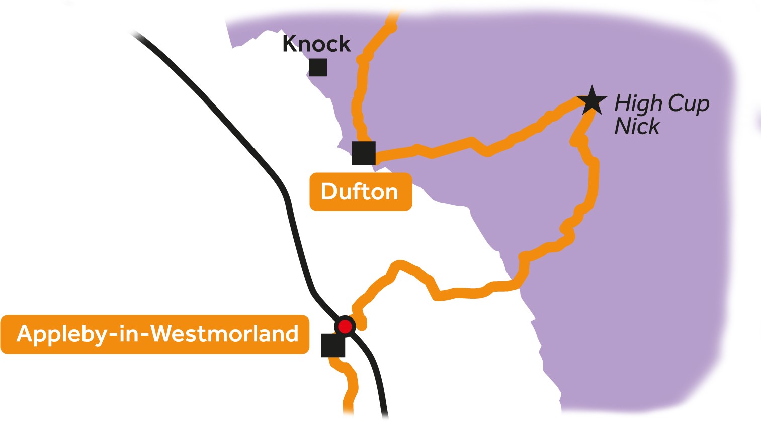
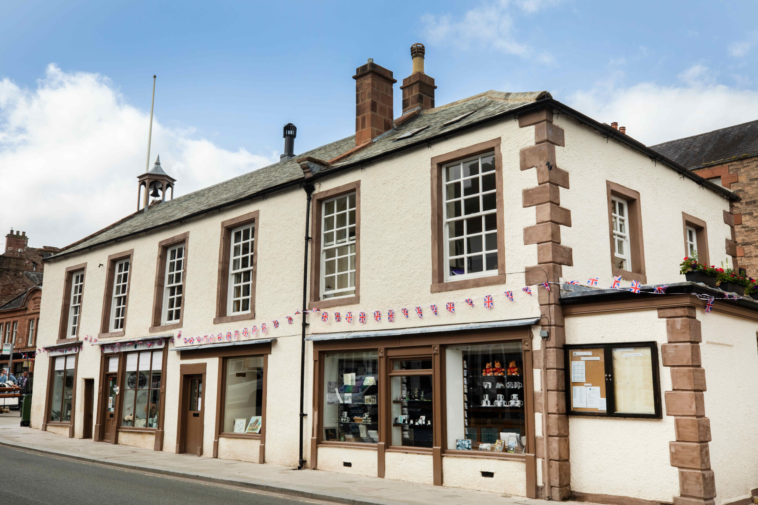
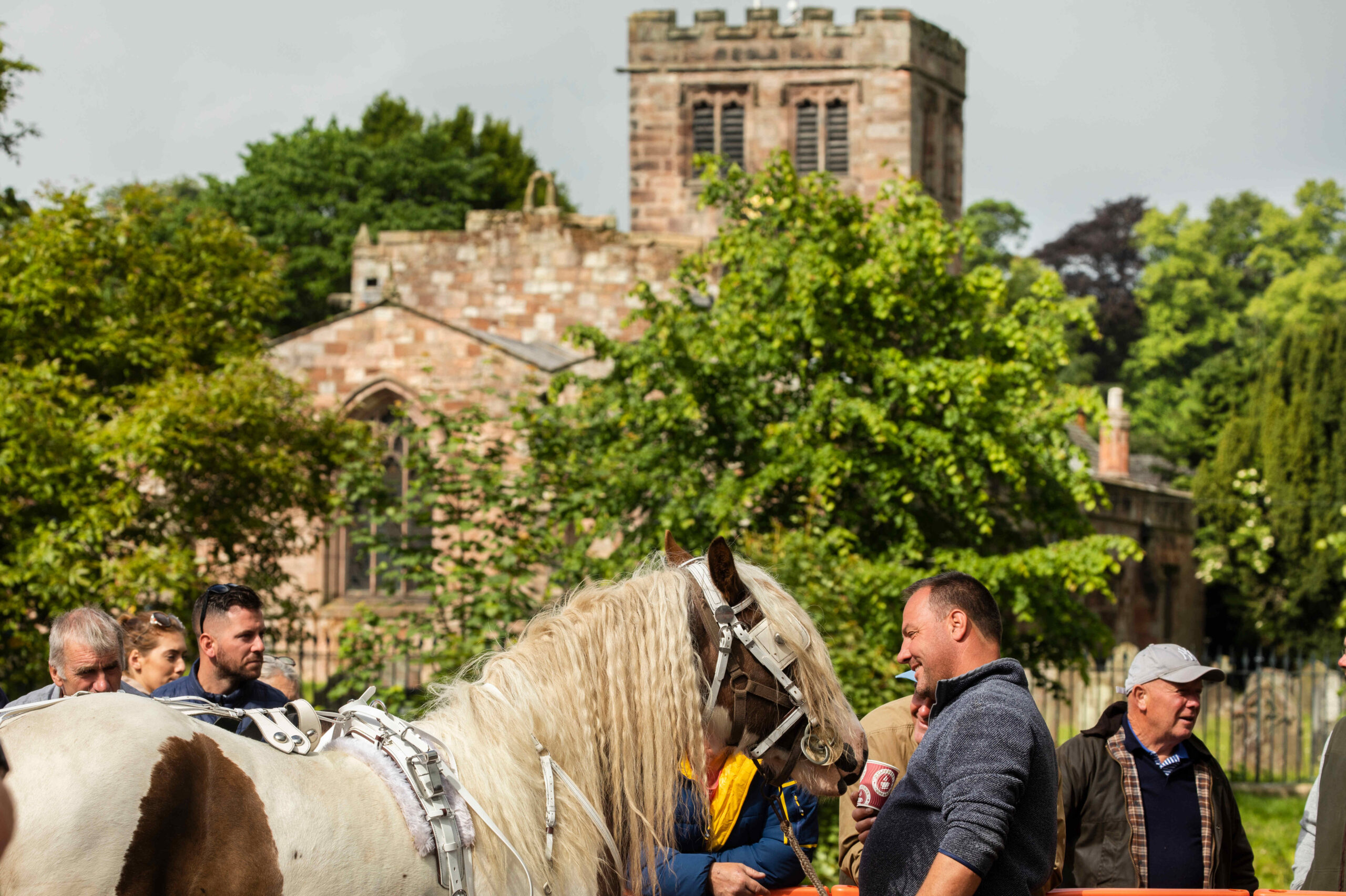
Appleby-in-Westmorland to Dufton

2
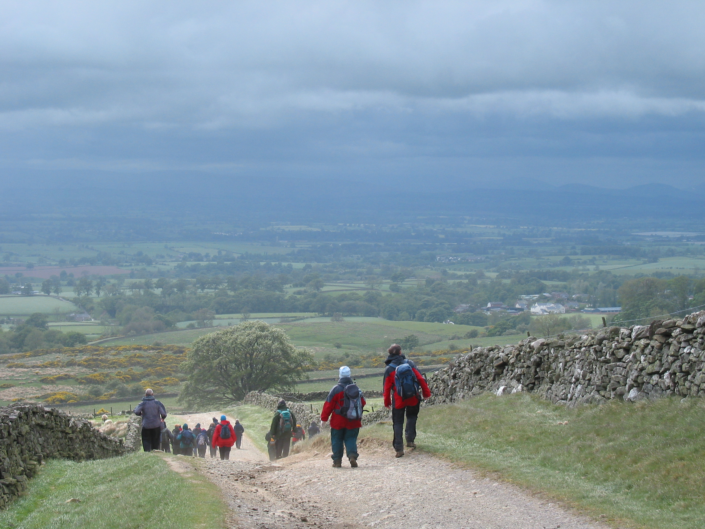
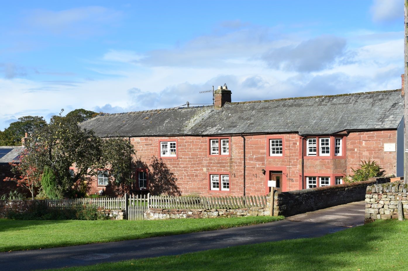
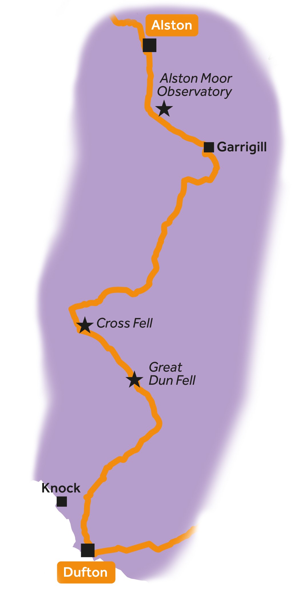
Dufton to Alston


3
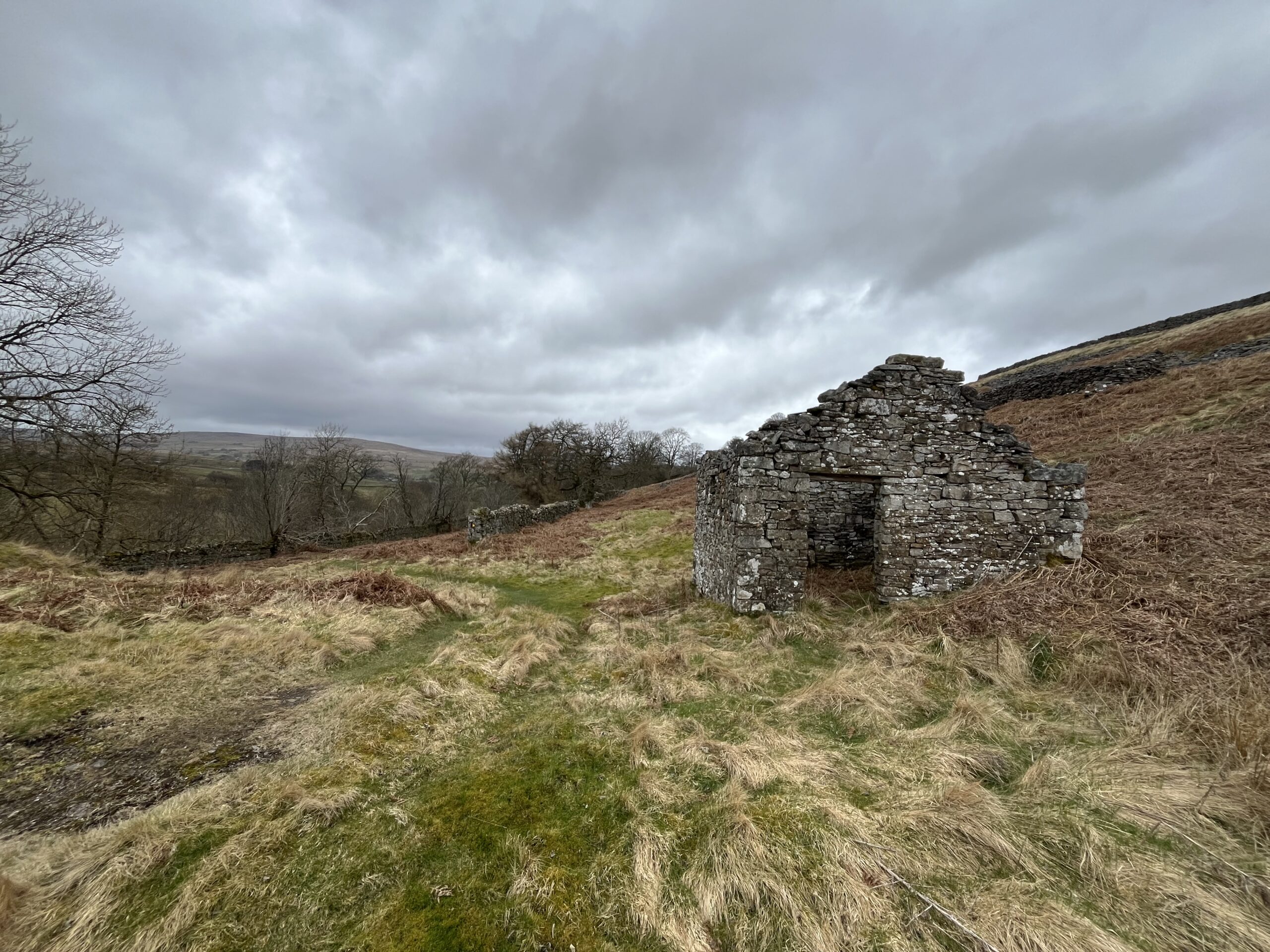
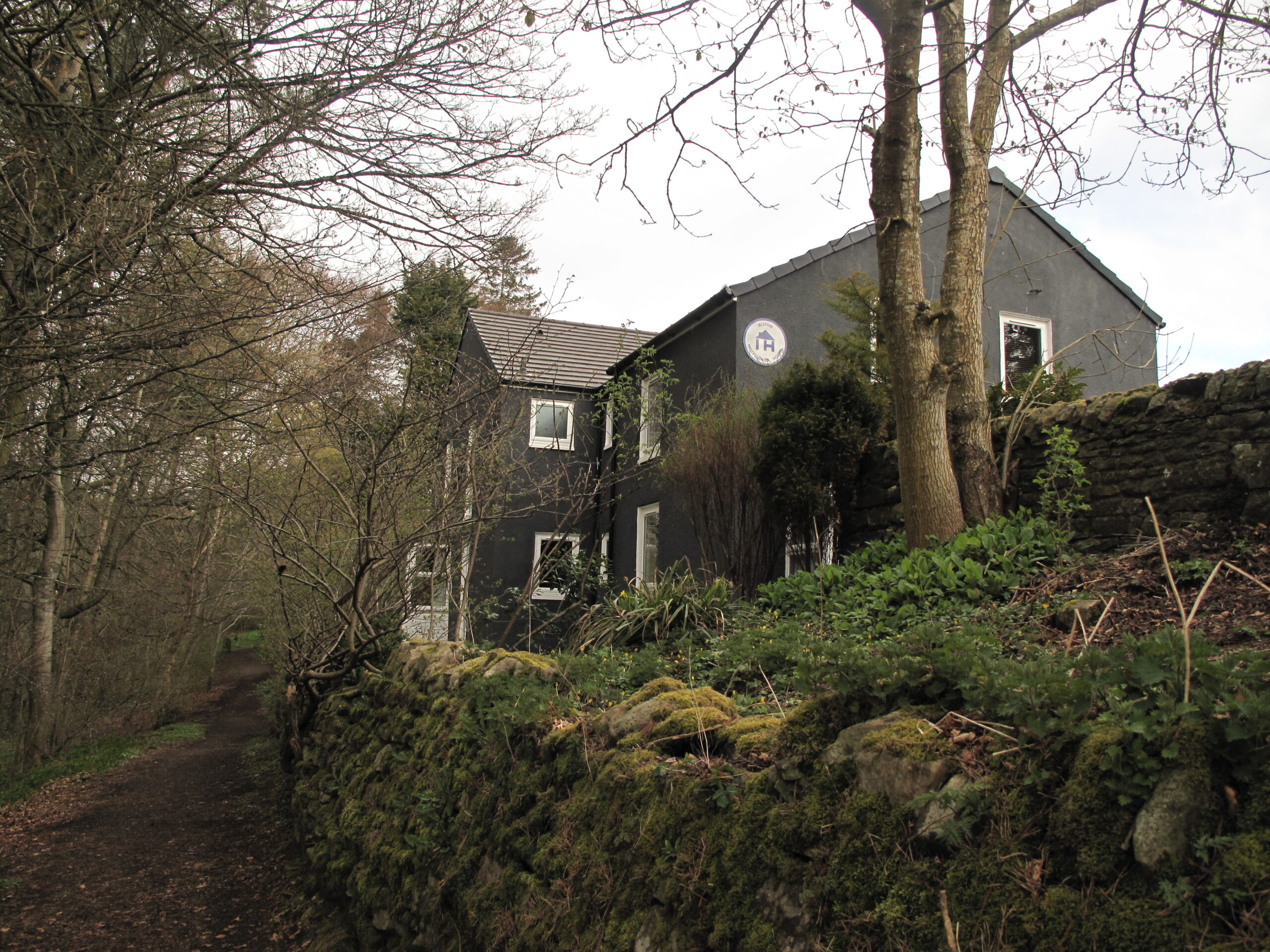
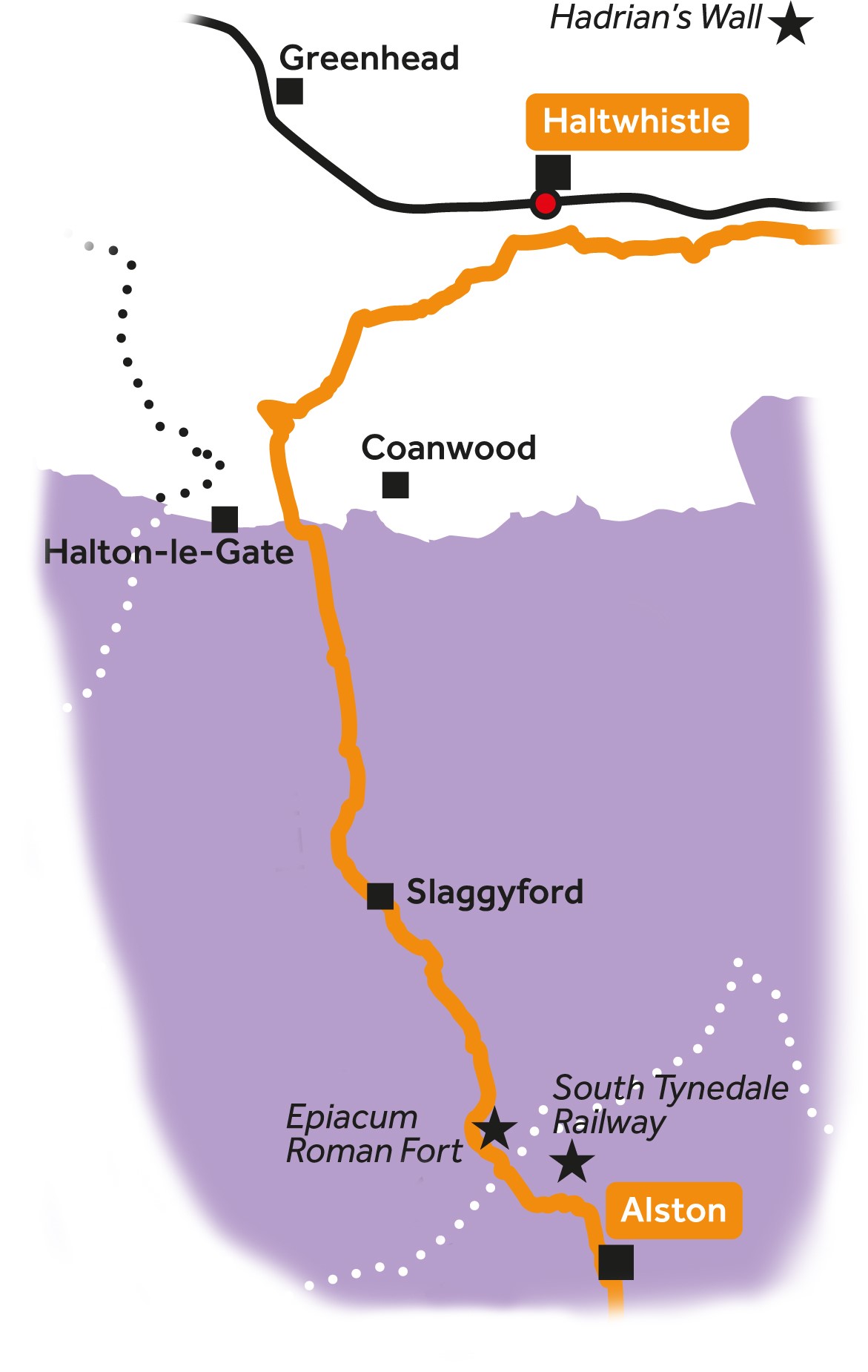
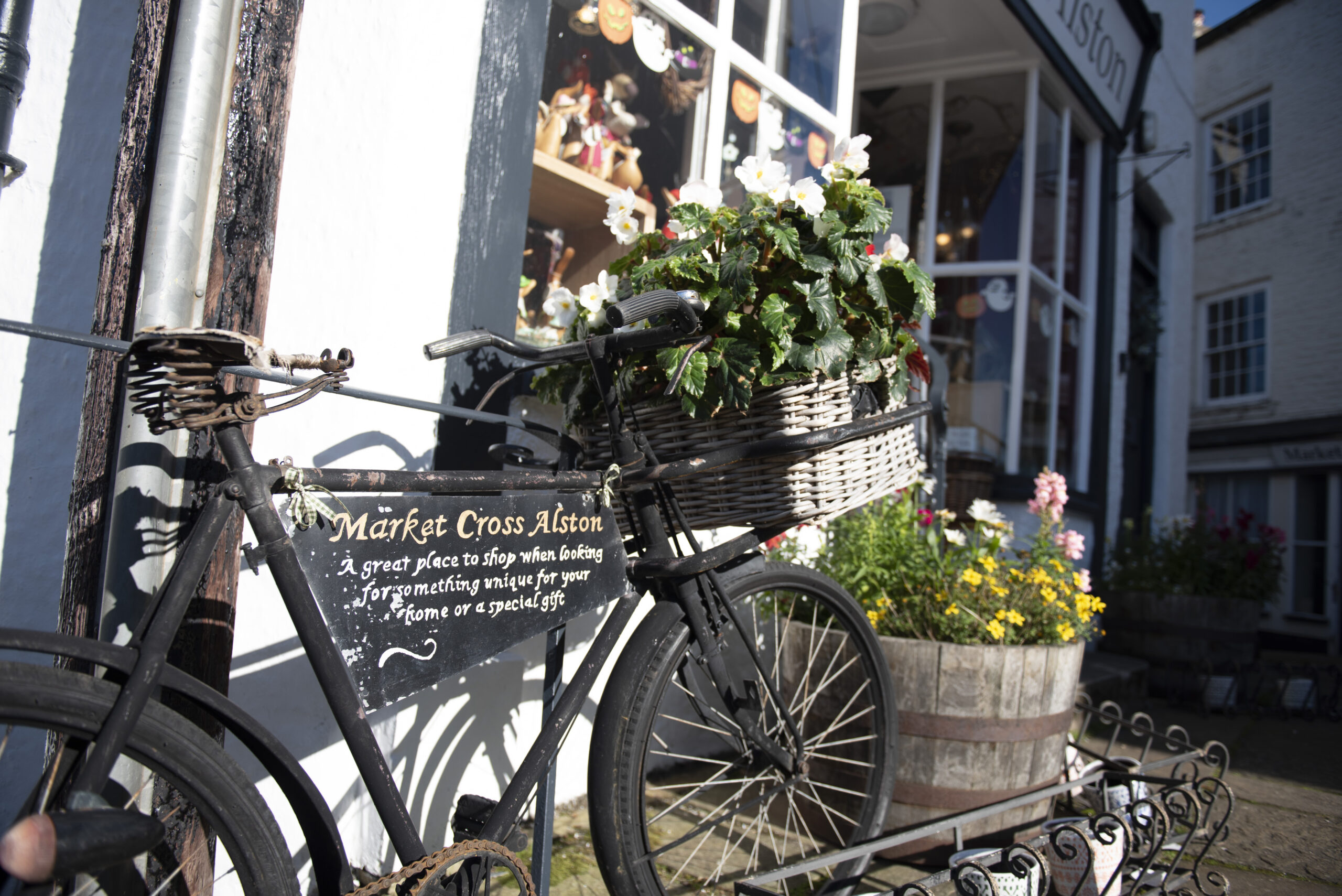
Alston to Haltwhistle


4
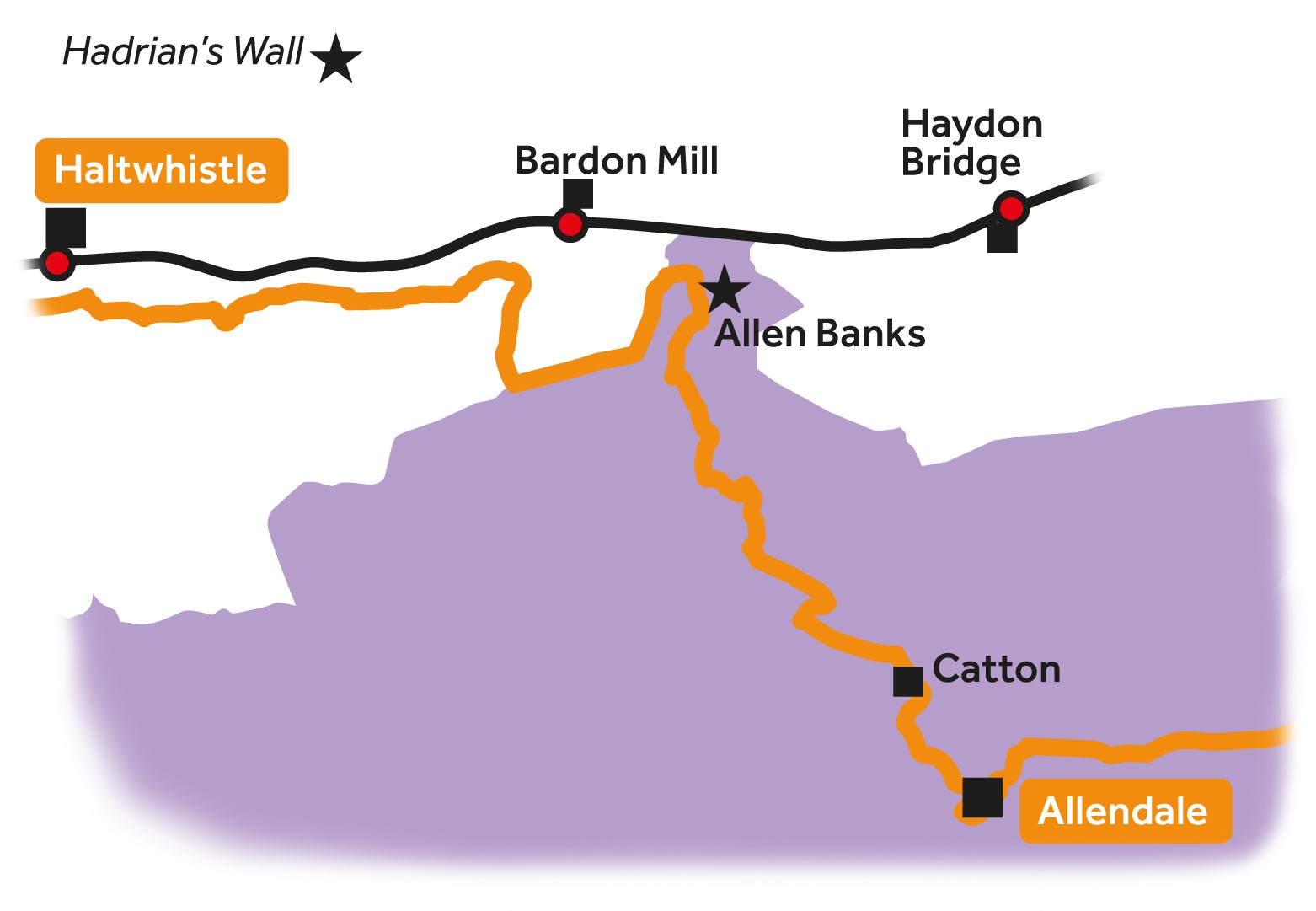
Haltwhistle to Allendale


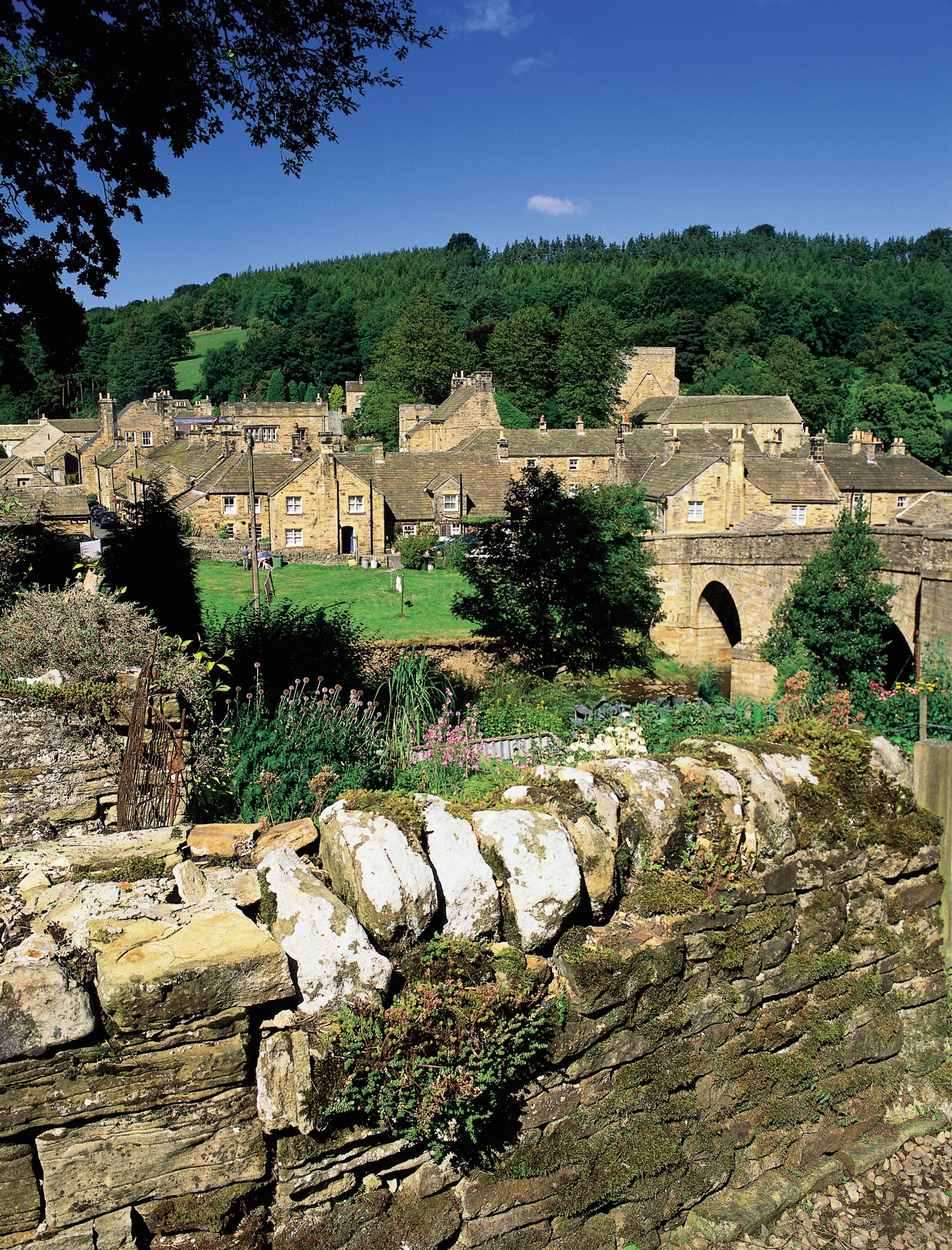
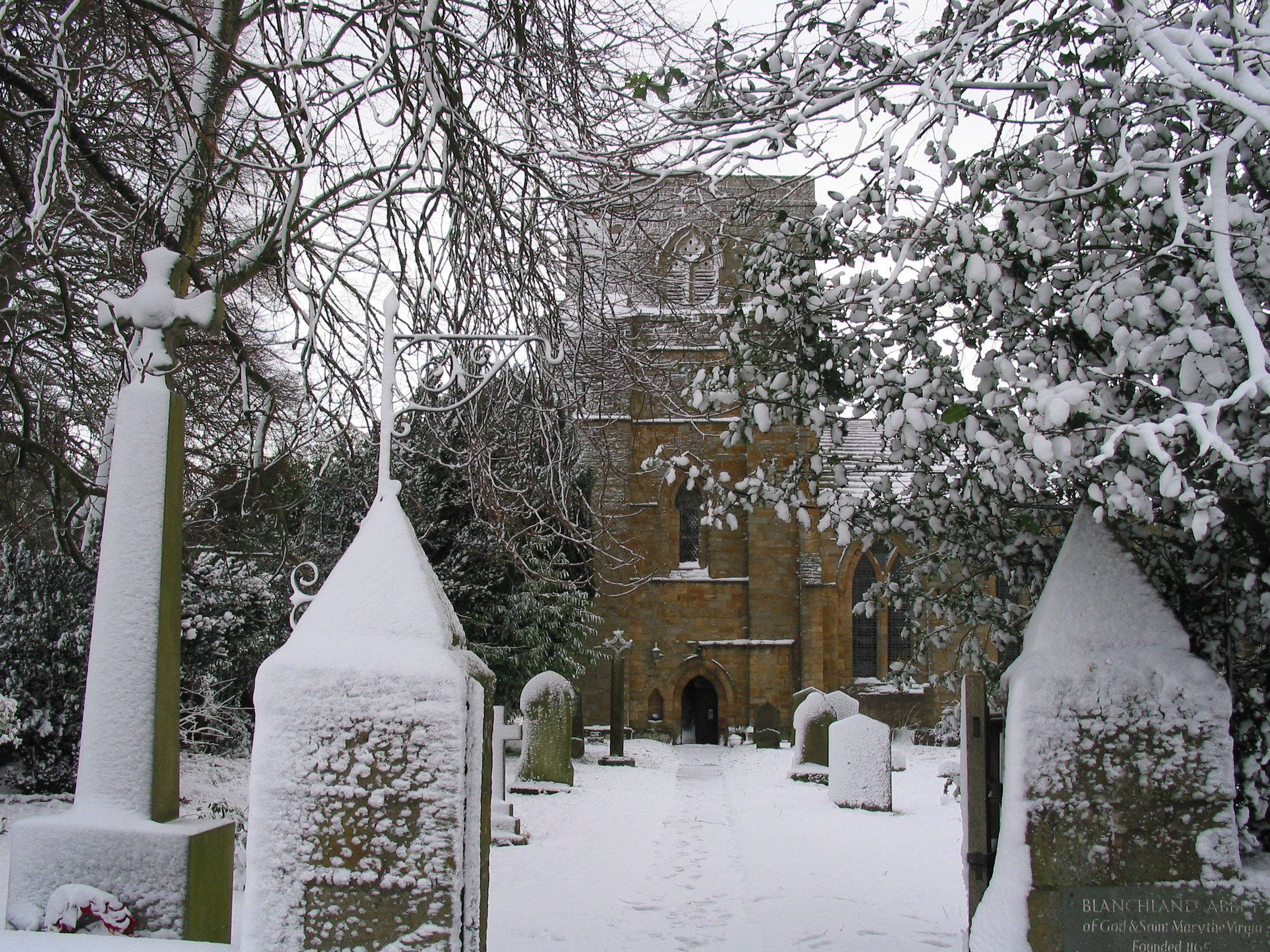
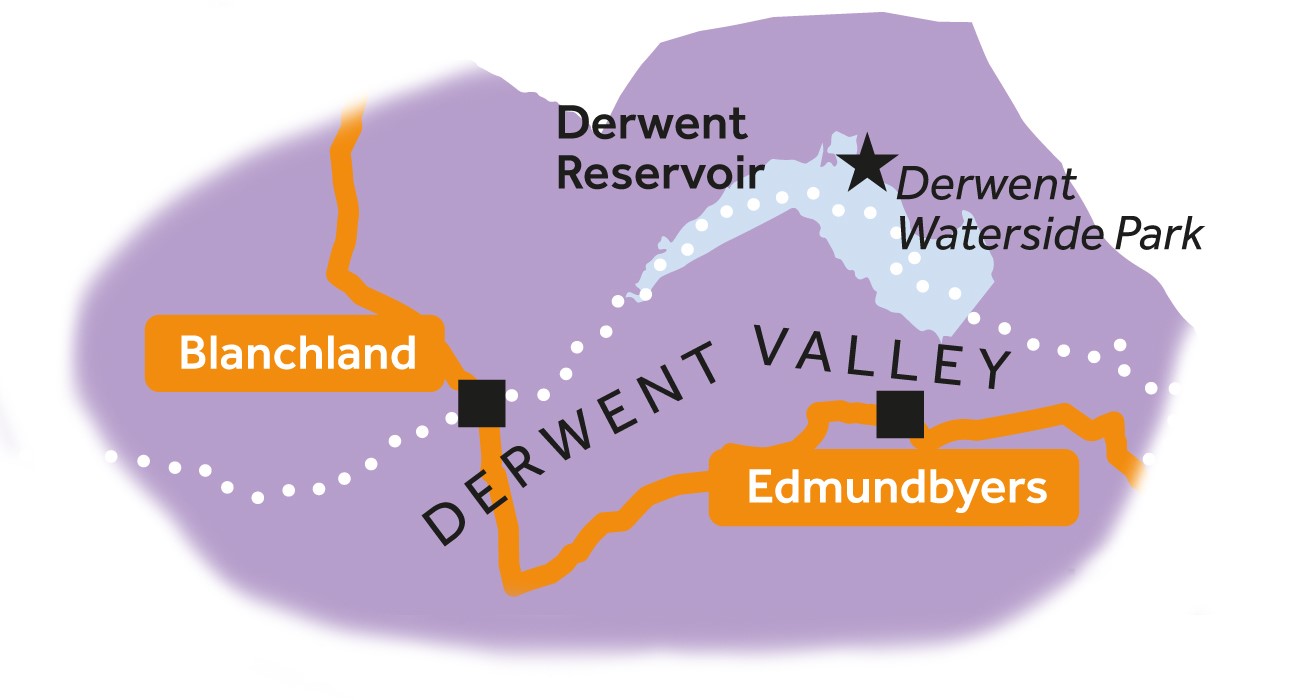
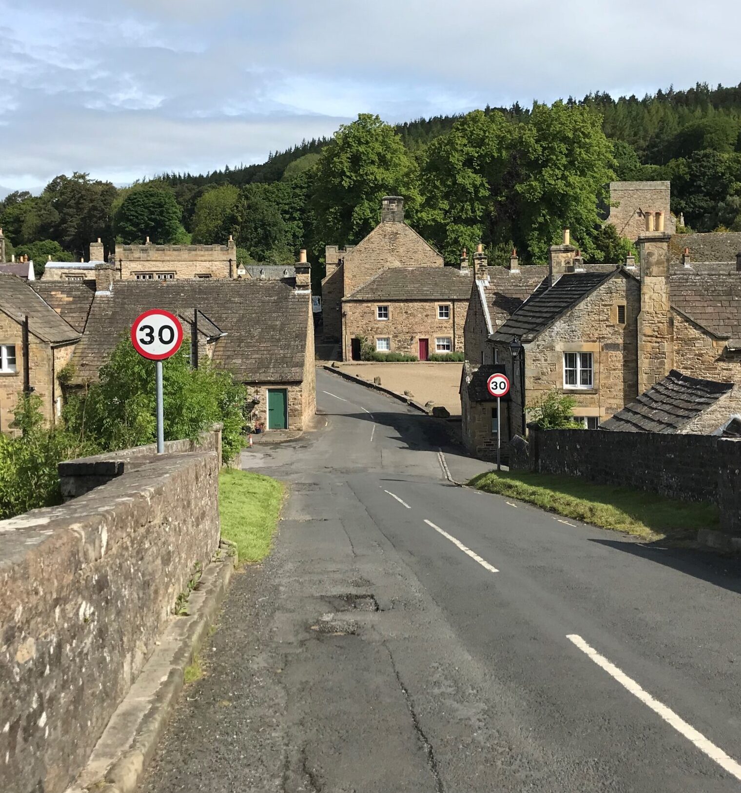
6
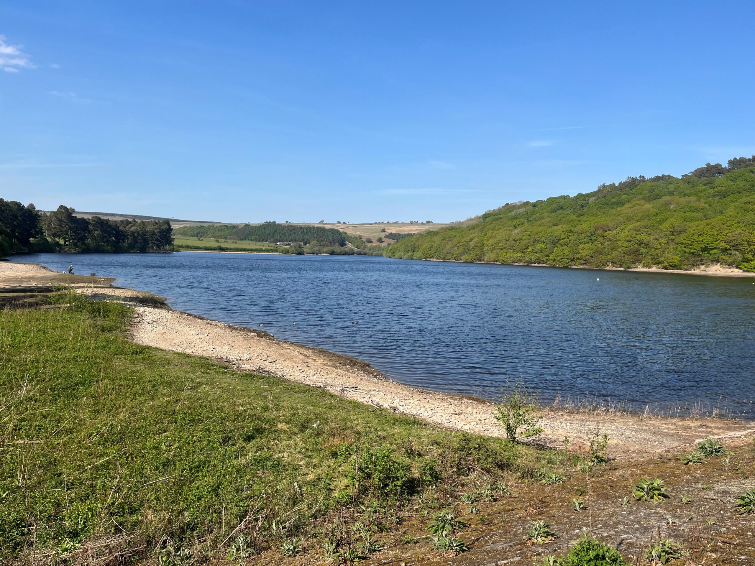
Blanchland to Edmundbyers

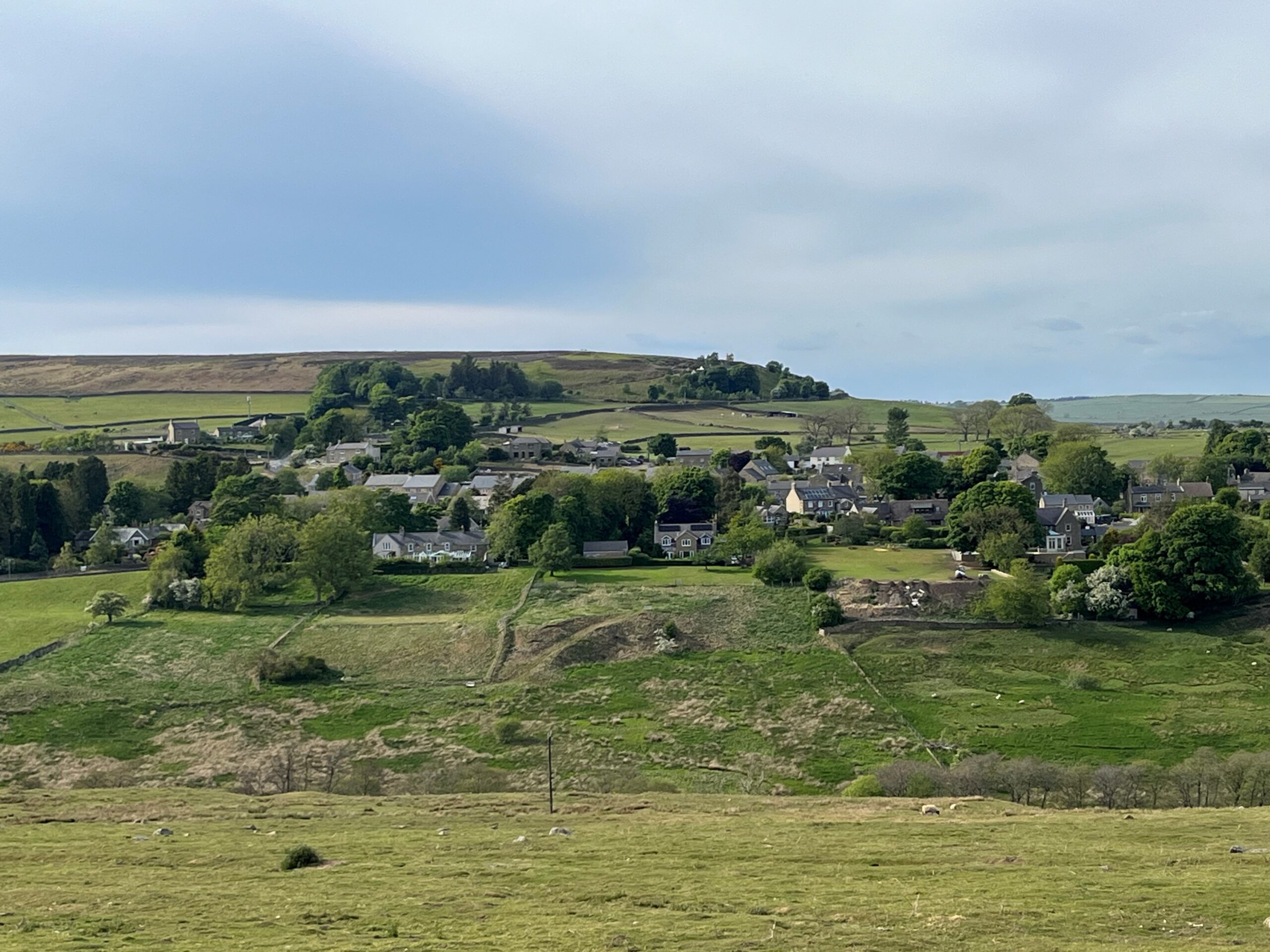

7
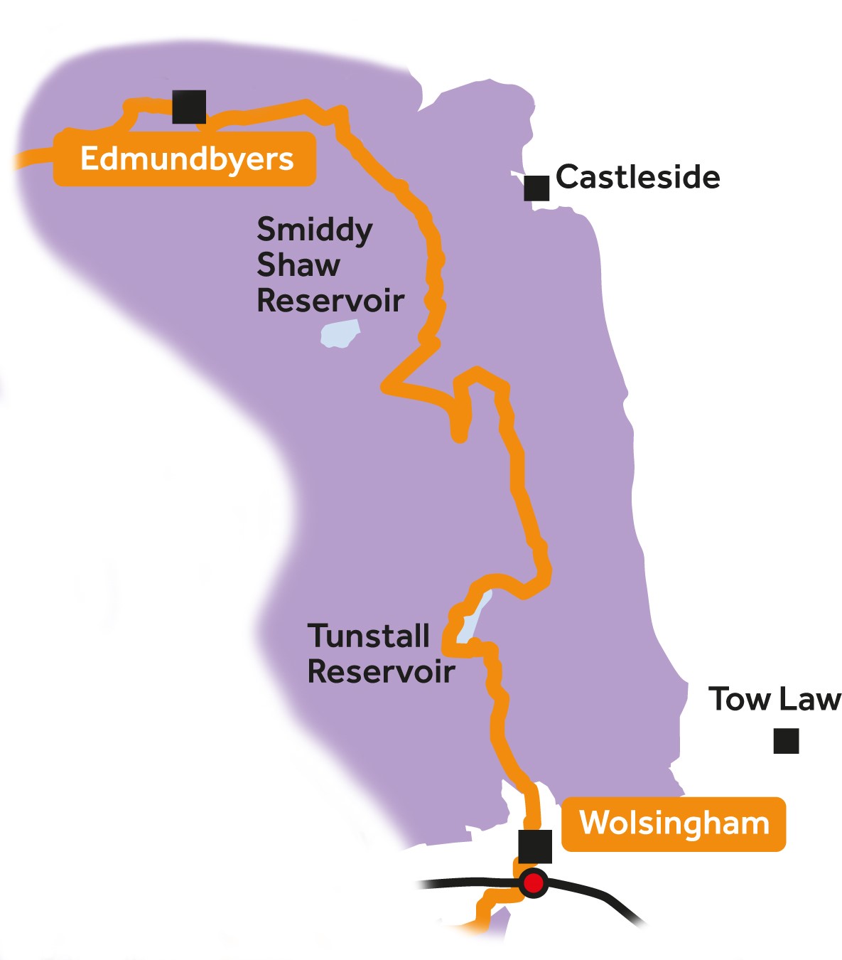
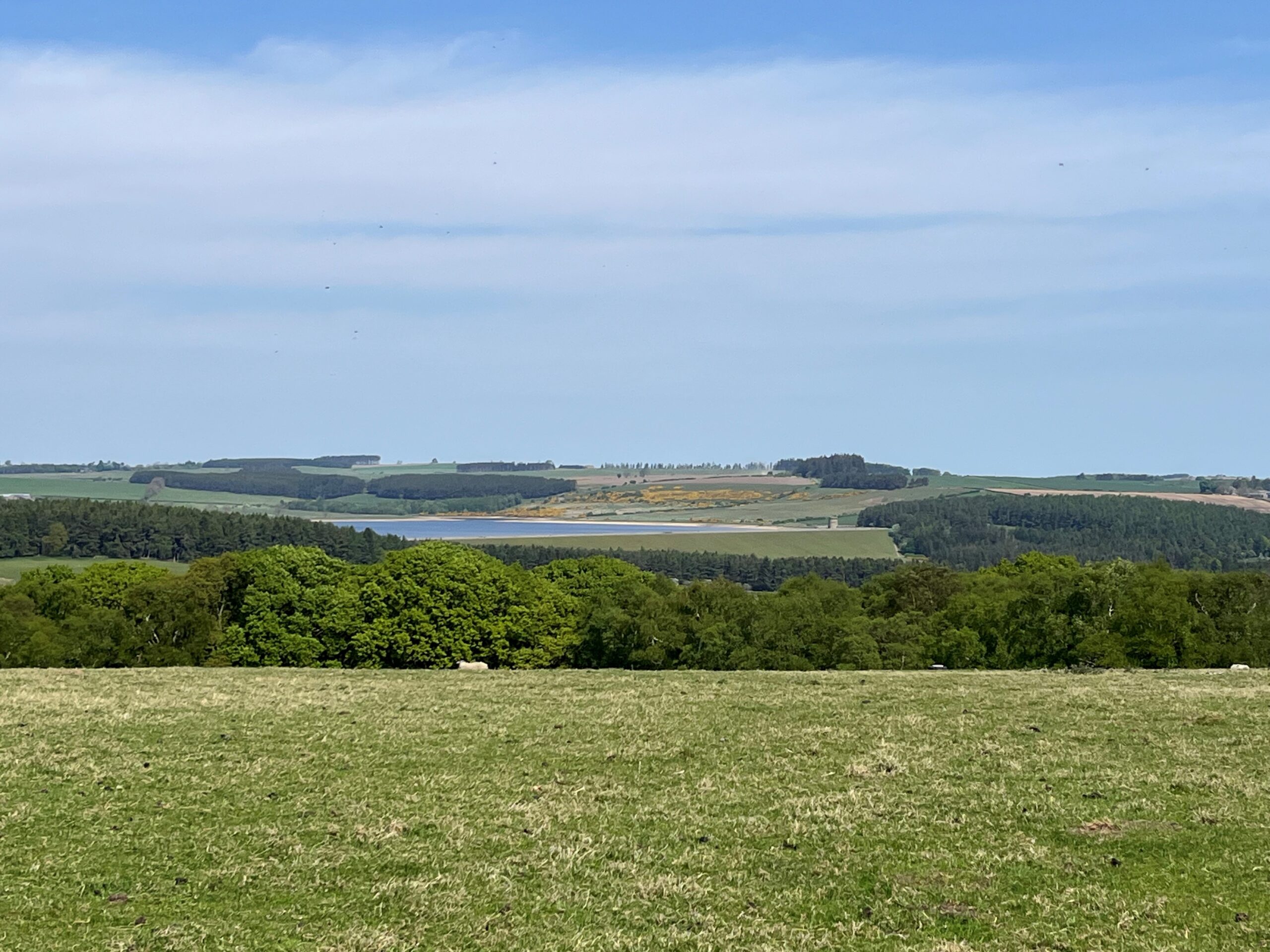
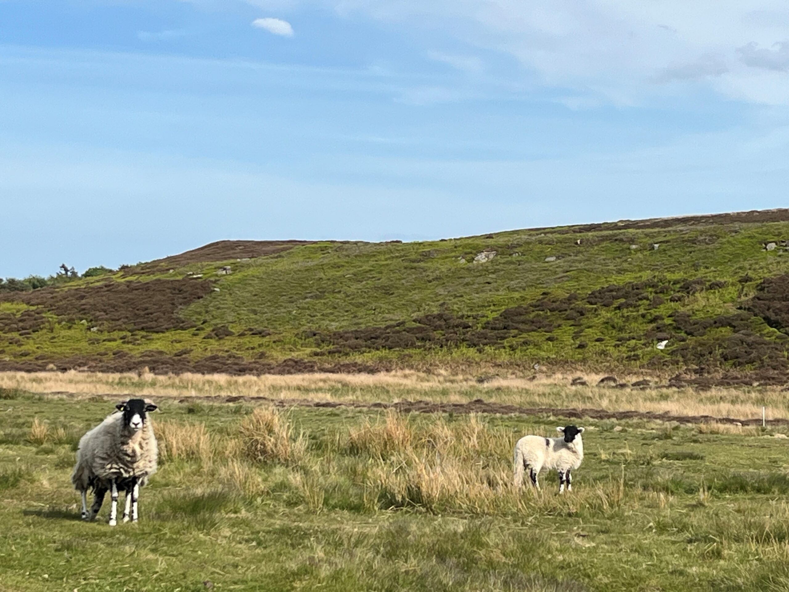
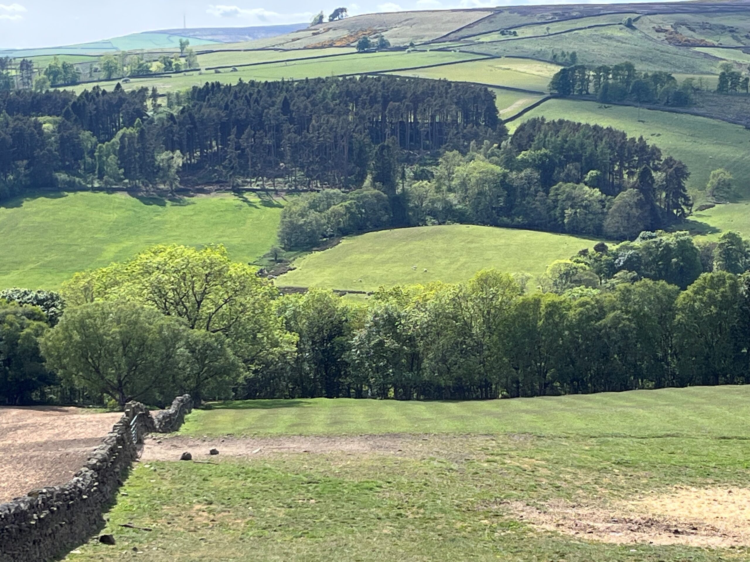
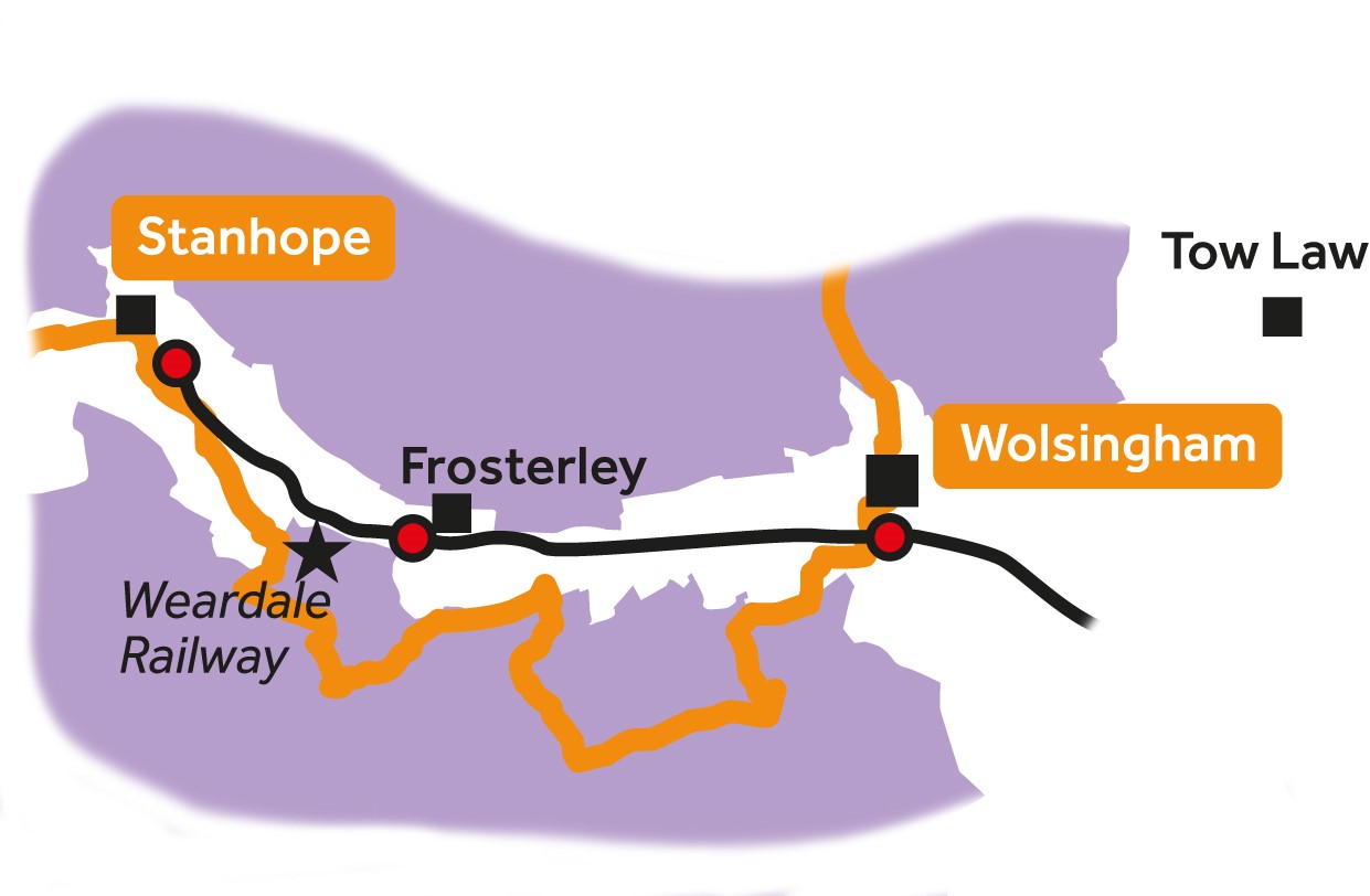
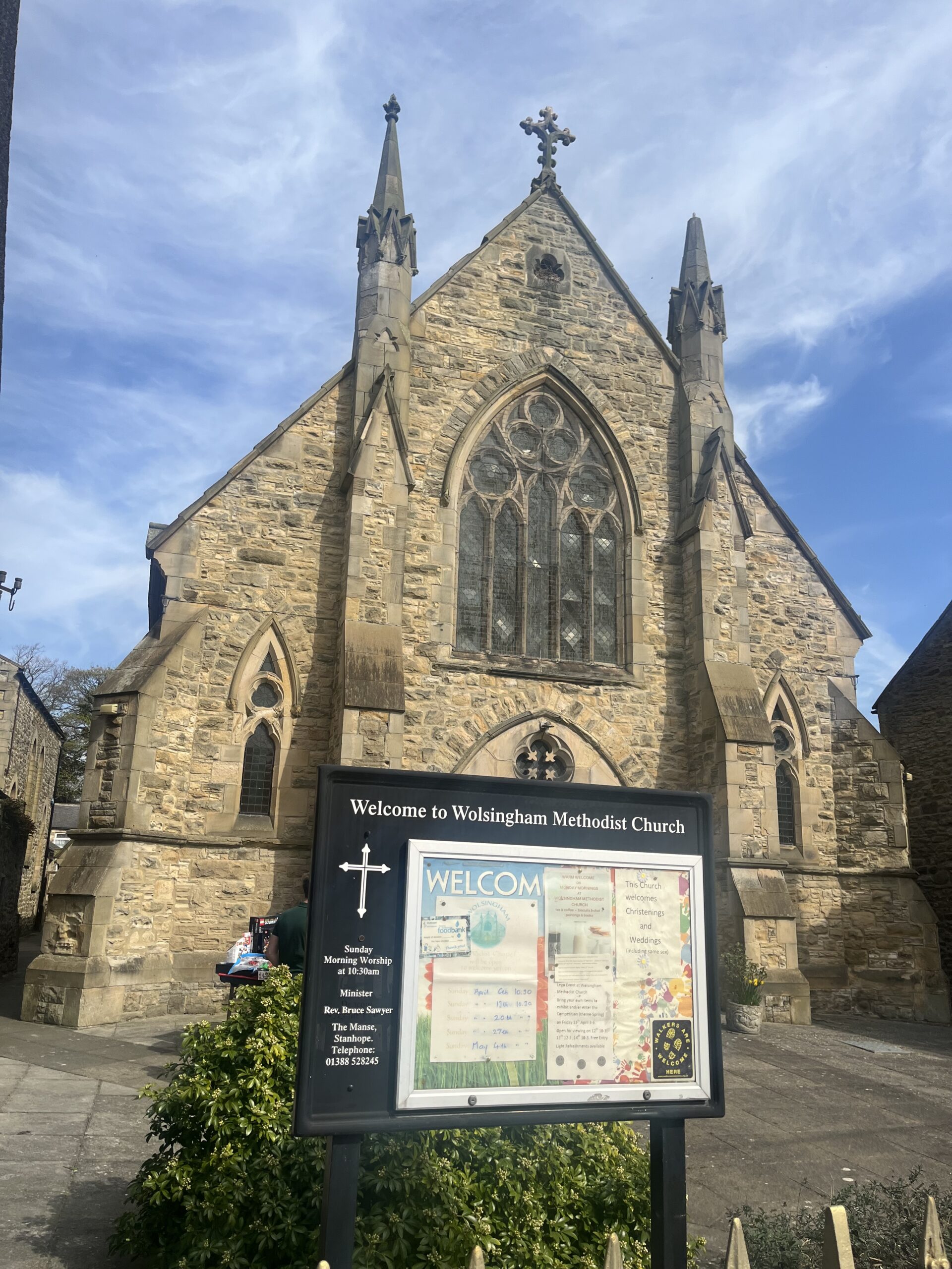
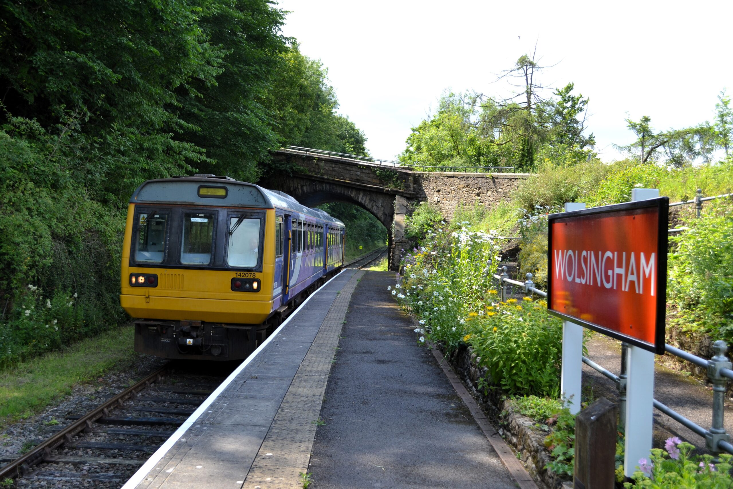
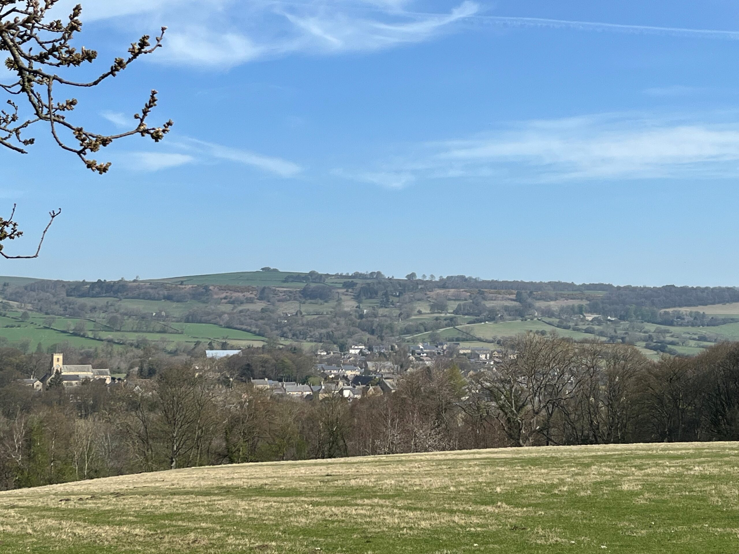
Edmundbyers to Wolsingham

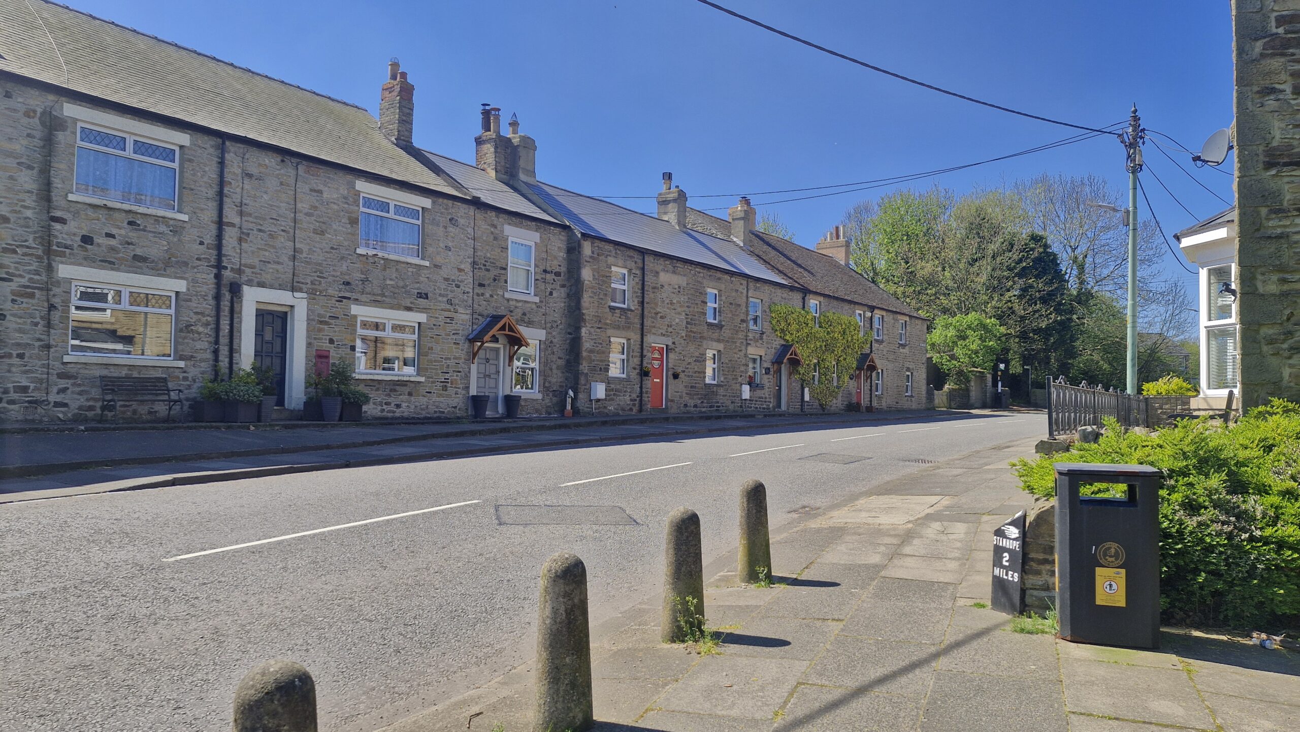
8
Wolsingham to Stanhope
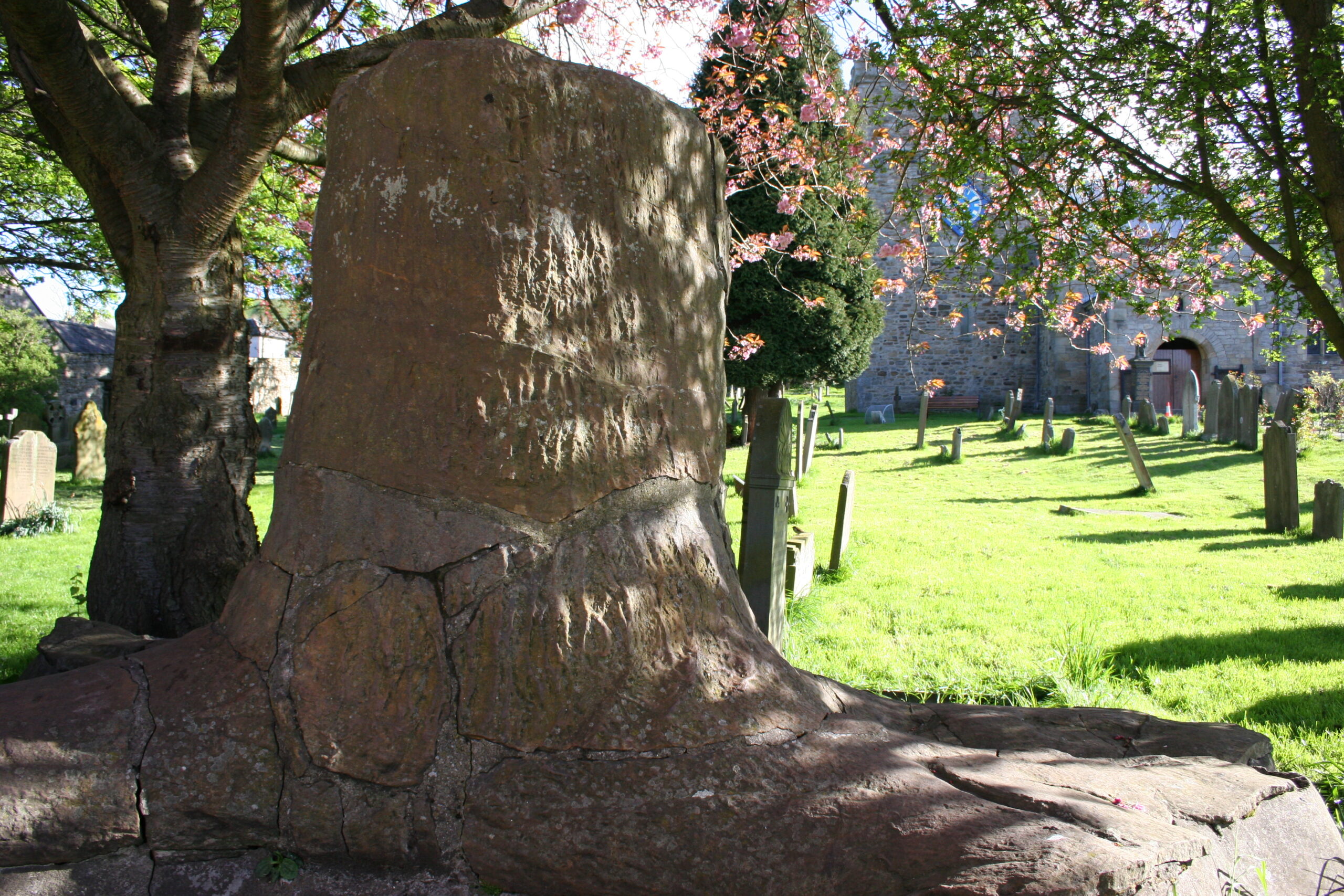
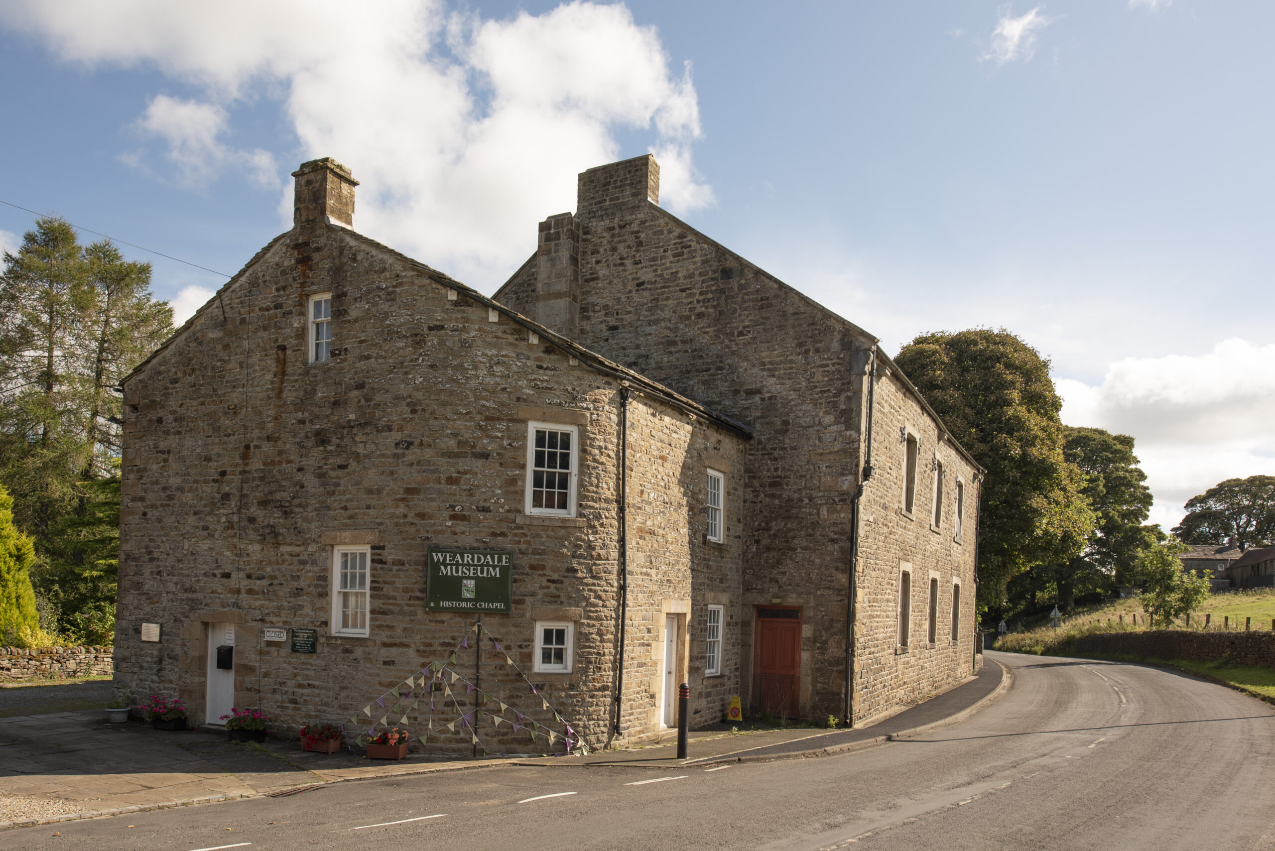
10
St. John’s Chapel to Saur Hill Bridge
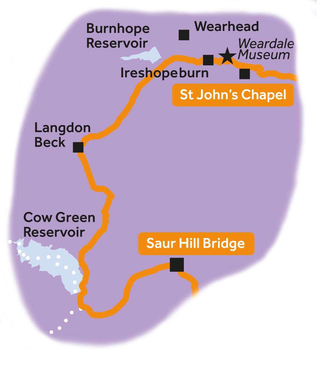
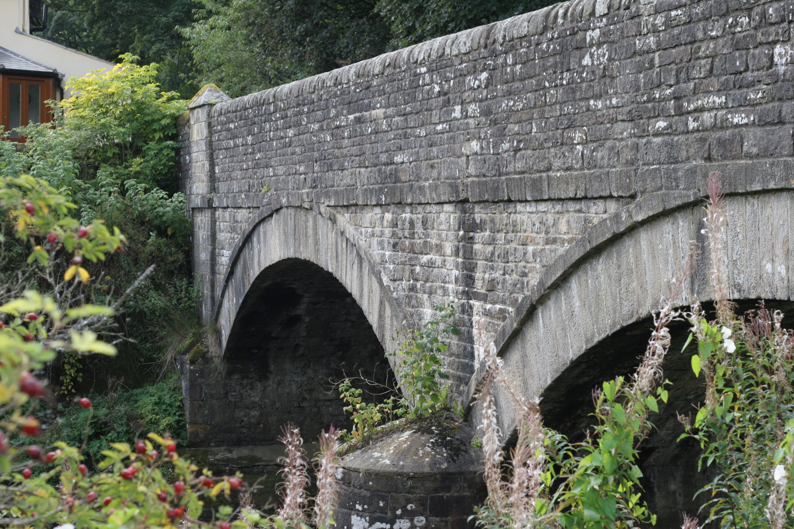
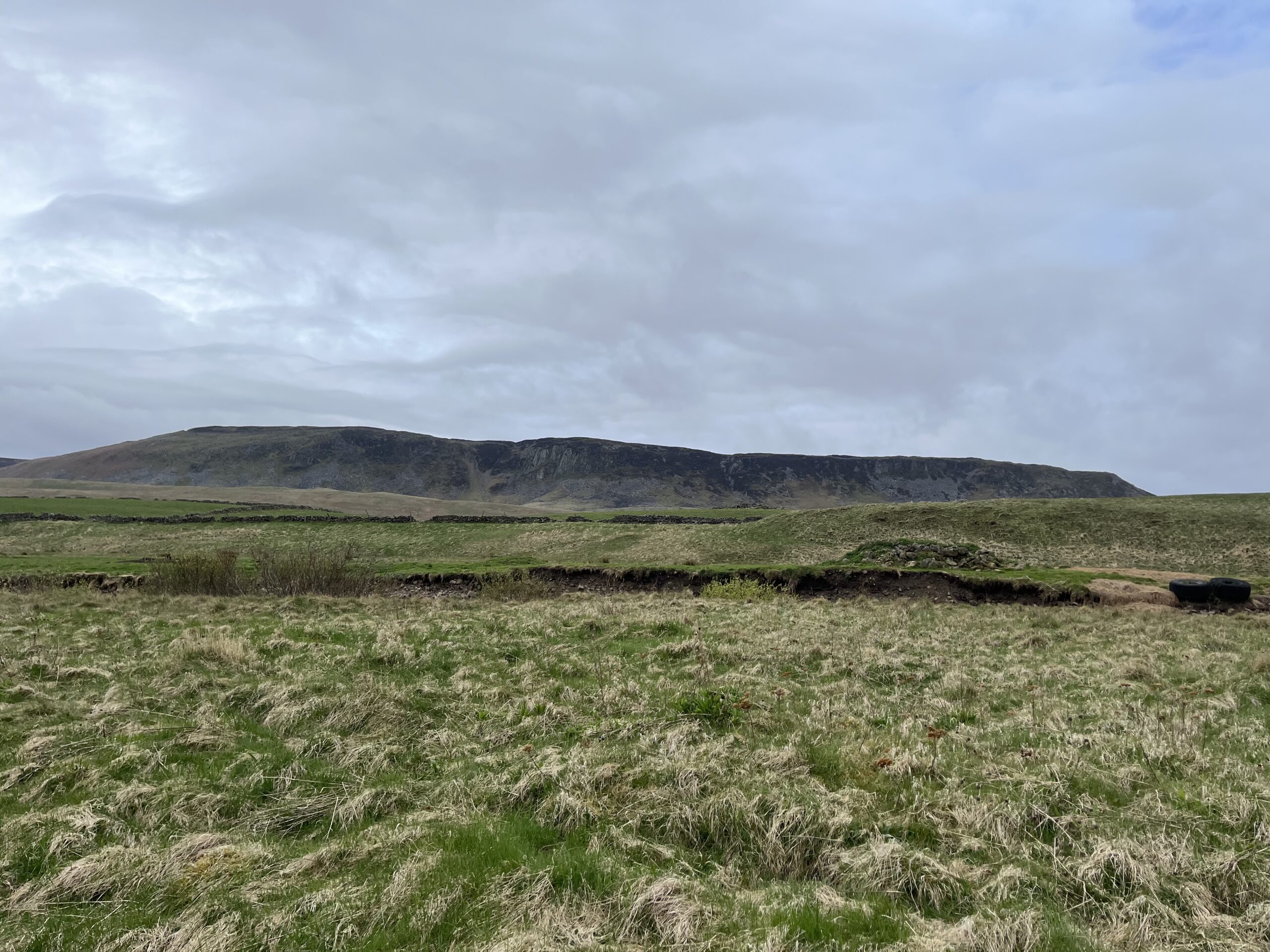
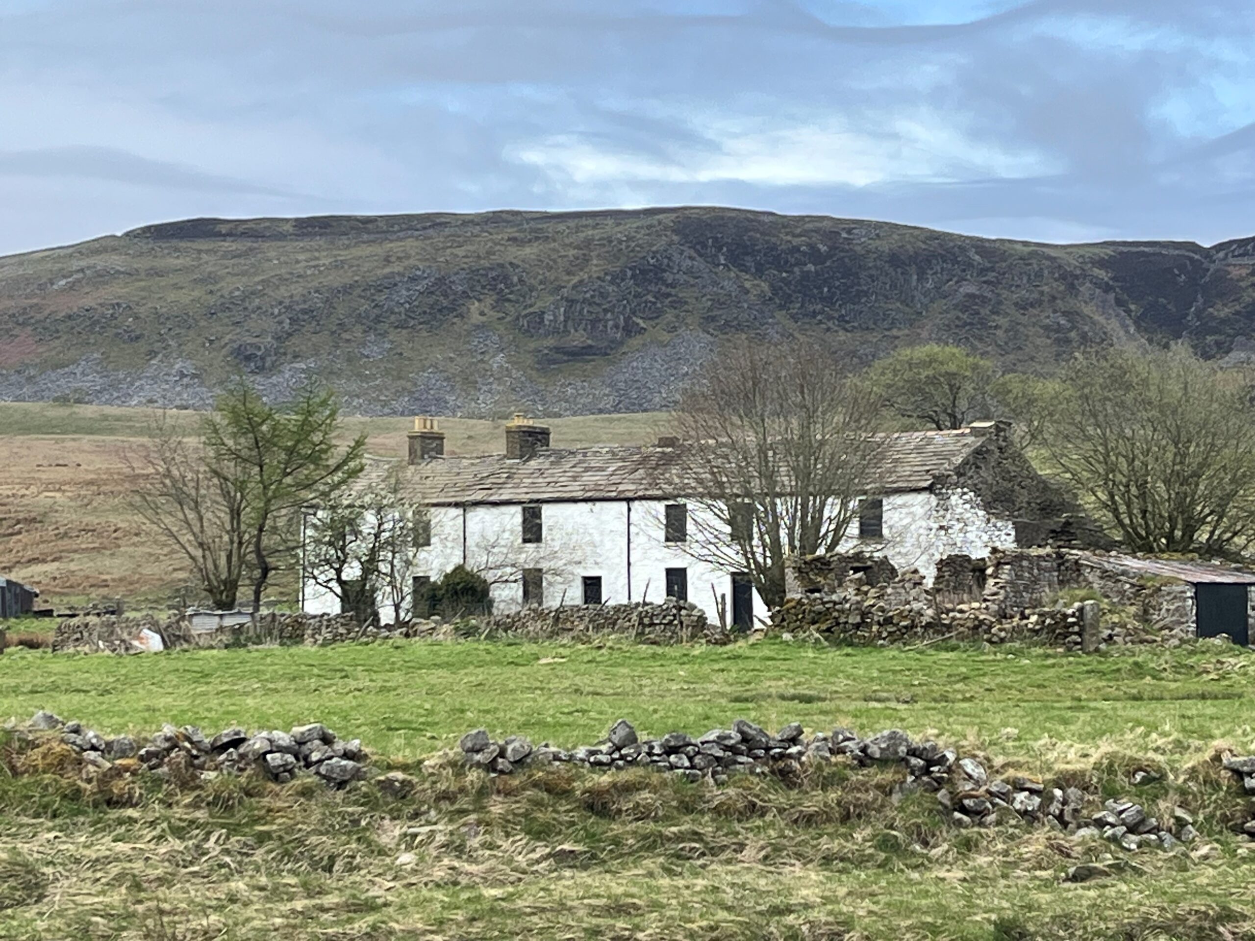
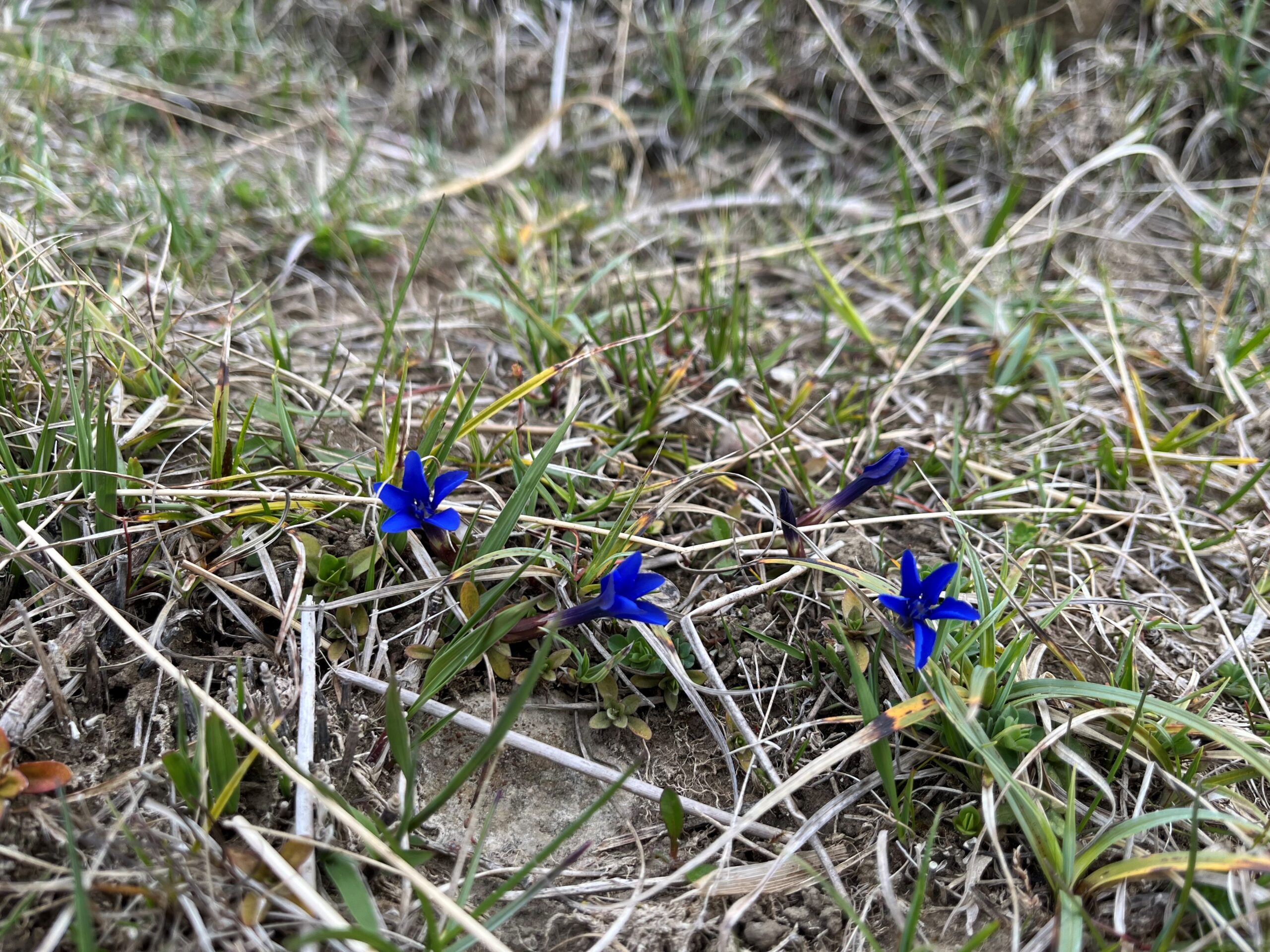
11
Saur Hill Bridge to Middleton-in-Teesdale
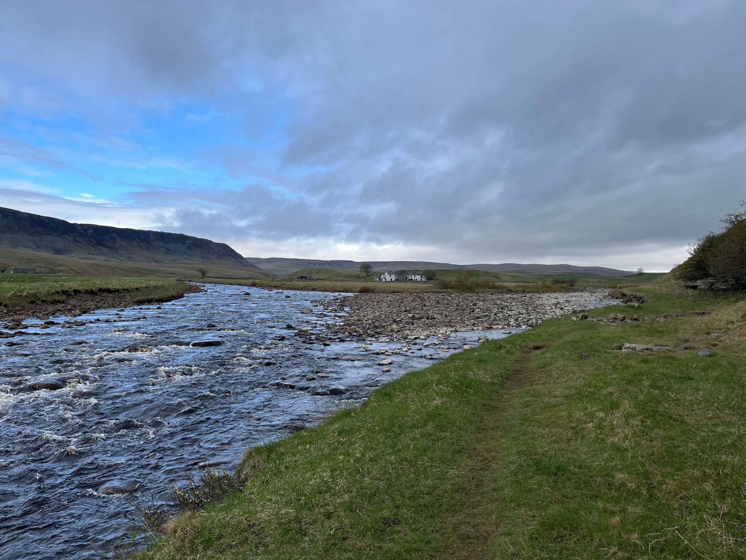
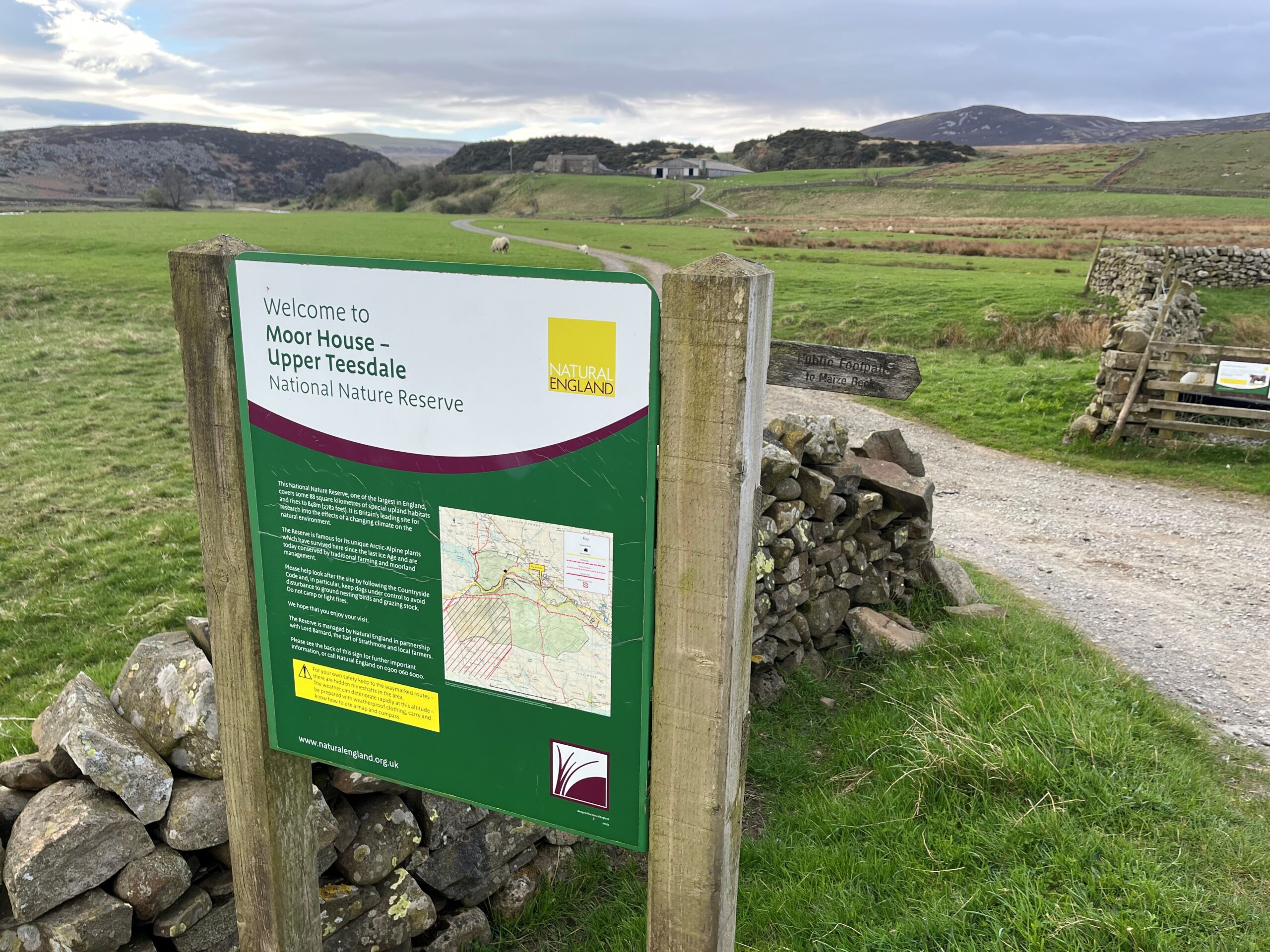

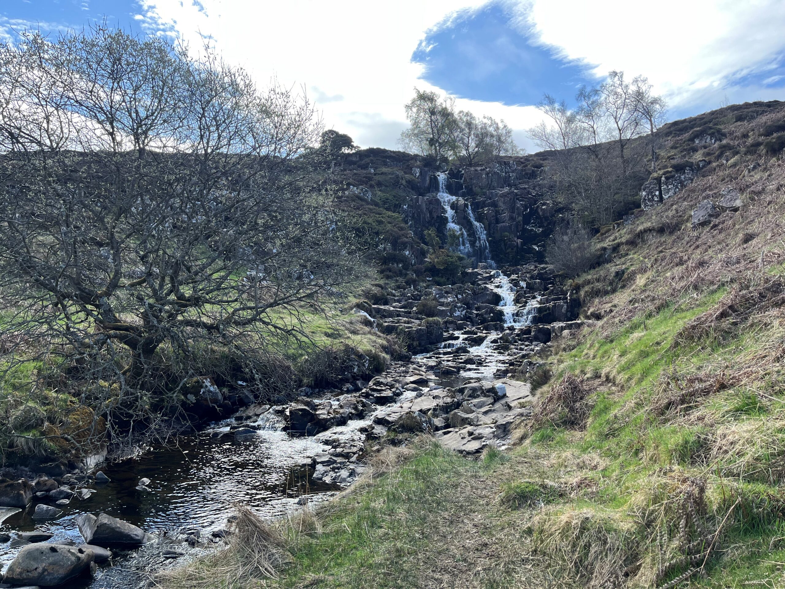

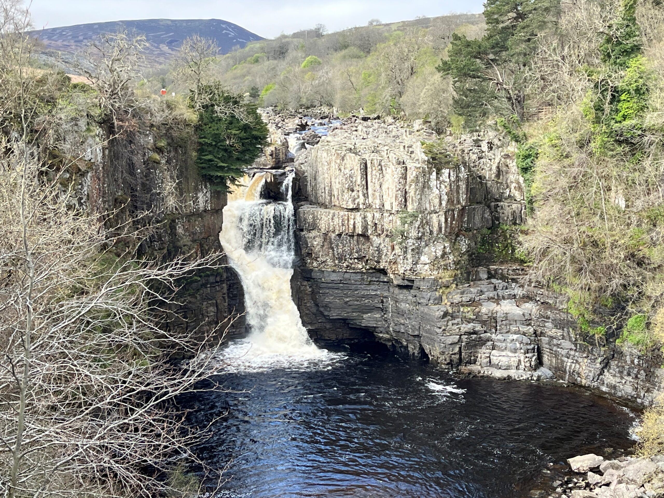
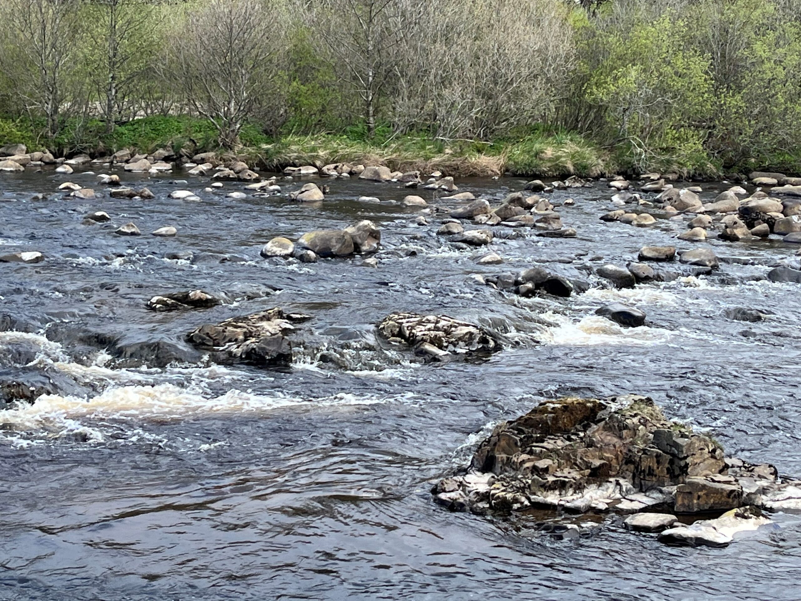
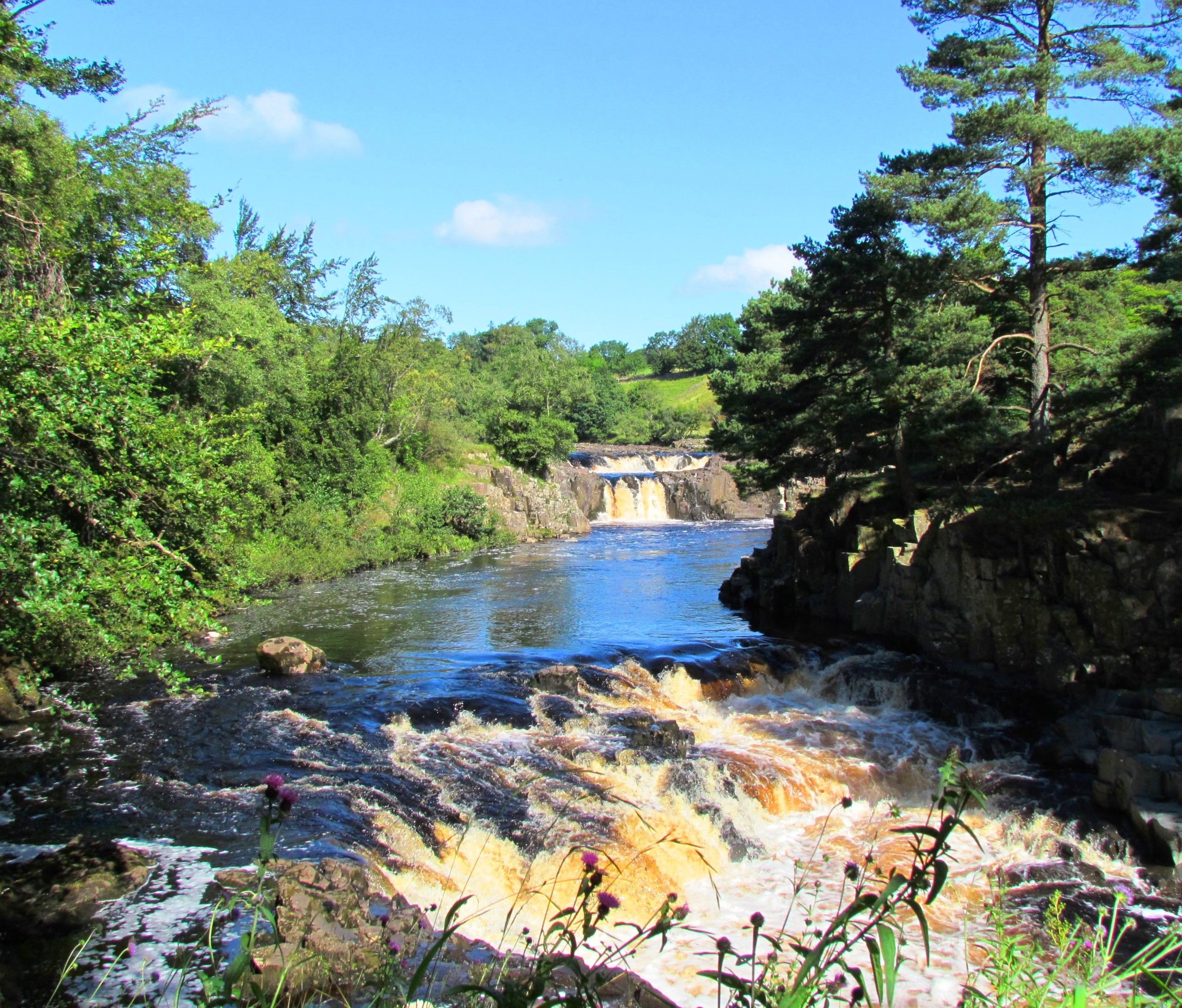

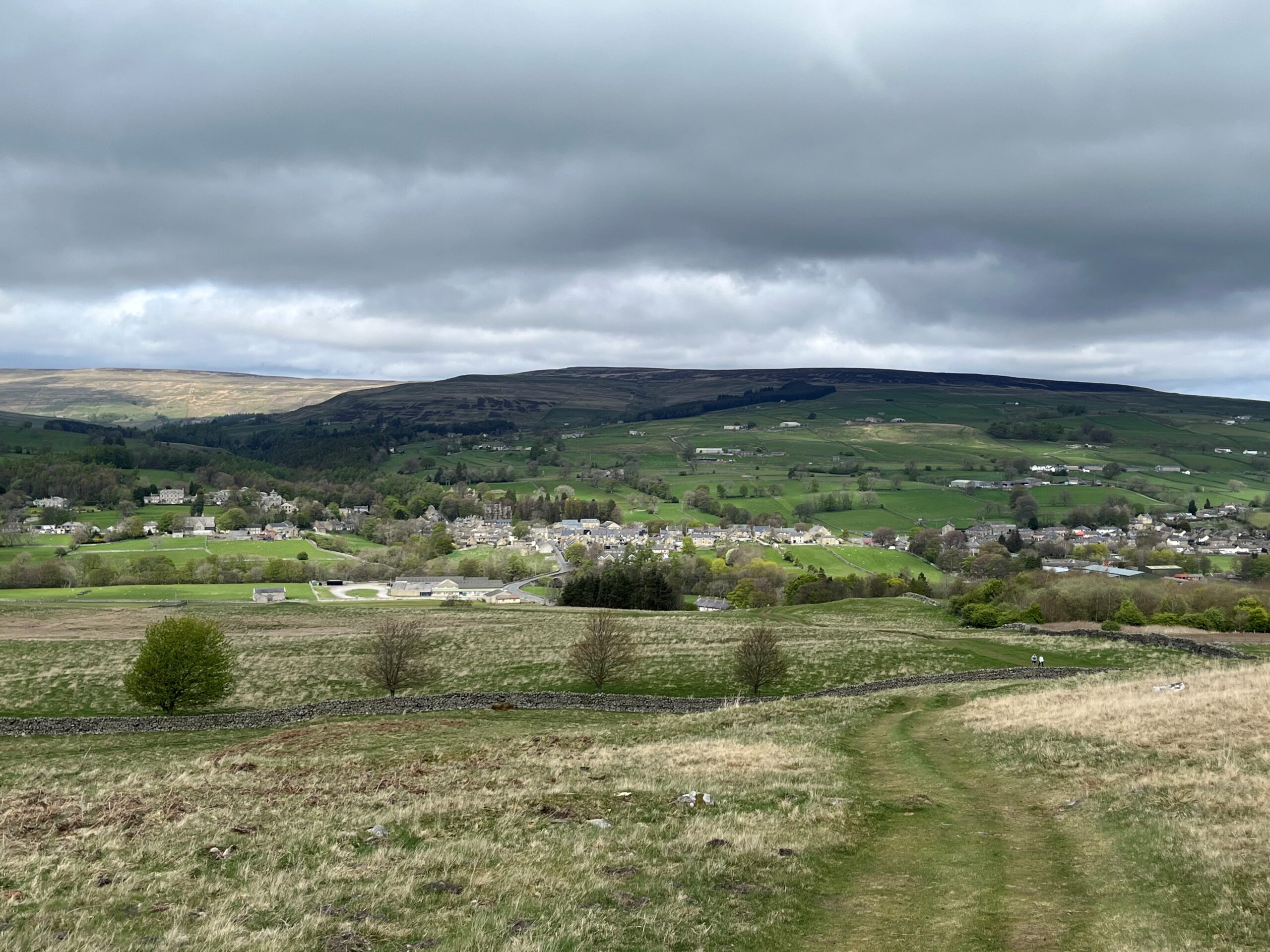
12
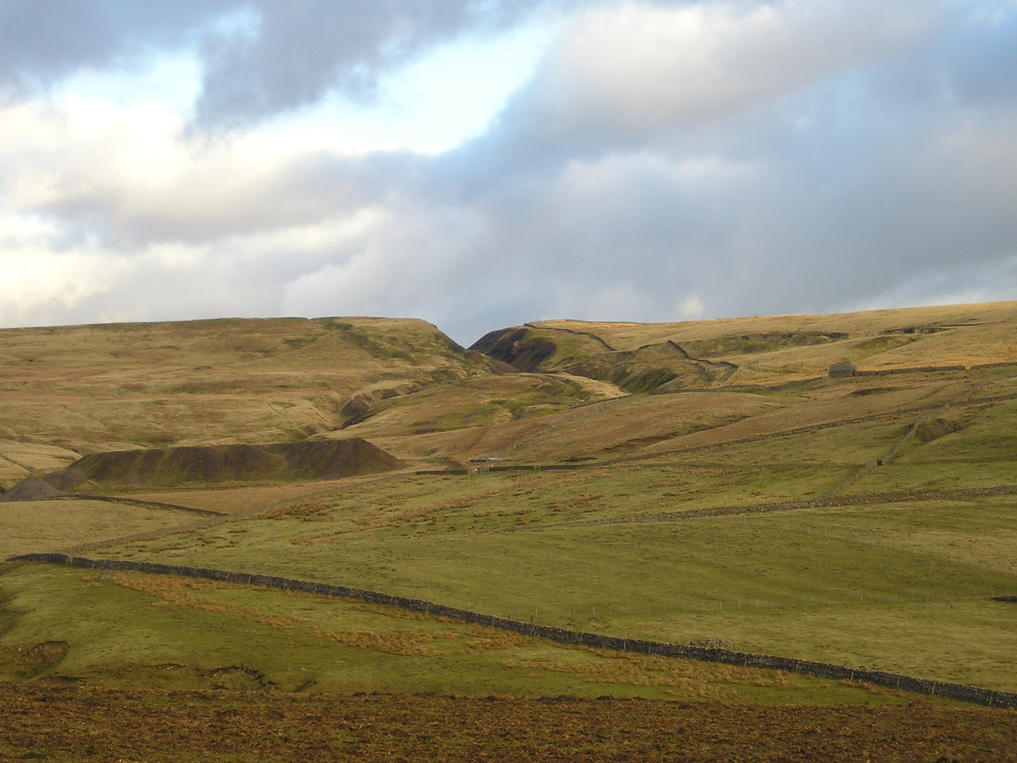
Middleton-in-Teesdale to Tan Hill Inn


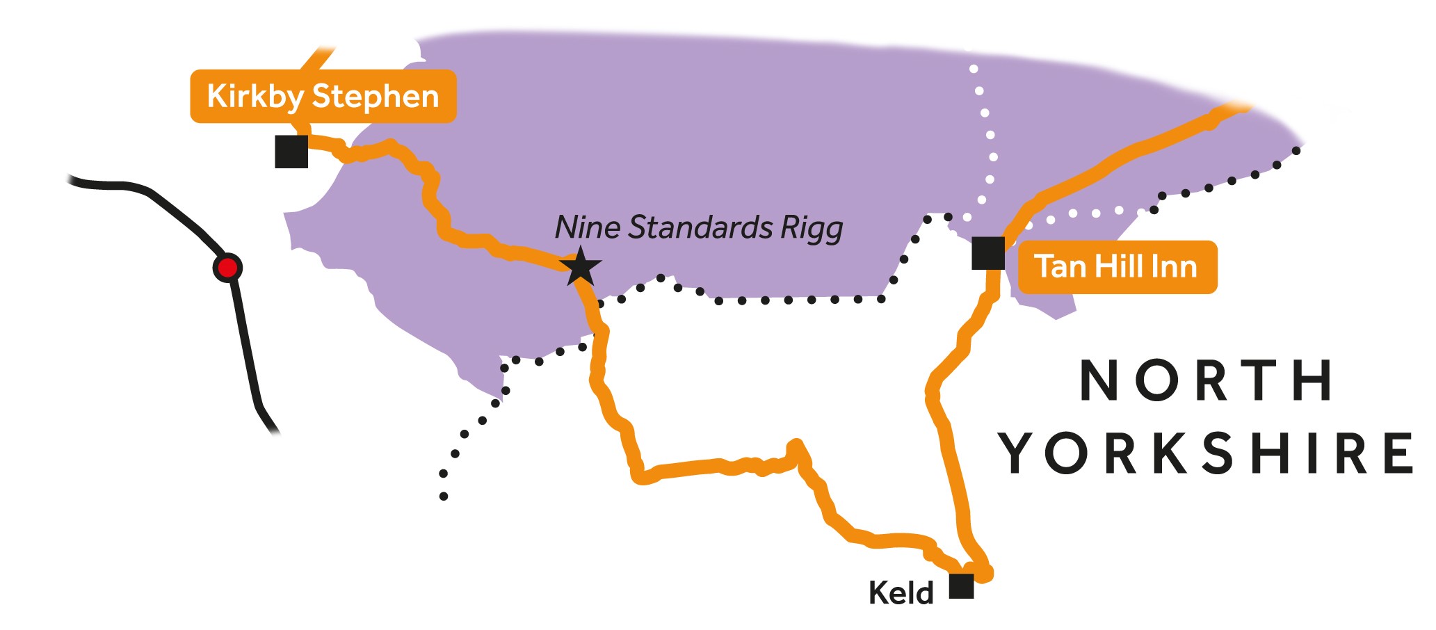
13
Tan Hill Inn to Kirkby Stephen