Our FAQs
Below you will find answers to common questions about the Roof of England Walk.
You can encounter midges in the North Pennines between May and September, and they are at their height between June and August. Midges can be a nuisance, particularly at dusk and dawn, on boggy ground, and on still days. Tips to minimise their impact, include:
- Wear a midge net and cover up, light clothing is best. Make sure that your net has a very small mesh, mosquito nets will not be effective as the mesh will be large enough to let them through.
- Try a midge repellent – Smidge or similar.
- They do not fly when there is a breeze, so embrace the windy days.
There is no reason why you should not complete the Roof of England Walk on your own. Be aware that there may be sections of the trail where mobile phone coverage is patchy or non-existent. Make sure you are a confident navigator and remember it is good practice to let someone know your route and expected time of arrival at your intended destination.
There are three points on the route with easy access from train stations: Appleby-in-Westmorland; Haltwhistle; and Kirkby Stephen. You could also get a train to Hexham and join the walk part way through Leg 5. It is possible to use the heritage Weardale Railway to Wolsingham and Stanhope. Parts of the route are accessible by bus services: Middleton-in-Teesdale; Wolsingham; Stanhope; St. John’s Chapel; Blanchland; Edmundbyers; and Alston. Some services only run on certain days and may also be seasonal. Check the following websites for up to date details and travel advice: • Traveline • Durham County Council • Northumberland County Council • Westmorland & Furness Council
Whilst there will be sections of the route where you are legally able to ride a horse or pedal cycle, the Roof of England route has been developed as a walking trail. The Roof of England Walk is almost entirely on legally designated Public Rights of Way – the exception is two short sections of permissive paths. In England, public rights of way are divided into a number of different types: • Footpaths (shown by a yellow arrow) – for walkers and mobility aid users • Bridleways (blue arrow) – for walkers, mobility aid users, horse-riders and cyclists • Restricted byway (purple arrow) – for walkers, mobility aid users, cyclists, horse-riders and horse-drawn vehicles • Byways open to all traffic – for all types of users, including motorised vehicles The Roof of England Walk follows all of the above types of public rights of way (as well as some sections of public highway) and all users should follow the above rules. See the Countryside Code for more details.
You can take your dog on the Roof of England Walk provided it is kept under effective control and you follow the Countryside Code. Specifically you should keep your dog under effective control to make sure it stays away from wildlife, livestock, horses and other people unless invited. You should:
- always keep your dog on a lead or in sight;
- be confident your dog will return on command; and
- make sure your dog does not stray from the path or area where you have right of access.
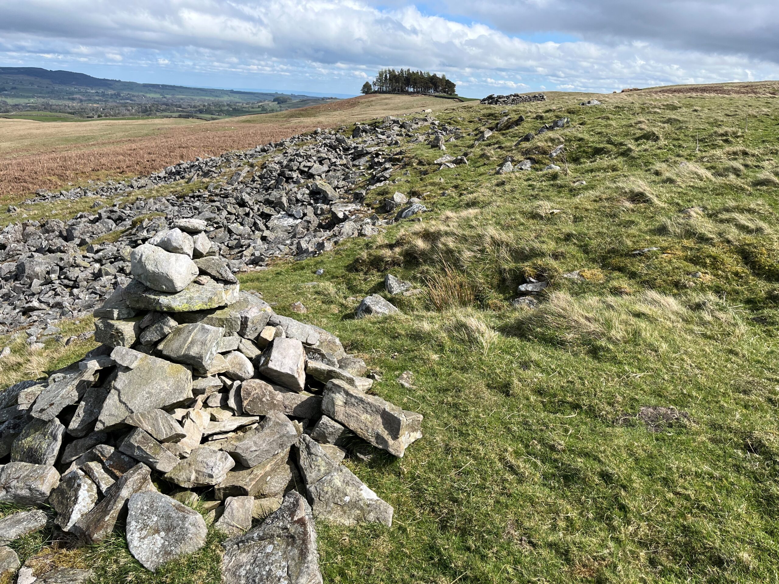
The Roof of England Walk is a grand tour of the North Pennines National Landscape and is a hilly walk. It crosses some high ground and is, in places, quite remote from villages and other habitation. The terrain is very varied with sections of the trail including: wet and boggy moorland paths; stony tracks; pathless sections over rough ground; quiet tarmac country lanes; rocky scrambles and boulder-strewn sections; paths across fields with gates and stiles; steep climbs and undulating sections across rough mountainous terrain; and muddy riverside paths. The longest day is Leg 2 – Dufton to Alston – a distance of 31.1km (19.3 miles) with 1,030m (3,333 feet) of ascent. It is a tough day over rough boggy mountain tops and steep climbs. It crosses some high ground which is quite featureless, and quite challenging to navigate across if the mist is down. Not all the days are as difficult as this, but it gives a flavour of the route.
The route is 301km (188 miles) long. Over the whole route there is a total of 6,876m (22,513 feet) of climbing. It is split into 14 legs (or days) of walking. The longest day is 31.1km (19.3 miles) and the shortest is 8.5km (5.3 miles) – an average of 21.5km (13.4 miles) per day. The walk is described as 14 day walks. You could walk the route in two weeks but you can take as long as you want or break the walk into short breaks. For example: Four short breaks of three to four days each: • Middleton-in-Teesdale to Appleby-in-Westmorland – three days (legs 12, 13 and 14) • Appleby to Haltwhistle – three days (legs 1, 2 and 3) • Haltwhistle to Wolsingham – three or four days (legs 4, 5, 6 and 7. Leg 6 at 8.5km is quite short and could be combined with Leg 7) • Wolsingham to Middleton-in-Teesdale – four days (legs 8, 9, 10 and 11) Or Tackle each leg individually and do the route over whatever period of time you like. Please note, that for most legs you would need picking up by a support car at the end of your day of walking.
Most of the Roof of England Walk follows public rights of way. There are two exceptions – on Leg 3, through the National Trust’s North Wood; and on Leg 7, near Baal Hill. In places the Roof of England Walk shares the route of the following trails, and it is not dual waymarked so use the waymarks for the relevant trail: Wainwright’s Pennine Journey; Pennine Way National Trail; Wainwright’s Coast to Coast; River Tyne Trail; Way of Light Northern Saints Trail; Isaac’s Tea Trail; and the Weardale Way. Where the Roof of England Walk route doesn’t coincide with a recognised existing trail, it is waymarked using Roof of England waymarks – purple discs with the white outline of a lapwing in the middle. There are downloadable pdf files of turn-by-turn directions and OS map extracts on each of the 14 leg pages. These pdfs include mention of when to follow the waymarks of other promoted routes and when to look out for Roof of England Walk waymarks. In some cases, it has not been possible to obtain landowner permission to place Roof of England Walk waymarks on short sections of the route.
Please behave responsibly when visiting the countryside in the North Pennines National Landscape. We all have a responsibility to protect the environment for current and future generations of visitors and residents. Following the Countryside Code helps everyone to look after nature, habitats and the farmed landscape. It helps to minimise the risk of damage, keeps livestock safe, reduces conflicts and maintains access for everyone. The Countryside Code Respect everyone • Be considerate to those living in, working in and enjoying the countryside • Leave gates and property as you find them • Do not block access to gateways or driveways when parking • Be nice, say hello, share the space • Follow local signs and keep to marked paths unless wider access is available Protect the environment • Take your litter home – leave no trace of your visit • Always keep dogs under control and in sight – on a lead or in sight, be confident your dog will return on command, make sure your dog does not stray from the path or area where you have right of access • Do not light fires and only have BBQs where signs say you can • Always keep dogs under control and in sight • Dog poo – bag and bin it in any public waste bin or take it home • Care for nature – do not cause damage or disturbance Enjoy the outdoors • Check your route and local conditions • Plan your adventure – know what to expect and what you can do • Enjoy your visit, have fun, make a memory Discover the full Countryside Code here.
The adder is Britain’s only venomous snake. It is rare for an adder to bite a person. They are shy creatures and generally want to be left alone. Most bites happen when people accidentally step on them or try to pick them up. An estimated 50-100 bites are reported in Britain each year, but only 14 people have died from an adder bite since 1876 (the last recorded fatality was in 1975). This means that between 0.01% and 0.2% of all bites have been fatal in the last 148 years. The best way to safeguard your dog from being bitten is to keep it on a lead. If you or your dog are bitten, seek medical/veterinary attention immediately. NHS advice on snake bites is available here. Information and advice about adders is available from the North Pennines National Landscape here and from Amphibian Reptile Conservation Trust here.
It is advisable to book your accommodation in advance at any time of year – as some areas have limited availability. In the Appleby-in-Westmorland area (start of Leg 1, end of Leg 14), walkers need to be mindful of the Appleby Horse Fair, an annual event in the town. It is a traditional gathering of Romani and Traveller people, and a major event for horse trading and showing. The fair is typically held in early June, from a Thursday to the following Wednesday, with the main days being Friday, Saturday, and Sunday. Accommodation in, and near to Appleby, will be hard to come by during the fair dates.
Ticks are small spider-like creatures which feed on the blood of birds and mammals, including people. They are found in most parts of the UK, but are particularly found in rough vegetation, woodland, areas of bracken and long grass. It is possible that you will encounter ticks in the North Pennines. A tick bite is, in itself, relatively harmless, although they are capable of transmitting diseases, for instance Lyme disease. There are several things you can do to reduce the risk of being bitten by a tick: • Cover your arms and legs • Wear light coloured clothing – making ticks more visible • Check regularly and remove using a special tick-removal tool NHS advice on ticks, tick removal and Lyme disease is available here.
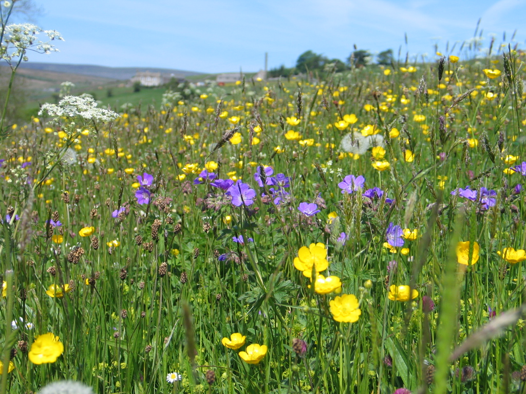
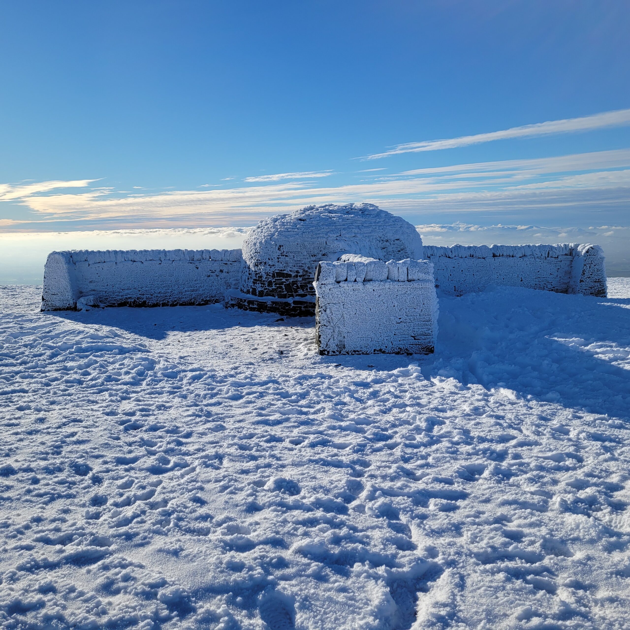
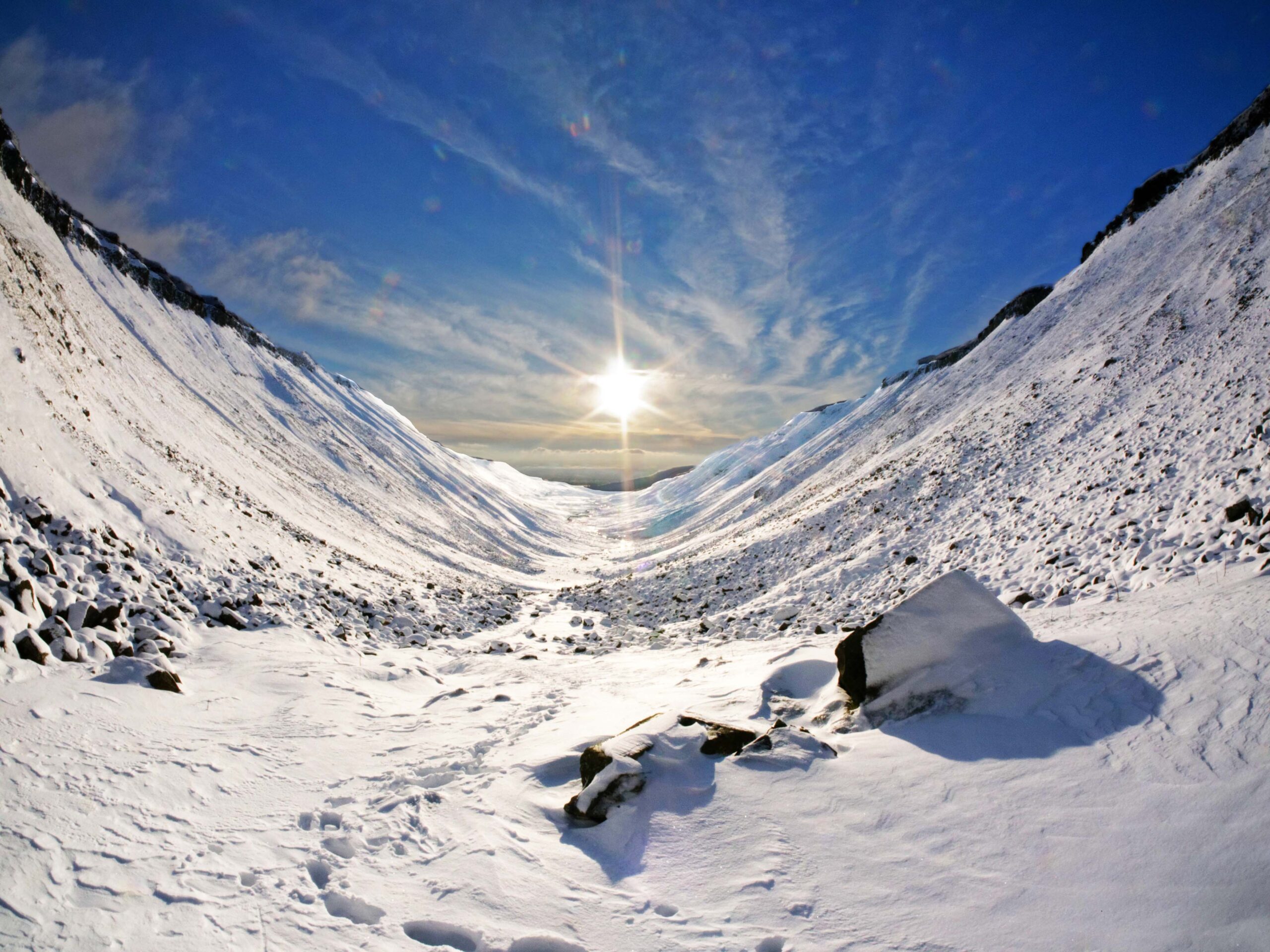
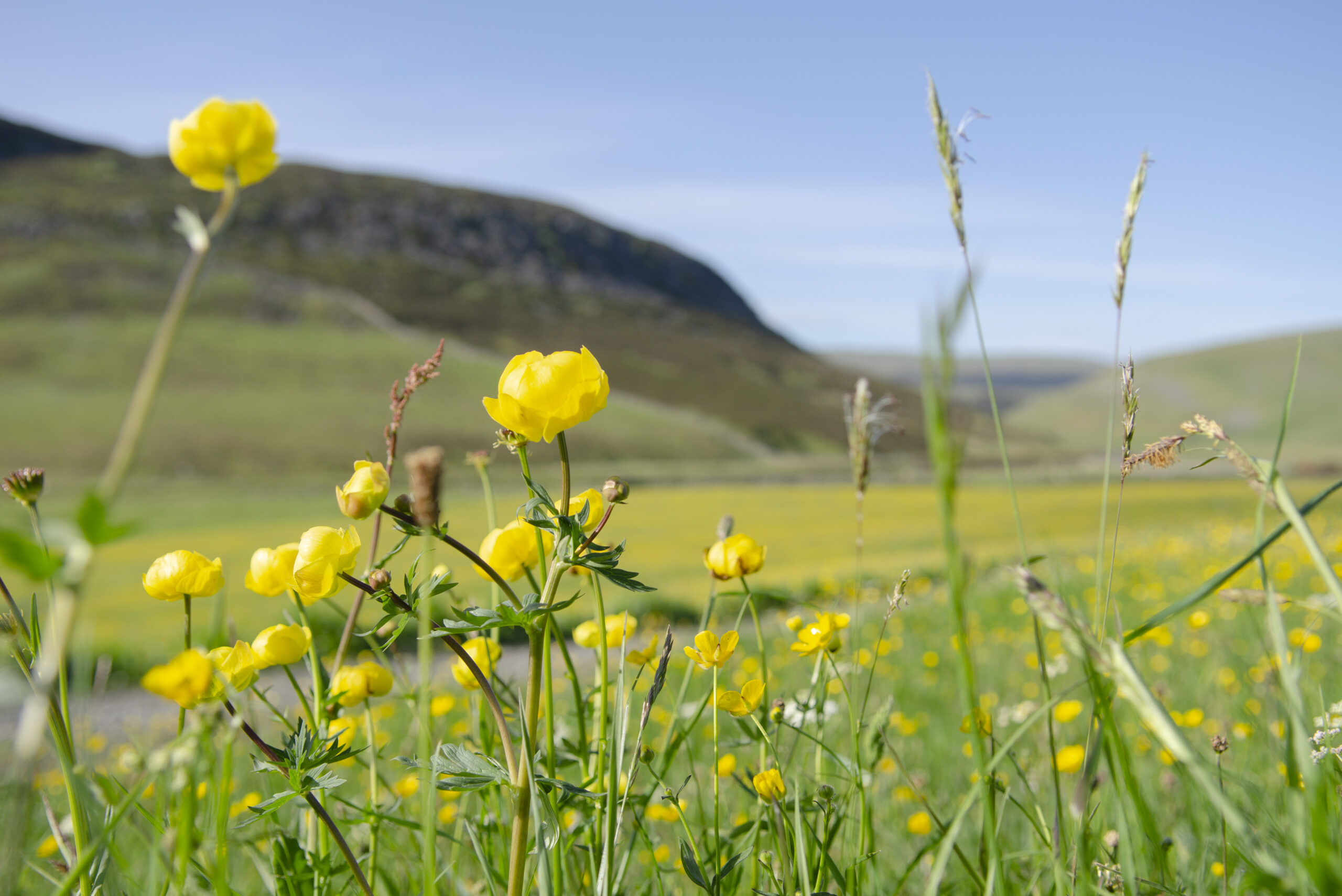
Generally, the best time of year to do the Roof of England Walk would be spring and early summer (March through to June/early July). This is the time of year when you are most likely to get favourable weather, although remember that wintry weather is still possible in March and April. In March breeding wading birds (e.g. lapwing, curlew, redshank, snipe, golden plover) return and the moors and moorland fringe grasslands come alive again. By mid-July most of the wading birds will have returned to the coast. The area’s colourful hay meadows reach their peak in late June/early July, making the stretches of the Roof of England Walk in Teesdale, Weardale, the South Tyne and the East Allen Valley particularly glorious. In later summer (August), the moors are colourful with heather and bell heather blooming. Autumn (September, October and early November) is a special time in the North Pennines with autumn colours showing in the trees, especially glorious in Allen Banks, and the mellow colours of bracken softening the moors. Only the most hardy would tackle the route in the winter (late November, December, January and February) when the weather is the most challenging. You should be fully prepared, properly equipped, and good at navigating to tackle the route at this time of year. Those who do the walk at this time of year will be rewarded with sparkling skies. As temperatures fall, the sky is at its most transparent. You can see glittering star clusters and constellations like Orion, along with bright nebula. Please note: if you are tackling the route in the winter, many accommodation and services (e.g. cafes) are likely to be either closed or on short hours, so careful planning will be crucial.
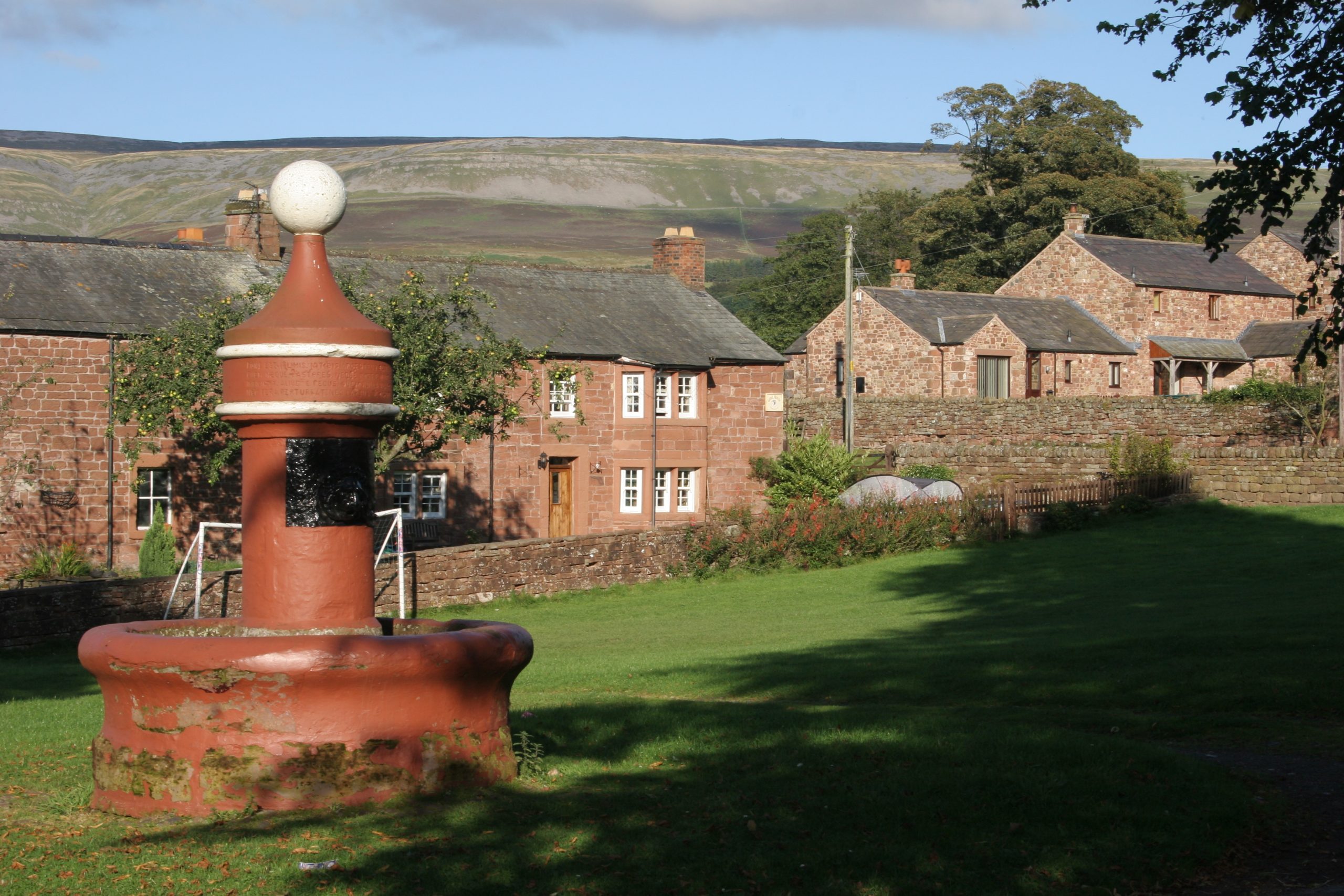
The Roof of England Walk is described in a clockwise direction, starting and finishing in Appleby-in-Westmorland in Cumbria. The choice of where to start/finish has been influenced by the location of accommodation and services. The route is circular and can be started anywhere and walked in either direction. The main settlements on the route are Appleby-in-Westmorland, Dufton, Alston, Haltwhistle, Allendale, Blanchland, Edmundbyers, Wolsingham, Stanhope, St. John’s Chapel, Middleton-in-Teesdale, and Kirkby Stephen.