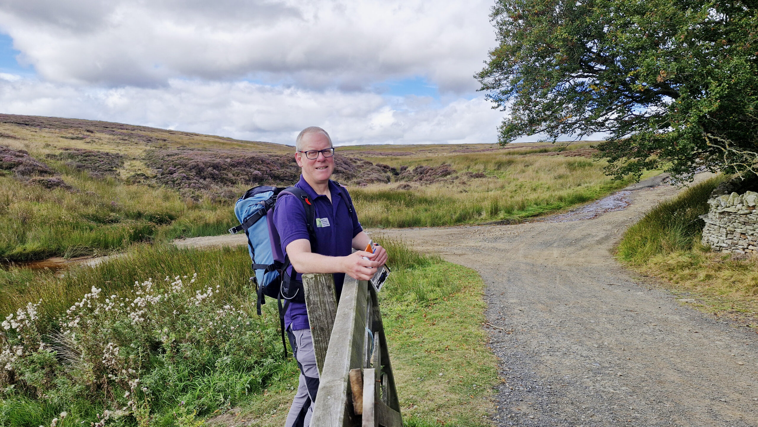
Leg Single Trail
Featured points of interest
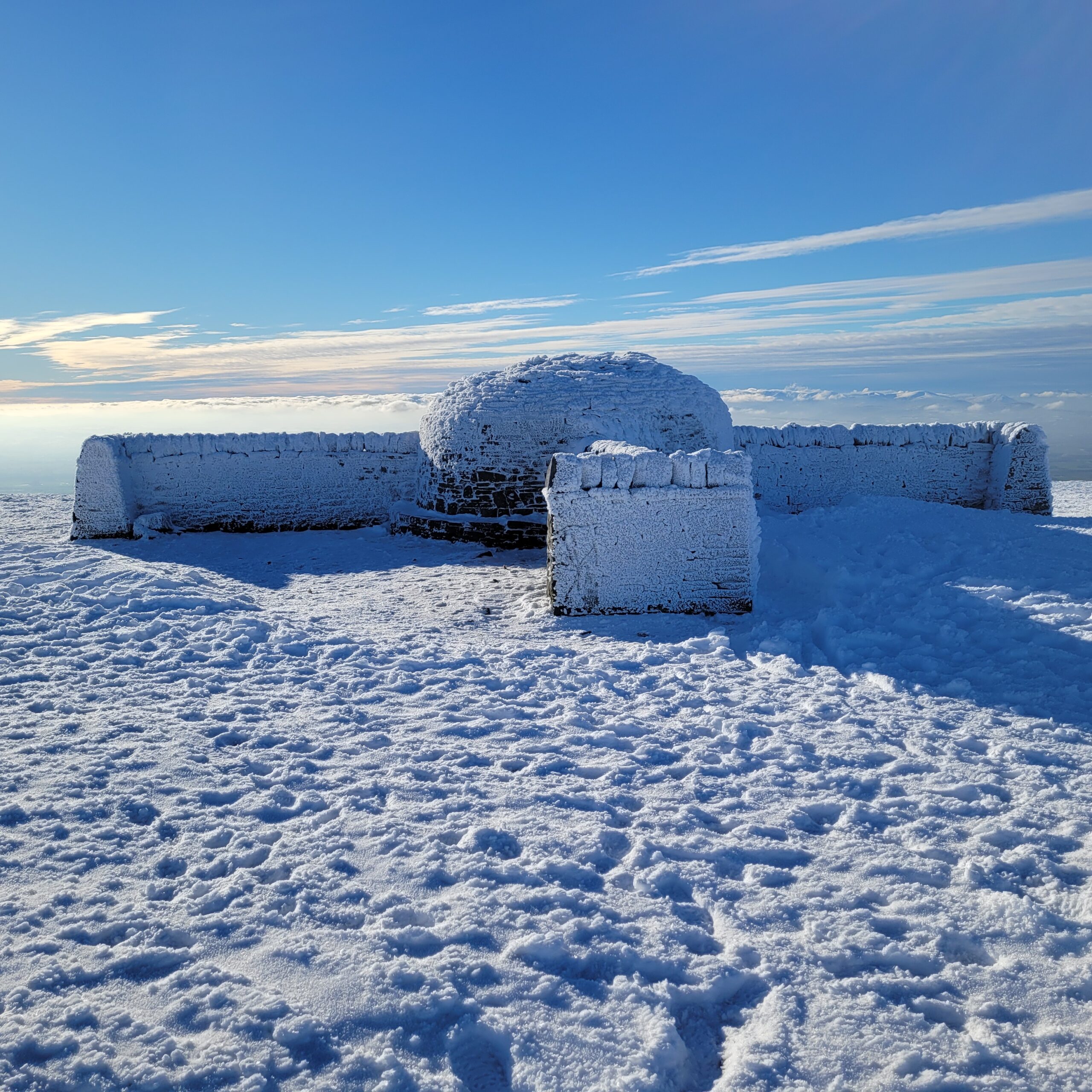
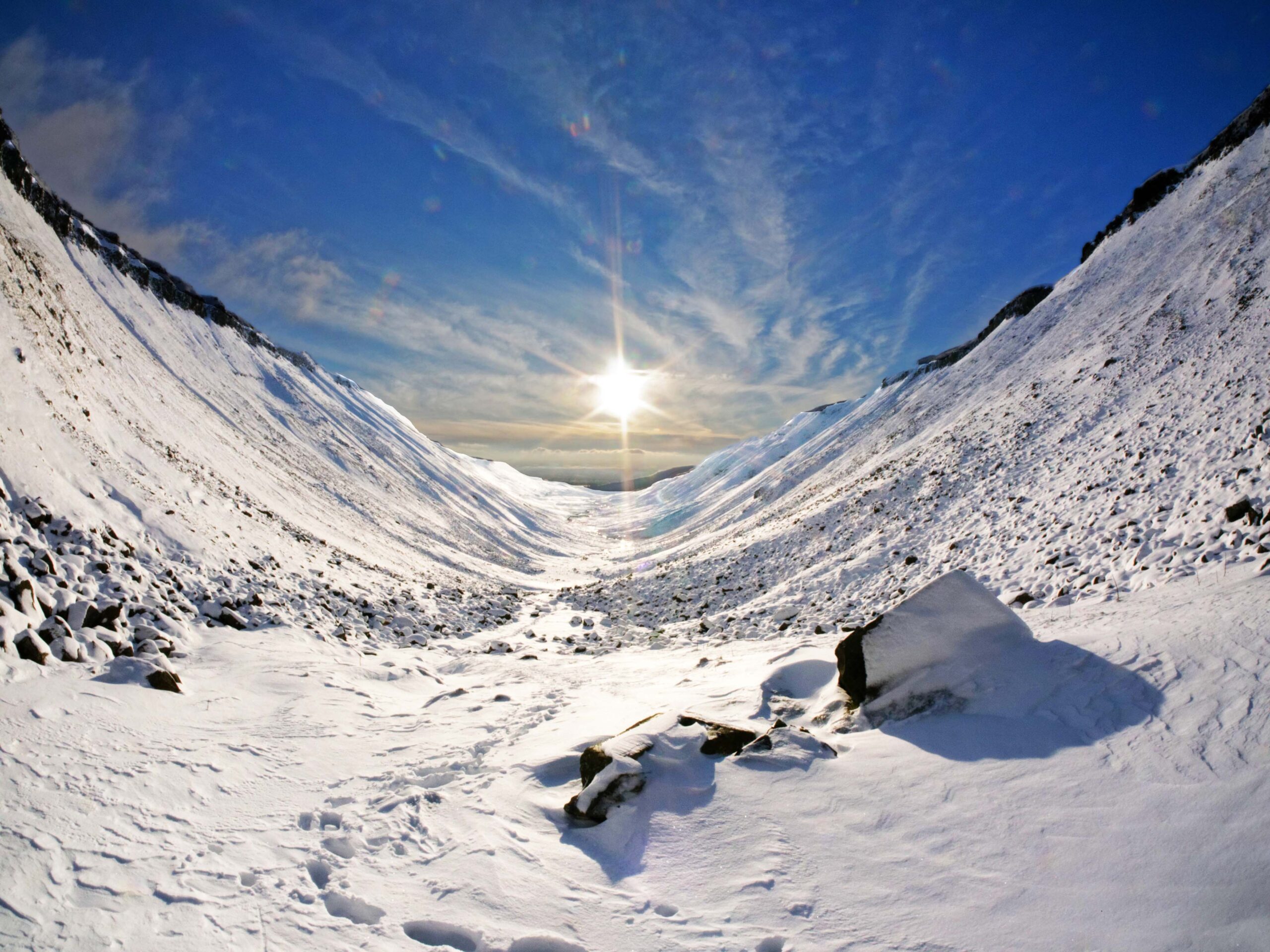
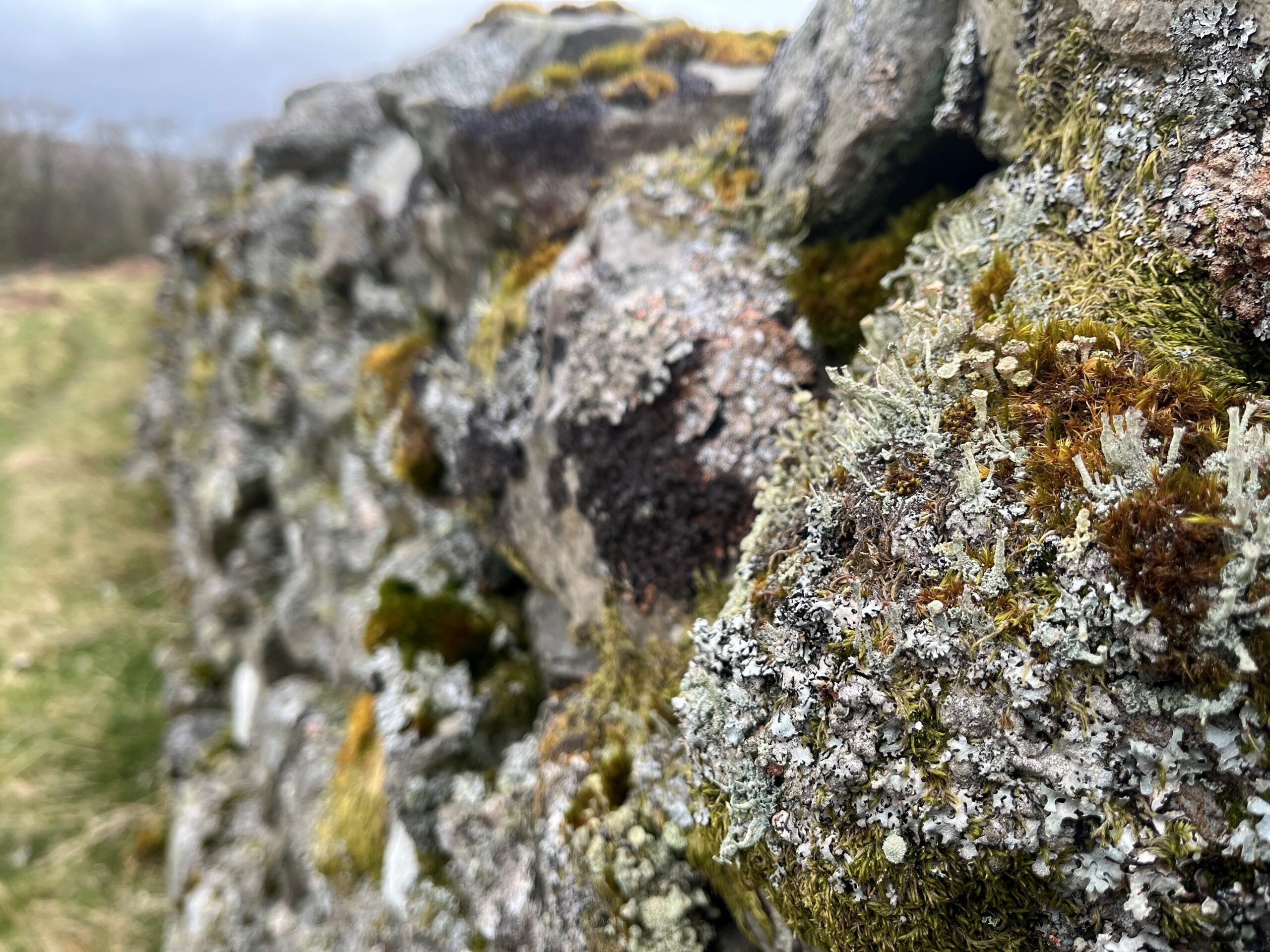
Nine Standards
Tan Hill Inn to Kirkby Stephen
The Nine Standards have stood here, on the historic boundary between Westmorland and the North Riding of Yorkshire, for more than 500 years. It’s quite a spot – with far-reaching views north to Cross Fell, Great and Little Dun Fell and across the Eden Valley to the flat-topped Wild Boar Fell. On a clear day it is a place to pause and consider how far you’ve come on the Roof of England Walk.
Low Birk Hatt
Middleton-in-Teesdale to Tan Hill Inn
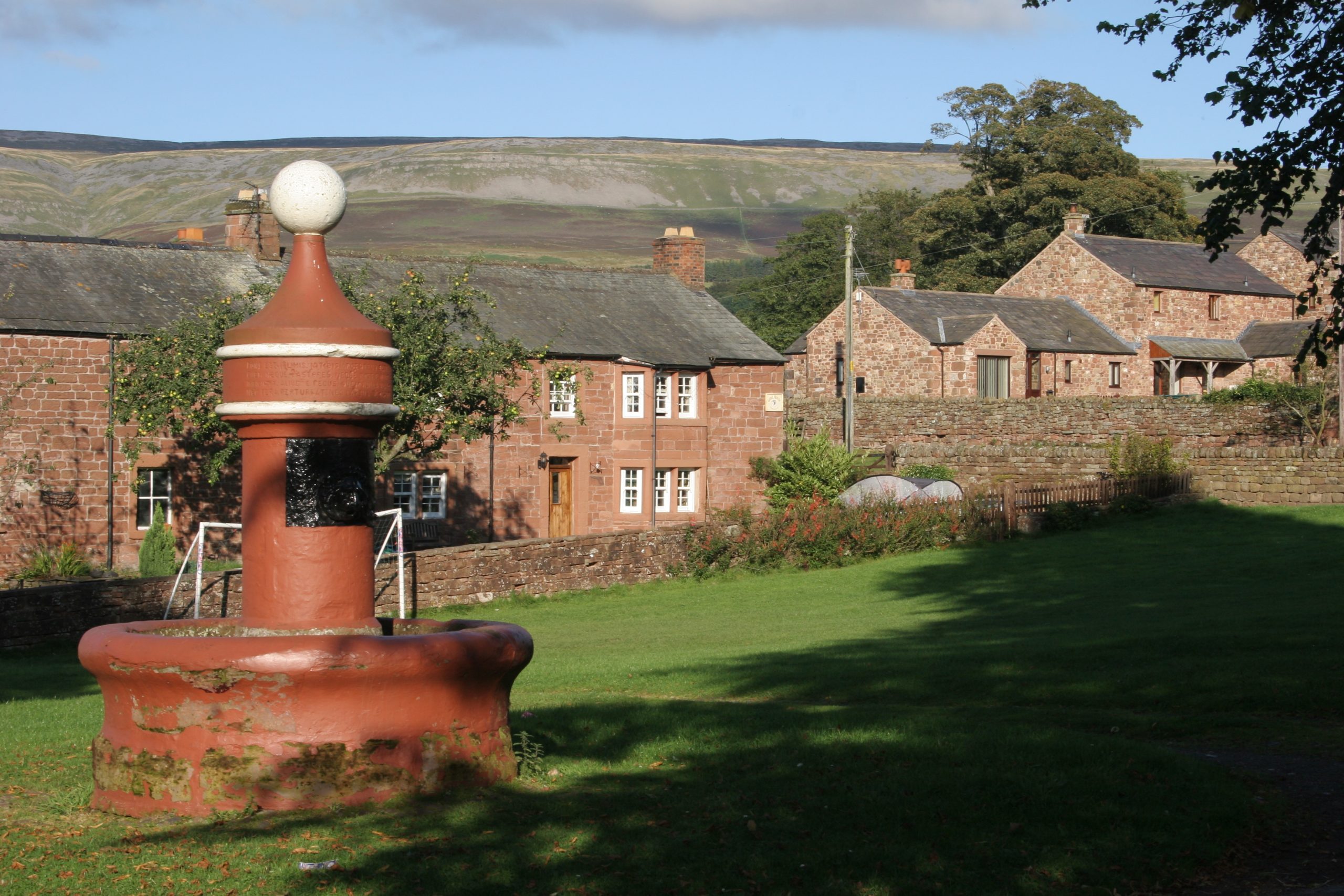
The original owner of the hay meadow you’ve just walked through, Hannah Hauxwell, lived alone at this farmhouse without the luxury of electricity and running water. She found fame in a 1973 ITV documentary ‘Too Long A Winter’. When she retired in 1988, her smallholding became a nature reserve. The house is private, please don’t try and visit.
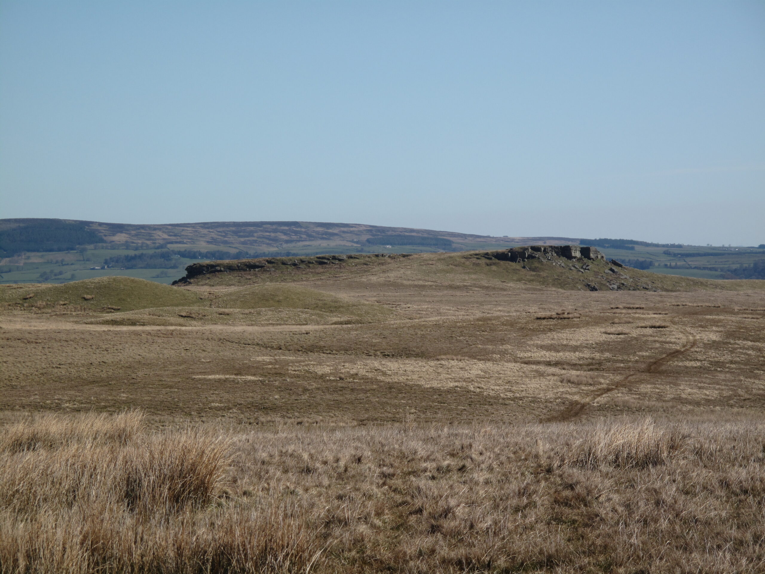
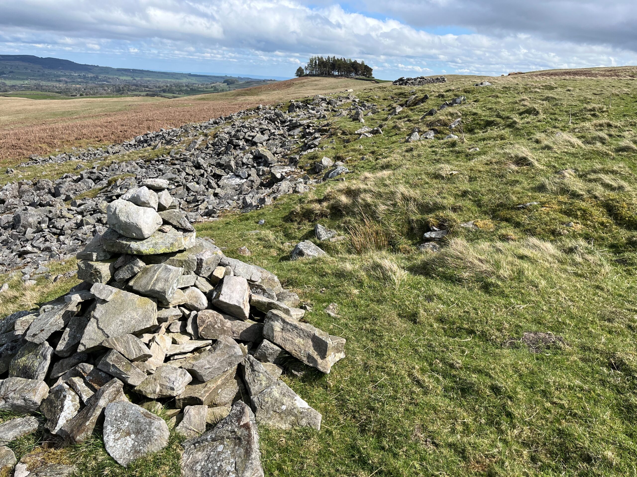
Goldsborough
Middleton-in-Teesdale to Tan Hill Inn
If you glance to your left (northeast) you will spot the prominent crags of Goldsborough, about a mile away. This flat-topped hill is made up of gritty sandstones. These hard rocks formed in vast, ancient deltas some 300 million years ago. To you right is its ‘sister’ Shacklesborough – but this hill is 3km distant so harder to spot.
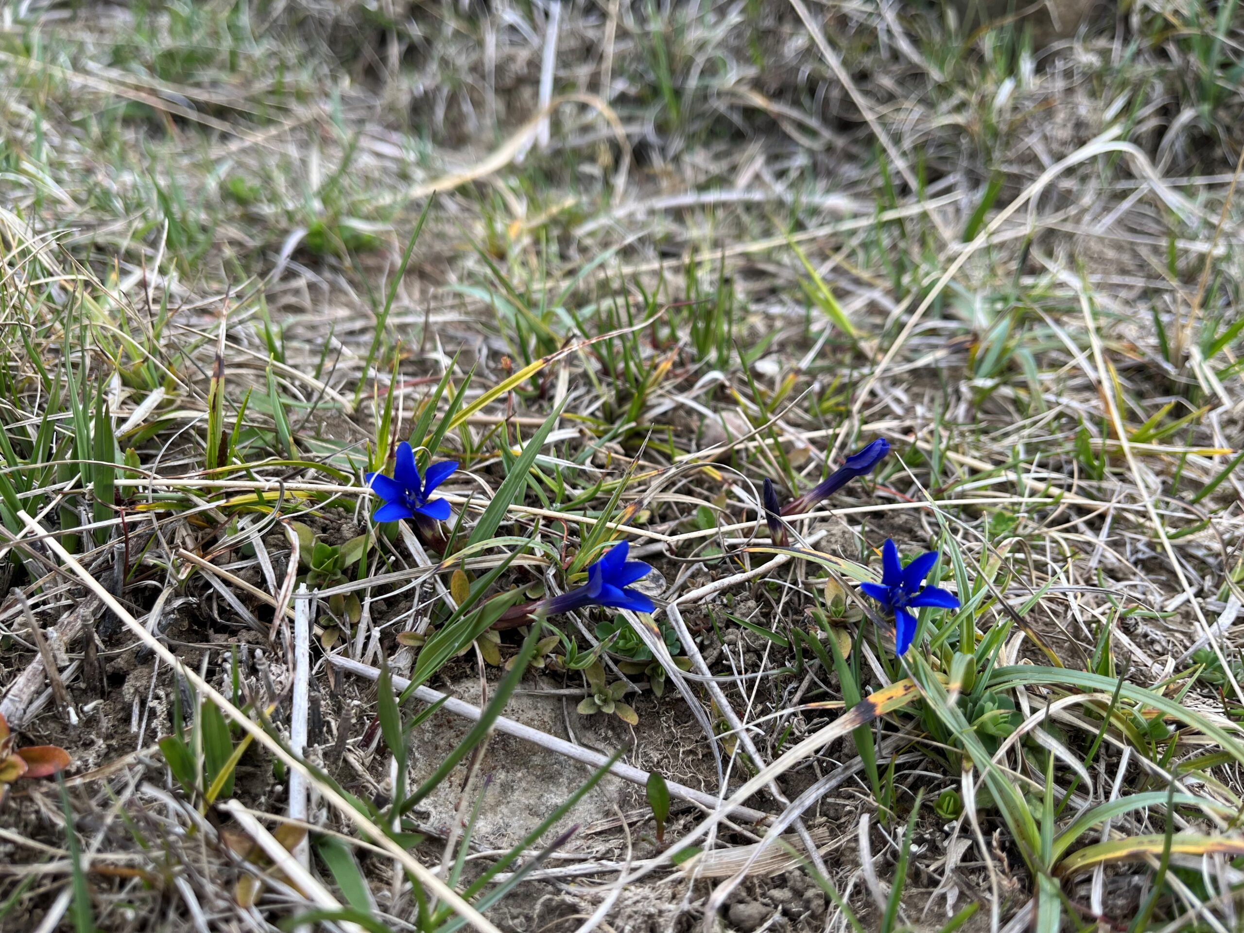
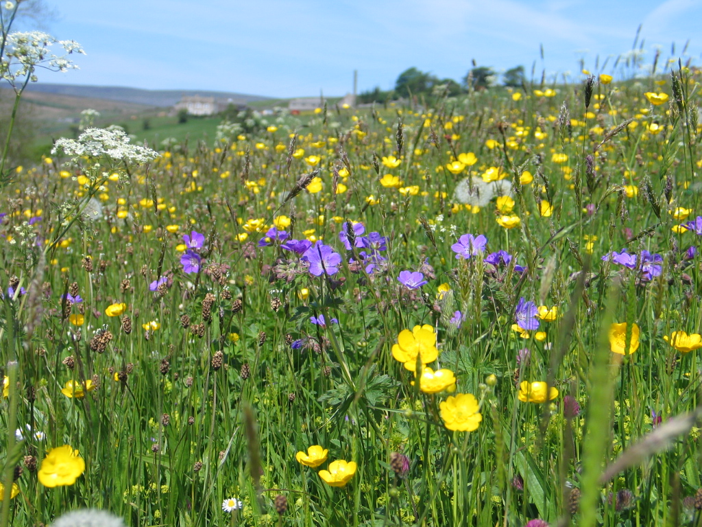
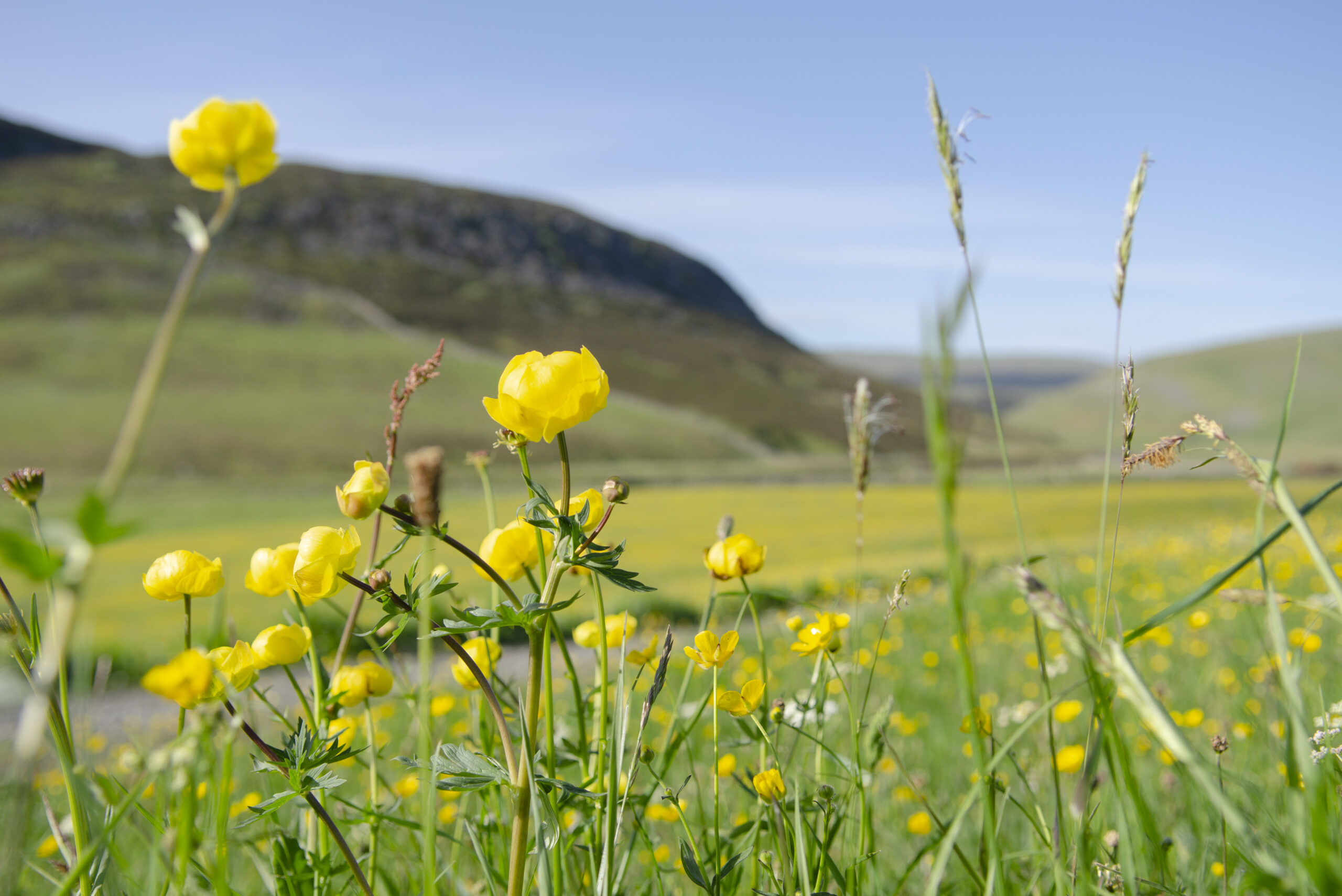
Spring gentians
Saur Hill Bridge to Middleton-in-Teesdale
Between April and early June you might see these small (15-30mm across), deep-blue flowers on this bank beside the Harwood Beck. Best seen on warm, bright days, look out for a delicate plant with a solitary, intense-blue flower, like a tiny, five-pointed star. It is a striking symbol of Teesdale and is rare in the British Isles, found only in western Ireland and in Upper Teesdale.
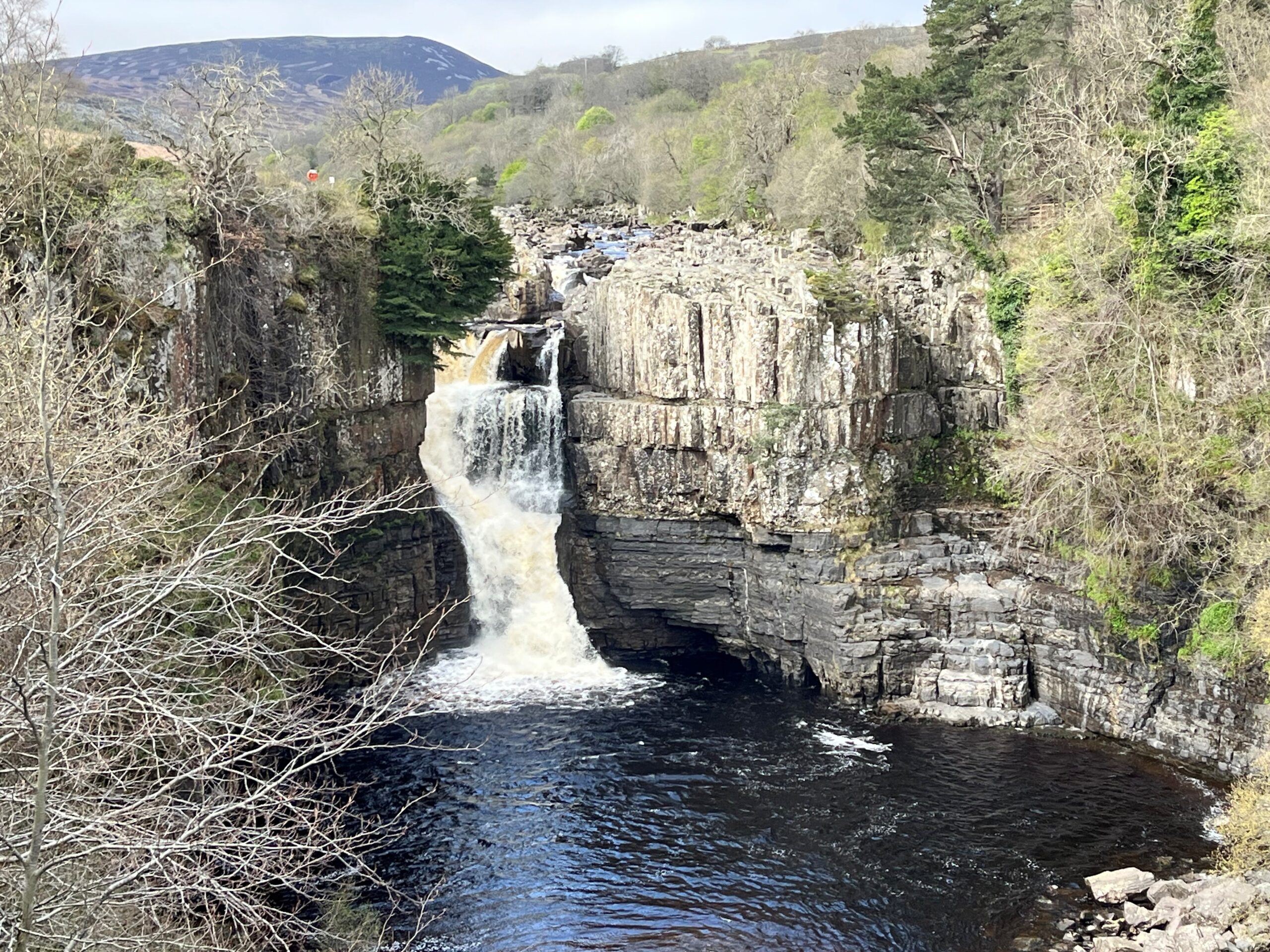
High Force viewpoint
Saur Hill Bridge to Middleton-in-Teesdale
High Force plunges over the Whin Sill – a hard dolerite rock. Below the Whin Sill you can see layers of sandstone and limestone, part of the sequence of rocks that make up most of the North Pennine landscape. ‘Force’ comes from ‘foss’, the Old Norse word for waterfall.
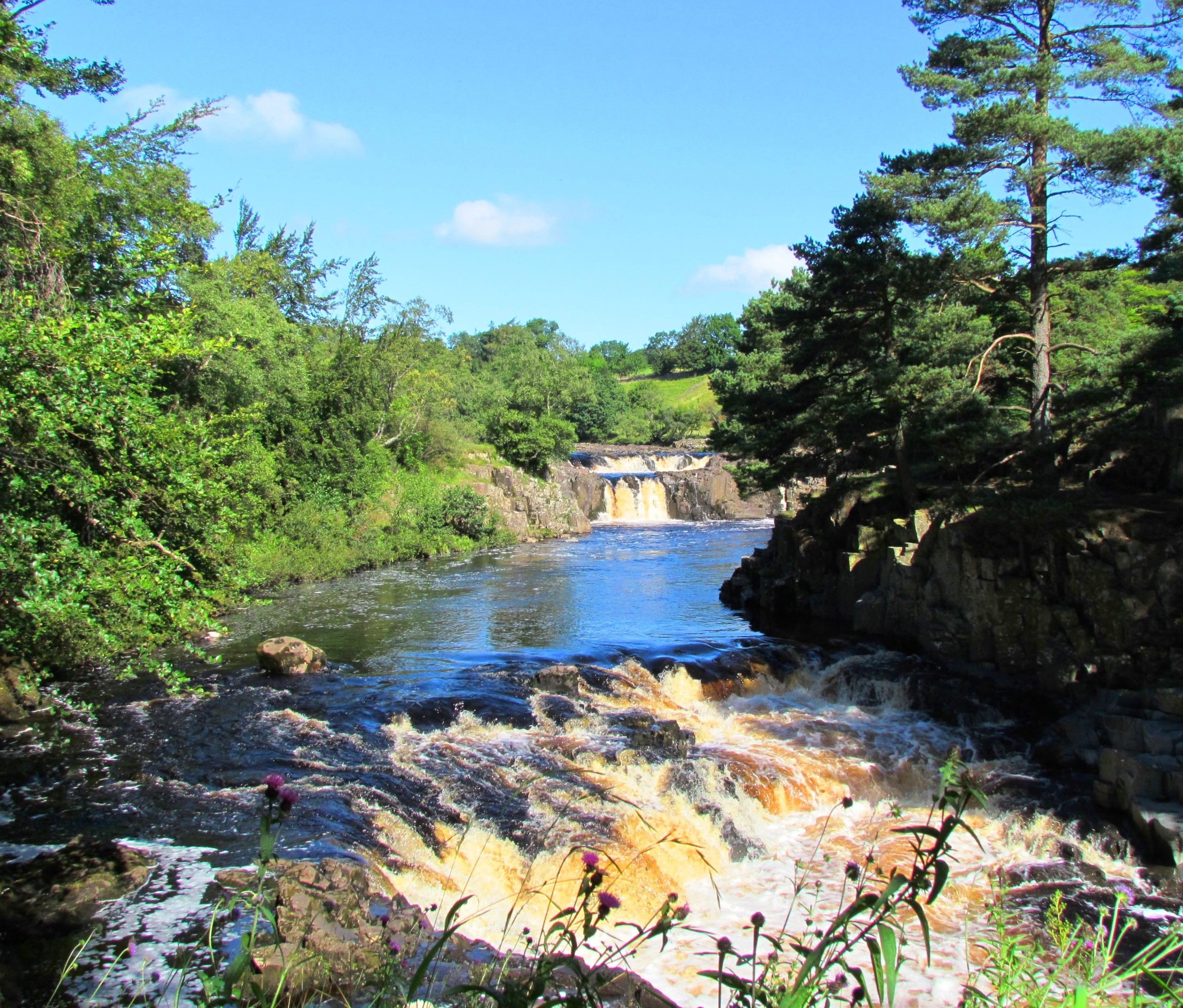
Low Force
Saur Hill Bridge to Middleton-in-Teesdale
Low Force tumbles over the Whin Sill, a layer of hard rock called dolerite, known locally as whinstone. The Whin Sill formed 295 million years ago, when molten rock rose up from within the Earth and spread out between layers of limestone, sandstone and shale. The molten rock cooled and hardened underground. Millions of years of erosion have exposed the Whin Sill at the surface here at Low Force.
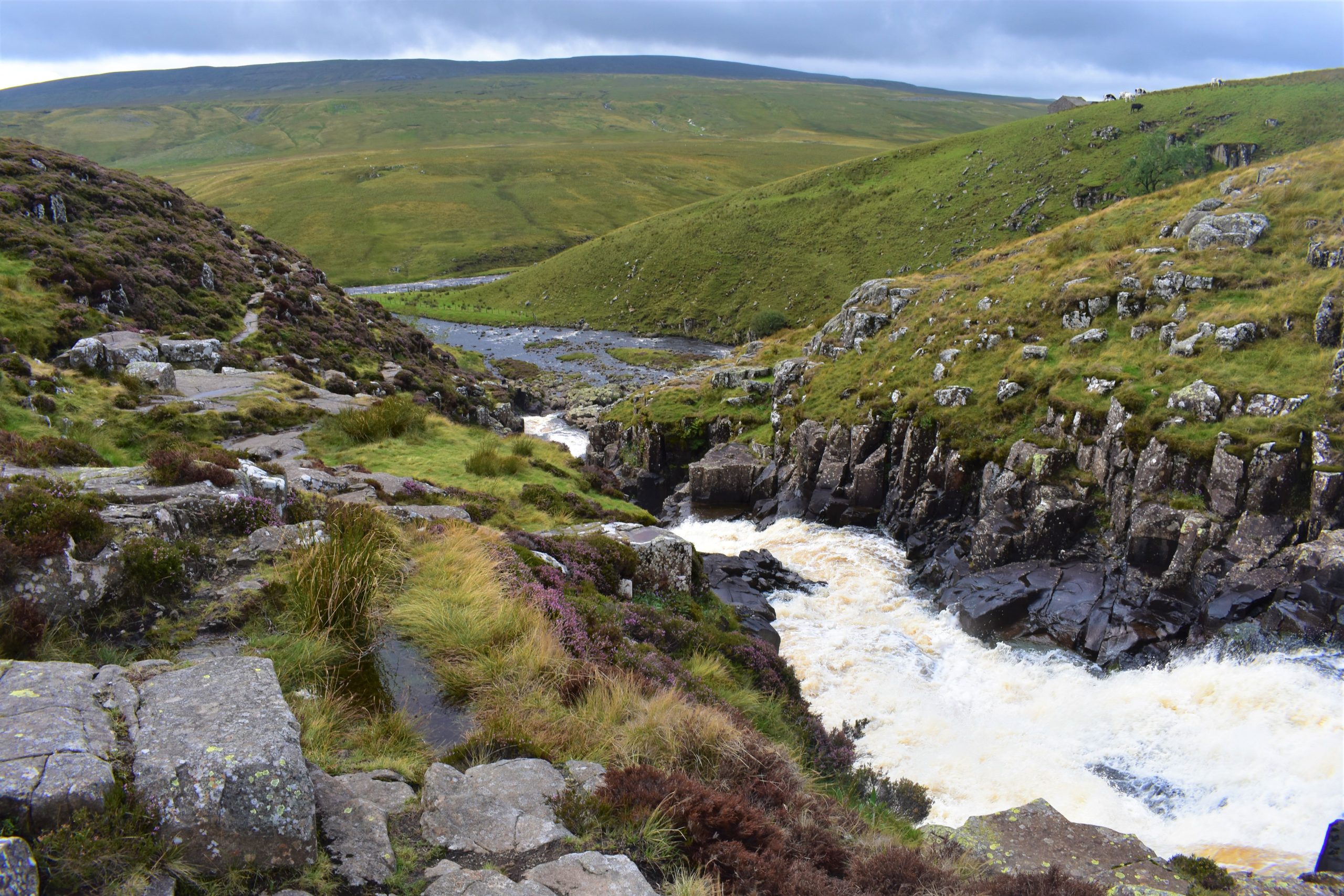
Top of Cauldron Snout
St. John’s Chapel to Saur Hill Bridge
The waterfall at Cauldron Snout is formed as the River Tees flows across a very hard outcrop of the Whin Sill dolerite. Notice the vertical cracks in the rock which are known as columnar joints. They formed as the magma contracted during the final stages of cooling. This is similar to the formation of the famous columns at the Giant’s Causeway in Northern Ireland and Fingal’s Cave in Scotland.
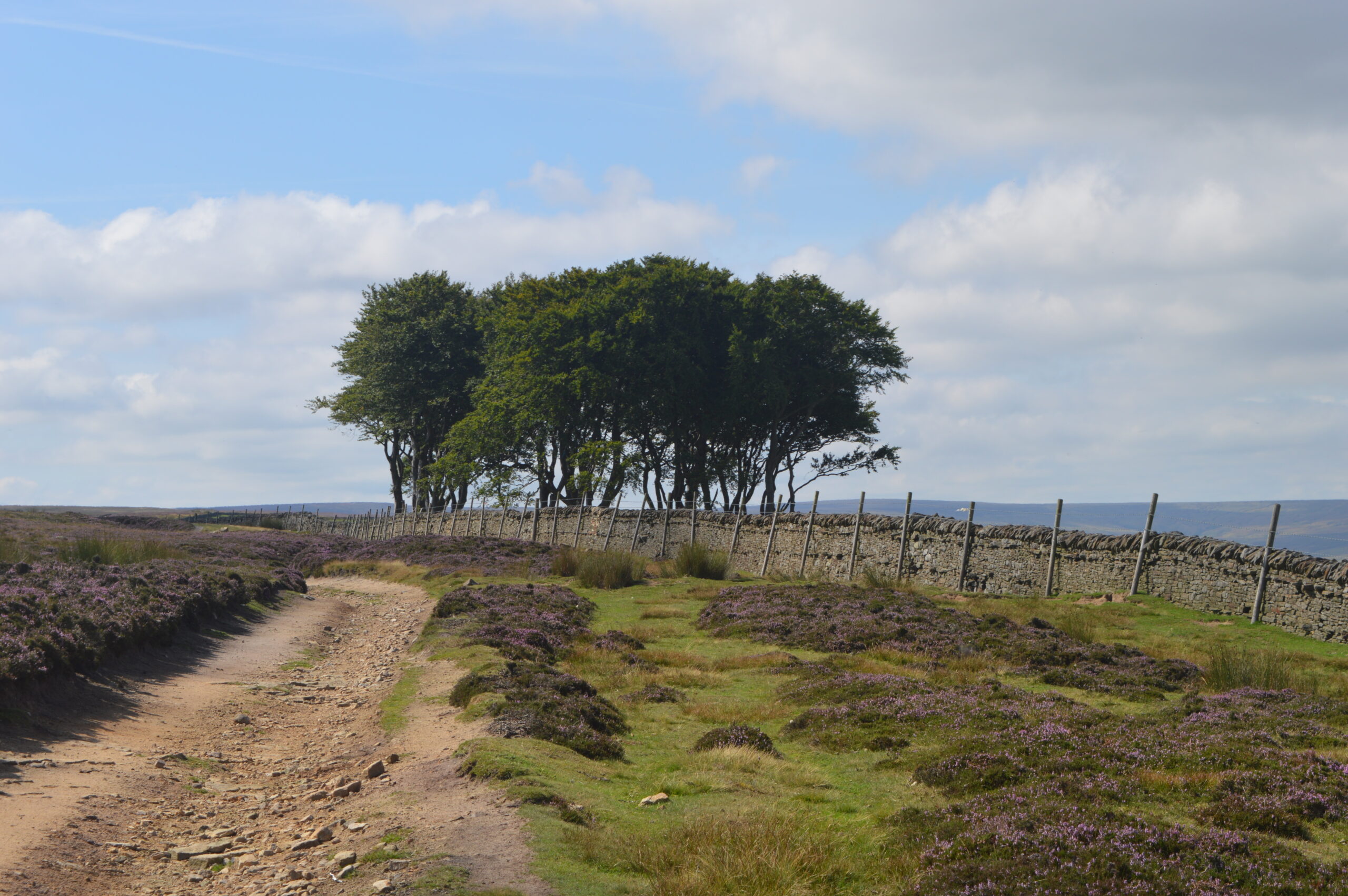
The Elephant Trees
The route turns right downhill just before you reach the small clump of trees, known locally as the Elephant Trees. You will have seen this prominent feature on the skyline yesterday on leg 7 as you approached Baal Hill House in the Tunstall Valley.
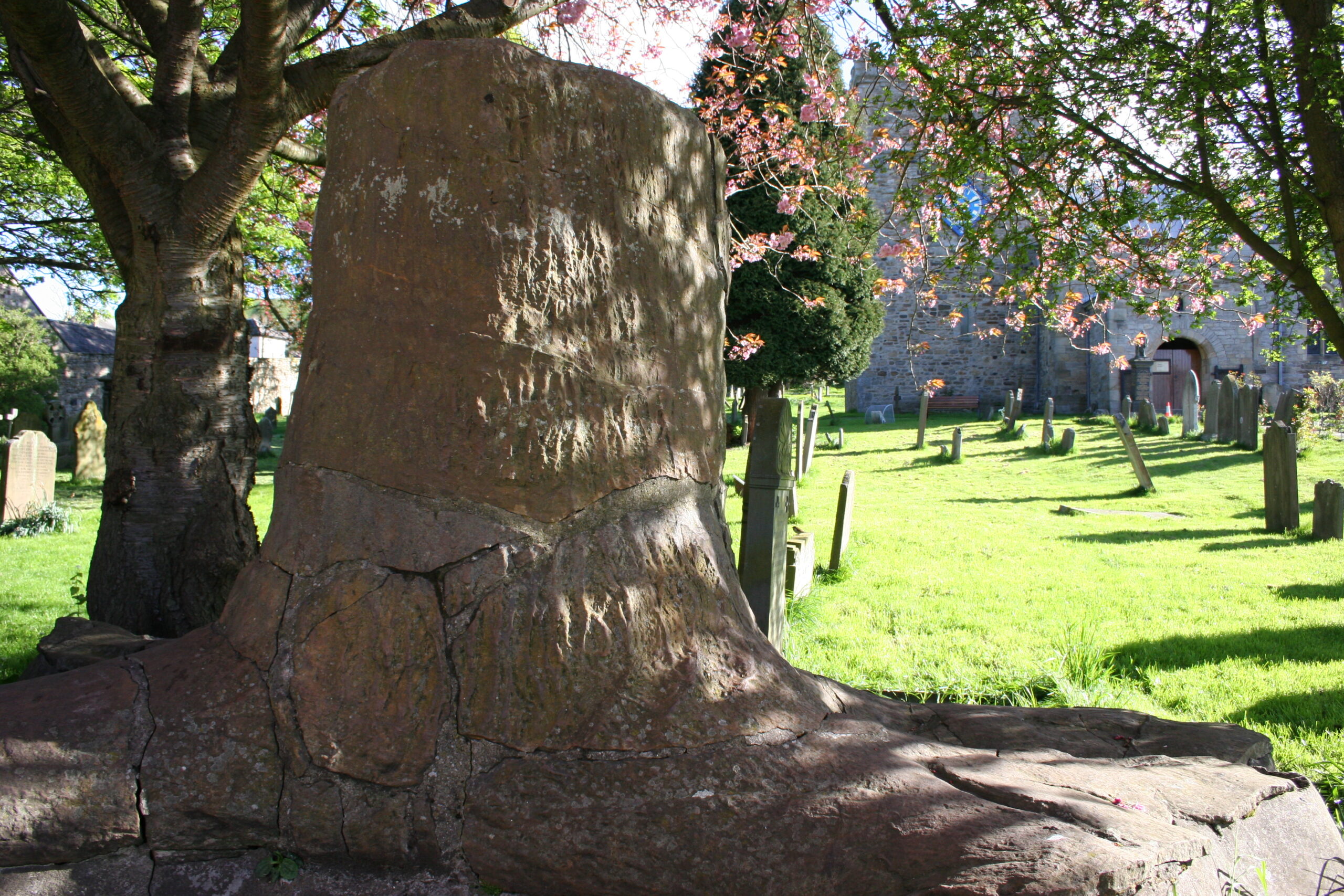
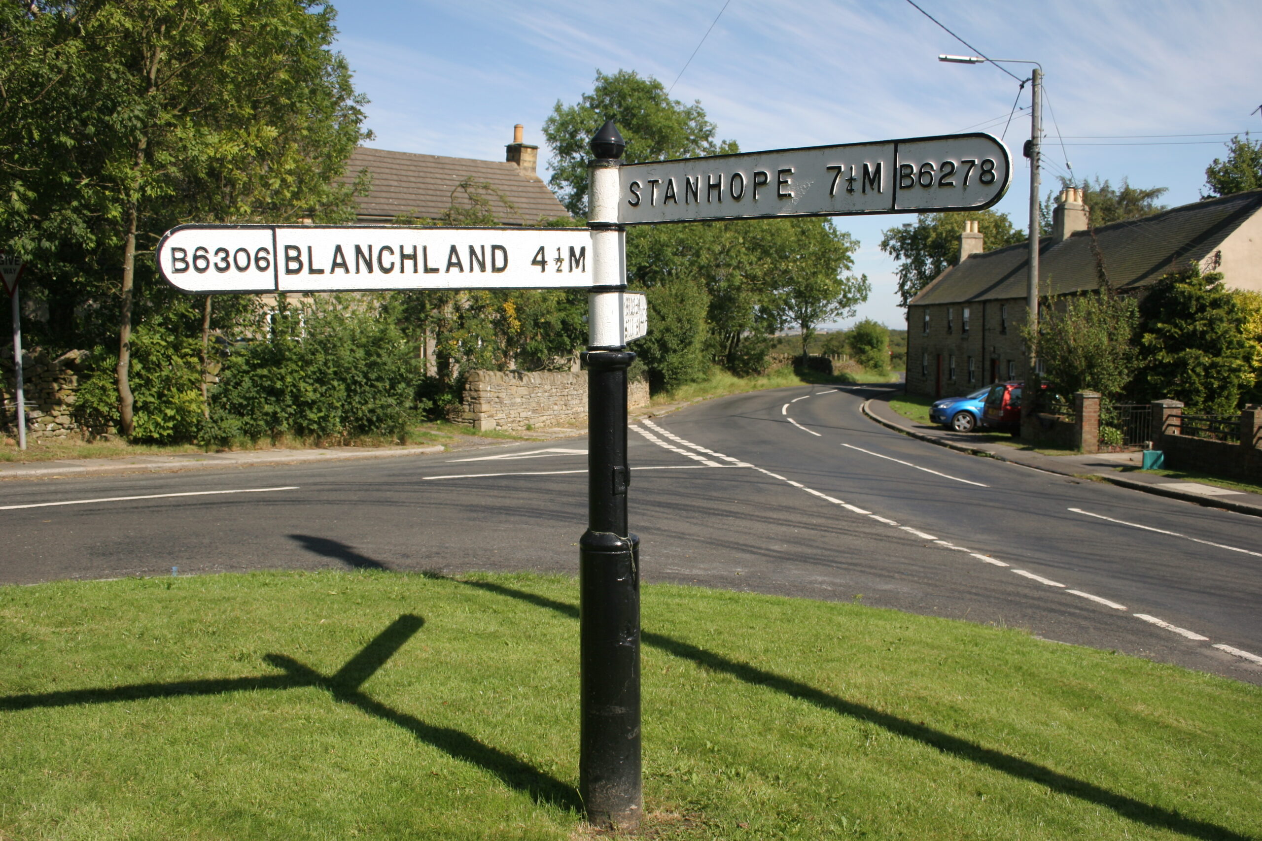
Stanhope
As you approach the end of leg 8, the settlement on the other side of the River Wear is Stanhope, the capital of the upper dale. St. Thomas’ Church dates to the 13th century. The fossil tree in the church yard is worth seeing. Stanhope Old Hall was founded in the 13th century and was one of the largest fortified houses in Weardale. Stanhope Castle in the market place was built in 1798.