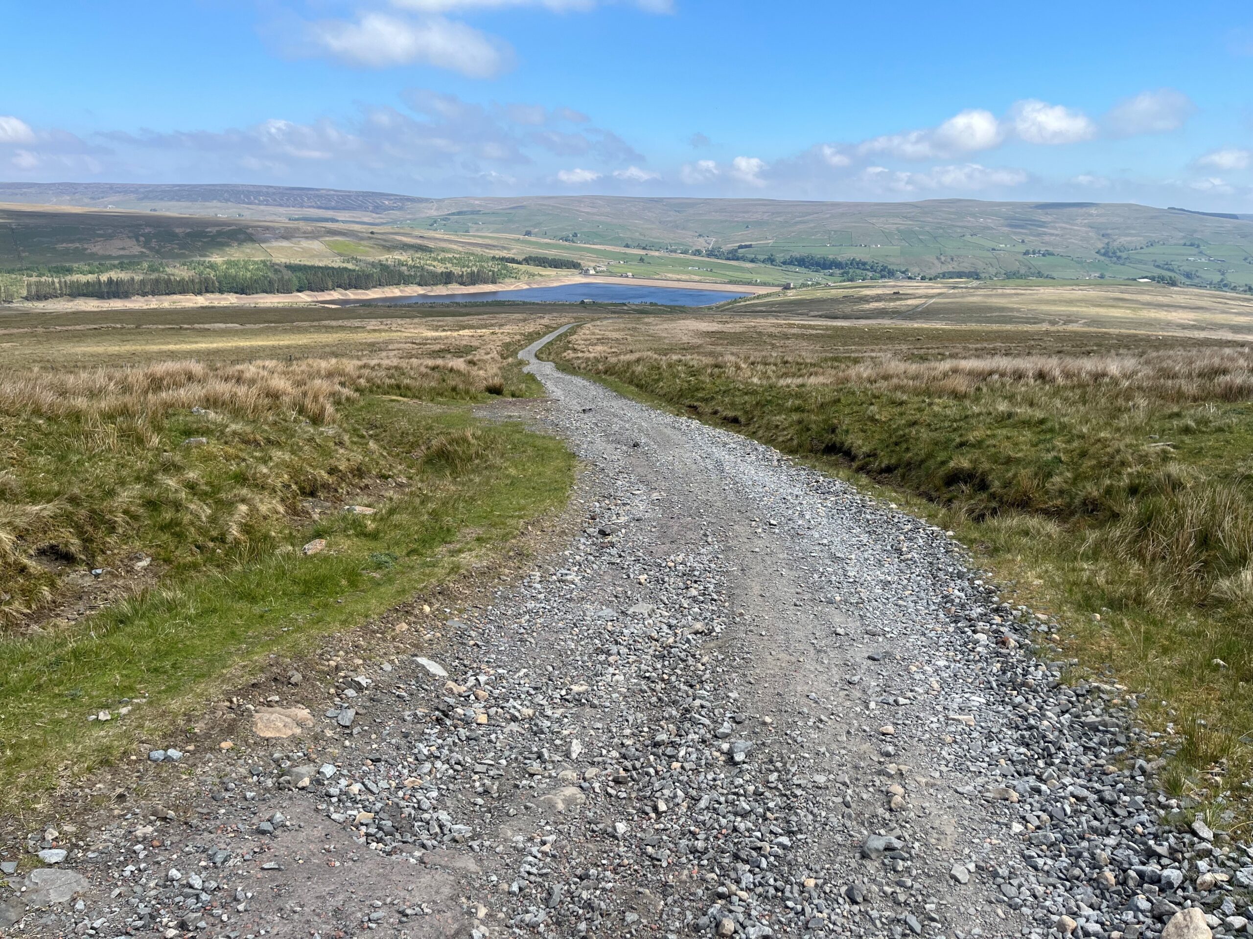
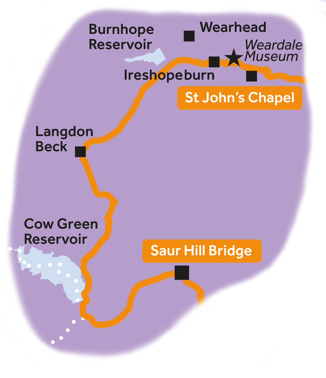
Weardale and Teesdale
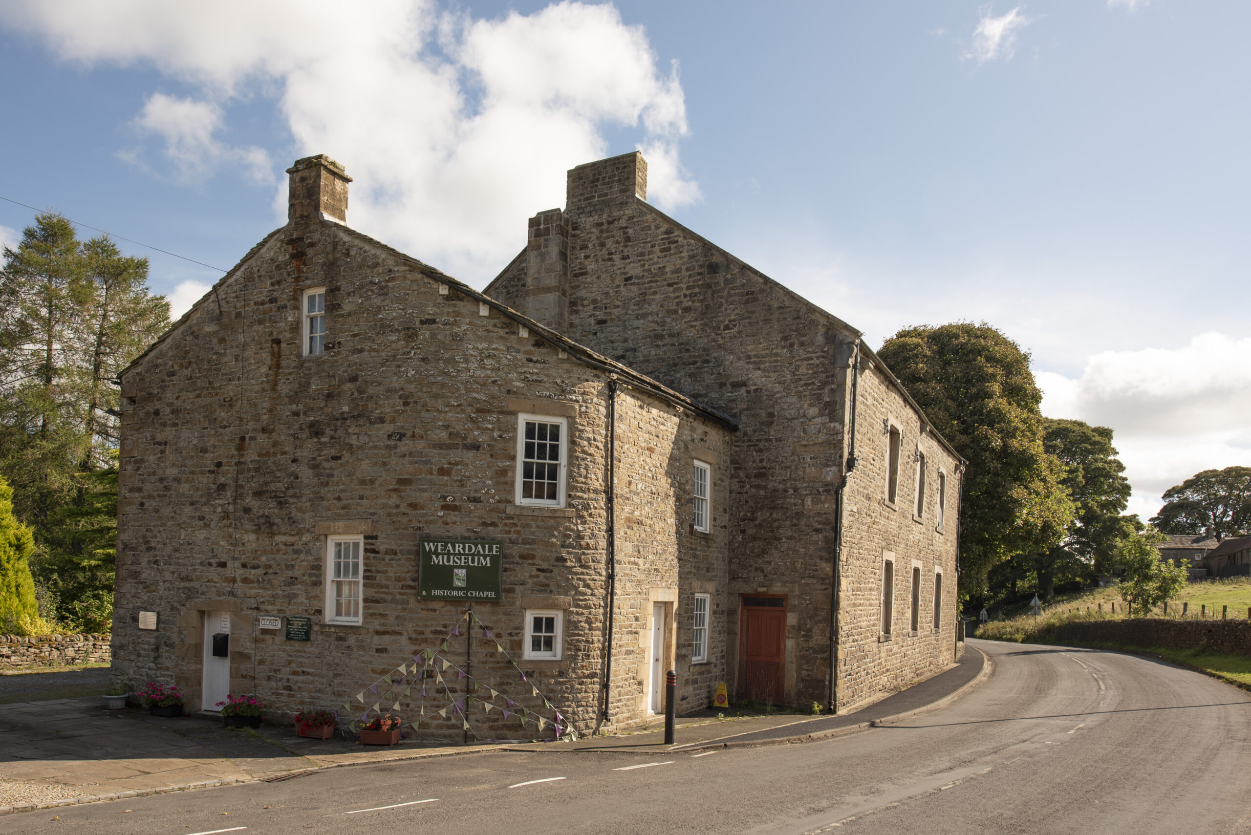
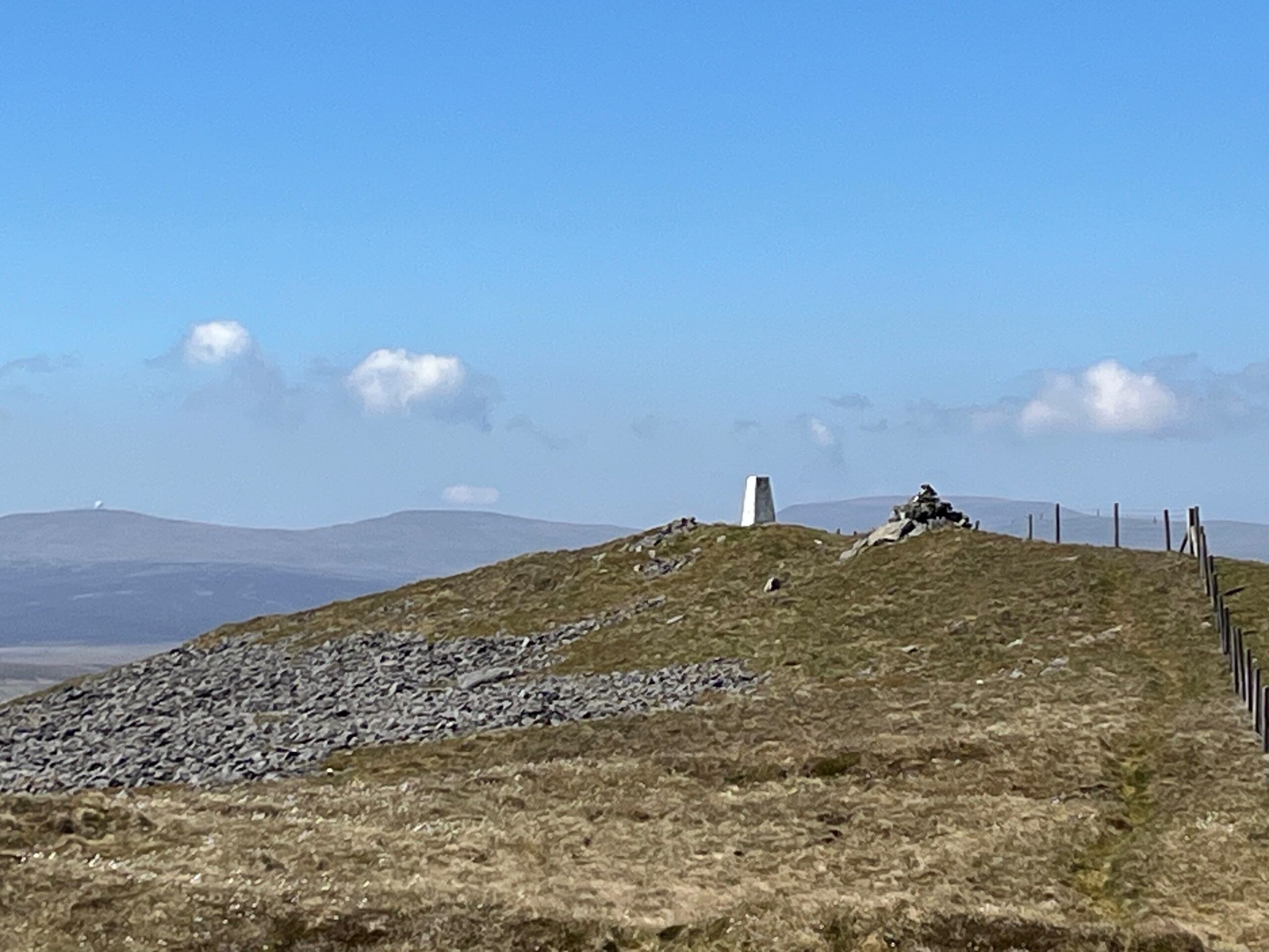
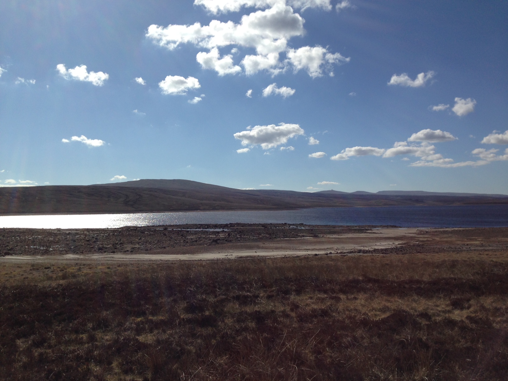
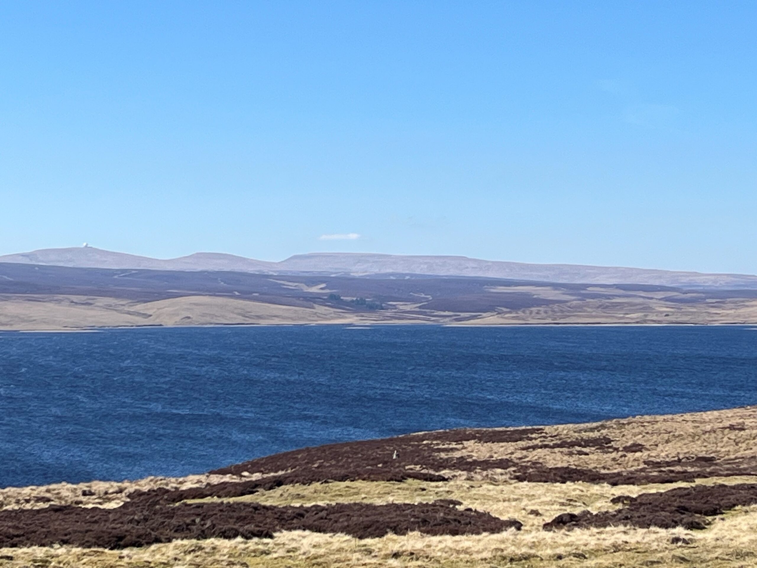
After passing the doors of the Weardale Museum in Ireshopeburn, a gradual climb up to the watershed between Weardale and Teesdale affords panoramic views of Upper Weardale. After an optional climb up Great Stony Hill (0.5km off route), a glorious descent all the way to Cow Green Reservoir awaits you with views of Cross Fell, Great and Little Dun Fell.
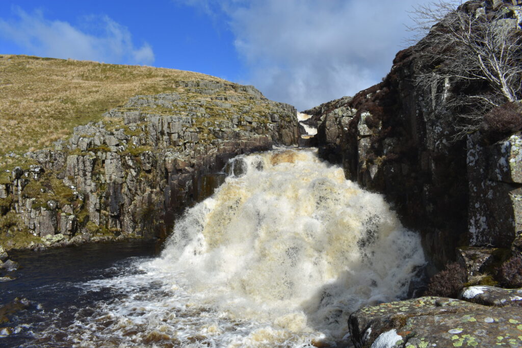
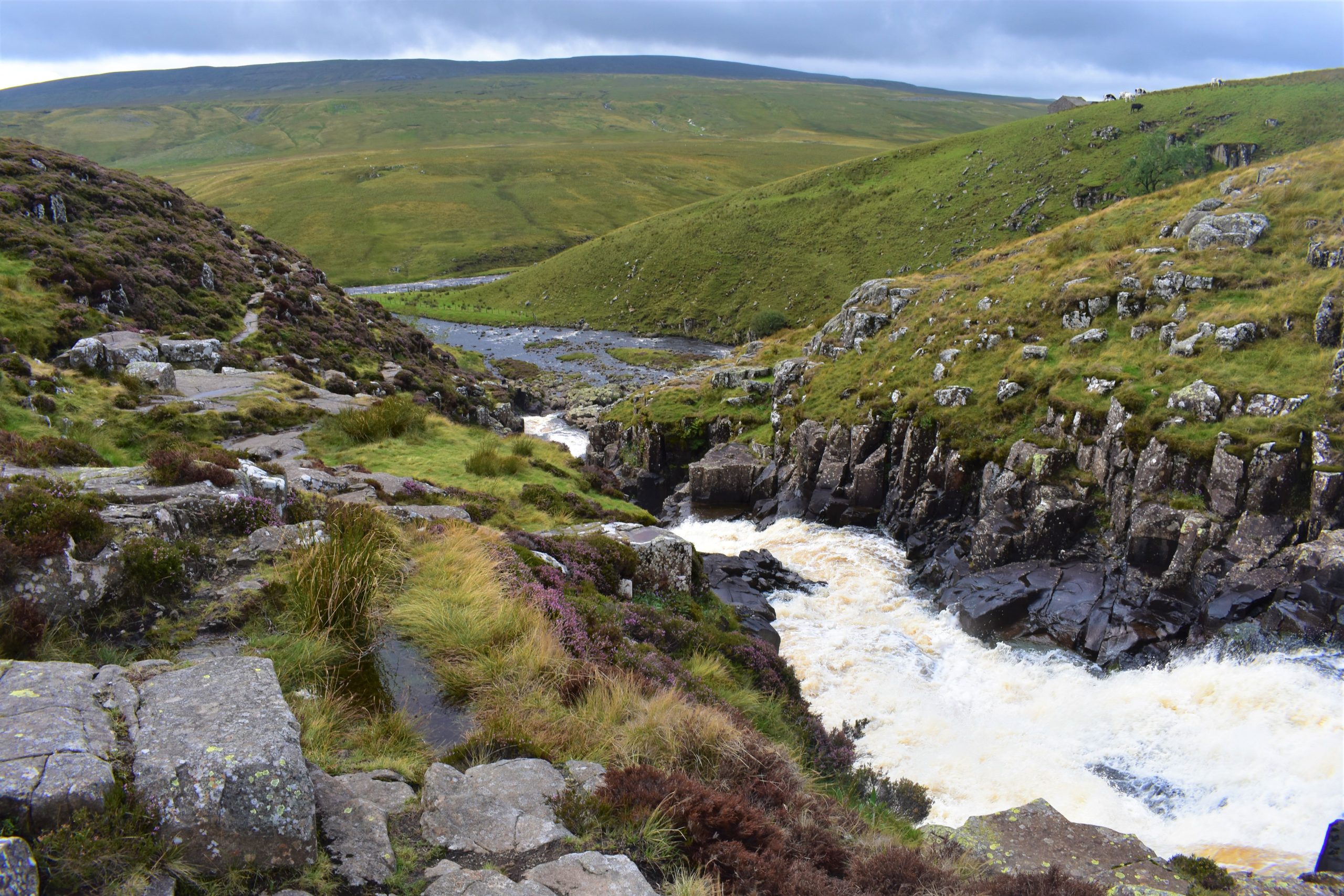
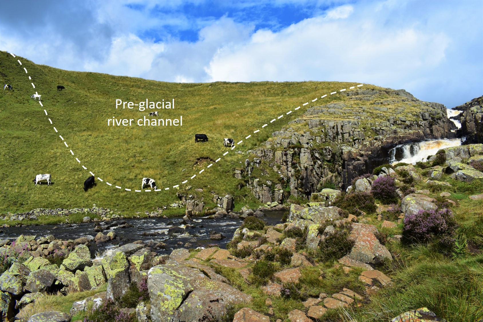
Cauldron Snout
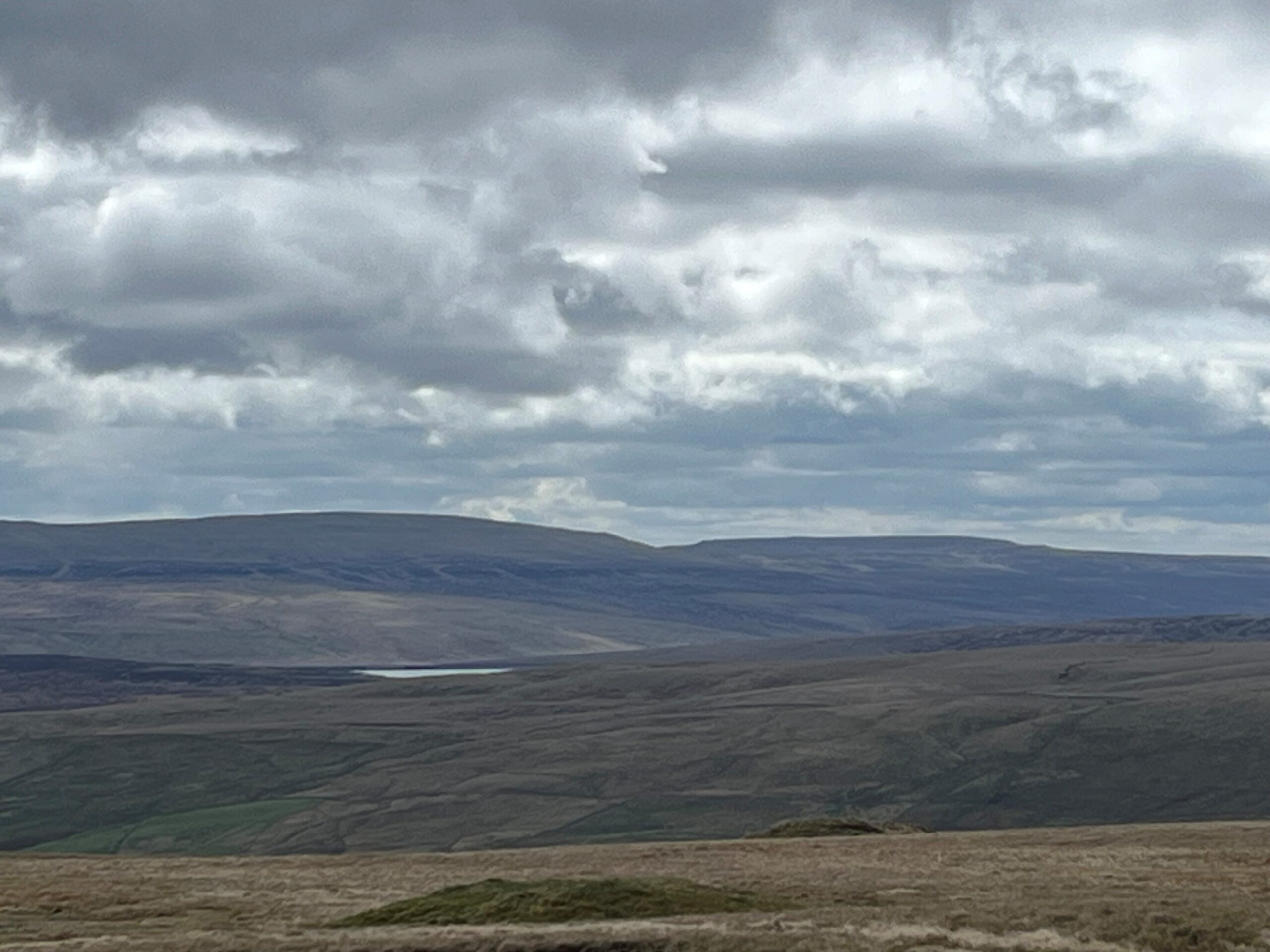
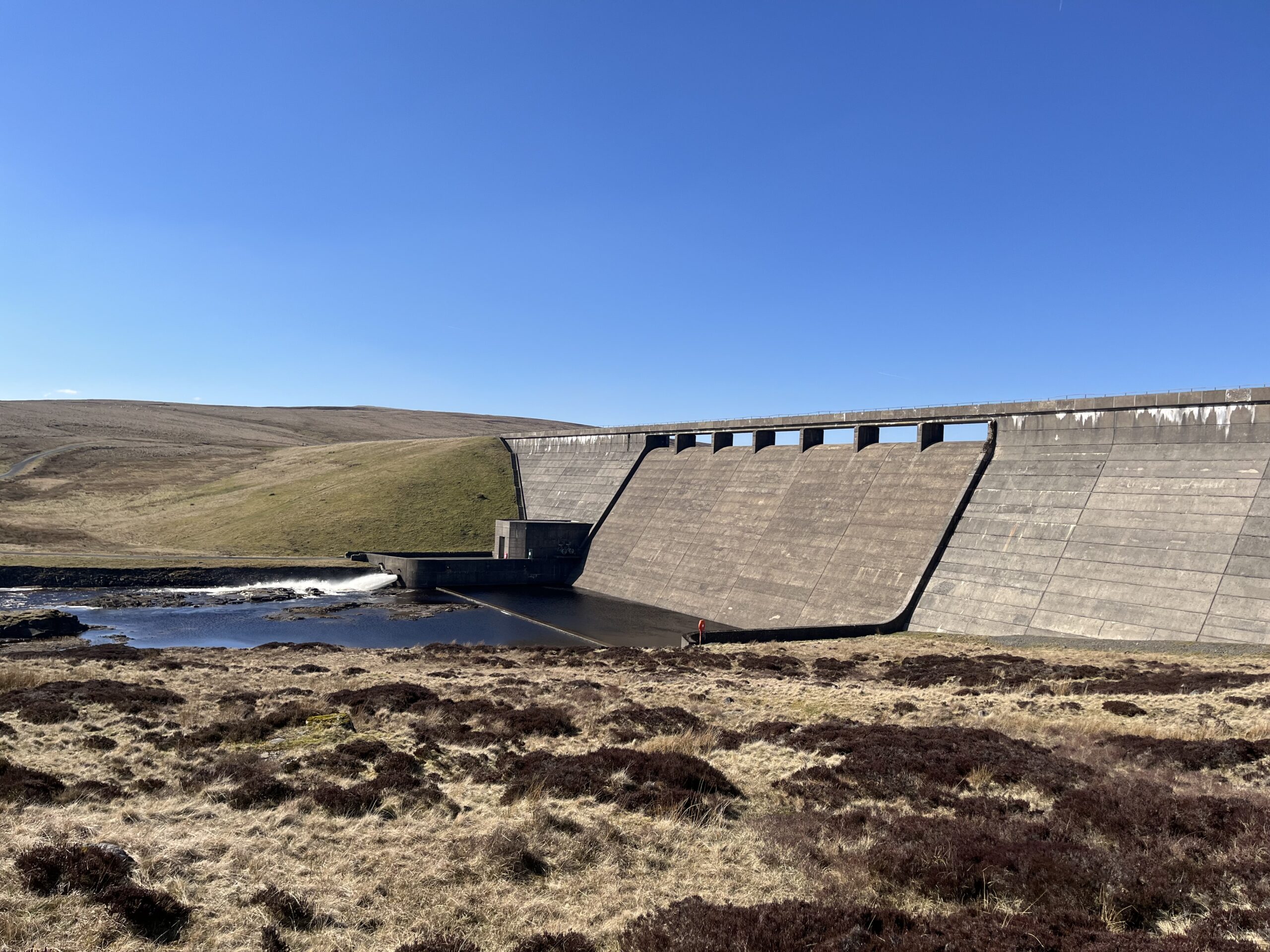
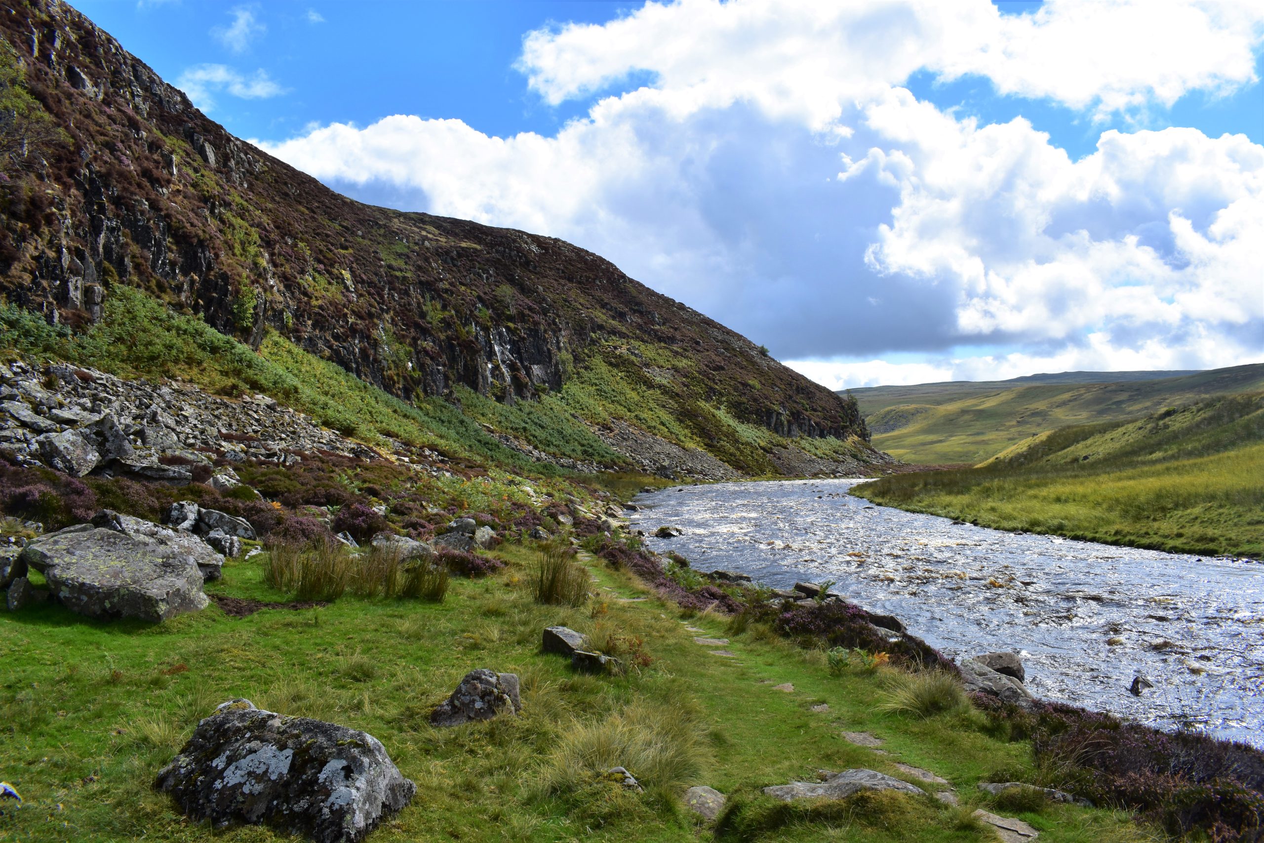
Below Cow Green dam you pick up the Pennine Way National Trail alongside the famous cataract of Cauldron Snout. The rest of the leg follows the River Tees beneath the crags of Falcon Clints and Cronkley Scar.
Roof of England Walk
Leg 10 of the Roof of England Walk starts just outside St. John’s Chapel (NY 88843 38119 and ///rewarding.influence.thus) in Upper Weardale and finishes at Saur Hill Bridge (NY 85476 30211 and ///regard.receiving.hangs) in Upper Teesdale. To follow this leg and the Roof of England Walk you will need to be able to map read/use a compass.
Turn-by-turn directions for this leg (including maps) are available as a pdf download. You can also download a GPX file to use on your own device (phone, watch or handheld).
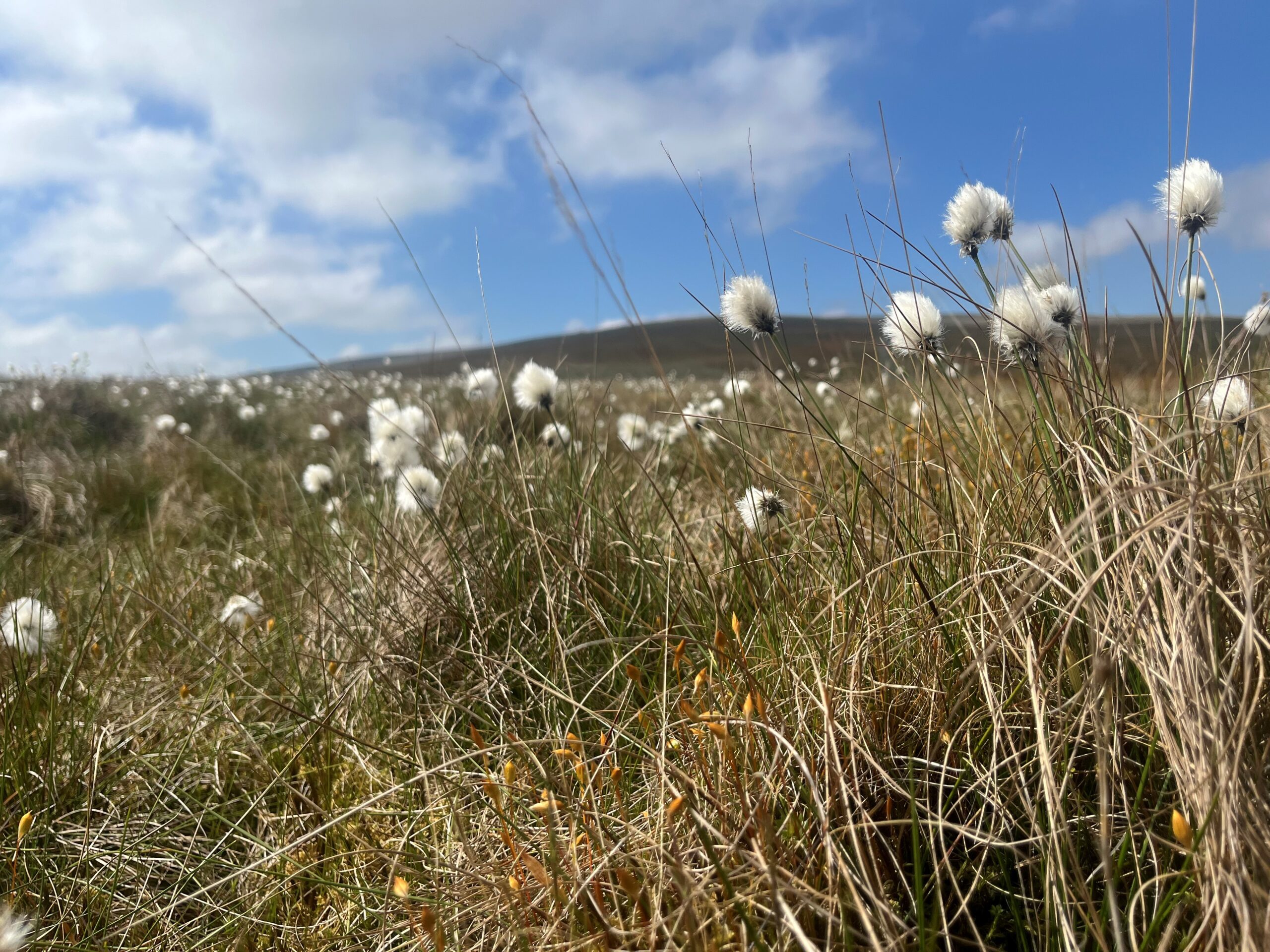
Terrain
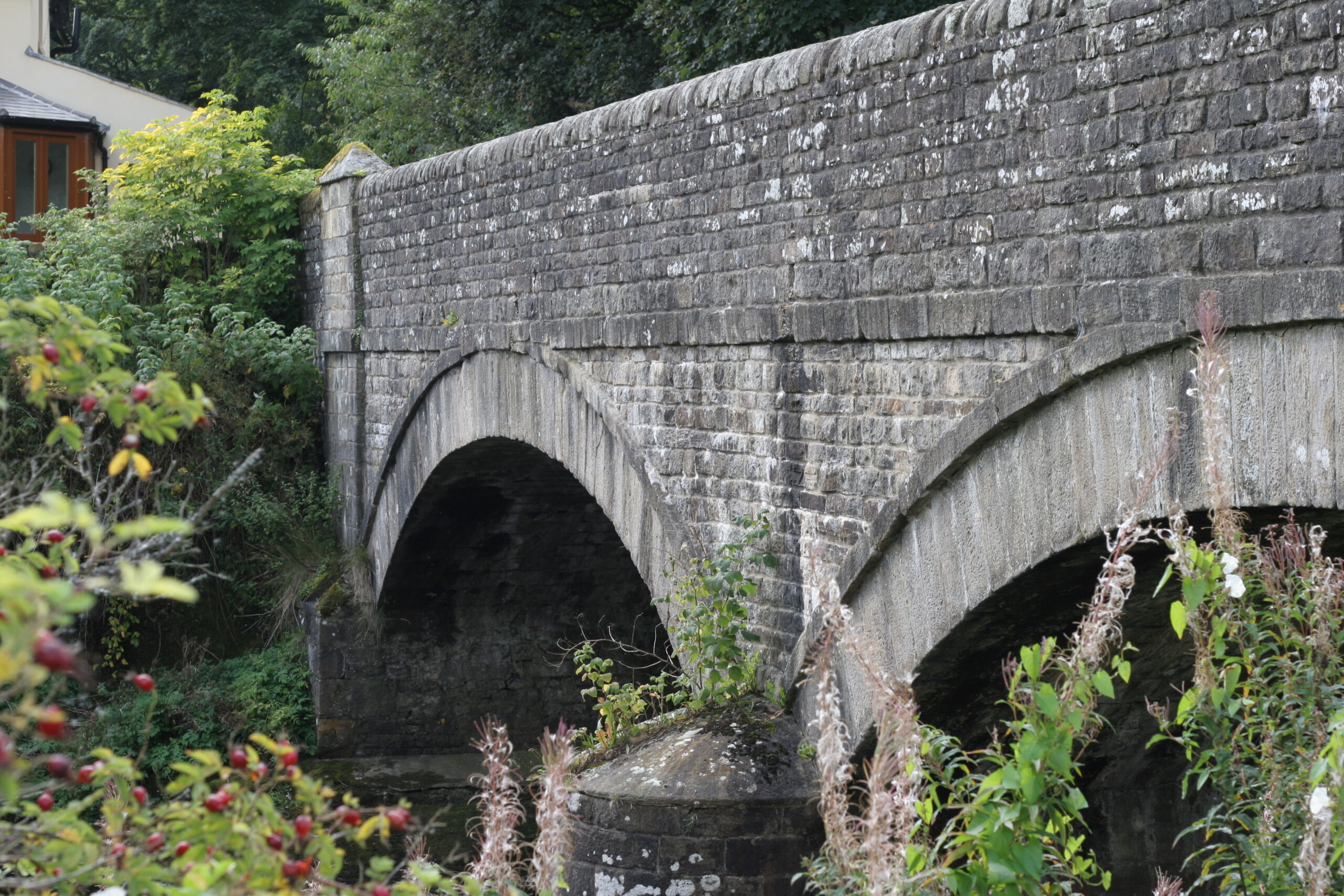
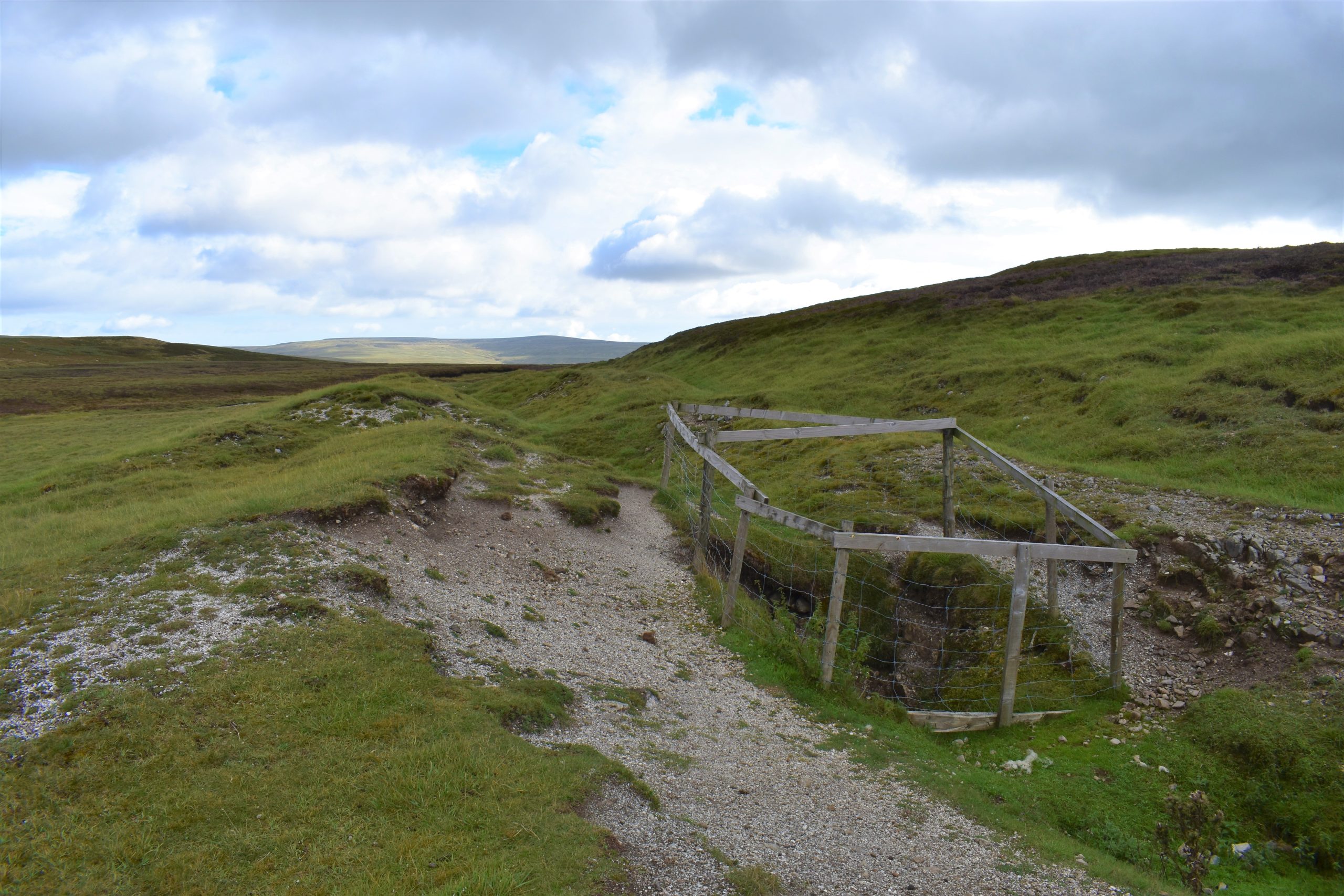
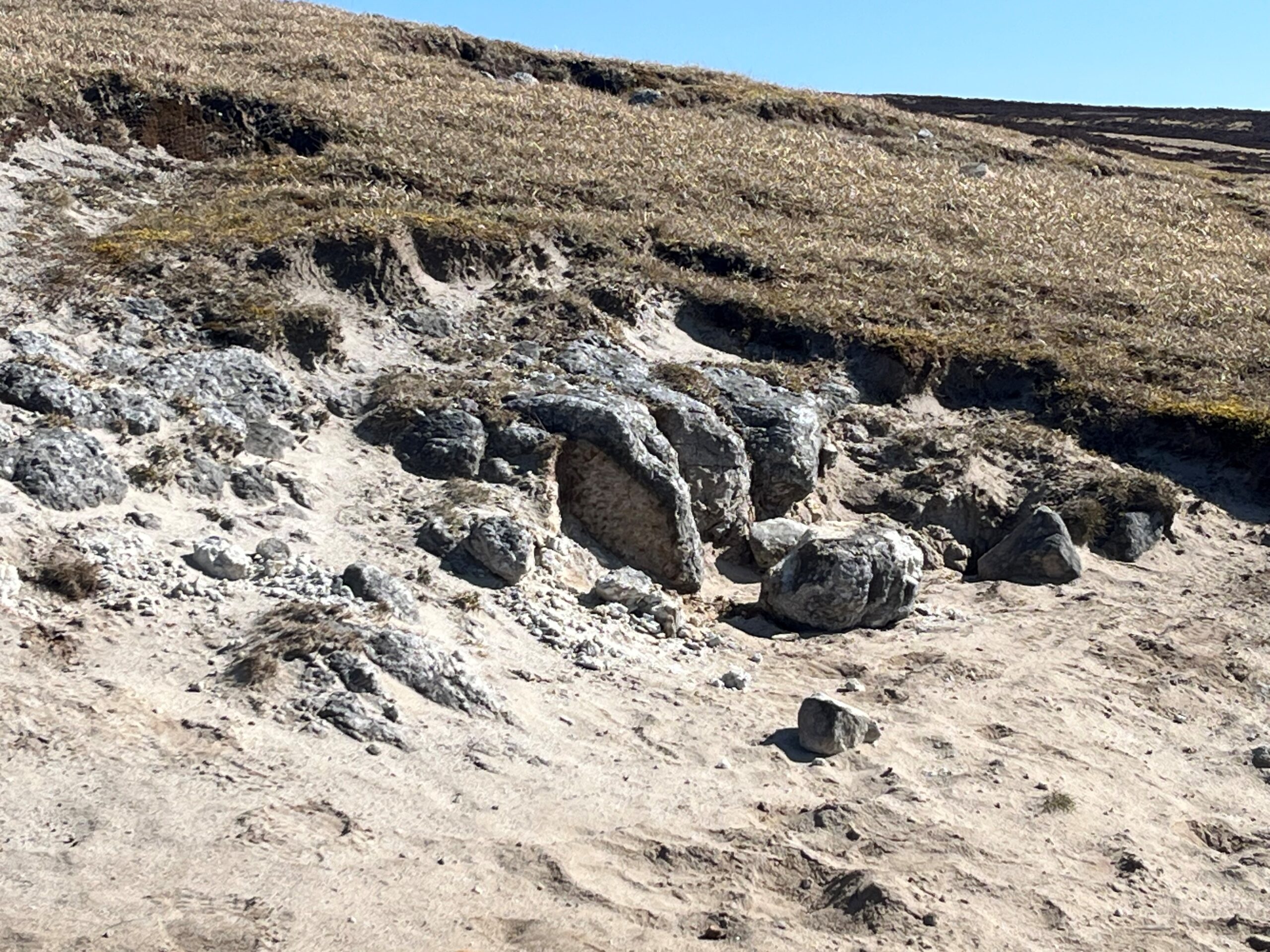
Initially the route follows the Weardale Way (for 2km) on muddy riverside and field paths. After Coronation Bridge you leave the Weardale Way for a section of tarmac (about 4km) through the village of Ireshopehope and initially on the gradual climb up the Grasshill Causeway. A rough stony track then follows up and over the watershed.
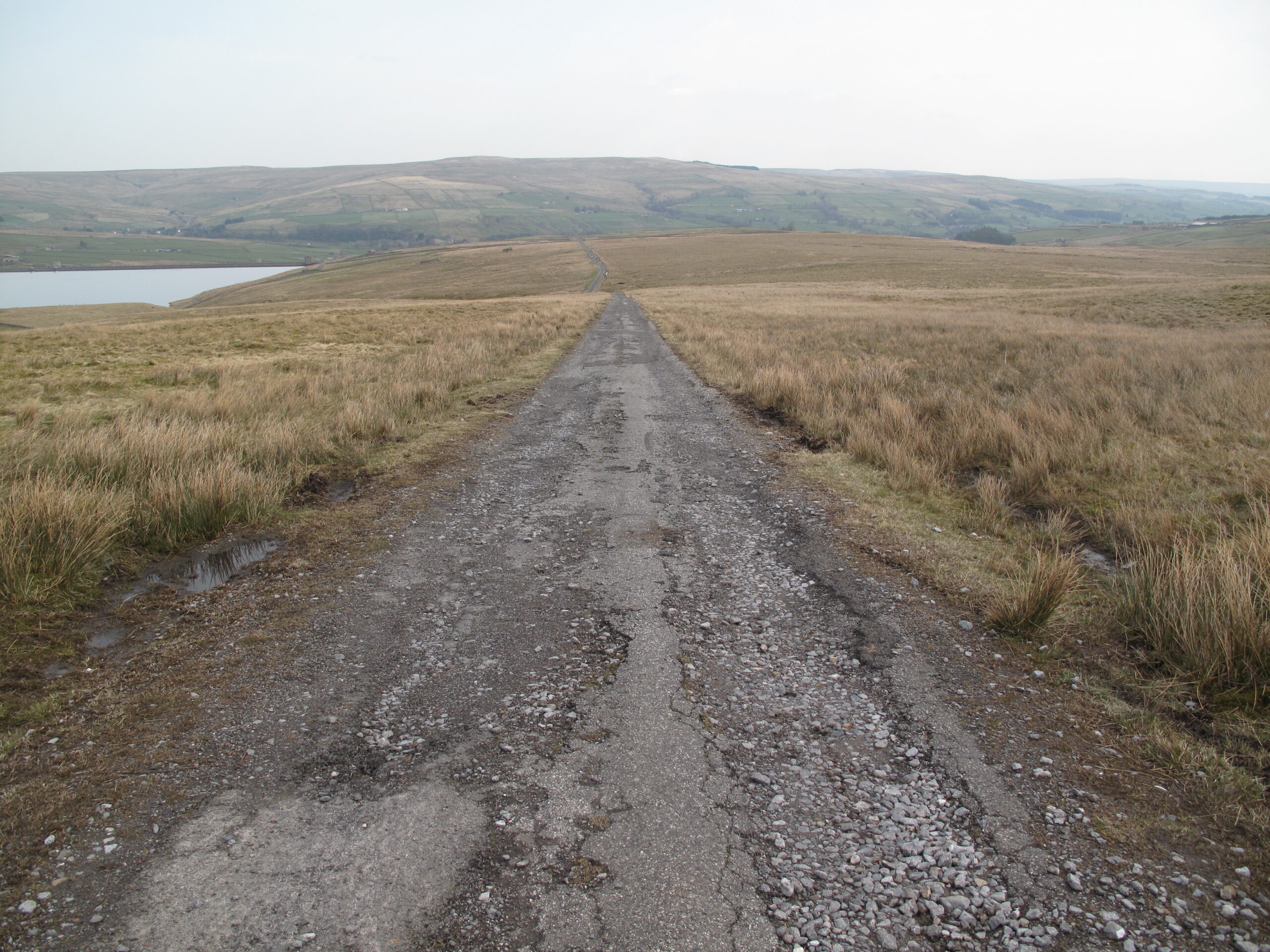
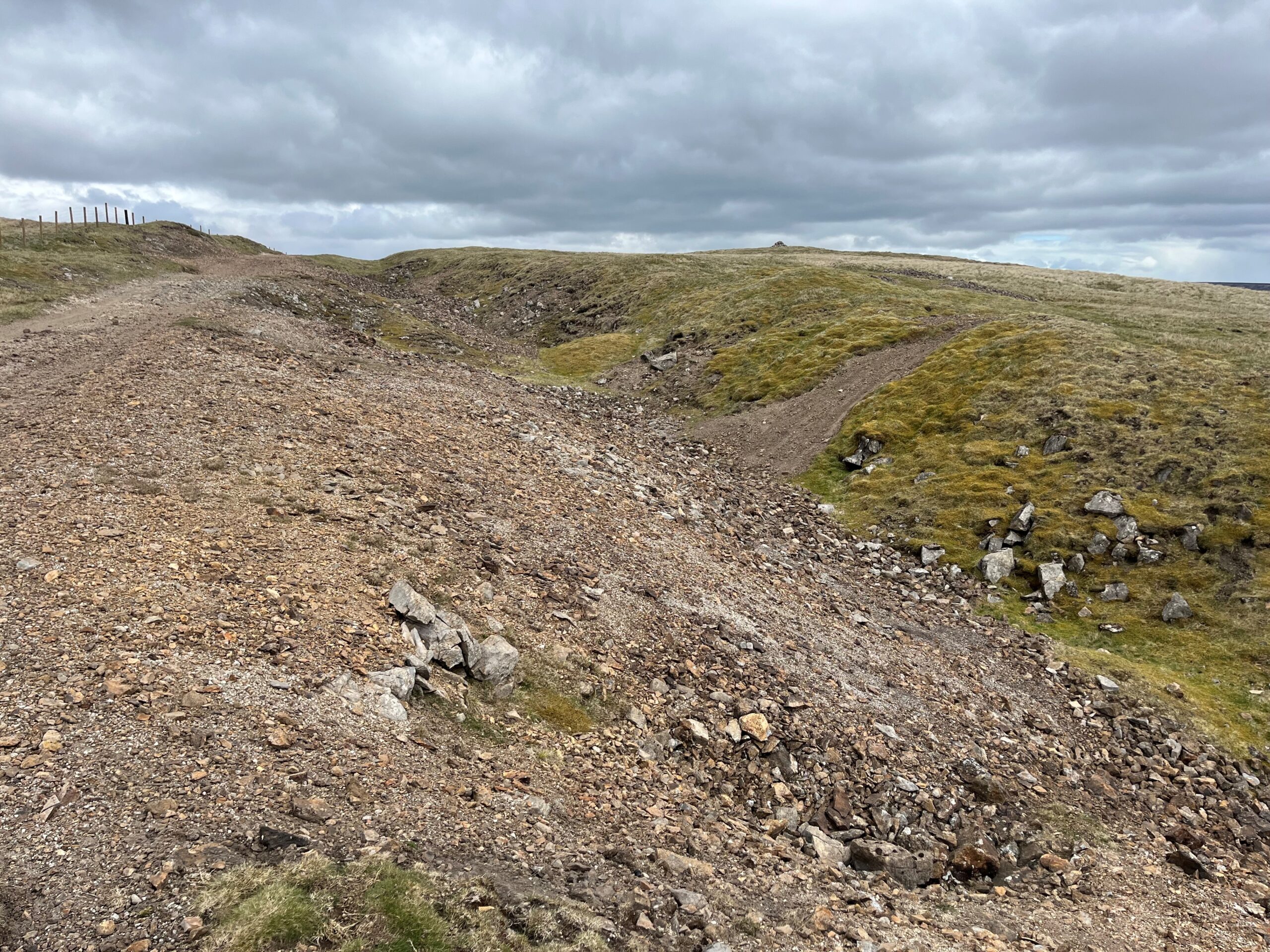
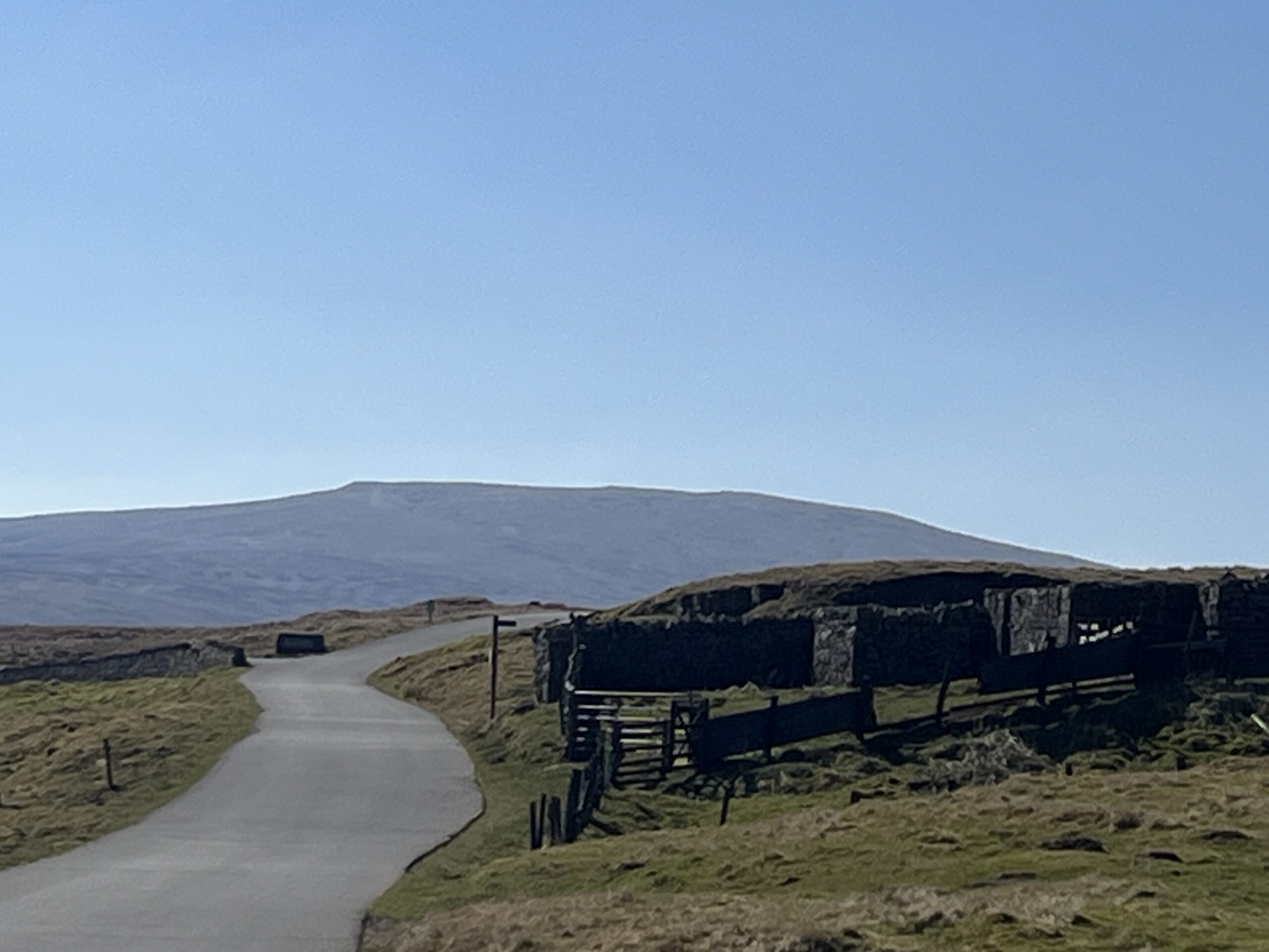
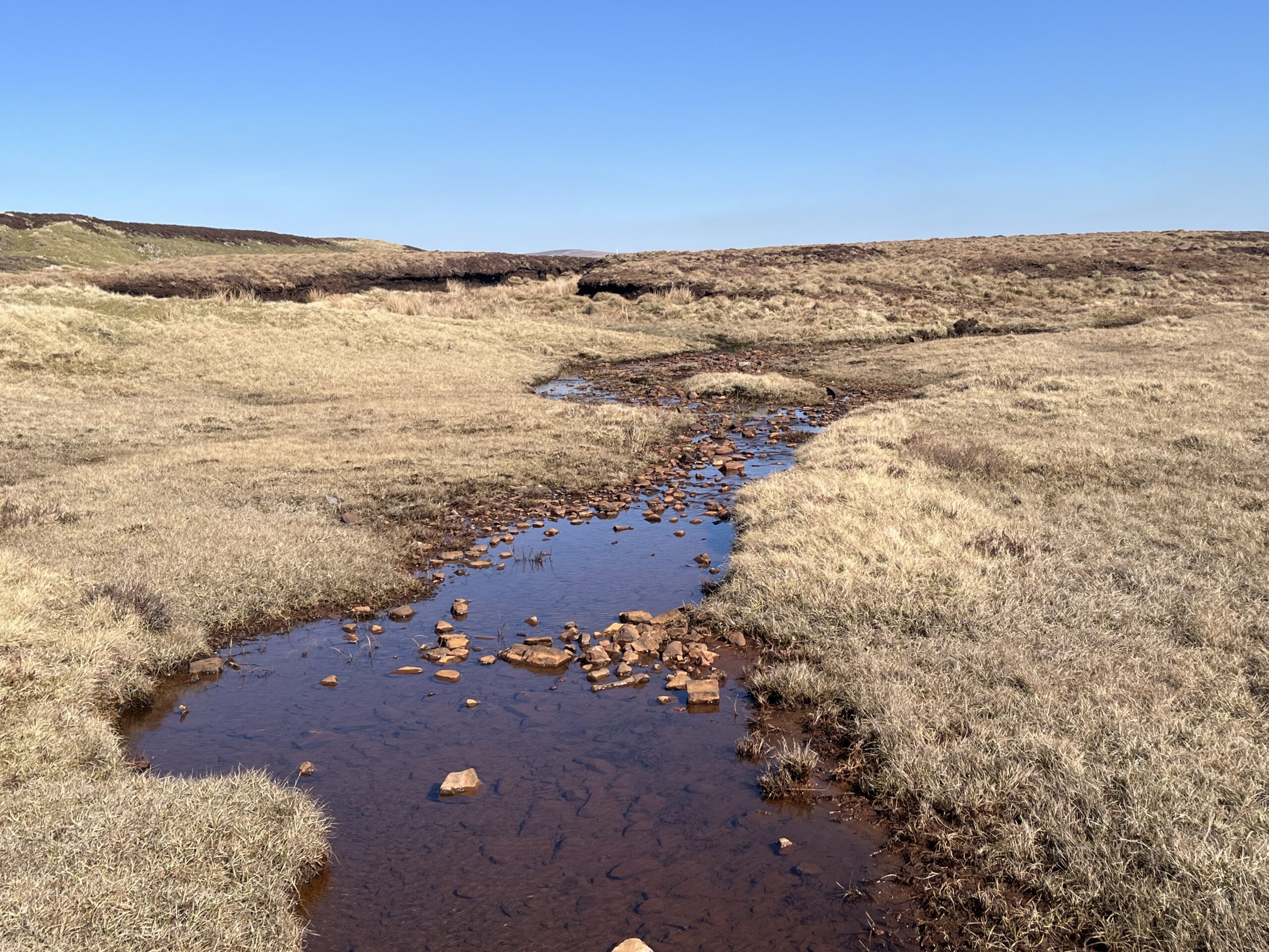
Road sections and paths through fields and one kilometre across unmarked moor follow. Take care in poor visibility. The stretch along the east side of Cow Green Reservoir is tarmac.
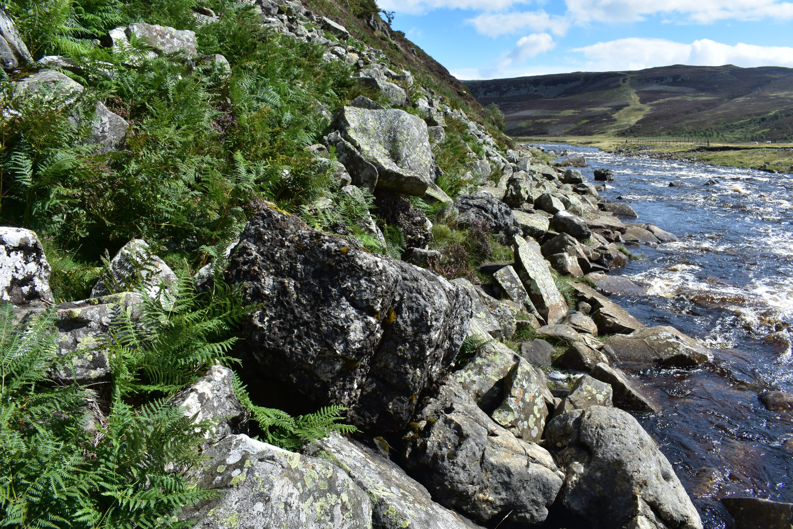
The scramble down the side of Cauldron Snout needs care and you will need to use your hands on occasion. The remaining 5.5km is on rocky paths with sections across fields and boardwalks. Take special care as you negotiate the boulder section below Falcon Clints. Starts at 291m with a high point of 677m. Over the day there is 562m of climb.
Please make sure you take a paper map with you (at least as a backup). Leg 10 is covered by the following OS Maps: Explorer – OL31; and Landranger – 92.
Saur Hill Bridge
Leg 10 finishes at Saur Hill Bridge in Upper Teesdale. Please note that there are no facilities at the bridge. The nearest accommodation is at Langdon Beck Hotel (+1.5km) and High Force Hotel (+6km, along Leg 11).
In addition, there is NO vehicular access to Saur Hill Bridge for the public. If you are planning to be picked up at the end of Leg 10 – the nearest road head is on the B6277 (+0.6km) or at Hanging Shaw viewpoint (+1.4km).
Suggested routes are highlighted on the Directions and maps download.
Keen, fit walkers may choose to combine legs 10 and 11 into one and stay overnight in Middleton-in-Teesdale (35.3km / 21.9 miles).
Responsible visiting
Please make sure you follow the Countryside Code (Respect, Protect, Enjoy – www.countryside-code.org.uk) and behave responsibly whist enjoying the Roof of England Walk.