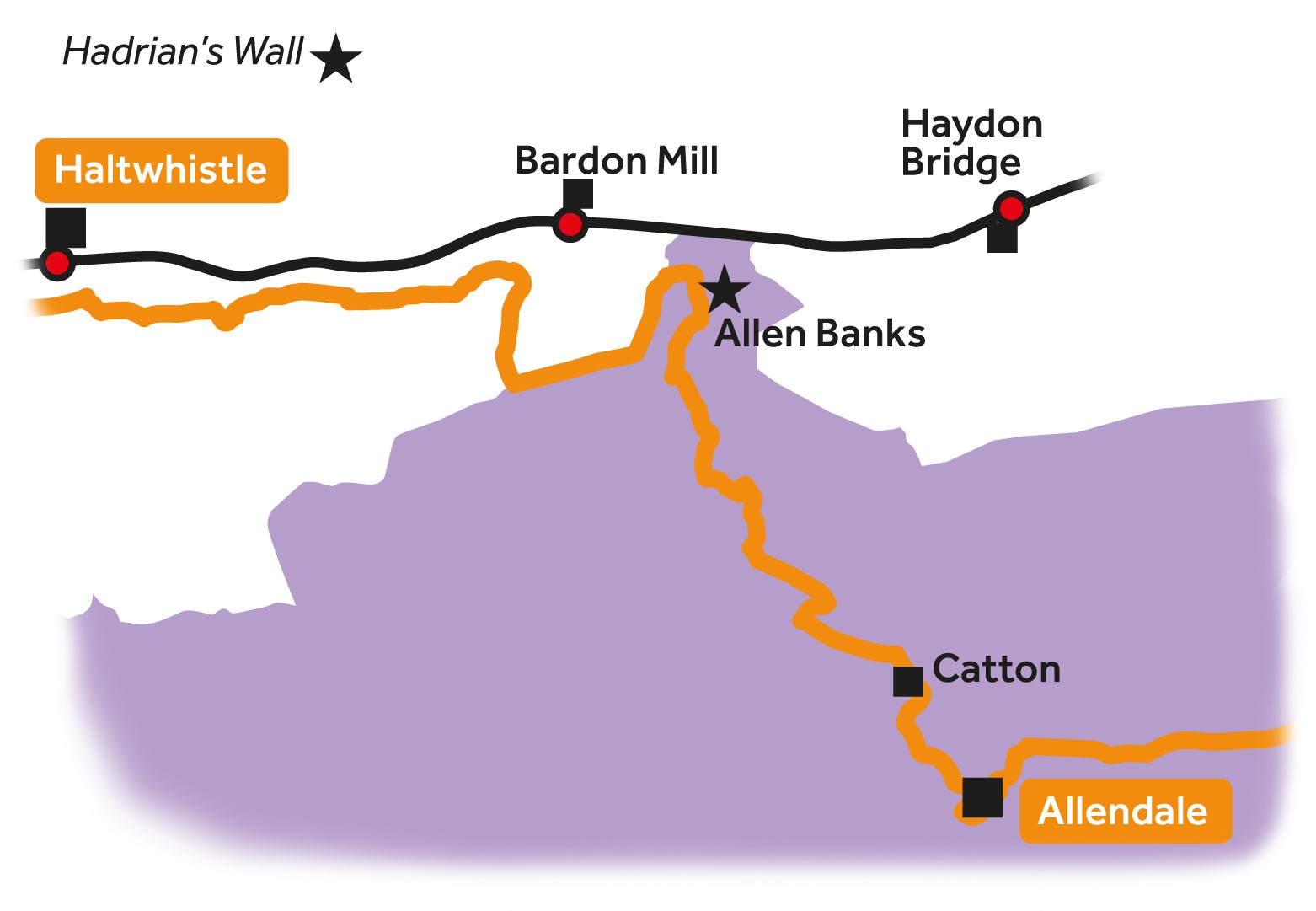
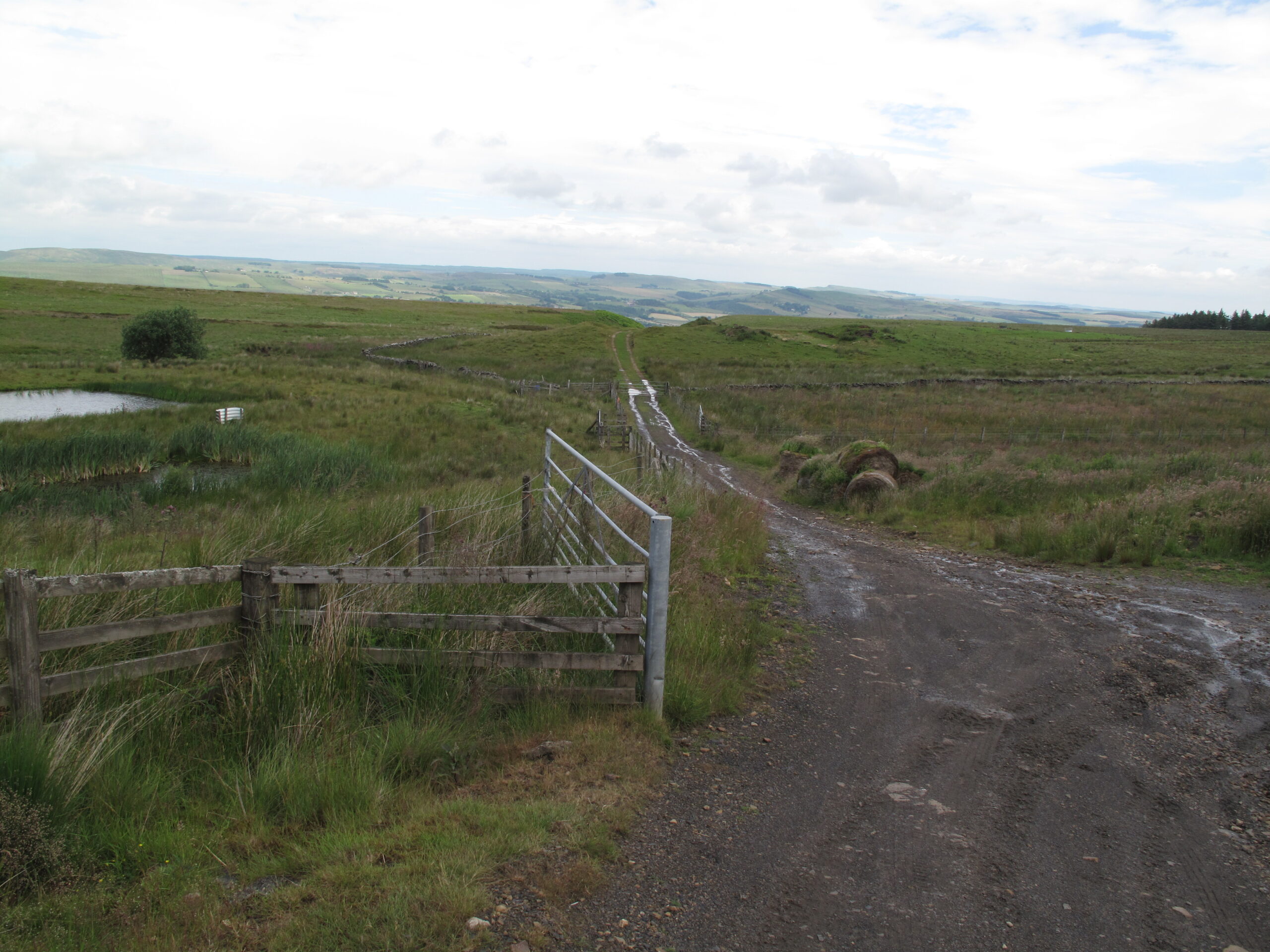
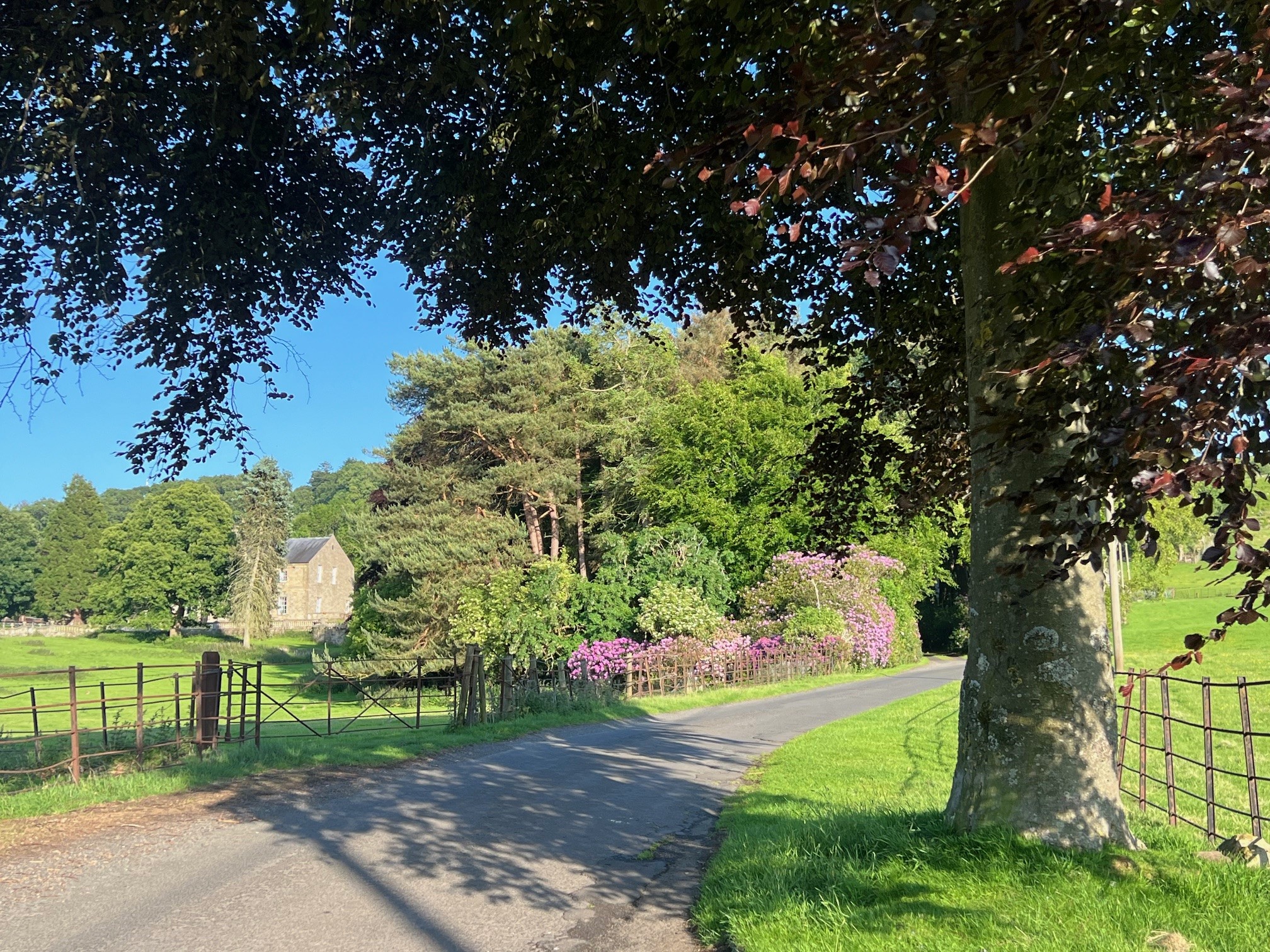
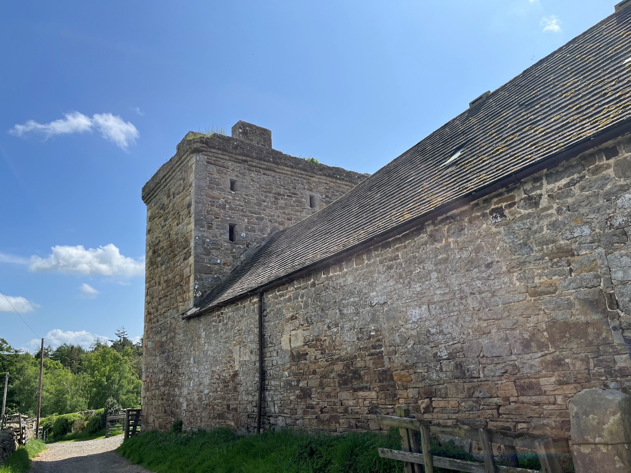
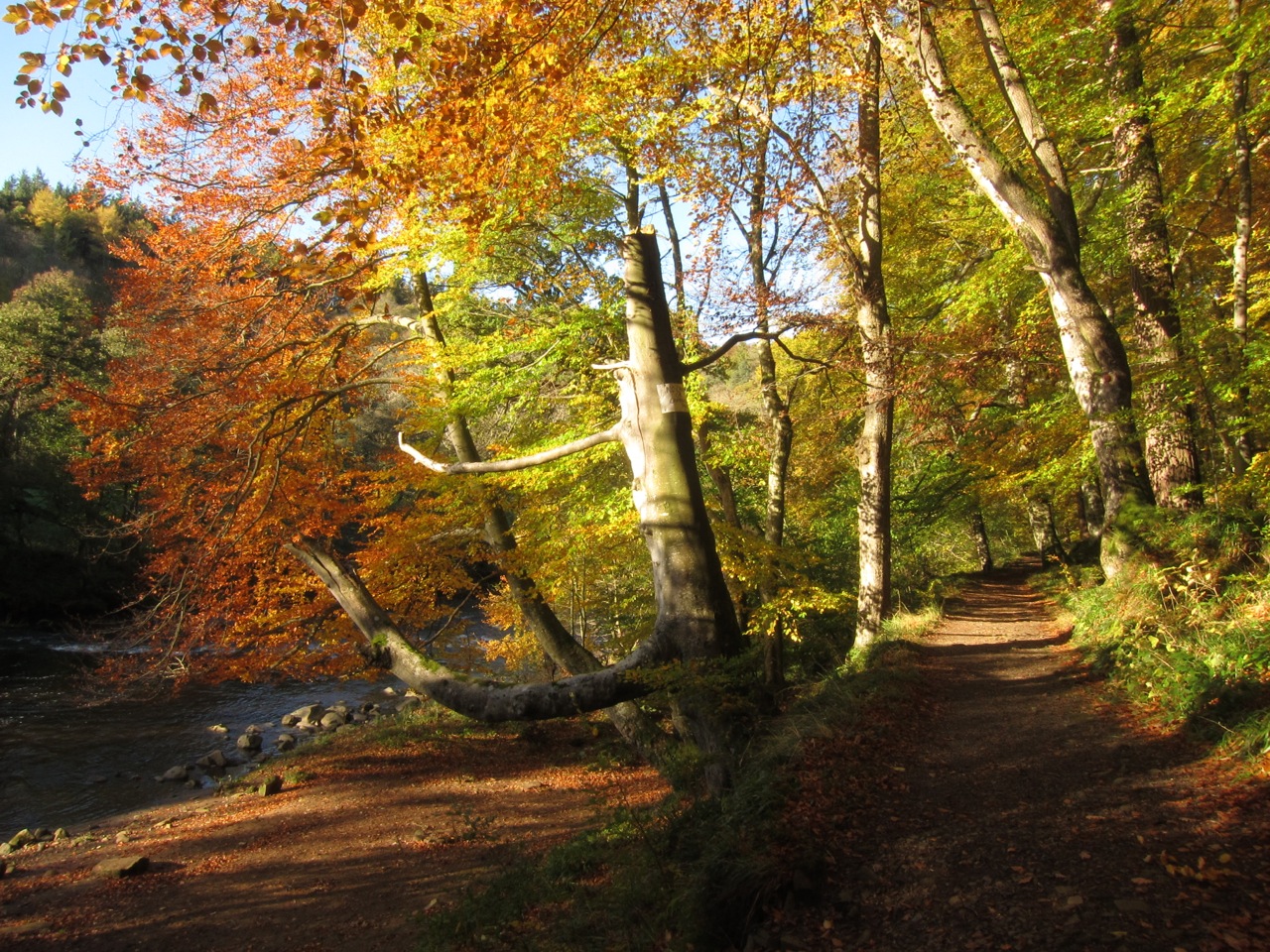
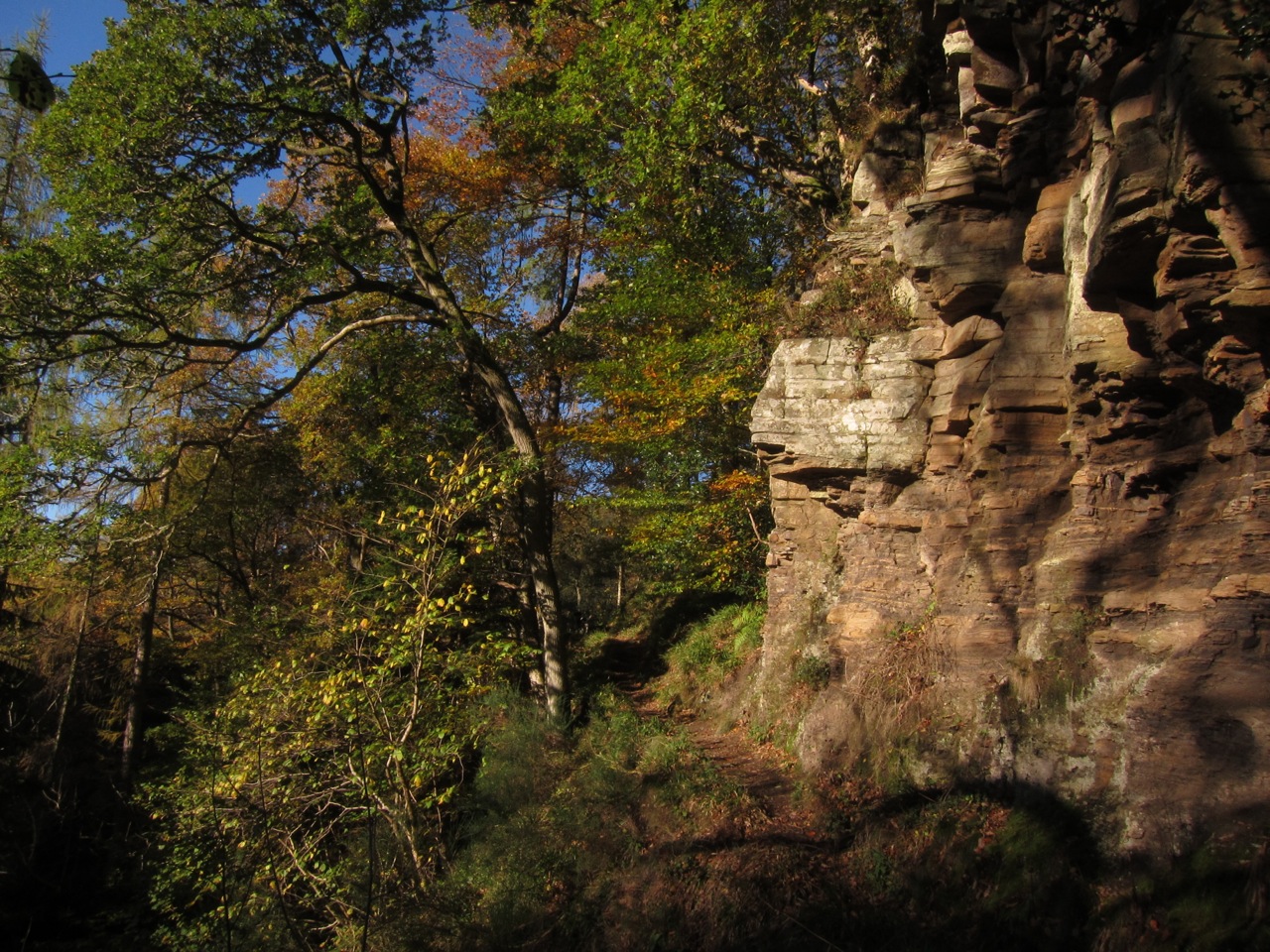
Leg 4Haltwhistle to Allendale

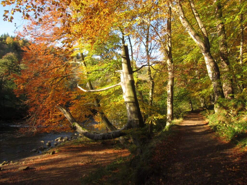
Leg 4 of the multi-day Roof of England Walk – a journey around the North Pennines. Initial walking alongside the River South Tyne and then heading south through dramatic, wooded gorge - Allen Banks. Linear route – 22.9km.

Wooded gorge

Allen Banks has been looked after by the National Trust since 1942 and is the largest semi-natural woodland in Northumberland. Enjoy this woodland wander through the dramatic gorge sculpted by the River Allen.

East Allen Valley

After Allen Banks you emerge into the East Allen Valley proper and walk all the way to Allendale – a former lead mining settlement, and the home of the Tar Bar’ls festival, at the heart of the Allen Valleys.

Roof of England Walk

Leg 4 of the Roof of England Walk will take you from south of the A69 – Haltwhistle (NY 70350 63183 and ///savers.enchanted.cages) and Allendale (NY 83741 55797 and ///fountain.dude.flattens). To follow this leg and the Roof of England Walk you will need to be able to map read/use a compass.

Initially the leg shares the route of the River Tyne Trail, from south of Haltwhistle to the village of Beltingham (10km). Between Beltingham and Allen Banks look out for Roof of England waymarks. The route is not waymarked in Allen Banks (between NY 79735 63574 and NY 80376 60475). As you leave Stawardpeel Wood you will pick up Roof of England Walk waymarks again – follow these until Allendale.

Turn-by-turn directions for this leg (including maps) are available as a pdf download. You can also download a GPX file to use on your own device (phone, watch or handheld).

Terrain

There’s quite a lot of quiet country lanes to follow on this leg – about 9km. Riverside walking on muddy paths, and paths across fields. Inclines down into Allen Banks and up out again.
Starts at 115m with a high point of 305m. Over the day there is 435m of climb. Please make sure you take a paper map with you (at least as a backup). Leg 4 is covered by the following OS Maps: Explorer – OL43 and OL43; and Landranger – 86.

Responsible visiting

Please make sure you follow the Countryside Code (Respect, Protect, Enjoy – www.countryside-code.org.uk) and behave responsibly whist enjoying the Roof of England Walk.

Points of interest

1

Start

Start of Roof of England Walk Leg 4 – Haltwhistle to Allendale.

2

River Tyne Trail

The first 10km of Leg 4 of the Roof of England Walk shares the route of the River Tyne Trail, from south of Haltwhistle to the village of Beltingham. The River Tyne Trail is a 217km route from Warden, in Northumberland, to the sea at Tynemouth.

3

Plenmeller

Take care as you walk through the linear settlement of Plenmeller – the road can be busy. To the south of the small village there used to be a colliery – which peaked in production in the 1920s. Latterly coal was extracted through open cast methods on Plenmeller Common. The site closed in May 2002 and has since been restored to a more natural landscape.

4

Unthank Hall

Unthank Hall is Grade II listed manor house. It was owned by the Ridley family in the 16th century. Incorporating an ancient pele tower, it was extensively remodelled and extended in 1815 and 1865 and further altered 1900 and reduced in size in 1965. Pele towers are small, fortified keeps or tower houses, free-standing and built with defence in mind.

5

Willimoteswick Castle

Willimoteswick Castle is a fortified manor house which was the seat of Sir Edward Blackett. The property remained in the Blackett family until the 20th century and is now a working farm. Bishop Ridley, who was burned at the stake by ‘bloody’ Queen Mary in 1555 was born here. It dates to the 16th century and is both a Scheduled Ancient Monument and Grade I listed.

6

Beltingham River Gravels

At this point you can either continue to follow the lane or walk through this small Northumberland Wildlife Trust reserve. You will find deciduous woodland and scrub on river gravels. Heavy metal pollution from old mine spoil heaps has created a habitat which enables metal-loving plant species (metallophytes) to thrive – such as alpine penny-cress, spring sandwort and mountain pansy.

7

Allen Banks

Allen Banks is a dramatic steep-sided gorge, created by the River Allen and has been looked after by the National Trust since 1942. It has extensive ancient and ornamental woodland. At 250 hectares it is the largest semi-natural woodland in Northumberland. It is known for its extensive carpets of wild garlic (also called ramsons) in the spring and early summer. Keep a look out for red squirrels.

8

Shingle banks

This is a good place to find pebbles of different rocks. Local Carboniferous rocks, especially buff-coloured sandstone, are the most common. You can also find grey limestone and dark grey shale. If you are lucky, you may spot fossil plant remains or worm burrows in the sandstone, or white shelly fossils in the limestone.

9

Raven Crag

These impressive cliffs are made up of beds of sandstone which were once layers of sand in Carboniferous deltas. Weathering has picked out features that give clues to conditions 320 million years ago. The beds high in the face are very thick and probably built up quickly. Lower layers show fine layering and some cross-bedding.

10

Briarwood Banks

The woodland up to your right, known as Briarwood Banks, is an area of semi-natural ancient woodland, managed by Northumberland Wildlife Trust. Ash trees dominate but you will also see birch and oak. You might spot some overgrown ruins – this was part of an old industrial complex, possibly related to lead ore smelting in the 1680s.

11

Plankey Mill

Cross the River Allen at Plankey Mill using the arched footbridge. The buildings were originally an 18th century corn mill, they are built of local sandstone and are roofed with thin sandstone slabs.

12

Staward Peel

High on a promontory above the path is the ruin of Staward Pele tower. It was originally built as a timber structure in 1316 by Antony de Lucy of Langley. The stone structure dates to 1326 and was built by Thomas de Featherstonehaugh. The ruins of the tower and its gatehouse are Grade II listed. Its setting, including medieval ditches, is a Scheduled Ancient Monument.

13

A686

You are approaching the A686 – the main road between Haydon Bridge, in the Tyne Valley, and Alston. It is a fast and straight road at this point. Please take care crossing.

14

Catton

The small settlement of Catton was the end of the Hexham and Allendale branch of the North-Eastern Railway – 13 miles long and opened to passenger services in 1869. The original plan was to extend to Allenheads but this never came to pass. The main function of the line was to transport lead ore form the Blackett-owned lead mines in the Allen Valleys to Hexham for onward transport to Newcastle.

15

River East Allen

The East Allen is a fantastic upland river set within the North Pennines National Landscape. A survey in 2022 of a 70m stretch between Allendale and Allen Mill recorded almost 1,500 fish – sea trout, salmon, eels, and stone loach. The river also supports a healthy population of water voles – so much so that it was used as a donor site to reintroduce the mammal to Kielder Water and Forest Park.

16

Allen Mill Bridge

In the late summer/autumn (particularly October and November) it is possible to see sea trout and salmon trying to jump the weir and run the fish pass. The best time is after a period of rain, especially early morning or evening. It is remarkable to think that these fish are returning from the North Sea to the river of their birth. The strongest fish can leap up to 3m over rapids and waterfalls.

17

Allen Smelt Mill

To visit the historic Allen Smelt Mill turn right, cross the road bridge and immediately left. Lead mining once generated huge wealth for the East Allen Valley. In the 1850s the smelt mill here was the largest in the country, capable of processing over 2,000 tons of lead ore each year. The flues are the best preserved in England and led from here to chimneys over two miles away on Dryburn Moor.

18

Isaac's Tea Trail

The Roof of England Walk shares its route from Allen Bridge to Allendale with Isaac’s Tea Trail - a 58km circular walk through the North Pennines. It links Allendale, Nenthead and Alston – following in the footsteps of the legendary lead miner, tea seller and fund raiser, Isaac Holden. Isaac came from a line of West Allen miners but a downturn in the 1830s led to a career change.

19

The Blackett Level

Started in October 1855, the Blackett Level was to be a seven mile tunnel draining water from the Allenheads Mine. Shafts were sunk between here and Allenheads, and miners tunnelled towards each other deep below the surface. The tunnel never reached its destination – falling 2 miles short. It was abandoned in the early 20th century, the Mine had closed and the industry had largely collapsed.

20

Allendale

Allendale is a former lead mining settlement. The handsome inns, shops and stone-built houses bear witness to the huge wealth generated through the industry in the 1800s. Visit the churchyard to see Isaac Holden’s memorial. The Allendale Tar Bar’ls festival on New Year’s Eve sees ‘guisers’ – local men – carrying barrels with flaming hot tar through the town with faces blackened by soot.

21

Museum of Classic Sci-Fi

On the right as you walk up the hill into Allendale notice the small museum. It charts the history of classic Doctor Who and science fiction, as told through original props, costumes and published artwork.

22

Finish

Finish of Roof of England Walk Leg 4 – Haltwhistle to Allendale.

Introduction
01