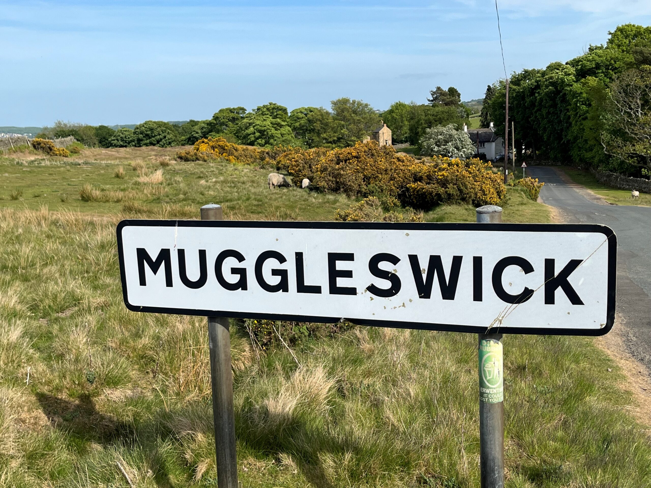
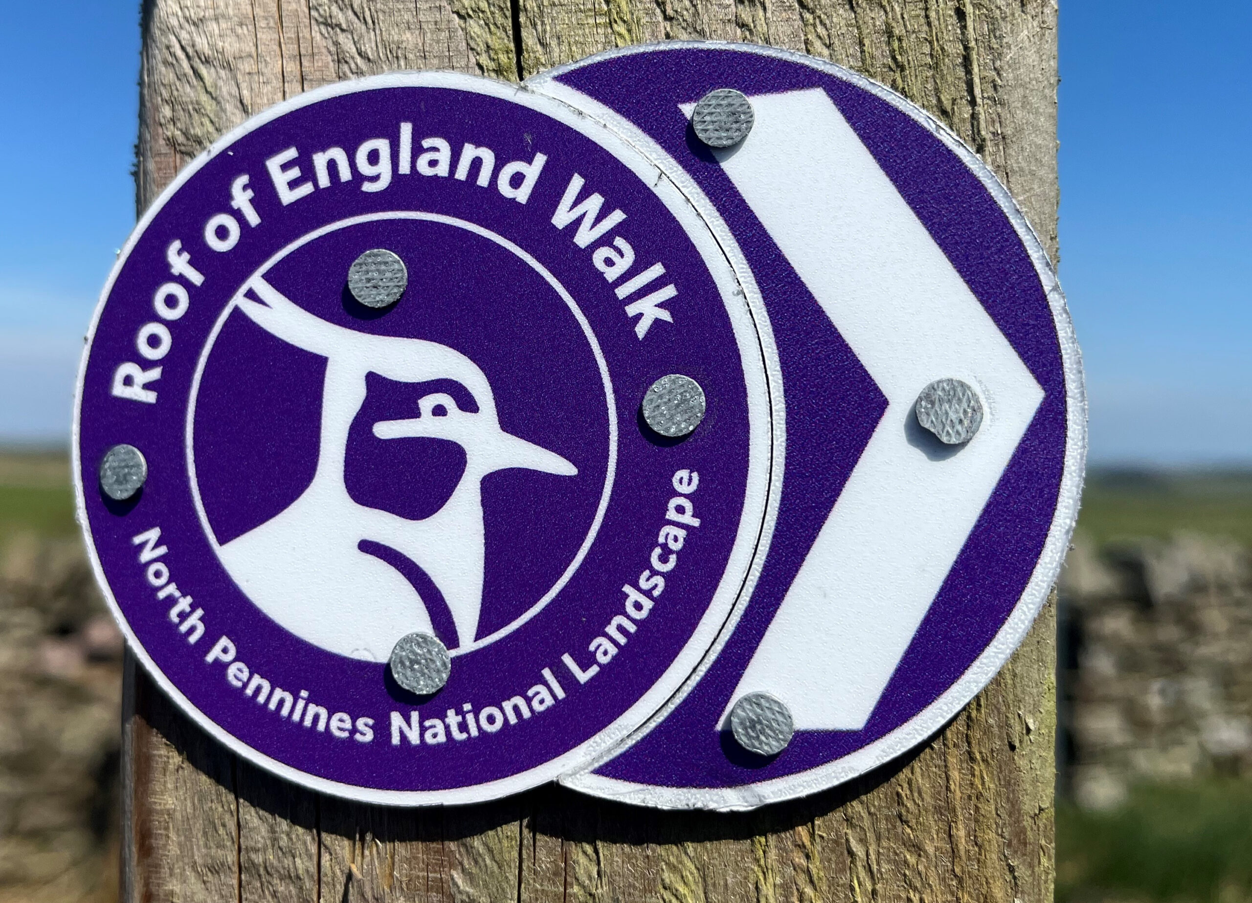
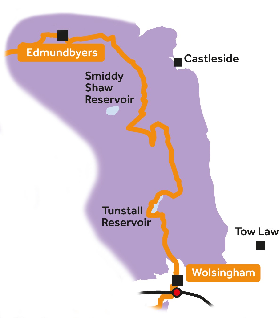
Leg 7Edmundbyers to Wolsingham

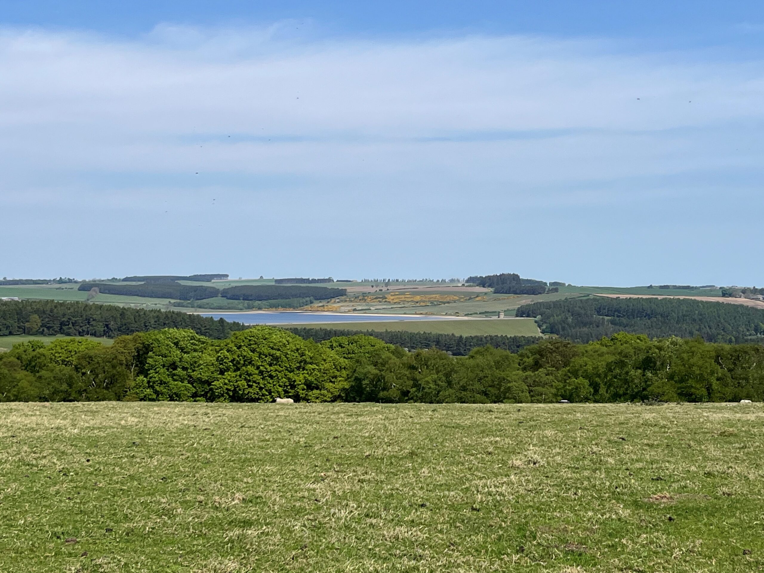
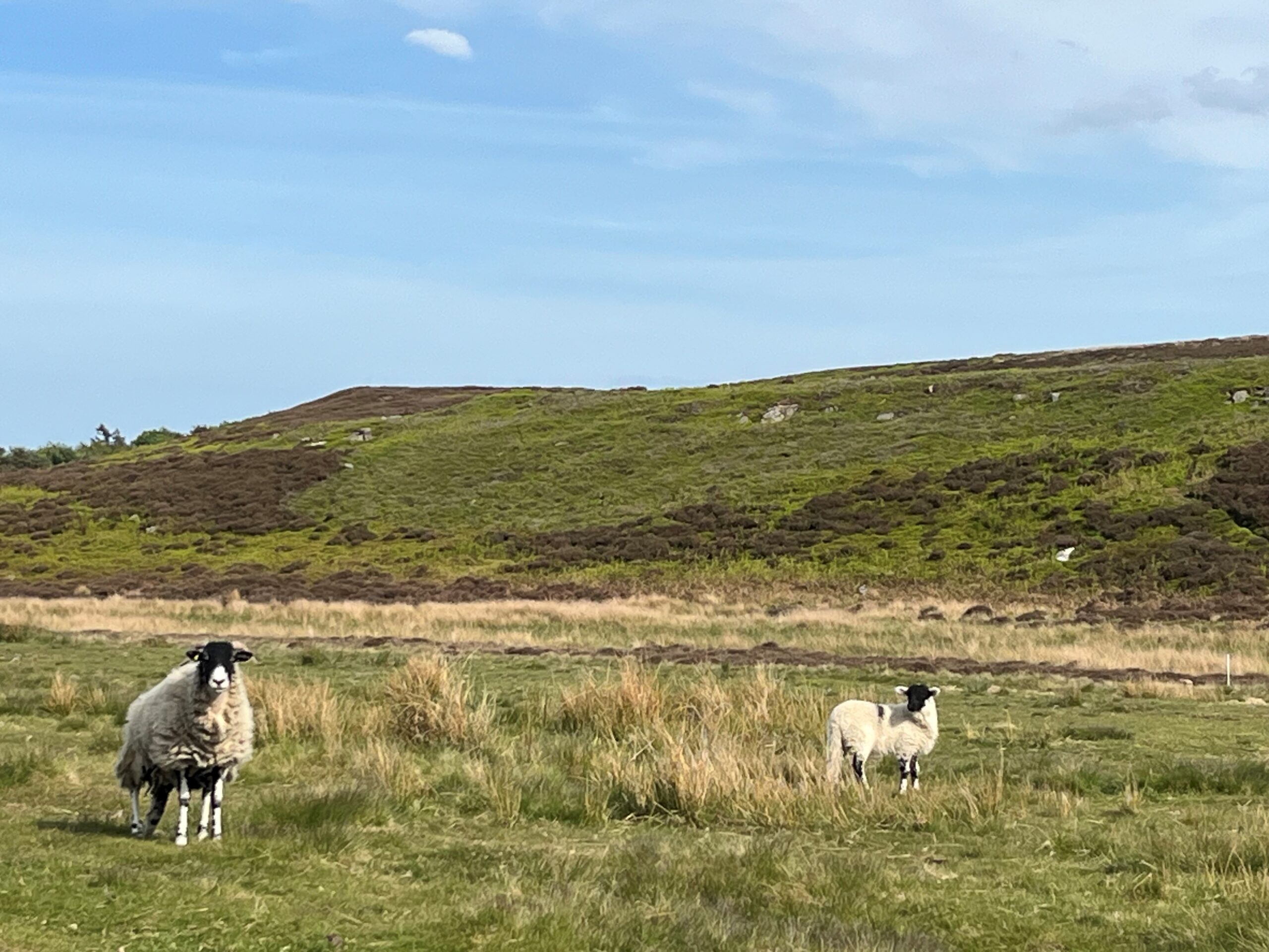
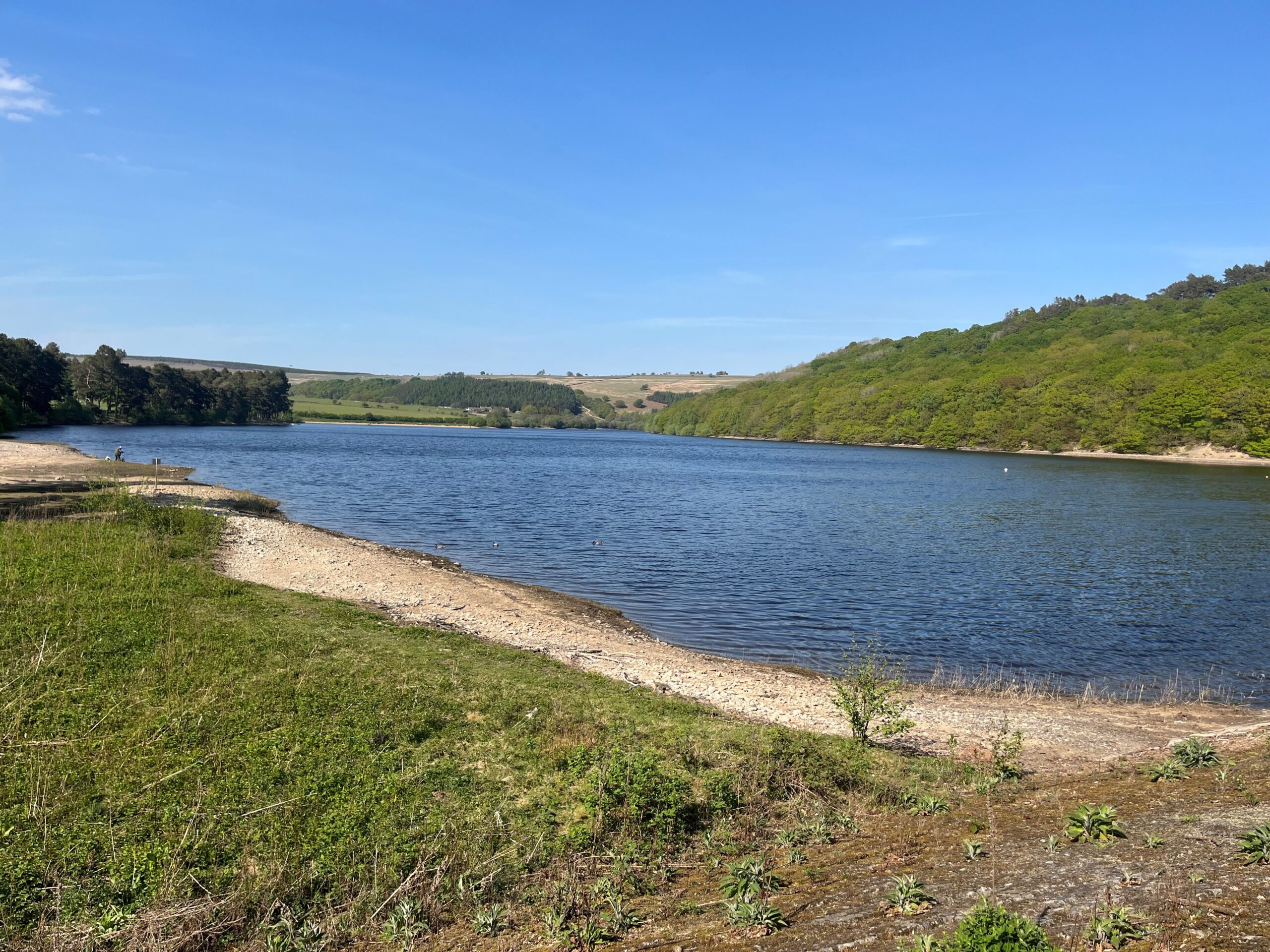
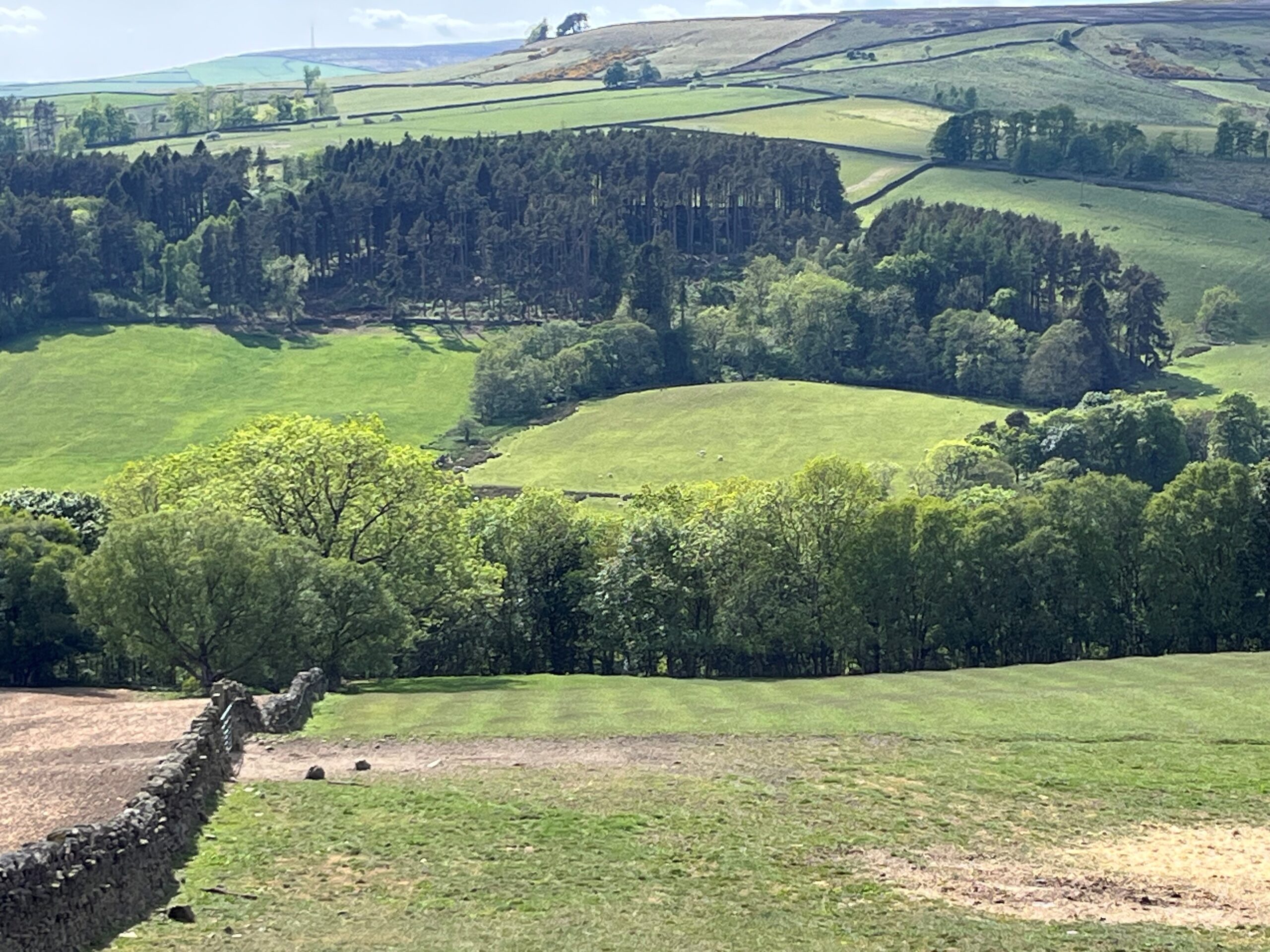
Leg 7 of the multi-day Roof of England Walk – a journey around the North Pennines. A varied day which will see you crossing the moors from the Upper Derwent Valley to Weardale. Wide-ranging landscape views will reward your efforts. Linear route – 23.5km.

Quiet roads

From Edmundbyers you will follow quiet roads, initially with great views of Derwent Reservoir – the second largest in Northumberland. After climbing up Nanny Meyer’s Incline and briefly following the Waskerley Way, a road section ends at Salter’s Gate. The wooded Tunstall Valley is then followed to the Weardale town of Wolsingham.

The first 4.8km of Leg 7 follows the same route as the Way of Light – one of six Northern Saints Trails.

Roof of England Walk

Leg 7 of the Roof of England Walk starts off in the Upper Derwent Valley at Edmundbyers (NZ 01747 50079 and ///tree.airbase.paintings) and takes you over the tops to Wolsingham (NZ 07628 37271 and ///mild.cello.panics) in Weardale. To follow this leg and the Roof of England Walk you will need to be able to map read/use a compass.

Turn-by-turn directions for this leg (including maps) are available as a pdf download. You can also download a GPX file to use on your own device (phone, watch or handheld).

Terrain

A fairly gentle day with some fairly long tarmac sections. Paths across fields and some stony tracks, gates and a few stiles. One section through woodland which can be very muddy. Undulating but no major climbs.

Starts at 253m with a high point of 356m. Over the day there is 402m of climb. Please make sure you take a paper map with you (at least as a backup). Leg 7 is covered by the following OS Maps: Explorer – 307 and OL31; and Landranger – 87, 88 and 92.

Responsible visiting

Please make sure you follow the Countryside Code (Respect, Protect, Enjoy – www.countryside-code.org.uk) and behave responsibly whist enjoying the Roof of England Walk.

Points of interest

1

Start

Start of Roof of England Walk Leg 7 – Edmundbyers to Wolsingham.

2

Way of Light

For the first 4.8km today the Roof of England Walk follows the same route as the Way of Light – one of six Northern Saints Trails. Keep a look out for these waymarks as far as the right hand turn into the woods a km beyond Haverley Lodge.

3

Derwent Reservoir

If you look to your left you will be able to see the Derwent Reservoir and its dam. The reservoir is within the North Pennines National Landscape and, after Kielder, it is the second largest reservoir in north east England. It supplies 28 million gallons (127 million litres) of water every day to the homes and industries of much of Wearside and South Tyneside.

4

Muggleswick Park

In the 13th century, Prior Hugh de Derlington enclosed the ground to your right, Muggleswick Park, to create a hunting park. He intended it to rival the Prince Bishop’s Stanhope Deer Park across the moors in Weardale – which you will encounter on Leg 9 of the Roof of England Walk.

5

Muggleswick

Muggleswick is a scattering of farmsteads. It is a designated Conservation Area with a high proportion of listed buildings and a deep historical association with Muggleswick Grange (a Scheduled Ancient Monument) and with the Priors of Durham. It has been in existence since at least the 13th century. Muggleswick is Old English which implies a settlement of some kind in Anglo-Saxon times.

6

Muggleswick Grange

‘Muglingwyc’ is recorded in the Boldon Book of 1183, when it was held by the Prior of Durham. Prior Hugh de Derlington built the grange in the mid 13th century – the ruins of which you can see from here. The Grange acted as the headquarters for what became an extensive sheep and cattle ranch in the 15th century.

7

All Saints Muggleswick

A church (separate from the Grange) stood in Mugglewick in the mid 13th century – probably on the site of the present church, which dates to 1728, with further rebuilding in the 19th century. The headstone surrounded by railings between the church and the lych gate is a memorial to the Mayor family, of Nanny Mayer’s Incline fame - more of this later.

8

Lych gate

The lych gate was installed in 1933/4 and is dedicated to the memory of Utrick Alexander Ritson and his wife Annie, who lived at Calf Hall, just a field away from the church. It is made out of seasoned battleship teakwood from HMS Powerful. See if you can spot the initials of their sons and daughters (who erected the gate) carved into the posts.

9

Roof of England Walk waymarks

The Roof of England Walk route stops following the Way of Light Northern Saints Trail route here. Turn right over a stile into the wood and follow Roof of England Walk waymarks all the way to Wolsingham.

10

Derwent Gorge

If you look down the valley from here you can see the steep-sided Derwent Gorge and Muggleswick Woods National Nature Reserve. The reserve was designated in 1992 and sits between Muggleswick and the village of Castleside to the west. It contains some of the finest ancient oak woodland in North East England and also some important semi-natural grasslands and lichen assemblages.

11

Lapwings

The field on your left along the North Horsleyhope Burn is alive with displaying lapwings in the late spring to early summer (mid-March to June). Lapwings (also known as peewits) have a characteristic wavering, tumbling flight and are easily recognised due to their black-and-white appearance and a splendid crest. They like wet grasslands like this where they can find abundant insect food.

12

Nanny Mayer's Incline

Nanny Mayer’s Incline was named after a lady who ran a tavern by the side of the railway which was built over the moors to take ironstone and limestone to the Consett works. The ‘self-acting’ incline is three-quarters of a mile in length at a gradient of one in fourteen. The carriages travelling down were attached to a cable which pulled those on the opposite rail up.

13

Waskerley

Waskerley is a tiny hamlet with its origins in the railway. The Stanhope & Tyne Railway opened in 1834 to transport limestone from the Stanhope quarries. It was bankrupt by 1840 and the Derwent Iron Co. took it over to continue the supply of limestone to the Consett iron works. It reopened in 1845 and the railway village developed. When the line closed in 1969 much of the village was abandoned.

14

Waskerley Way

You are following the Waskerley Way – a 15.5km railway path from just above Stanhope in Weardale to the urban fringe of Consett. It is shared use so look out for cyclists and horse riders. You might also encounter cyclists tackling the Sea to Sea (C2C) cycle route – the UK’s most popular challenge ride from Cumbria to Tyneside (137 miles).

15

Burnhill Nature Reserve

This stretch of the Waskerley Way goes through the Burnhill County Wildlife Site. If you’re walking through between June and August you may be lucky enough to spot small pearl-bordered fritillary, dark green fritillary and dingy skipper butterflies. Several species of orchids also find a home here.

16

Longburnford Quarry natureReserve

Longburnford Quarry is a small heathland and wet grassland site which is important for rare butterflies and reptiles. It is owned and managed by Durham Wildlife Trust and is only 1ha in size. It was initially acquired to conserve the small pearl-bordered fritillary – the rarest butterfly in County Durham. There isn’t any access to the site but butterflies can be seen from the roadside verge.

17

Tunstall Reservoir

Tunstall Reservoir is managed by Northumbrian Water Ltd to help regulate water levels in the River Wear. The dam was finished in 1879 and a £3m investment programme to maintain and improve resilience at the site was completed in 2024. The earth embankment construction, across the valley of Waskerley Beck, is 310m long and 25m high.

18

Backstone Bank Wood

Backstone Bank Wood is an ancient woodland – meaning that it has been continuously wooded since at least 1600. It is designated as a Site of Special Scientific Interest (SSSI). It was coppiced in the 15th century to produce charcoal for iron smelting. Charcoal gives out twice the heat of its equivalent weight in wood when burnt, providing the high temperatures needed for iron smelting.

19

Fishing on Tunstall Reservoir

Fishing at Tunstall is reserved for members of the Tunstall Fly Fishers Club and operates on a catch-and-release basis after the first fish is caught. The 66-acre reservoir is home to both stocked rainbow trout and wild brown trout.

20

Baal Hill Wood

The woodland you can see below you is Baal Hill Wood, a Durham Wildlife Trust nature reserve and a designated Sit of Special Scientific Interest (SSSI). Directly below where you are standing is the site of the Bishop’s Oak, an impressive veteran tree thought to be over 400 years old. It is a surviving ancient woodland relic and was owned in the 14th century by the Durham Prince Bishops.

21

Godric’s Well

At the bottom of the hill turn left and walk 20m to visit Godric’s Well. It was built in the 18th century and is associated with St Aelric and St Godric, who lived here as hermit and trainee around 1106-7. Godric was a pedlar, merchant and sailor. After visiting Lindisfarne he decided to become a hermit and met Aelric, a former Durham monk, who taught him the hermit life here in Wolsingham.

22

Wolsingham

Wolsingham sits at the confluence of the River Wear and Waskerley Beck and was one of the first market towns in Co. Durham. The first mention of the town is in Reginald of Durham’s Life of Godric in which he says the saint lived here 1106-7. In 1667 the town’s market charter was confirmed. There was a major ironworks in the town between 1864 and 1984.

23

Finish

Finish of Roof of England Walk Leg 7 – Edmundbyers to Wolsingham.

Introduction
01