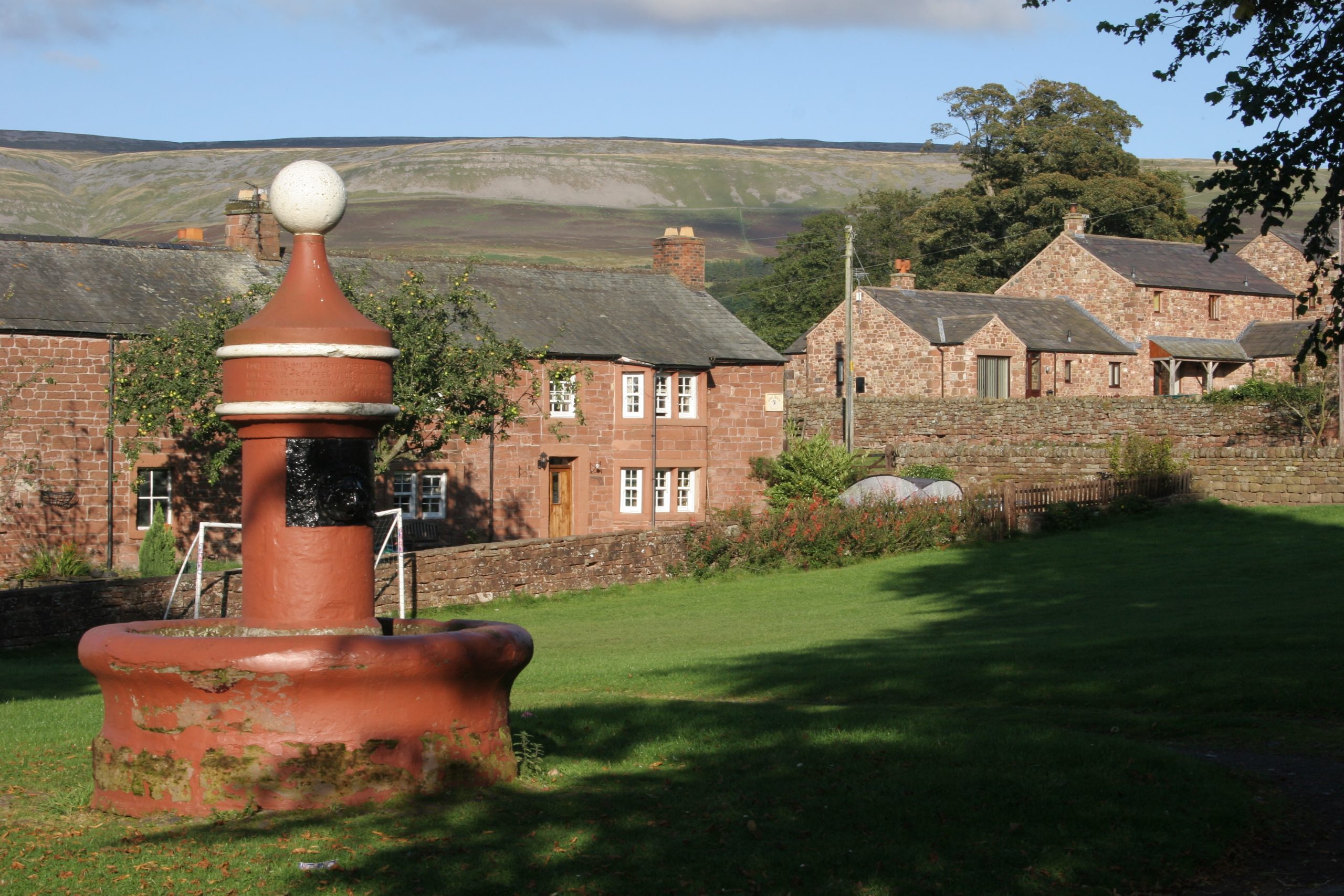
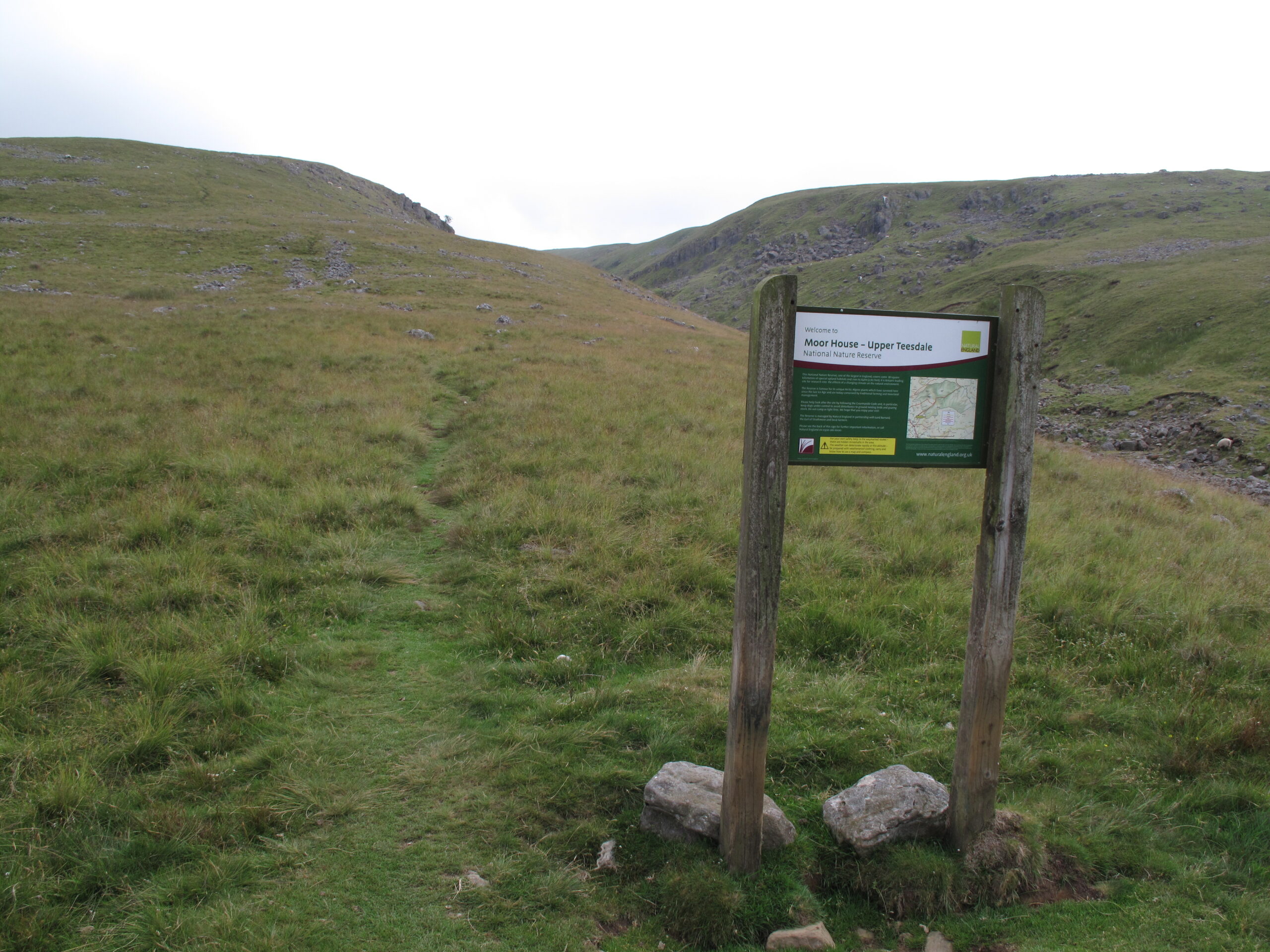
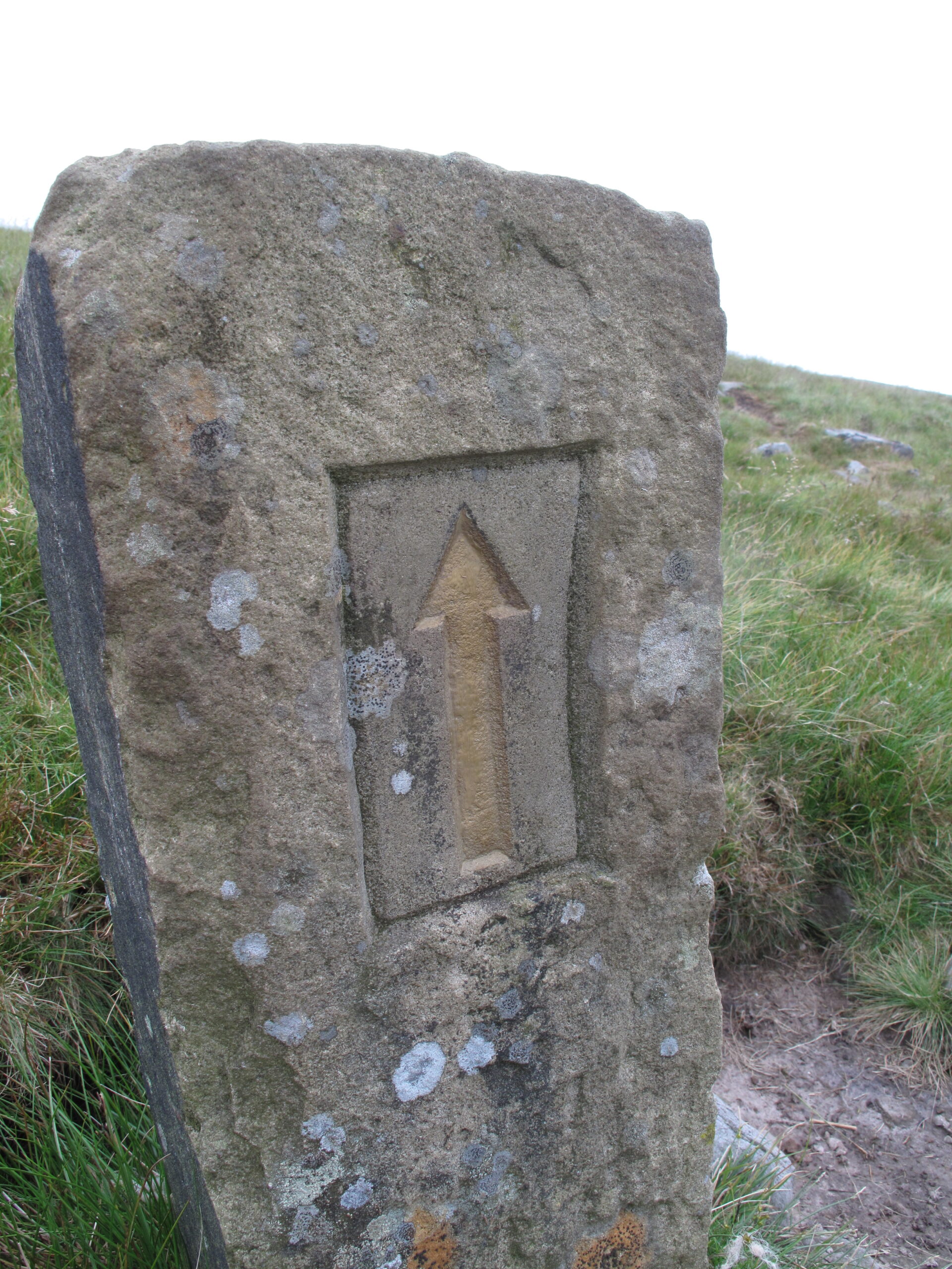
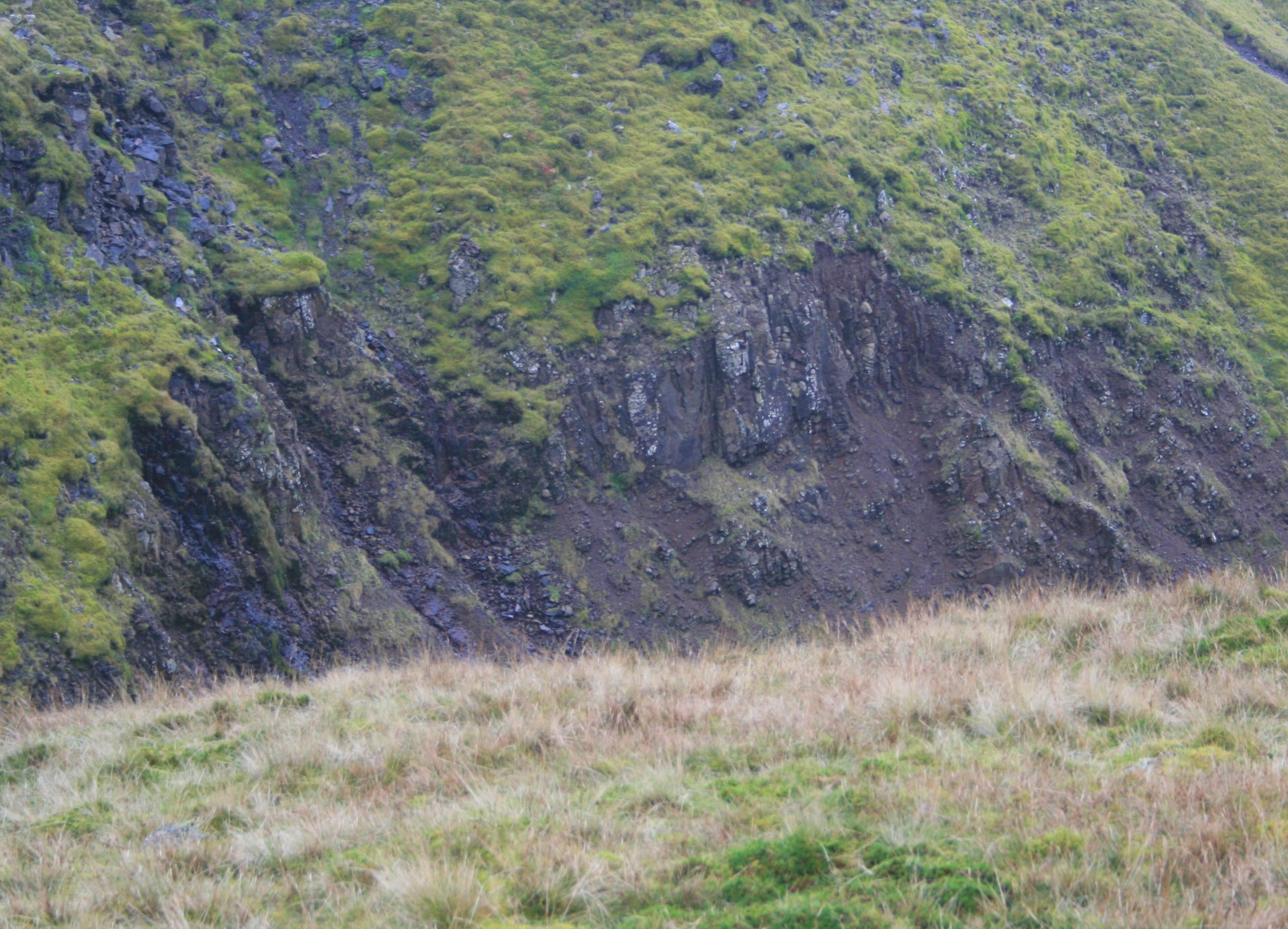
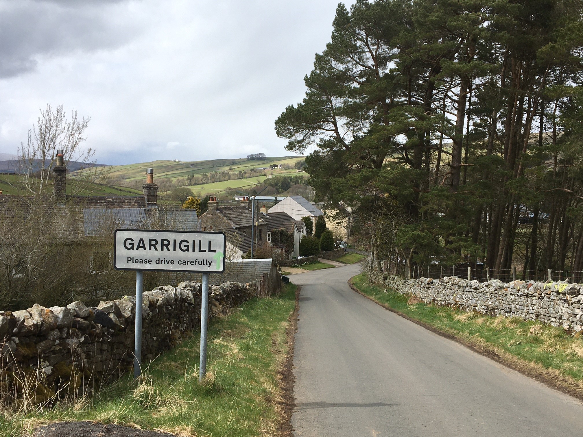
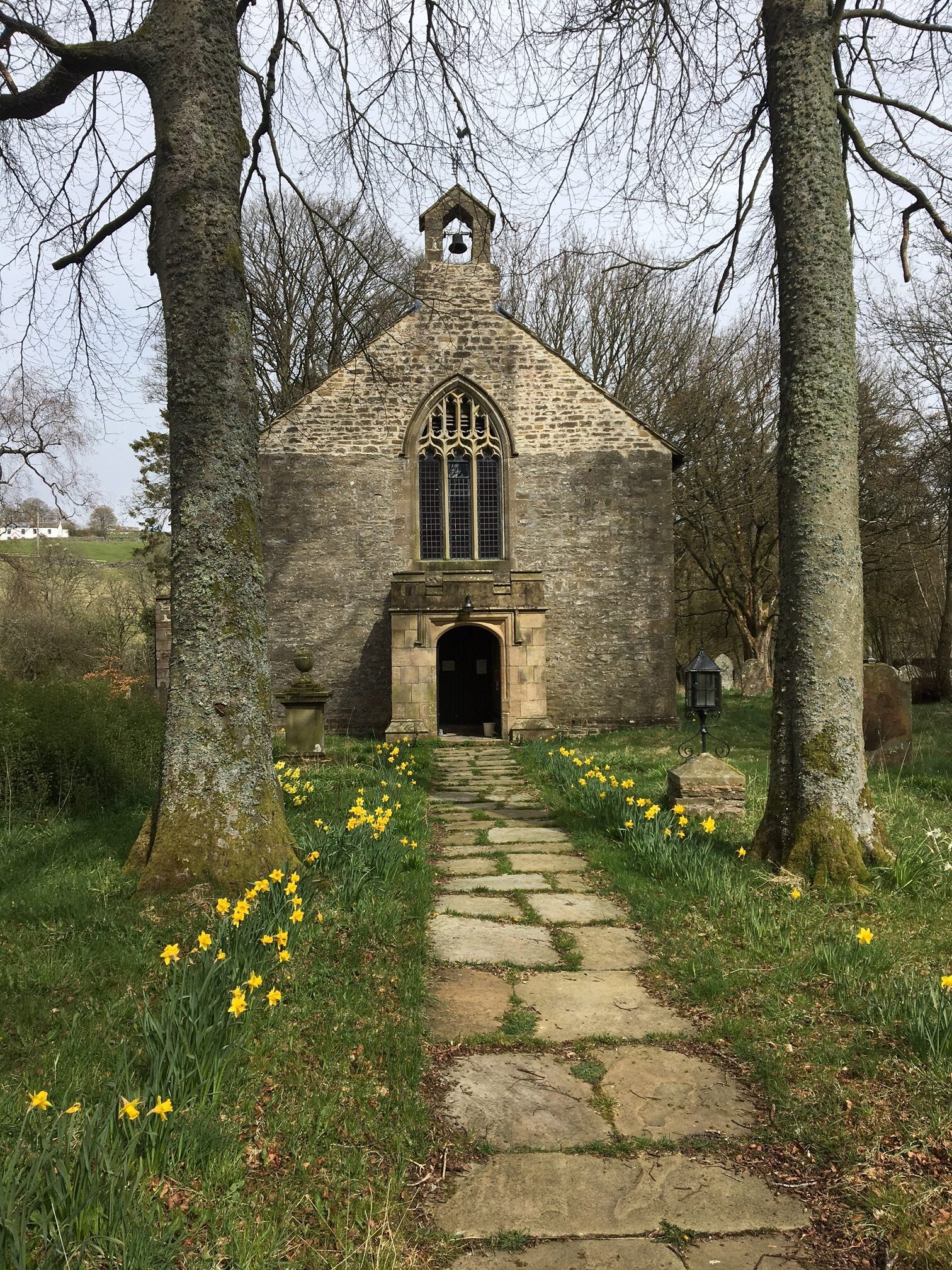
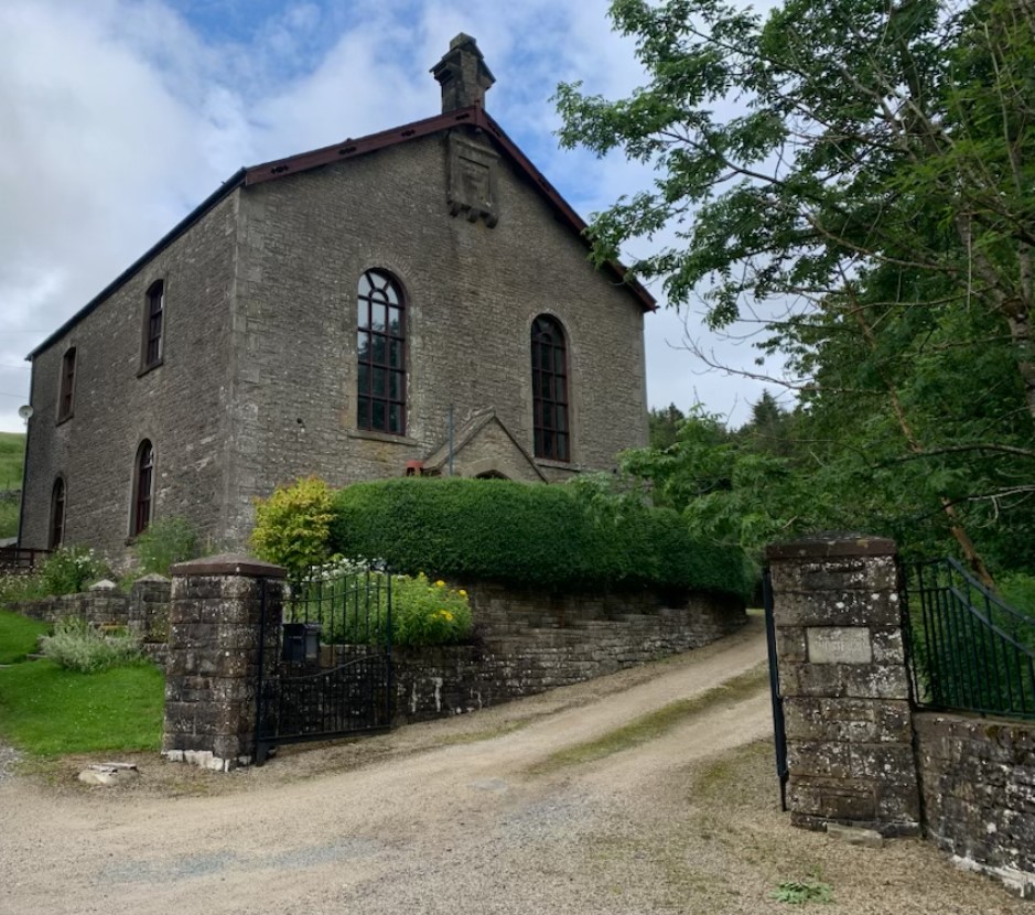
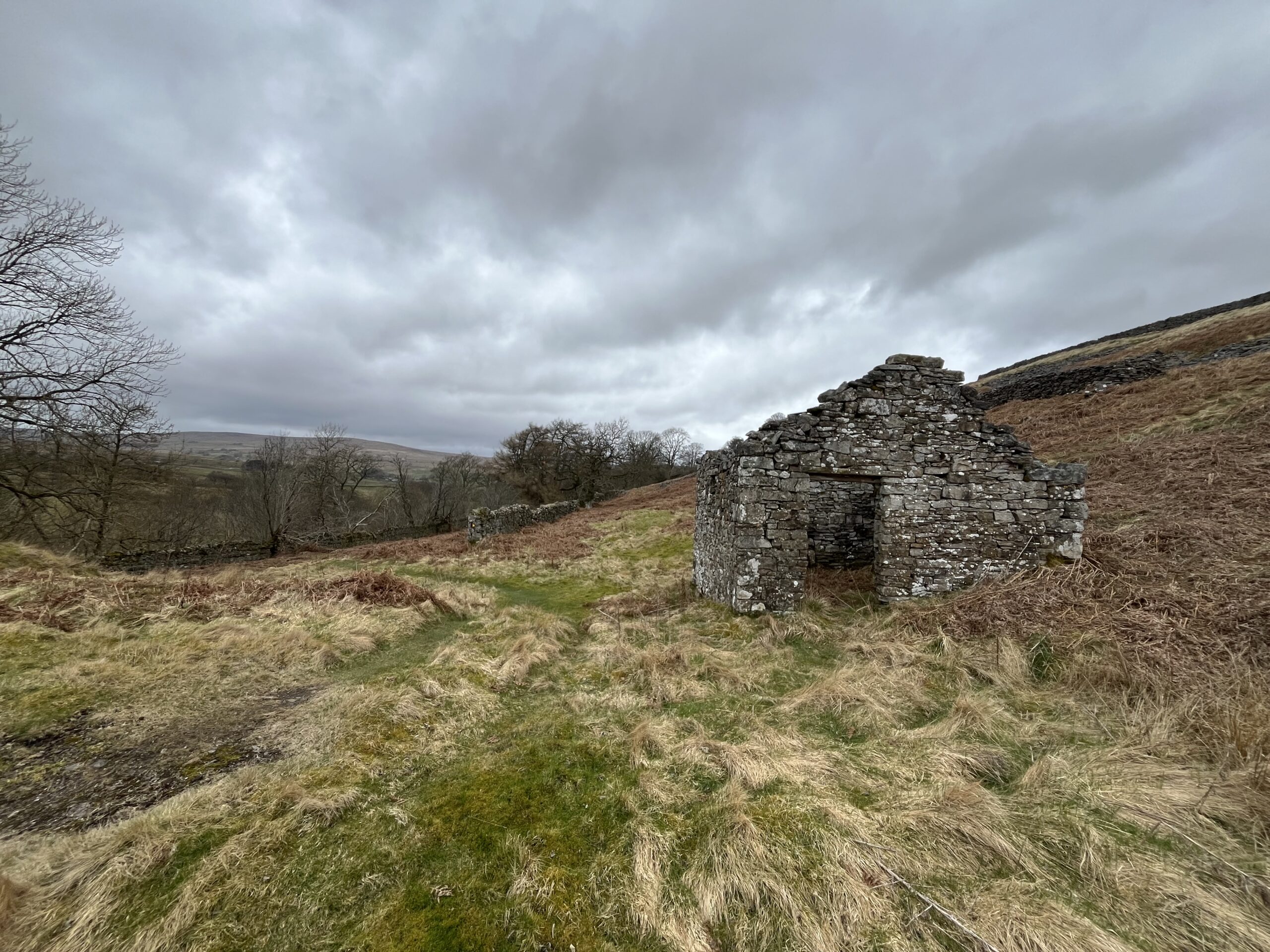
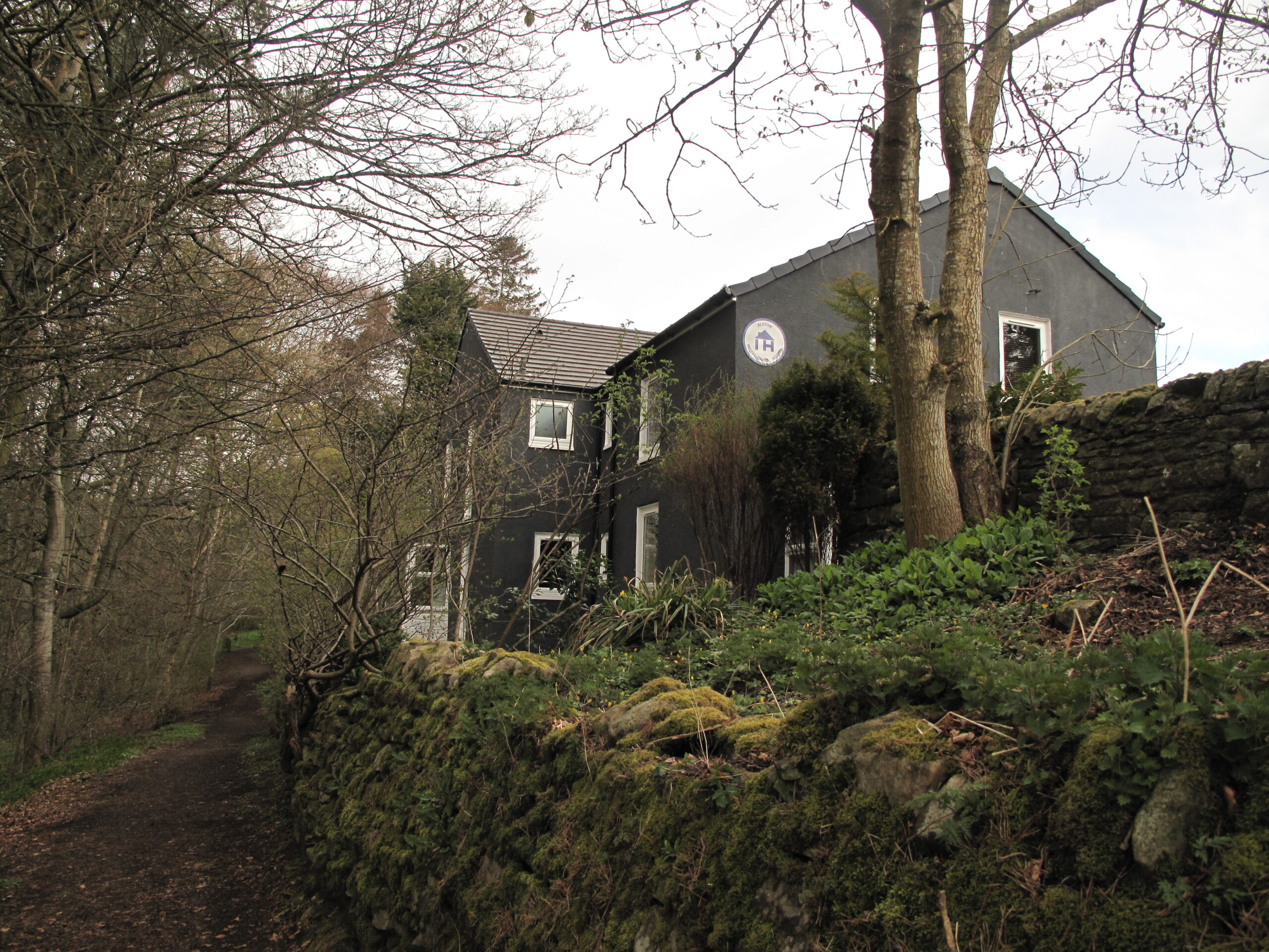
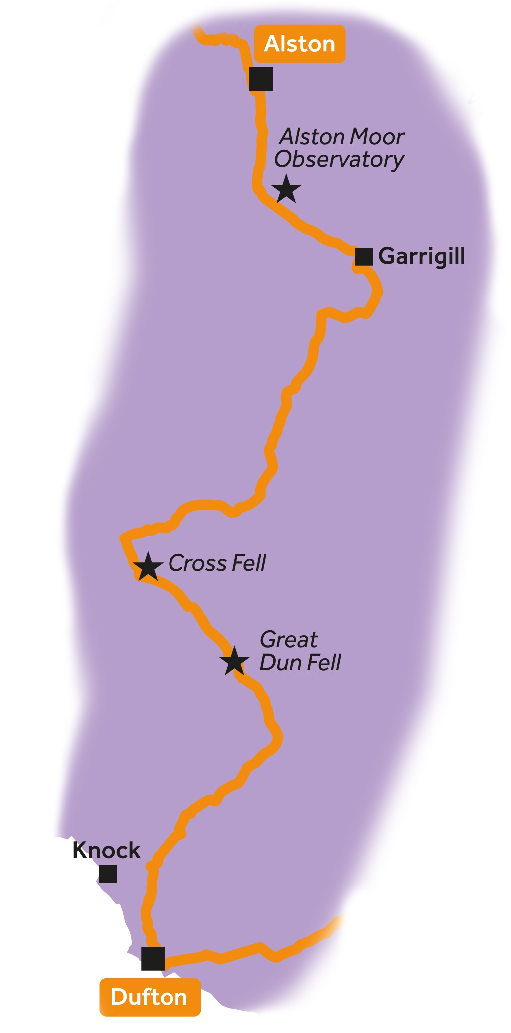
Leg 2Dufton to Alston

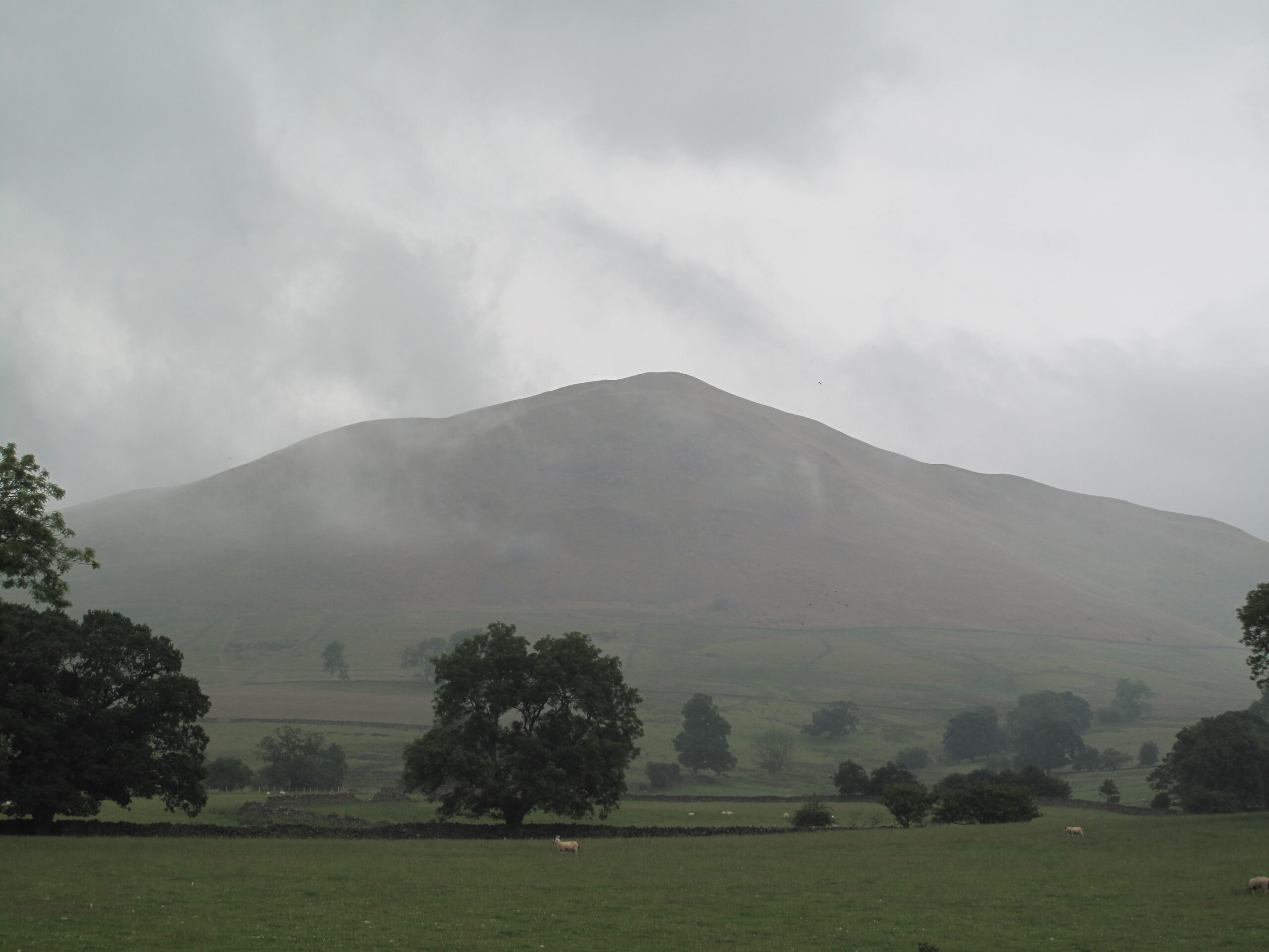
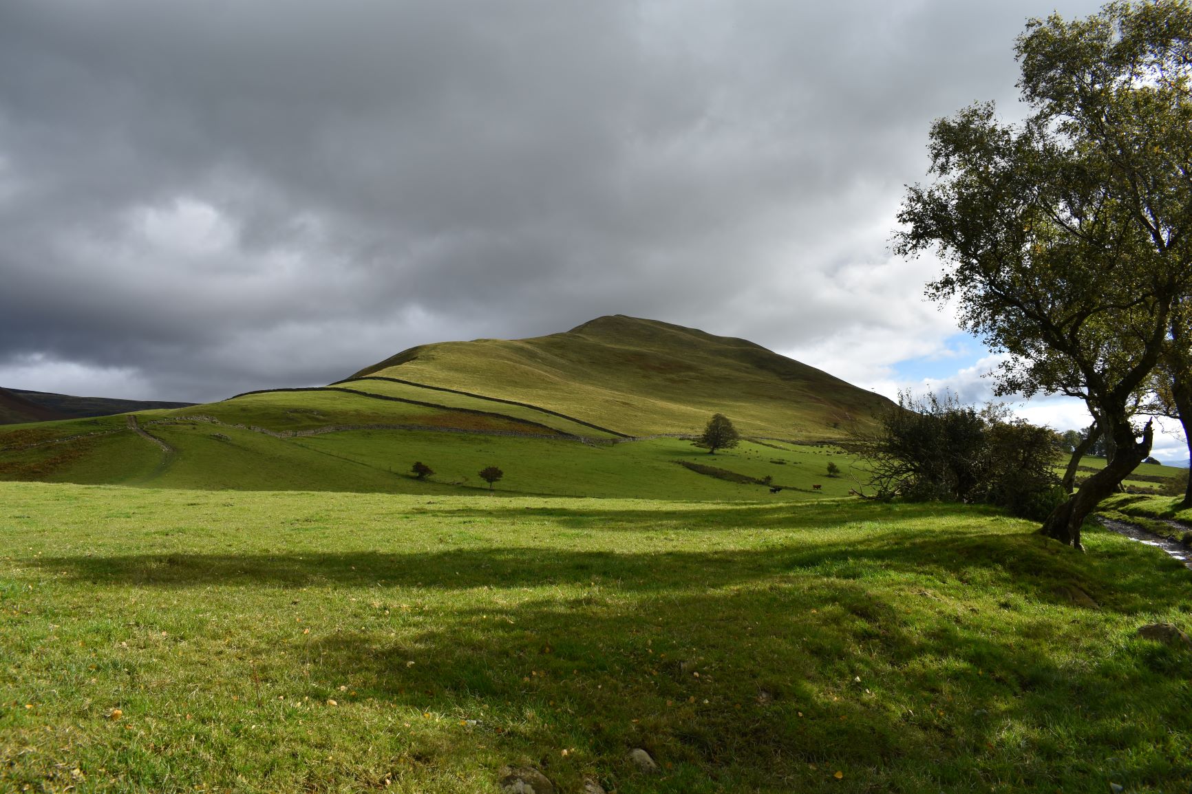
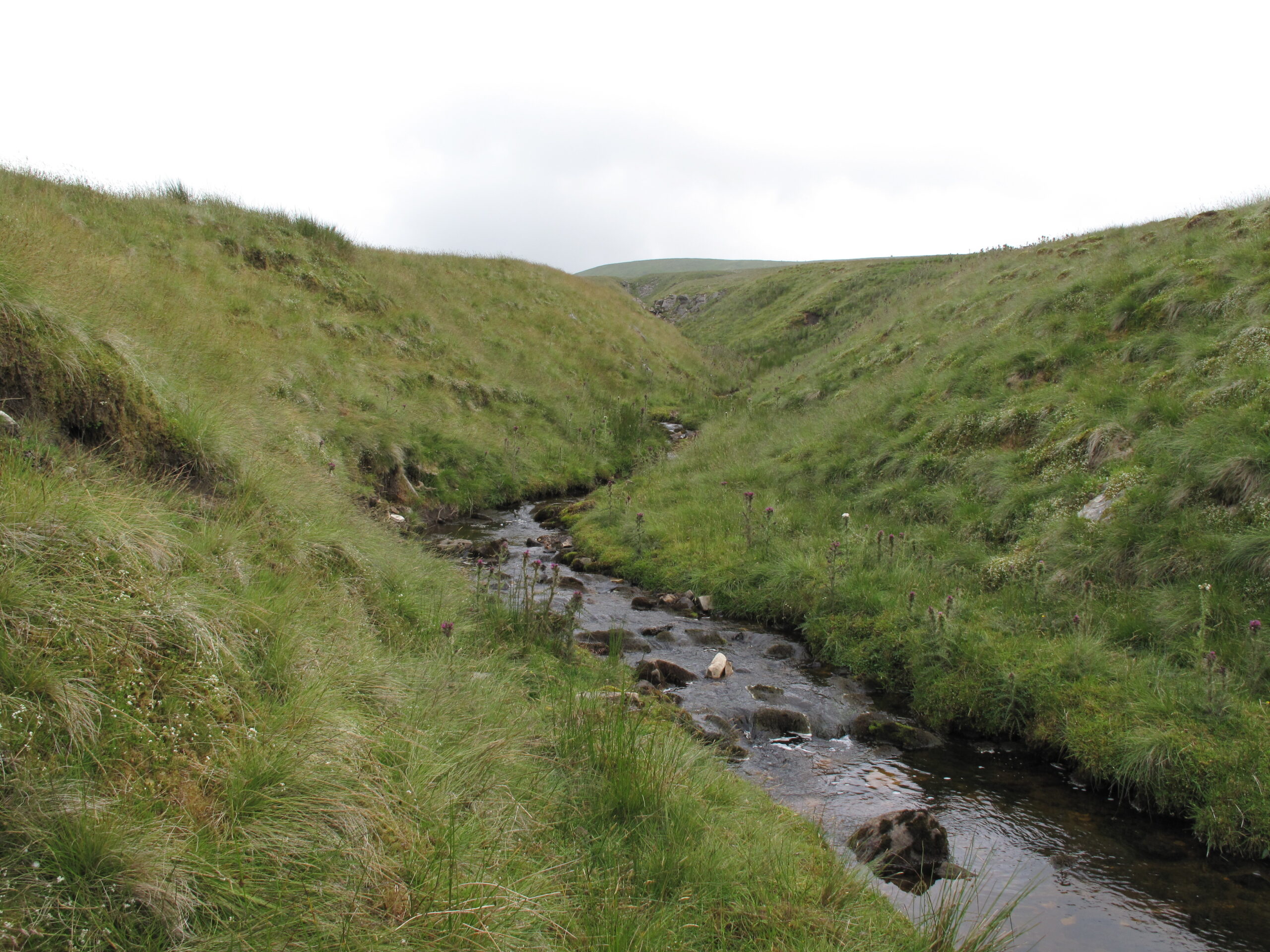
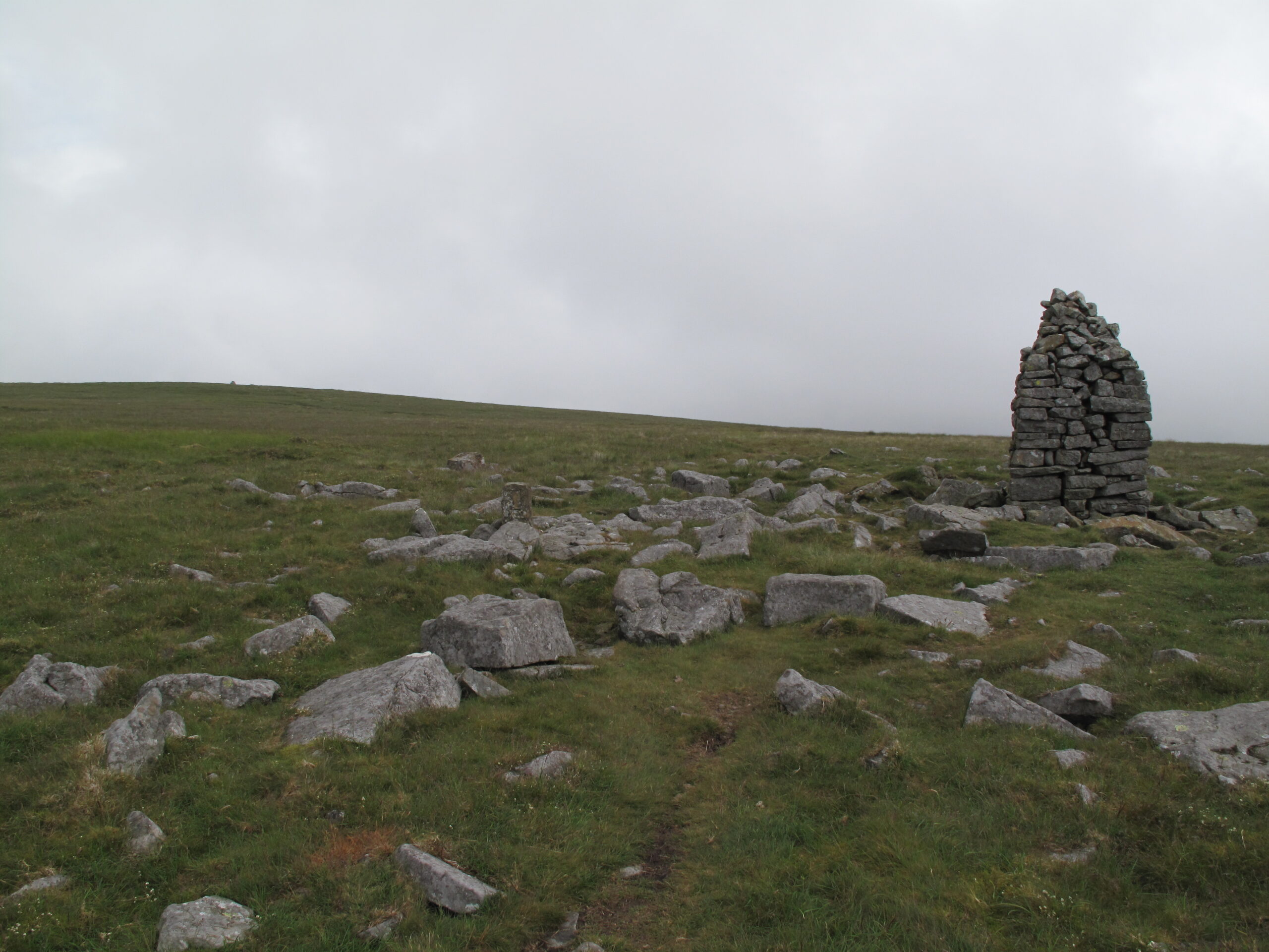
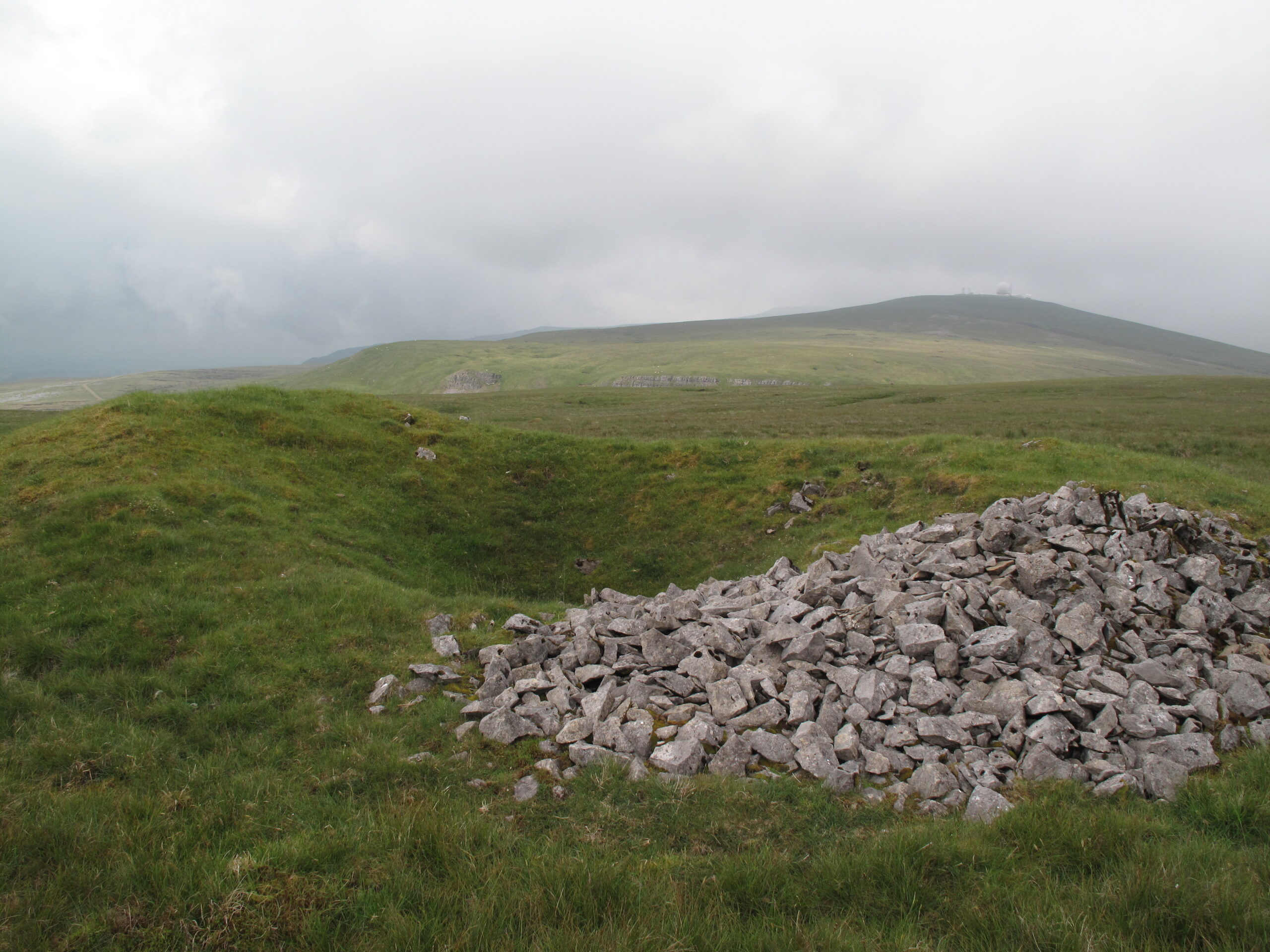
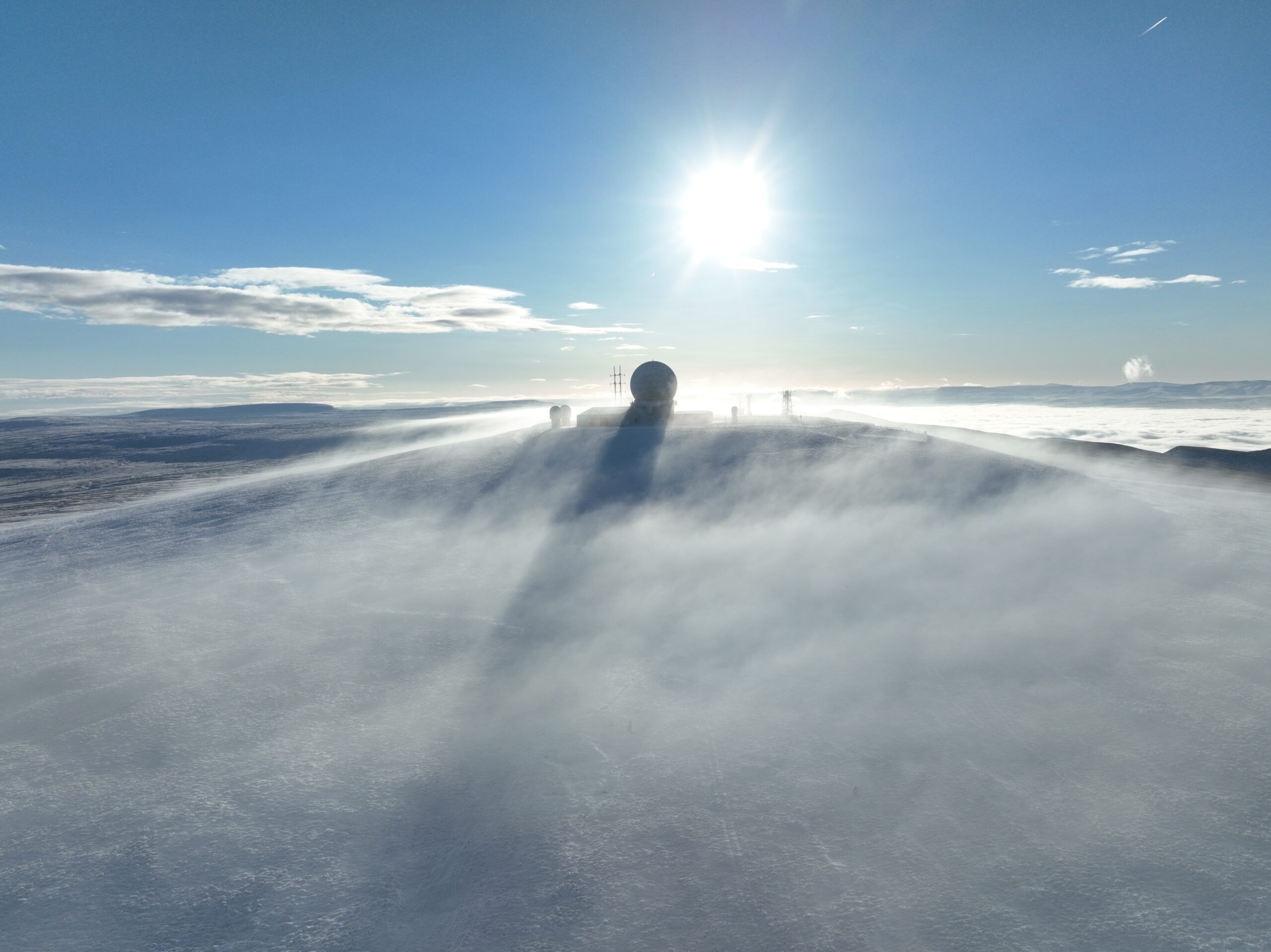
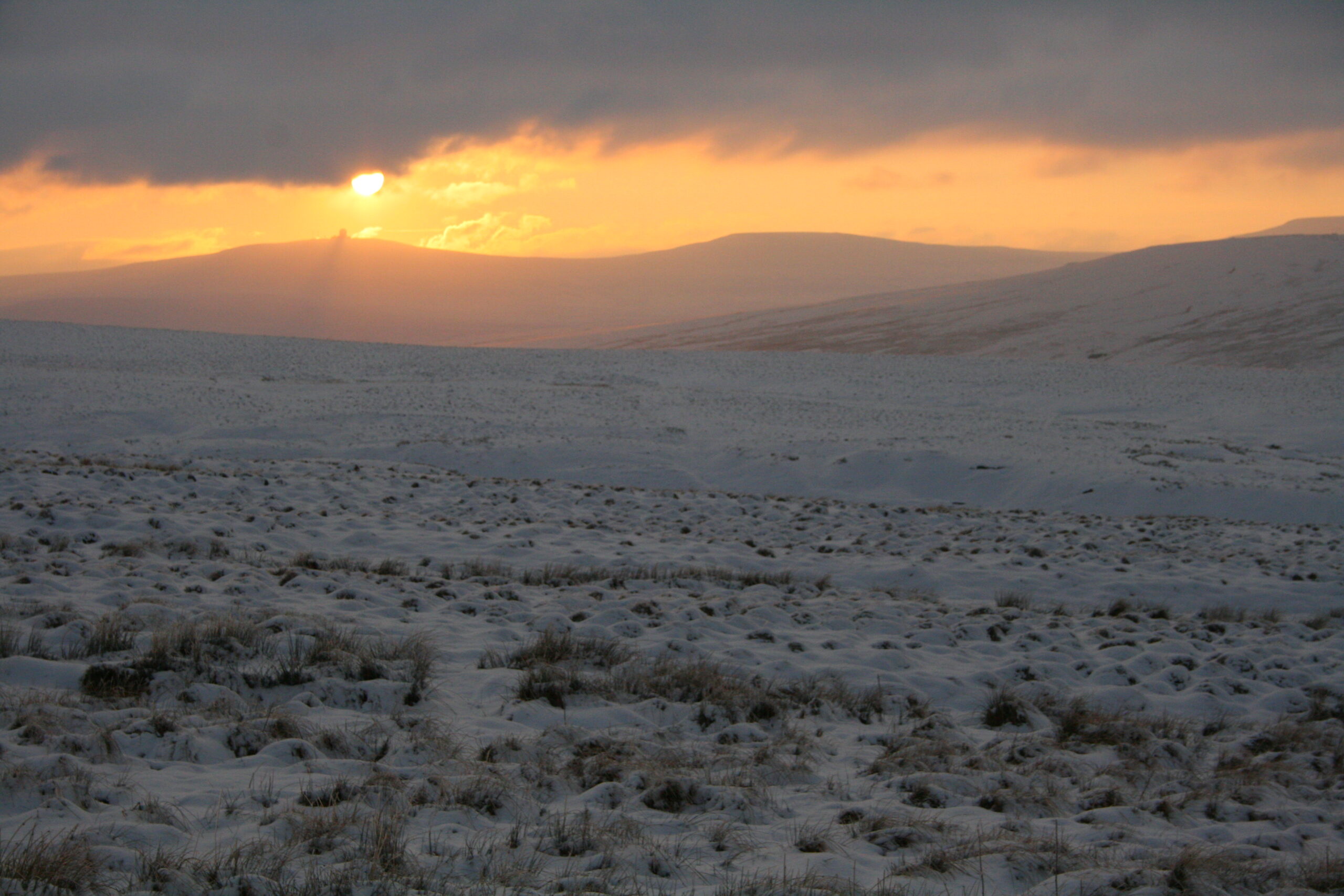
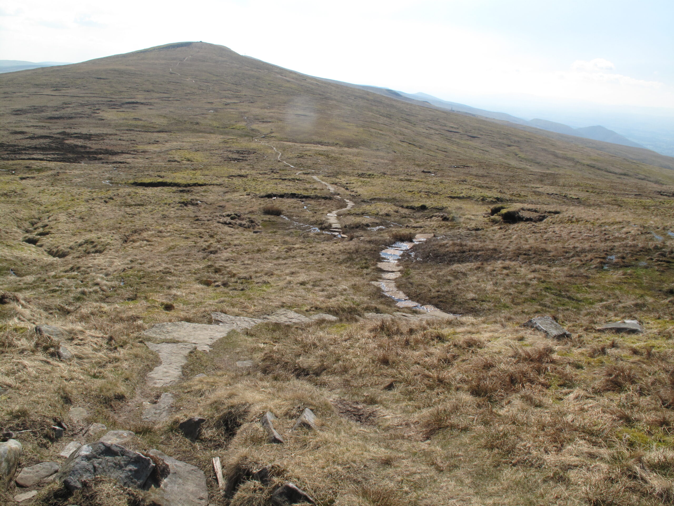
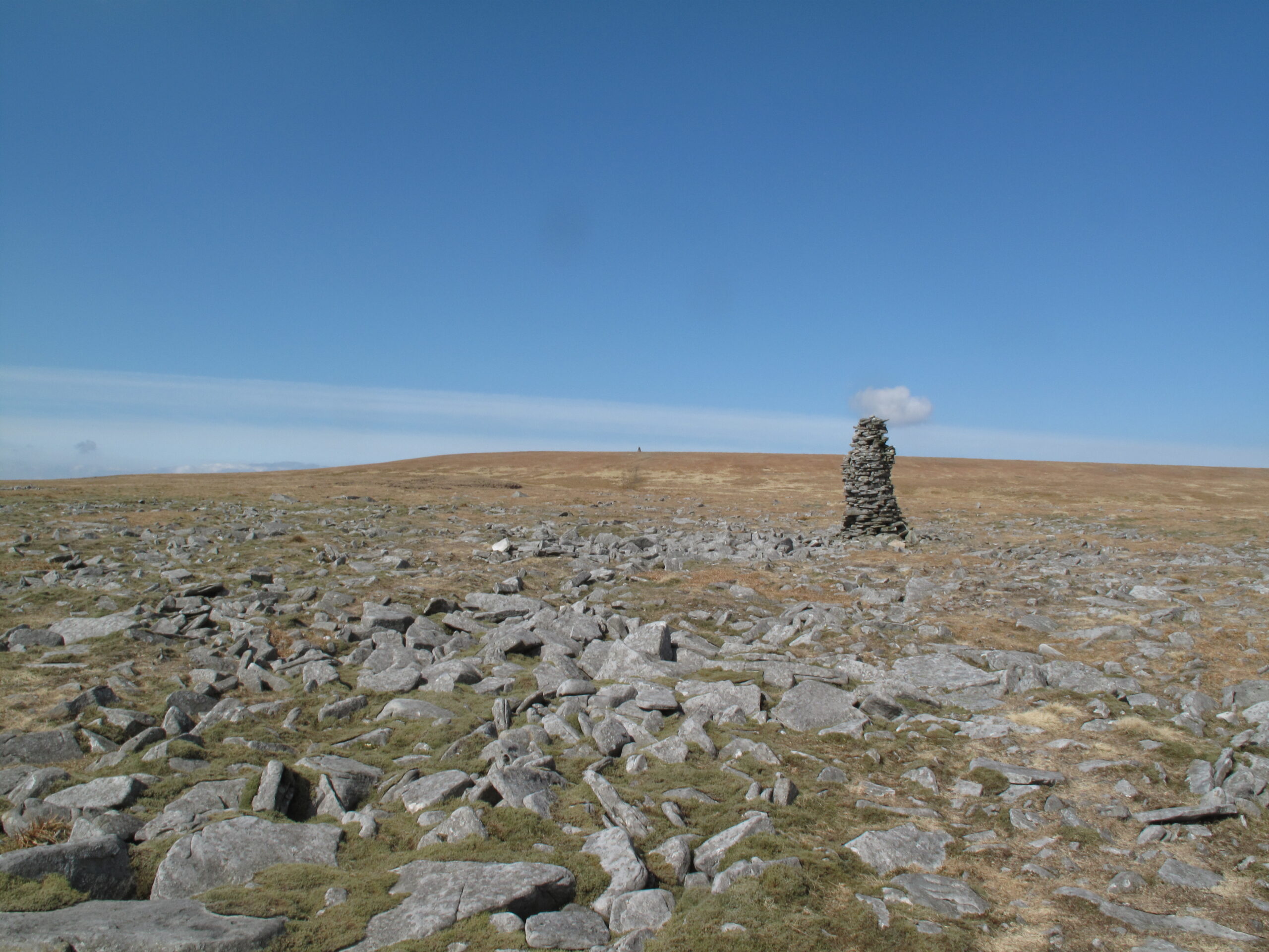
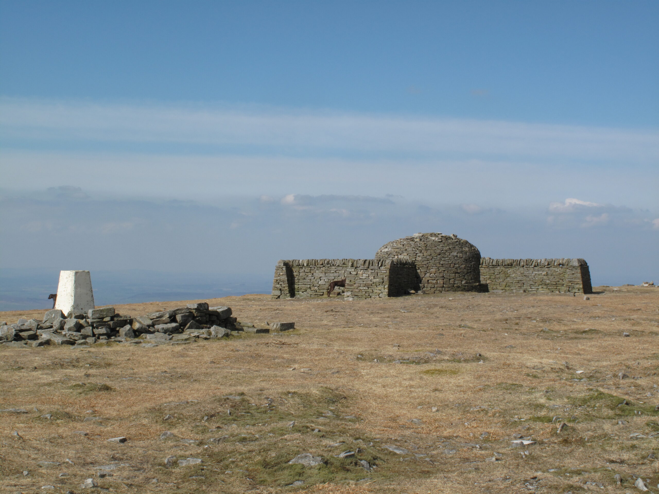
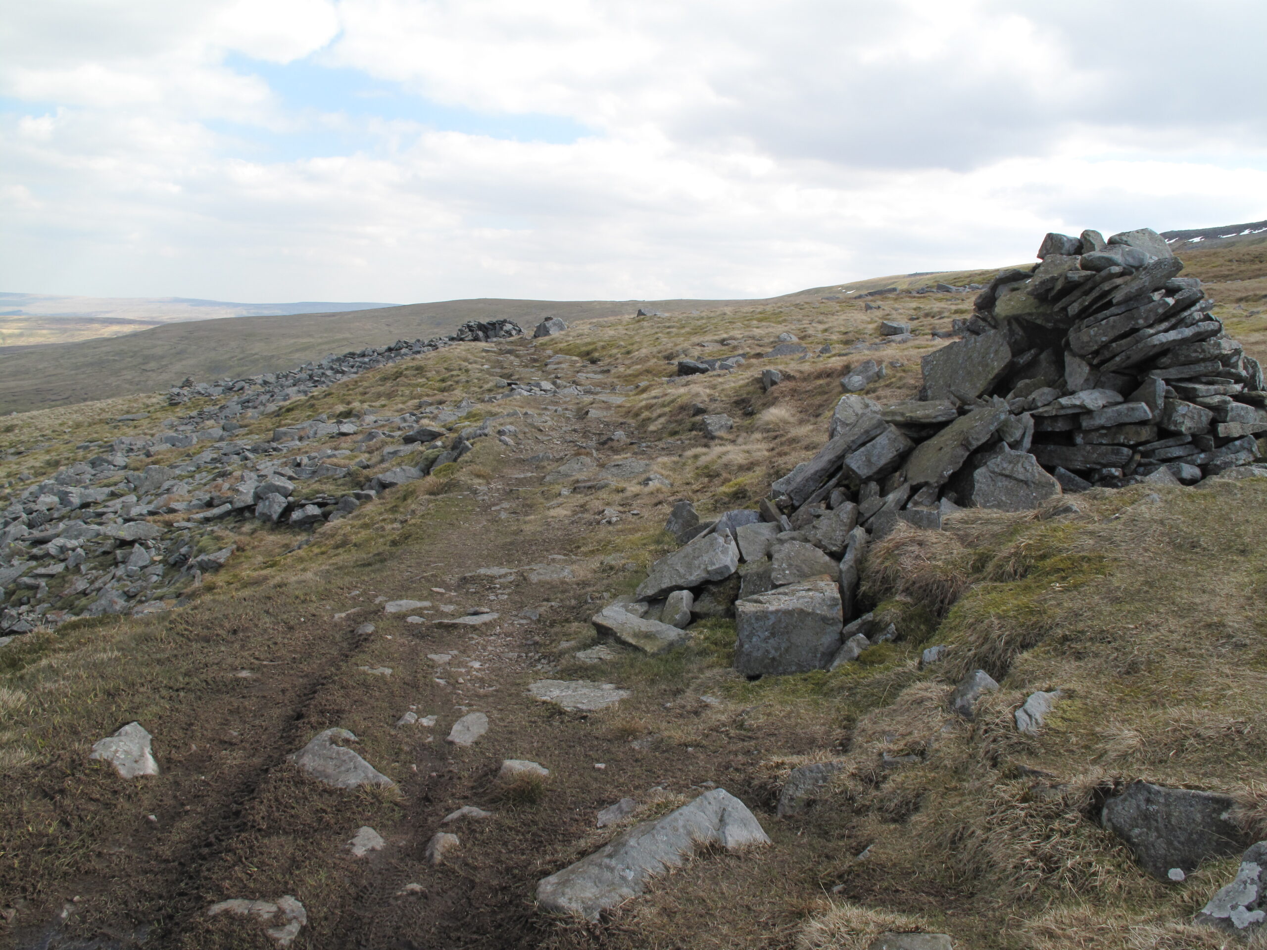
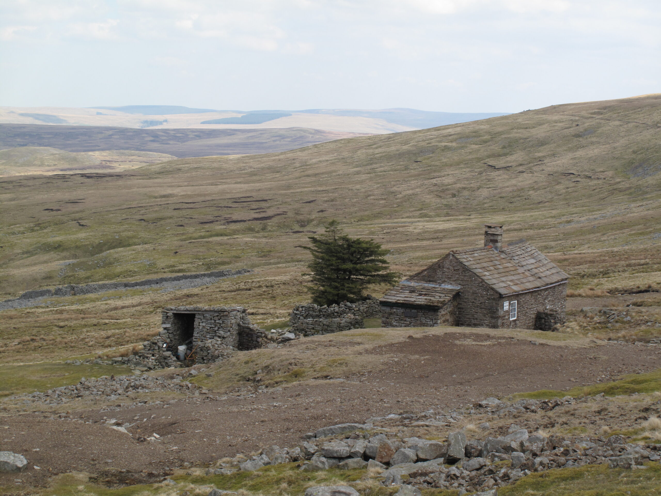
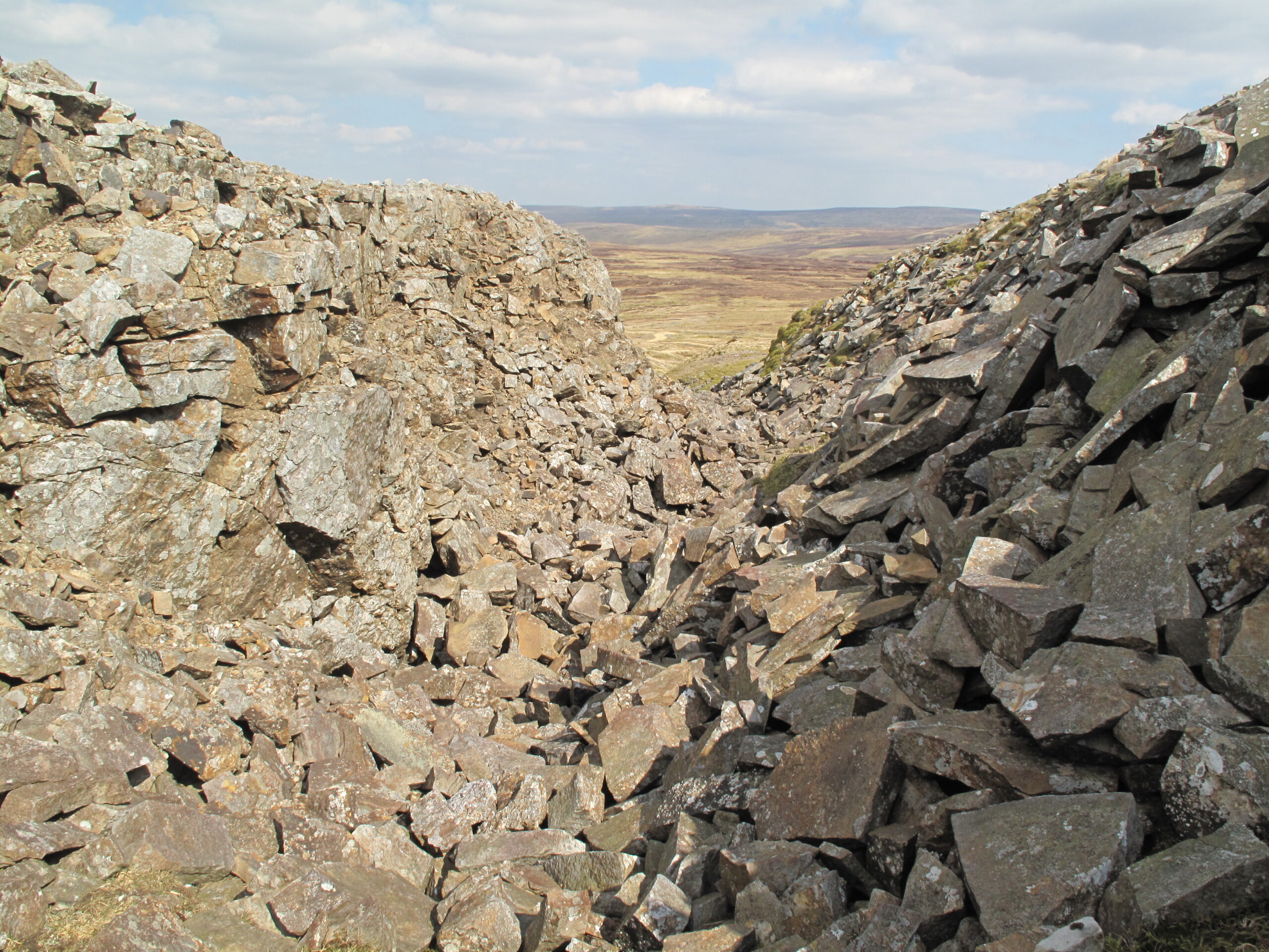
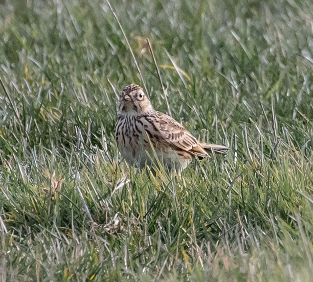
Leg 2 of the multi-day Roof of England Walk – a journey around the North Pennines. The longest day on the route traverses the trio of Great Dun Fell, Little Dun Fell and Cross Fell. The tough climbs are rewarded with panoramic views. Linear route – 31km.

Red sandstone

The day starts in Dufton with its distinctive, red sandstone-built houses. A relentless climb up the Pennine escarpment to Knock Fell follows and then, onwards, on an exhilarating traverse of the famous North Pennines trio of Great and Little Dun Fell and the mighty bulk of Cross Fell.

Highest hill

On a clear day, the views across the Eden Valley to the Lake District fells, and to the Solway Forth and Scotland beyond, never fail to inspire. After the flat-topped Cross Fell, at just under 3,000ft (893m) the highest hill on the Pennine Chain, the trail takes you on a gradual descent to Garrigill and the South Tyne Valley.

From Garrigill riverside paths along the South Tyne will deliver you to Alston – at the heart of the North Pennines National Landscape.

Tough day

Undeniably Leg 2 is a tough day. At just under 20 miles and over 3,300 feet of ascent it is the hardest day of the whole Roof of England Walk – but the views and the sense of achievement will more than make up for your exertions.

Roof of England Walk

Leg 2 of the Roof of England Walk follows the route of the Pennine Way National Trail between Dufton (NY 69073 25030 and ///circle.reference.includes). and Alston Youth Hostel (NY 71686 46100 and ///wipe.headlines.passport). To follow this leg and the Roof of England Walk you will need to be able to map read/use a compass.

Turn-by-turn directions for this leg (including maps) are available as a pdf download. You can also download a GPX file to use on your own device (phone, watch or handheld).

Terrain

A long and tough day on rough, muddy, and boggy moorland paths. Sections of stone flags on the moor tops. Boulder fields across exposed mountain tops. Stone tracks and muddy riverside paths, with lots of stiles and gates.

Significant sections of Leg 2 are across exposed and windswept areas of moor, bog, and mountain tops. You will need to be confident over this terrain and be able to navigate in mist/poor visibility, using map and compass work.

Starts at 189m with a high point of 893m. Over the day there is 1,030m of climb. Please make sure you take a paper map with you (at least as a backup). Leg 2 is covered by the following OS Maps: Explorer – OL19 and OL31; and Landranger – 91 and 86.

Responsible visiting

Please make sure you follow the Countryside Code (Respect, Protect, Enjoy – www.countryside-code.org.uk) and behave responsibly whist enjoying the Roof of England Walk.

Points of interest

1

Start

Start of Roof of England Walk Leg 2 – Dufton to Alston.

2

Dufton

If you visit the green in the centre of Dufton notice the distinctive red fountain. It was gifted to the village by the London Lead Company in 1858. This Quaker-owned lead mining company made many improvements to Dufton, building houses for mining families and installing piped water.

3

Pennine Way National Trail

Leg 2 of the Roof of England Walk route coincides with the Pennine Way National Trail. The trail starts in Edale, in the Peak District, and finishes 431km (268 miles) later at Kirk Yetholm, in the Scottish Borders. A quarter of the route is within the North Pennines National Landscape. The Pennine Way was Britain’s first National Trail and in 2025 the trail marked its 60th anniversary.

4

Dufton Pike

The conical hill off to the right of the route is Dufton Pike. Like the other ‘pikes’ along the Pennine escarpment it is made up of slates and volcanic rocks. Keep an eye out for pale, streaky rocks underfoot. These are the rocks which make up the pikes and are known as ash-flow tuff, they formed in explosive volcanic eruptions around 450 million years ago.

5

Wainwright's Pennine Journey

Notice that the route of Wainwright’s Pennine Journey route bears left through a wooden bridle gate here. In poor weather some walkers choose to follow this, re-joining the Pennine Way on the far side of Cross Fell, as an alternative route. Thereby avoiding some of the higher, exposed ground.

6

Hurning Lane

Hurning Lane is of medieval origin and is an ancient drove road. The hedgerow trees and hawthorn bushes flanking it are likely to date from the period of enclosure in the 16th or 17th centuries.

7

Dufton Microgranite

This stretch of wall contains blocks of orange rocks. This is Dufton Microgranite, which formed 400 million years ago from molten rock. It was injected into rocks that now form Dufton Pike, and solidified underground. After millions of years of erosion, it is now exposed. It contains crystals of quartz (pale grey and glassy), feldspar (pinky orange) and mica (silvery and flaky).

8

Cosca Hill

The smooth, sweeping slopes of Cosca Hill to your right are underlain by glacial sand and gravel. These were deposited in the last ice age by meltwater flowing through channels under the ice. When the ice melted, the sand and gravel were left as ridges and mounds.

9

Clapper Bridge

Notice the clapper bridge over the Great Rundale Beck. Many clapper bridges are thought to be ancient. The slabs are made of limestone, which must have been brought here from the sequence of Carboniferous rocks higher up the escarpment.

10

Knock Pike

Glance down the course of the Swindale Back and you will see Knock Pike, one of several conical hills along the Pennine Escarpment. It is made from ancient layers of volcanic ash, deposited around 450 million years ago on the bottom of a vast ocean which separated Scotland from England and Wales.

11

Swindale Beck

Here, limestone, shale and sandstone beds are exposed in the banks of the beck. Look for the way these different rock types influence the shape of the landscape. The more weather-resistant limestone and sandstone beds form flat-topped benches in the hillside, while the shale weathers easily for form the steep slopes between them.

12

Moor House-Upper Teesdale National Nature Reserve

Just after you cross the Swindale Beck you will enter one of the largest National Nature Reserves in England. Moor House-Upper Teesdale is famous for its unique Arctic-Alpine plants which have survived in this part of northern England since the last Ice Age. The reserve encompasses an almost complete range of upland habitats typical of the North Pennines – from hay meadows to summit heaths.

13

Fossils

You can choose to descend carefully to the beck if you want to examine the rocks, as there are some good fossils in the limestone. When you are finished, return to the track, and follow the Pennine Way up the hill. The route is indicated by yellow arrows on stone markers.

14

Sinkholes

Here the path passes some small sinkholes, also known in the North Pennines as ‘shake holes’. Limestone dissolves gradually in rainwater, forming joints in the rock which slowly widen into cave systems. The overlying soil and rock debris falls into these openings, forming a depression on the surface.

15

Whin Sill

Look for the brown vertically-fractured rocks on the far side of Swindale Beck. These are exposures of the Whin Sill. The hot magma that formed the Whin Sill altered the surrounding rocks as it pushed its way between them. The baked rocks beneath the sill are visible in the streambed. Do not climb down into the stream here as the banks are steep and slippery.

16

Knock Hush

The long, straight valley you are following is known as a hush. It was created partly by the controlled release of water on a slope to remove surface material in the search for mineral veins. The remains of a reservoir, dam and sluice gate that supplied the water are visible at the top of the hush. Look for the Scar Limestone and overlying sandstone in the sides of the hush.

17

Geology and vegetation

You will pass through a row of sinkholes as you move up the hillside. These mark the top of the Four Fathom Limestone. The rich, green grassland on the limestone contrasts with the coarse grasses and rushes on the sandstone and shale, showing the influence of geology on vegetation.

18

The Heights

As you cross the summit of Knock Fell you will pass through a large boulder field. The coarse sandstones here are highly abrasive and are ideal for making millstones to grind grain. Some blocks have ripple marks, showing that they were formed in shallow water or beaches. Many also contain fossilised tree roots, indicating that the sand was sometimes above water and covered in vegetation.

19

Shallow shafts

There is clear evidence of mining on the north side of the Heights, where circular ‘doughnuts’ of spoil from two mine shafts are visible. The pits are workings on a mineralised fault, and a white coating of the mineral baryte can be seen on some of the Great Limestone blocks in the spoil.

20

Dunfell Hush

As you climb the bulk of Great Dun Fell you will cross Dun Fell Hush. This is one of the largest in the whole of the North Pennines. The excavation follows the course of Dun Fell Vein, which was worked for galena (lead ore) and limonite (iron ore). It has been estimated that 300,000 tons of material were excavated during the exploitation of the hush.

21

Great Dun Fell

The Great Dun Fell ‘golf ball’ is a North Pennines landmark. The golf ball is a radar station, operated by the National Air Traffic Services. It is a crucial part of the air traffic control infrastructure in northern England. The tarmac service road is well-known in road cycling circles as a (virtually) traffic-free climb all the way from the Eden Valley to 848m.

22

Little Dun Fell

The trail follows the crest of the North Pennine escarpment. The tops of the hills, e.g. Little Dun Fell, are formed from sediments laid down in the tropical seas and river deltas of the Carboniferous Period (360-300 million years ago). These rocks have eroded away to reveal the older rocks beneath – slates and volcanic rocks. Beyond the flat bottom of the Eden Valley lies over red sandstones.

23

Source of the River Tees

Just to the east of Crowdundle Head is an area of boggy moorland on the eastern flanks of Cross Fell – known as Tees Head. This is the headwaters, aka the source, of the River Tees. The water flows through at least 10 streams before joining together to properly form the river, upstream from Cow Green Reservoir. You will encounter the Tees again on Leg 10 of the Roof of England Walk.

24

Cross Fell plateau

Cross Fell, at 893m (2,930 feet), is the highest mountain in the Pennines. It is the highest point on the Roof of England Walk route and is, in fact, the highest hill in England – outside of the Lake District. It is a bulky mountain with an extensive, boulder strewn, summit plateau. If conditions are cloudy then using a map and compass to help you navigate across it, is necessary.

25

Cross Fell summit and shelter

As you approach the summit of Cross Fell you will notice that there is a white trig point and a large drystone wall-built shelter. The structure was restored by local craftsman, Laurie Lambeth, to mark the 50th anniversary of the Pennine Way (in 2015). It is a cross-shaped structure, which gives protection from the wind – which can attack walkers from any direction.

26

Wainwright's Pennine Journey

A stone cairn marks the spot where Wainwright’s Pennine Journey route re-joins the Roof of England Walk/Pennine Way route – after having climbed up the Pennine escarpment from Kirkland, in the Eden Valley.

27

Greg's Hut

Greg’s Hut was originally a mine shop, which provided lodgings for miners working in the nearby Katelock Lead Mine in the 1800s. It is now maintained as a mountain shelter/refuge by the Mountain Bothies Association. The origin behind the name is that it was initially restored (in the early 1970s) in memory of John Gregory, who was killed in a climbing accident in the Alps in 1968.

28

Cashwell Hush

The route cuts through a dispersed mining landscape around the Black Gut and Cash Well Spring area. The most obvious feature is the Cashwell Hush, an opencut and long hush on the Cashwell Vein. It was worked from before 1778 and some of the remains are thought to date from the 18th century. A small smelting mill was built near the level in c1800, and the mine was worked until c1921.

29

Skylarks

The skylark is one of our most celebrated birds – not least in Shelley’s 1820 poem, ‘To a Skylark’. The skylark will be an almost constant soundtrack for walkers tackling the Roof of England Walk in the summer months. It is renown for its display flight, vertically upwards, singing constantly. Despite apparent commonness, its population, in the UK, declined by 11% between 1995 and 2022.

30

Primitive Methodist Chapel

In the 18th and 19th centuries, nonconformist religion flourished in the North Pennines and Garrigill was very much part of this trend. Just before you reach the road notice the Primitive Methodist chapel on the right hand side. It was built in 1825 and apparently rebuilt in 1856. The present chapel is dated 1885, and is a private house.

31

Garrigill

As you walk through Garrigill take some time to look at the buildings. Most date to the eighteenth and nineteenth centuries and are made from hard sandstone. Many originally had thatched roofs, although these have been entirely replaced by sandstone flags and slate. Also note the striking decorative banding that adorns the houses overlooking the green.

32

St John's Church

Just before you reach the green in Garrigill, notice St John’s Church on the right hand side of the route. Volunteers from Cumbria Wildlife Trust have surveyed the churchyard as part of their Wildlife in Sacred Places Project. Over 30 plants have been recorded and the grass is left to grow around the church which provides cover for small mammals, such as hedgehogs, weasels, and shrews.

33

Beldy Methodist Chapel

As you emerge onto the road notice the former chapel on the other side. The Methodist chapel at Beldy was first established in 1790 and apparently rebuilt in 1814. The present chapel, which is a private house, was built in 1859.

34

Drystone walls

Just beyond the farm buildings at Low Craig take a closer look at the drystone wall on the right hand side of the path. Notice that the stones are encrusted with an intricate mosaic of lichens – it is a fascinating micro-world of these intriguing associations between fungi and algae. These walls are made from limestone and so the lichens you will see are ones which thrive in alkaline conditions.

35

Old mine

Notice the small, ruined building and the spoil heaps on your left. To the right of the building there is an old mine entrance – an old adit, with a hint of a stone arch. Peaceful, old mine sites like this are a feature of the landscape here. Imagine the height of the lead mining industry in the 18th and early 19th centuries – it would have been a world away from the tranquillity of today.

36

Alton Youth Hostel

One hundred metres beyond the entrance to Alston cemetery you will see the Youth Hostel on the right hand side of the trail. Leg 2 finishes here.

37

Finish

Finish of Roof of England Walk Leg 2 – Dufton to Alston.

Introduction
01