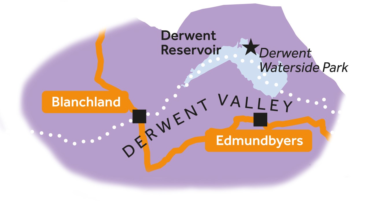
Leg 6Blanchland to Edmundbyers
Leg 6 of the multi-day Roof of England Walk – a journey around the North Pennines. An easier day with an initial climb up Buckshott Fell and then a gentle descent all the way to Edmundbyers. Linear route – 8.5km.
Leg 6 of the multi-day Roof of England Walk – a journey around the North Pennines. An easier day with an initial climb up Buckshott Fell and then a gentle descent all the way to Edmundbyers. Linear route – 8.5km.
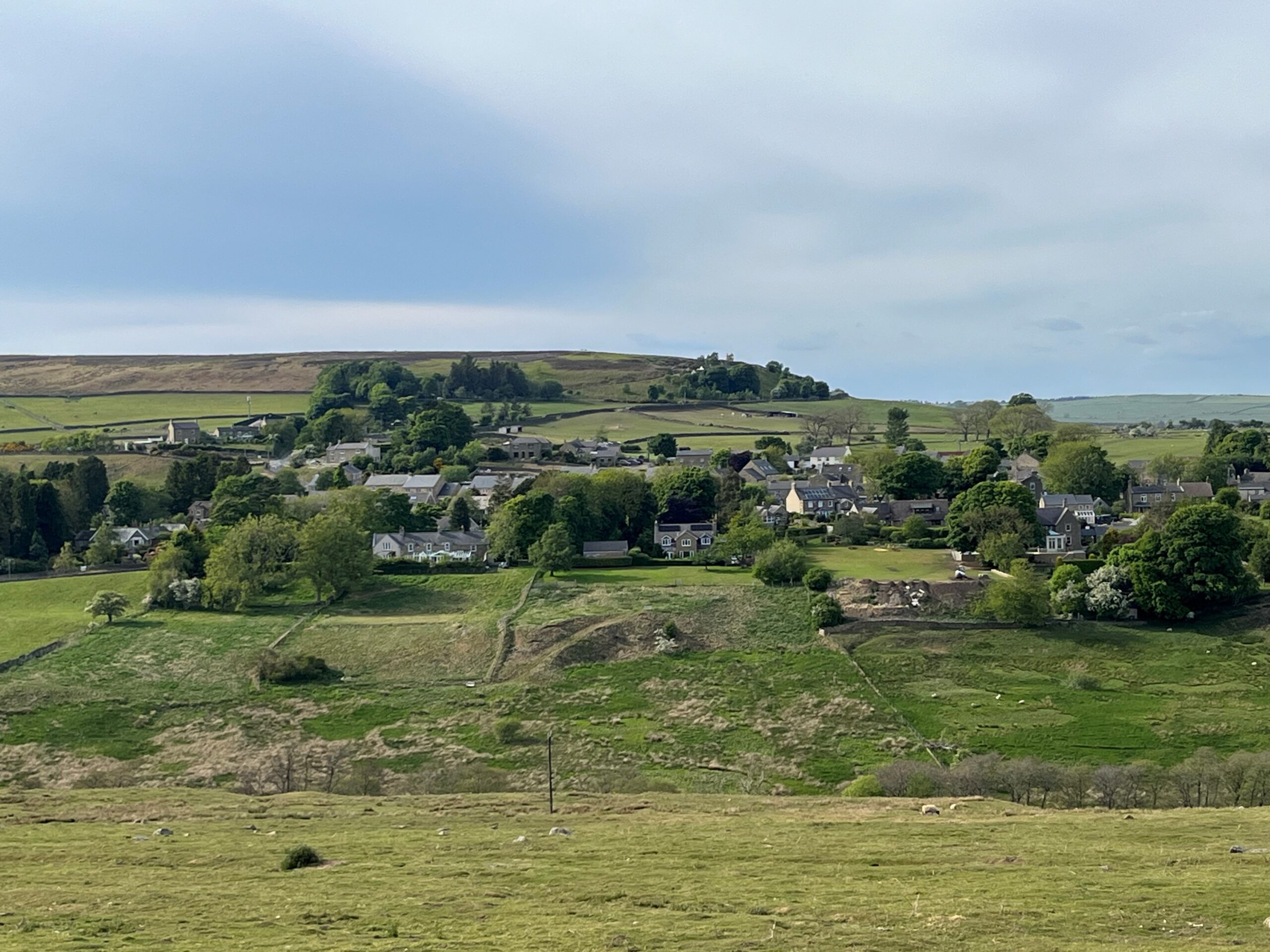
Start of Roof of England Walk Leg 6 – Blanchland to Edmundbyers.
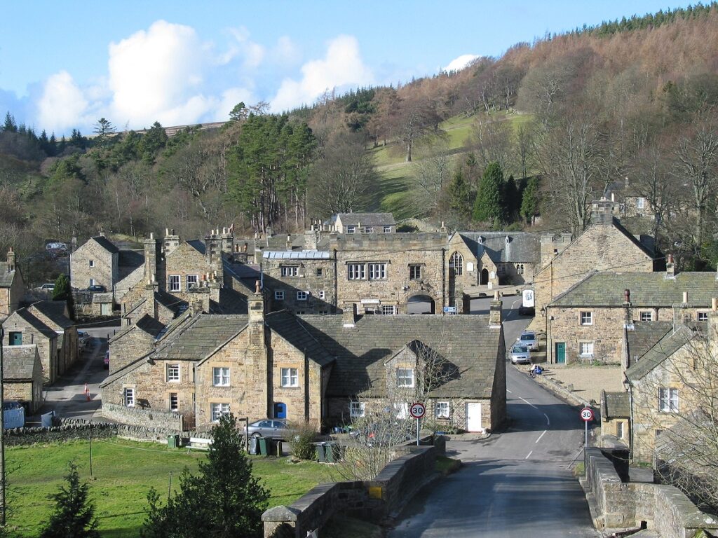
As you cross over the River Derwent have a look back at Blanchland. The buildings of the village are made of local sandstone and most of their roofs are made of thin sandstone slabs. Many of these slabs came from Ladycross Quarry in Slaley Forest, which you passed yesterday on Leg 5 of the Roof of England Walk. Sandstone has been quarried here for at least 300 years.
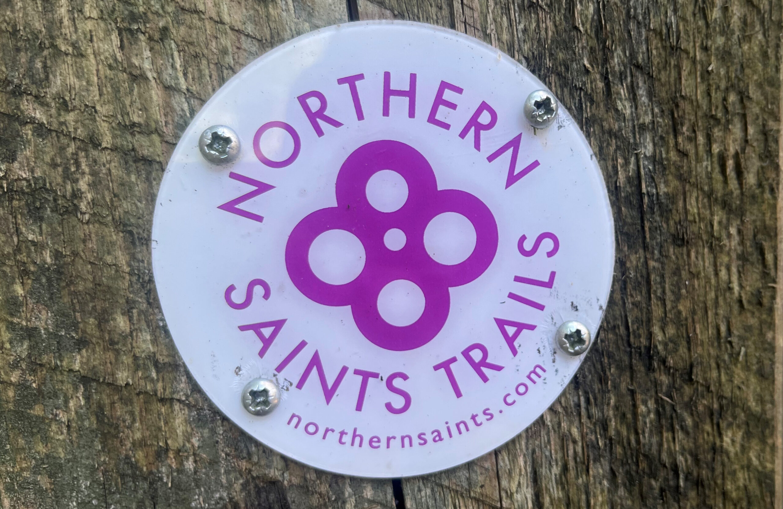
Leg 6 of the Roof of England Walk shares the same route as the Way of Light, one of six Northern Saints Trails. Keep a look out for these waymarks as you journey across the moors to Edmundbyers.
Edmundbyers means ‘the cowshed of Edmund’. The Edmund in question is St. Edmund, king of East Anglia from 855 to 869 who was killed by the Danes for refusing to renounce Christ. Stories abound concerning witchcraft in the village in the 17th century, including Mary Hunter who apparently transformed into a swallow, flew under her neighbours horse and cursed it, causing it to die in under a week.
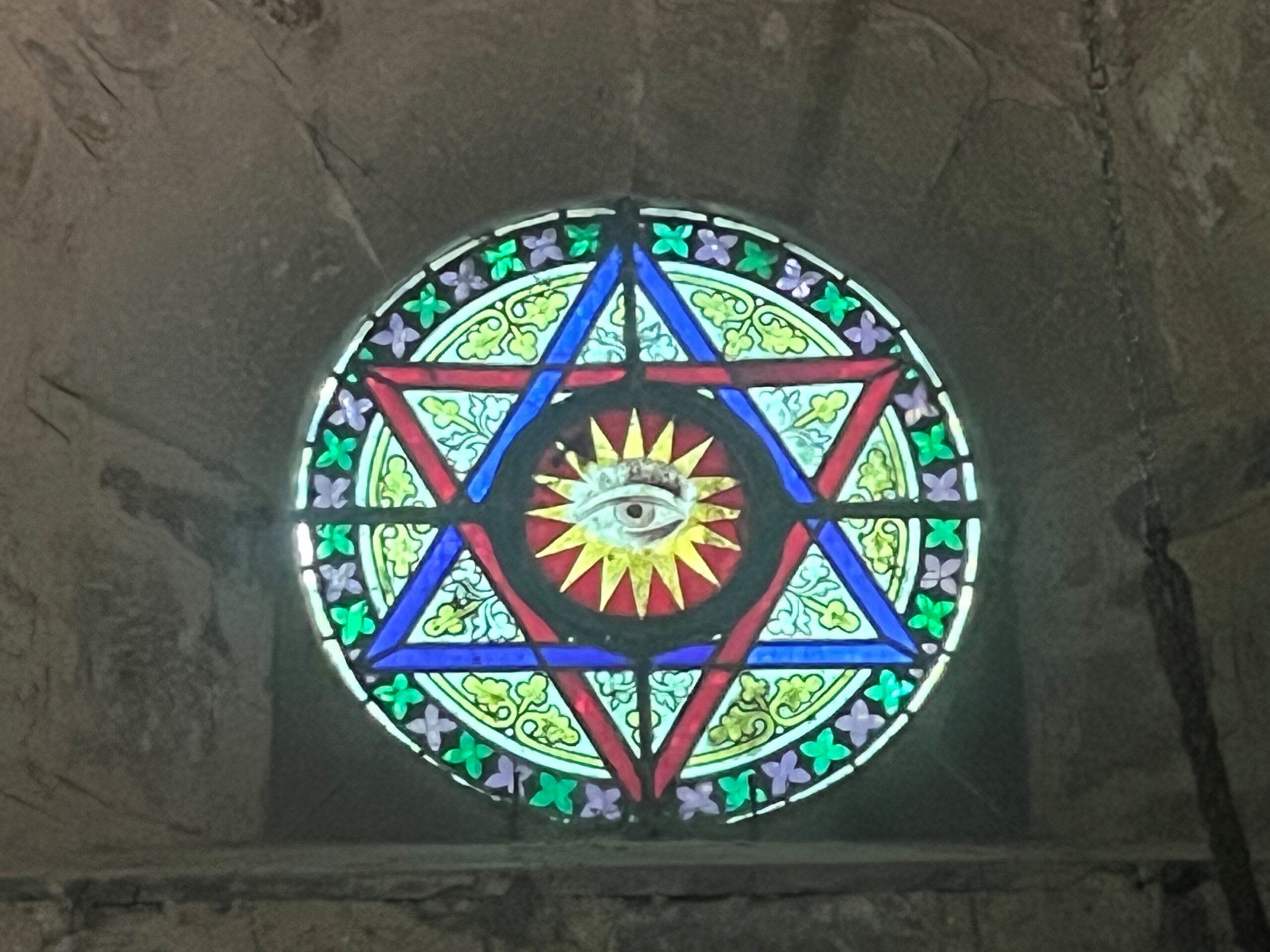
The church is dedicated to St. Edmund and dates to the around 1150, although it is believed that there was a Saxon church on the site before. If you go inside the church notice the ‘eye of God’ in a triangle window. This symbolises the Trinity, Father, Son and Holy Spirit, and is often seen in church architecture and Christian art.

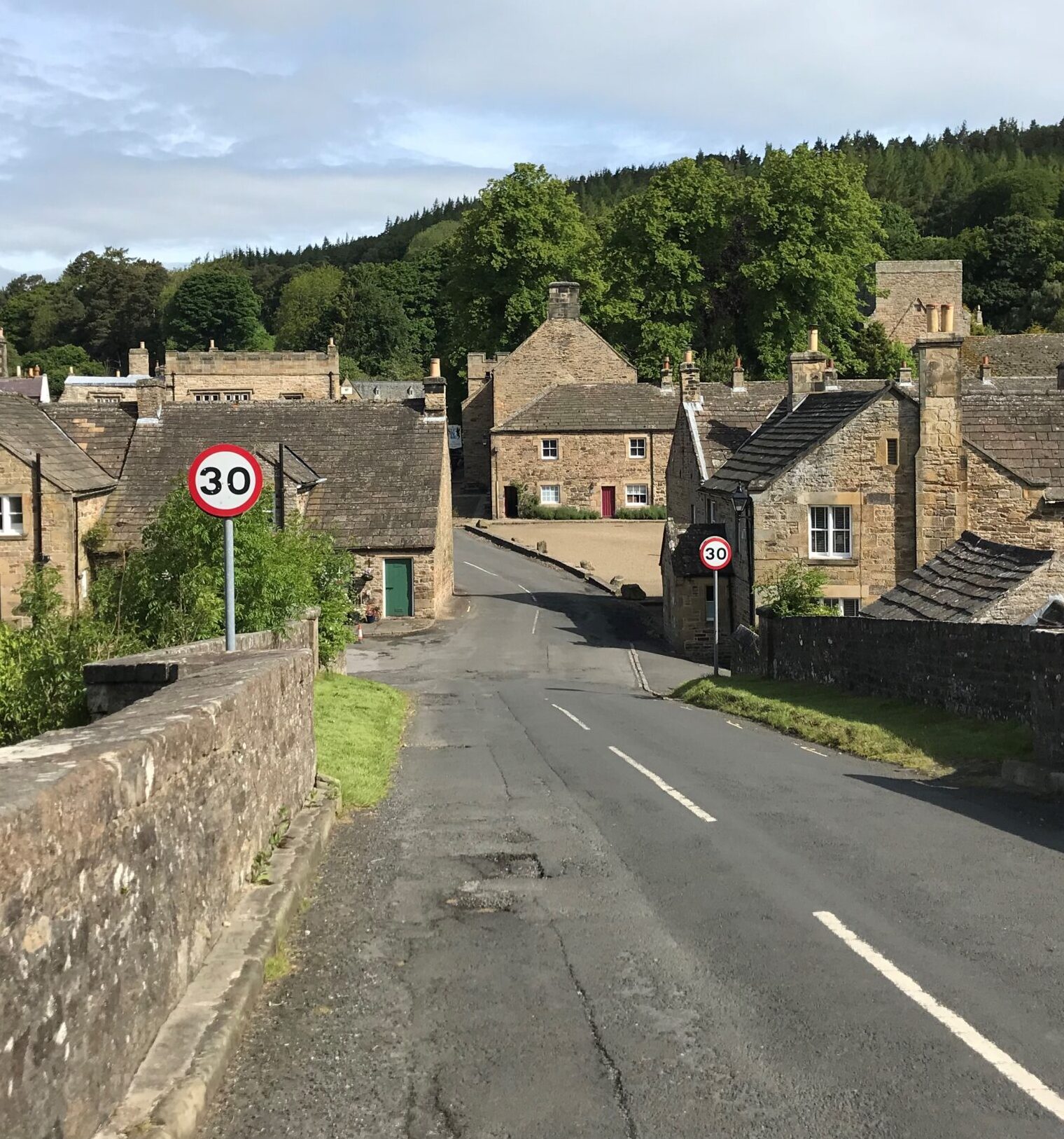
Finish of Roof of England Walk Leg 6 – Blanchland to Edmundbyers.