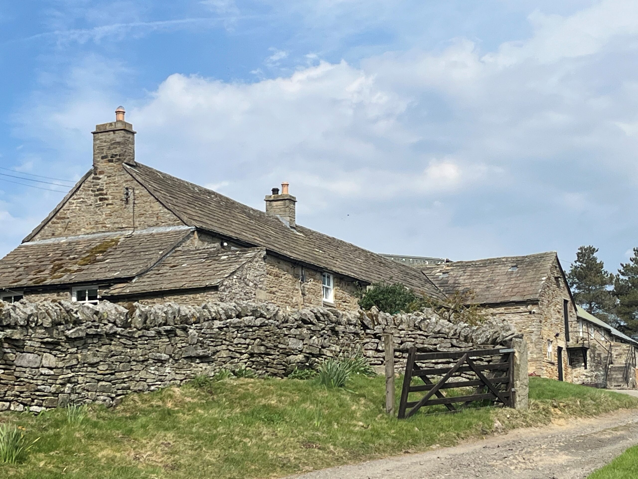
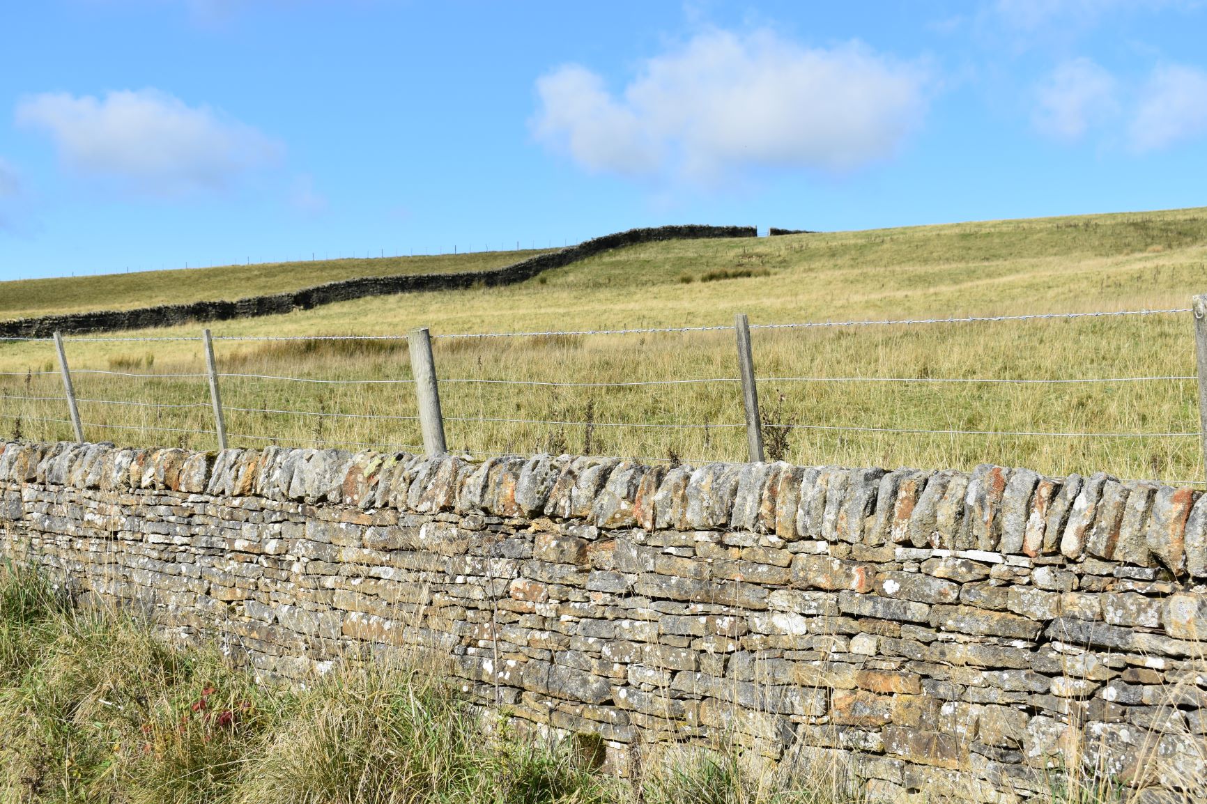
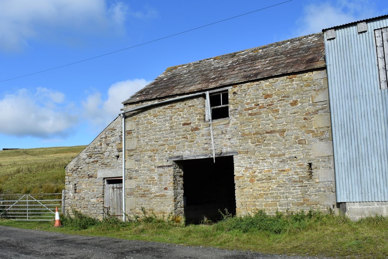
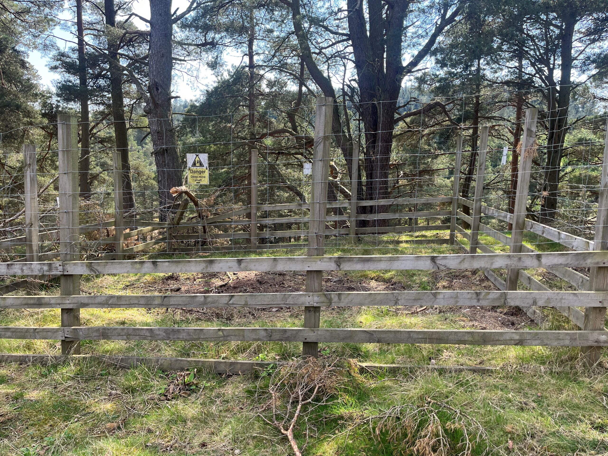
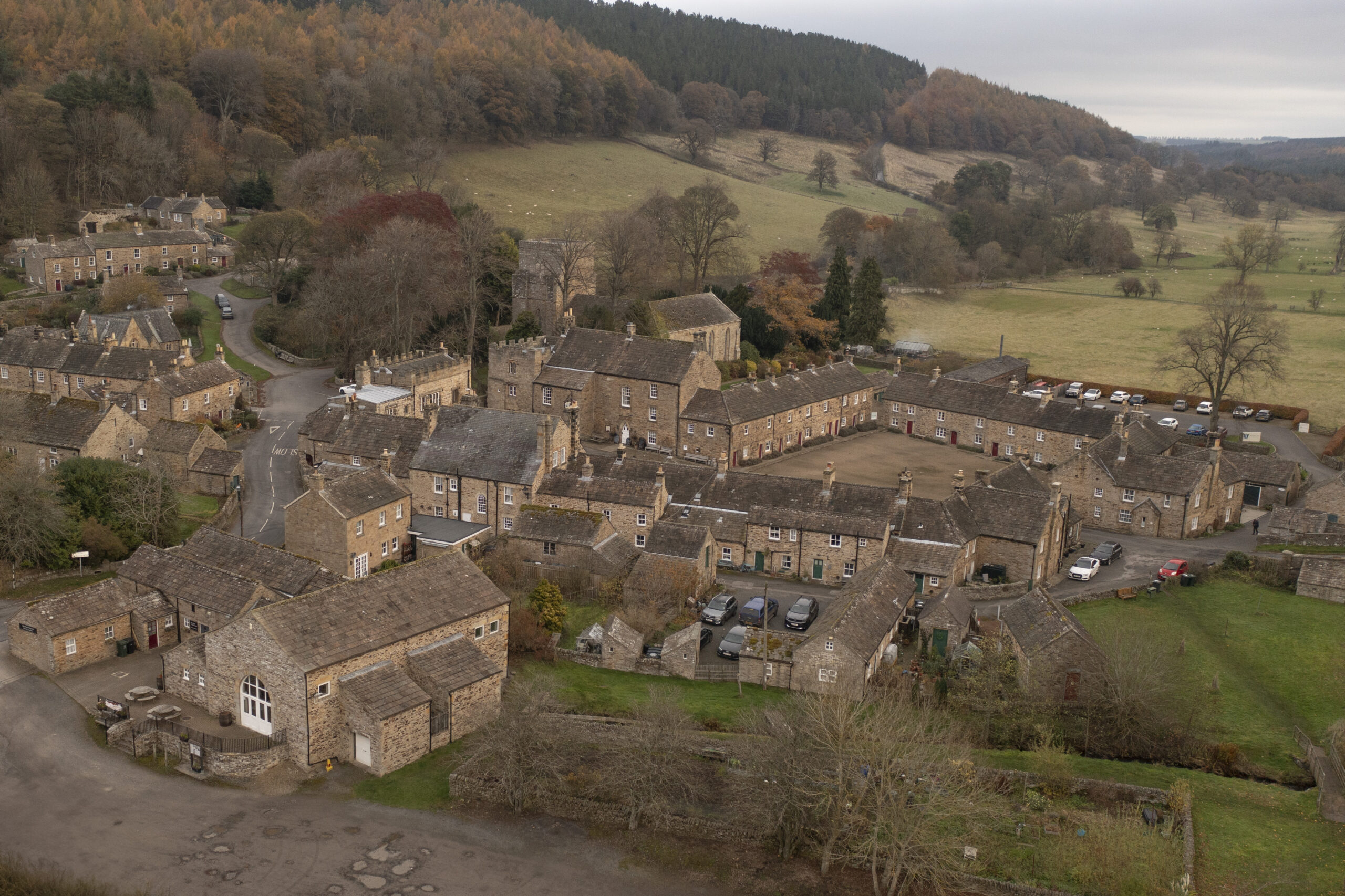
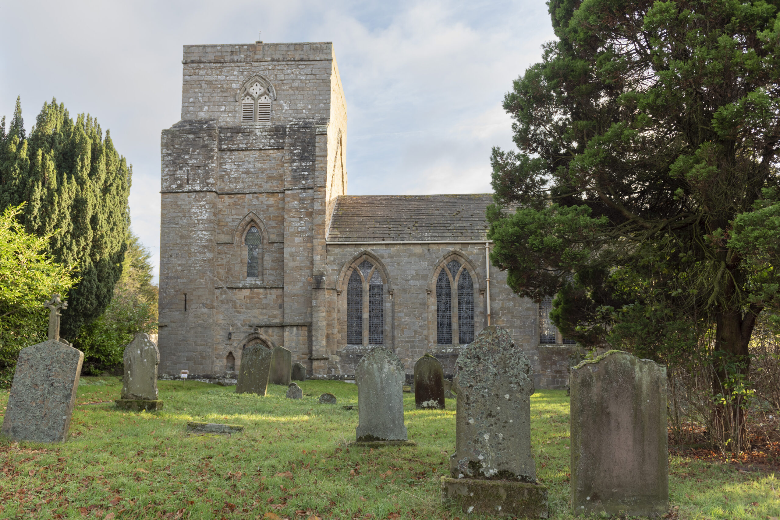
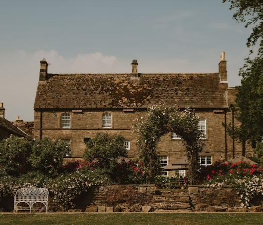
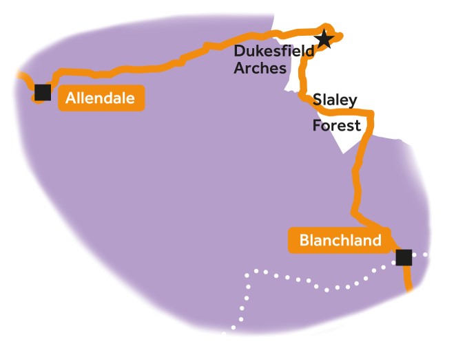
Leg 5Allendale to Blanchland

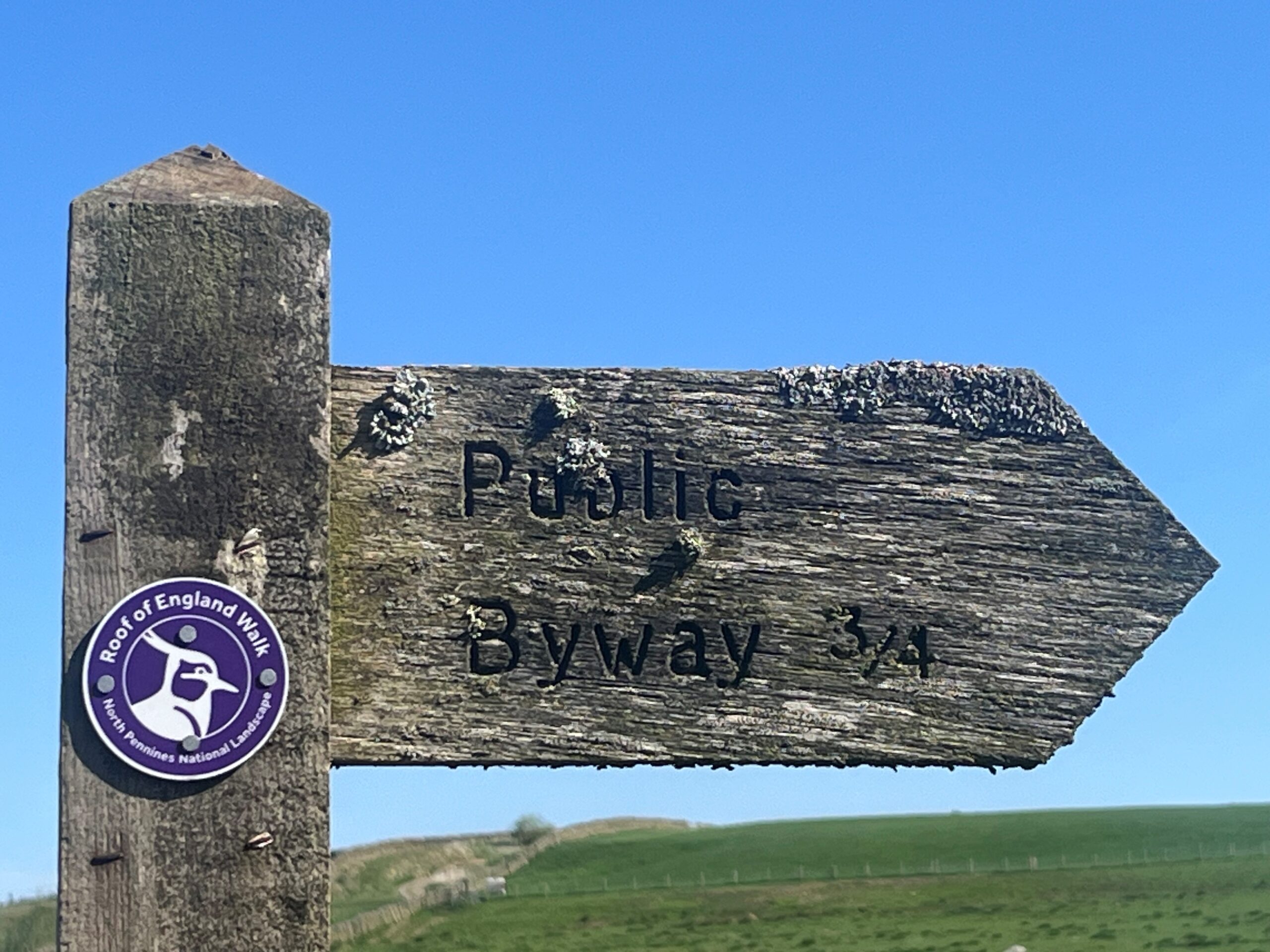
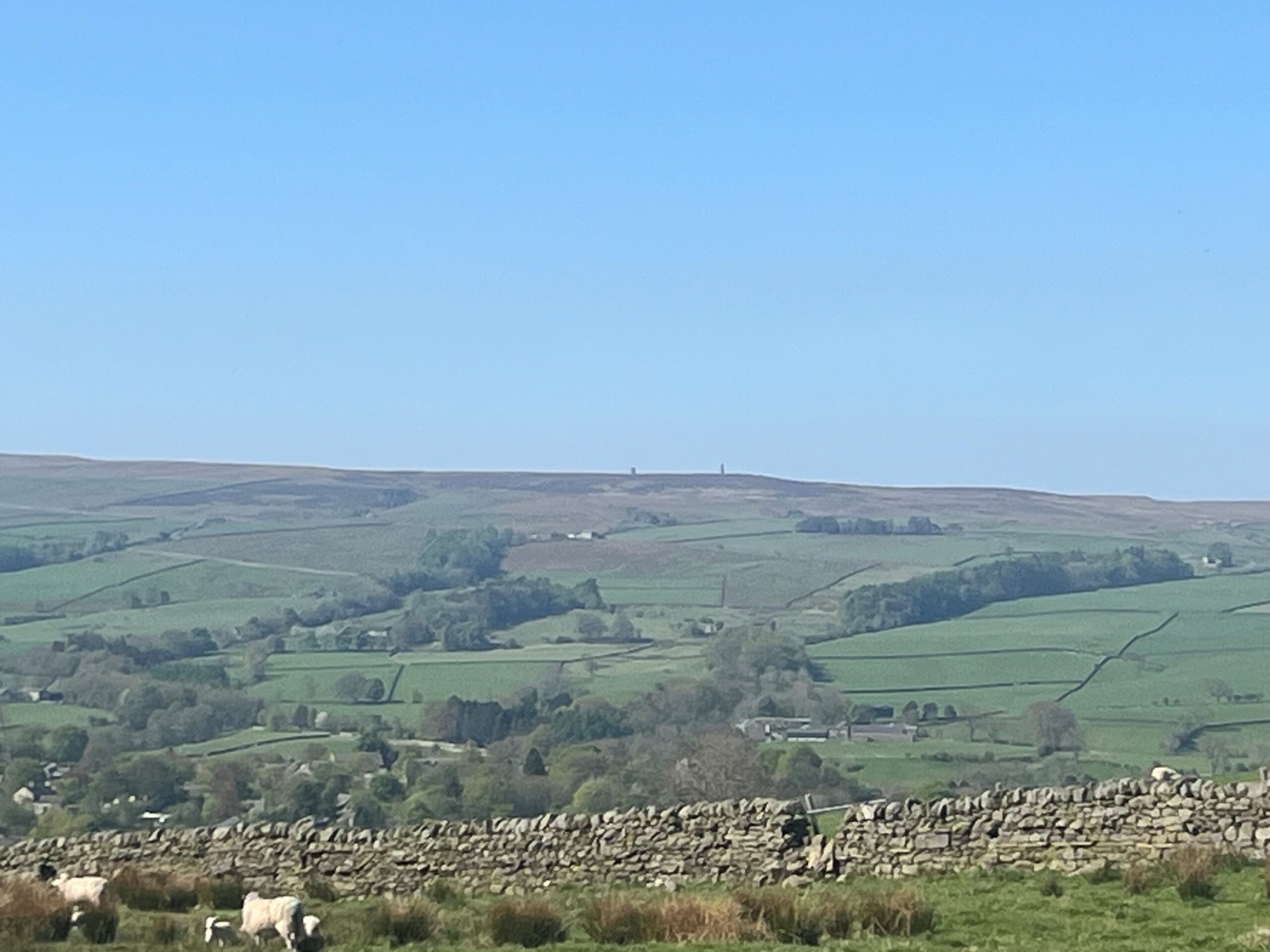
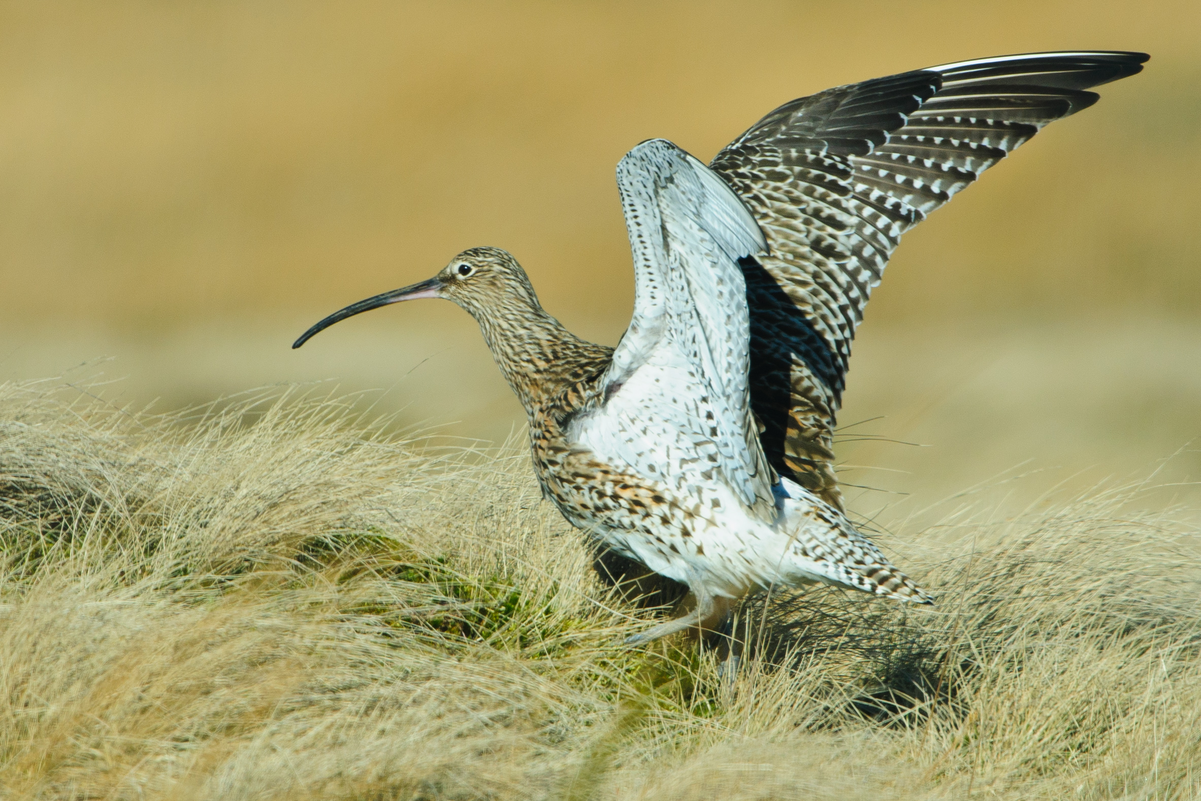
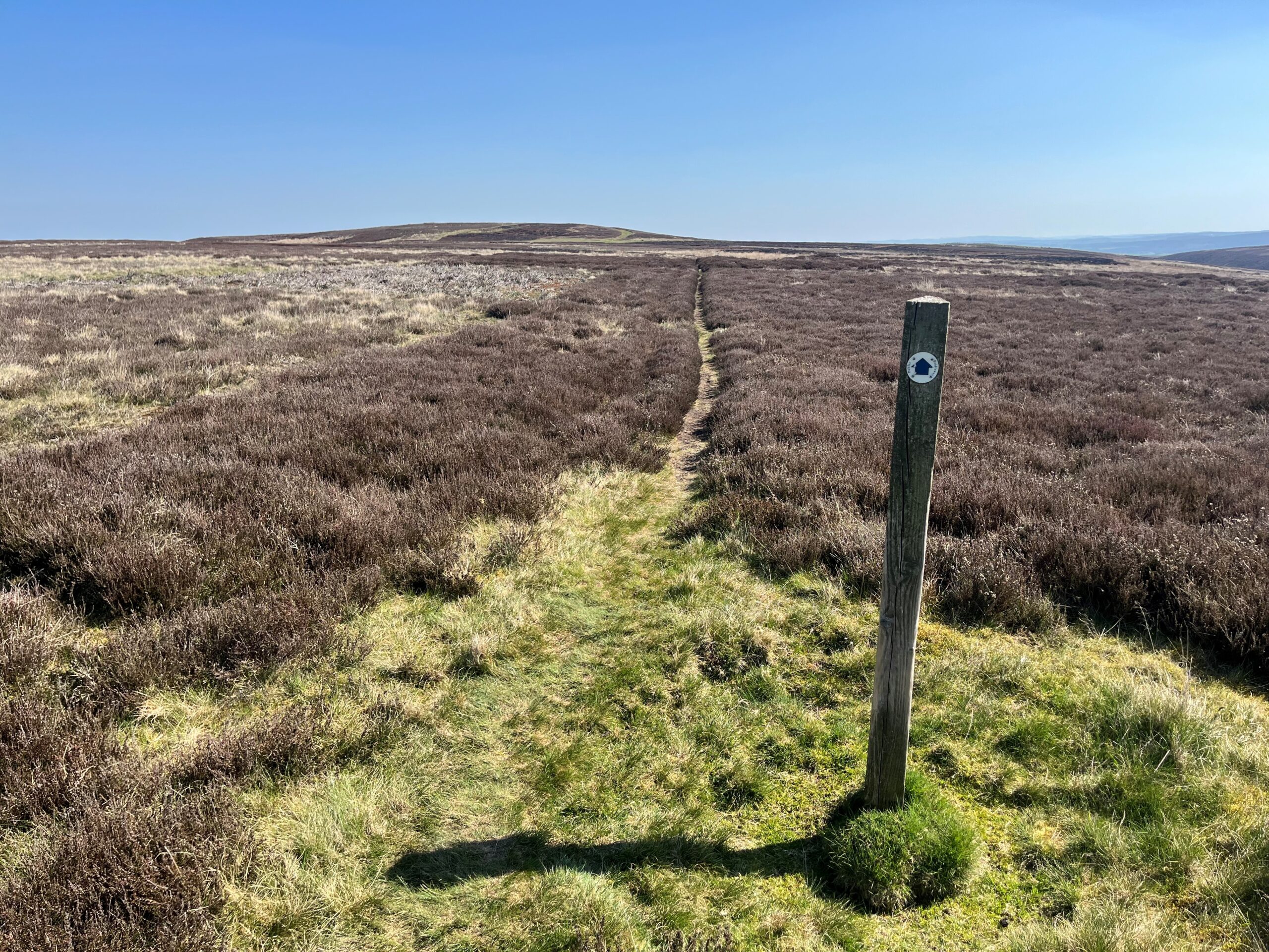
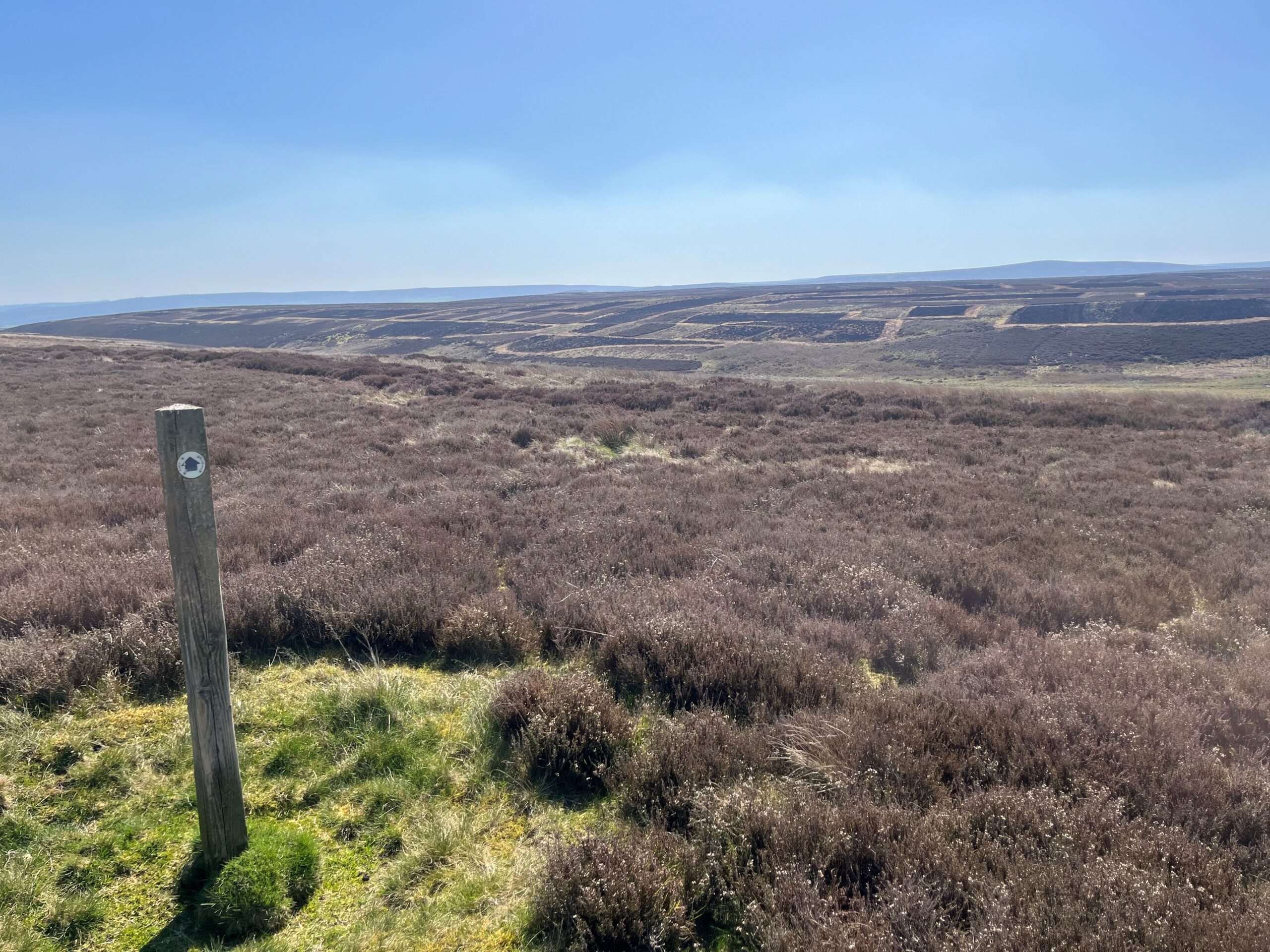
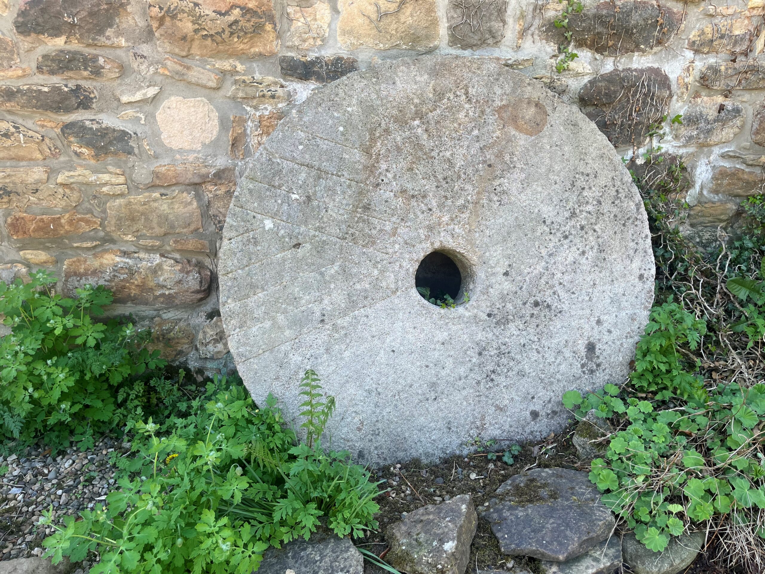
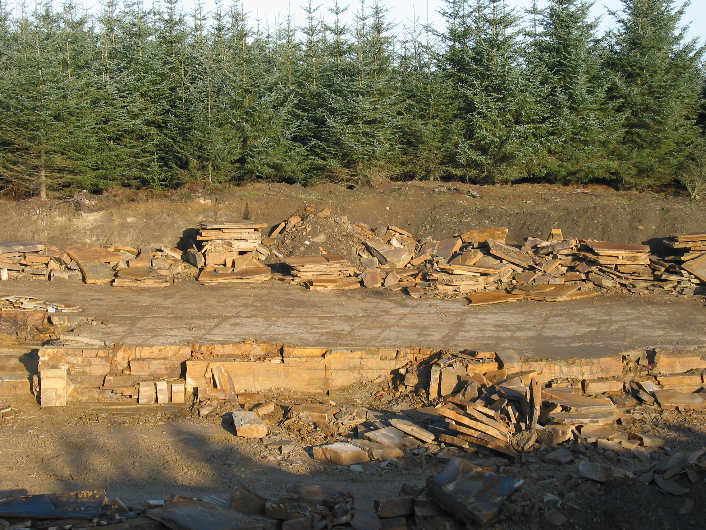
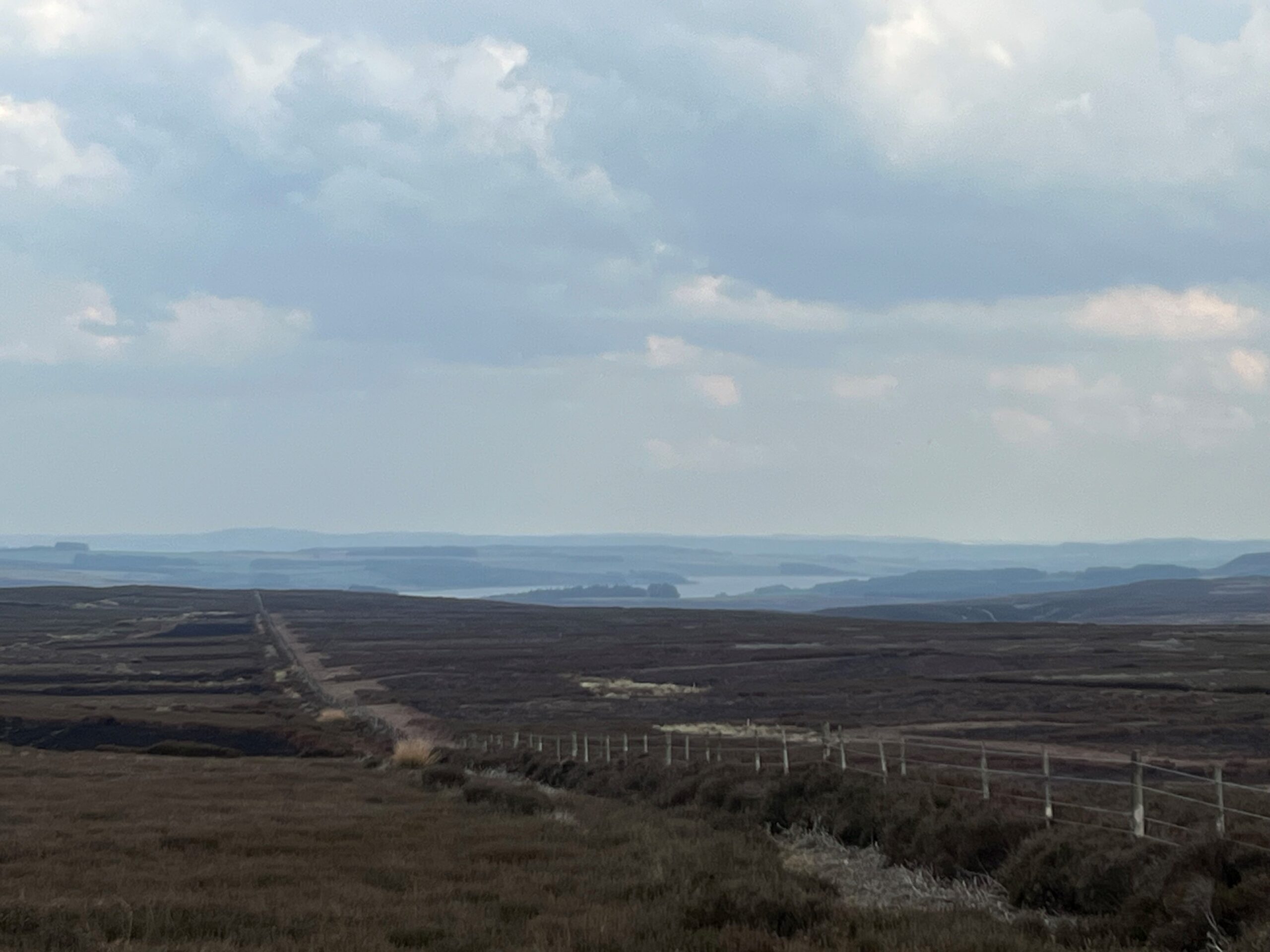
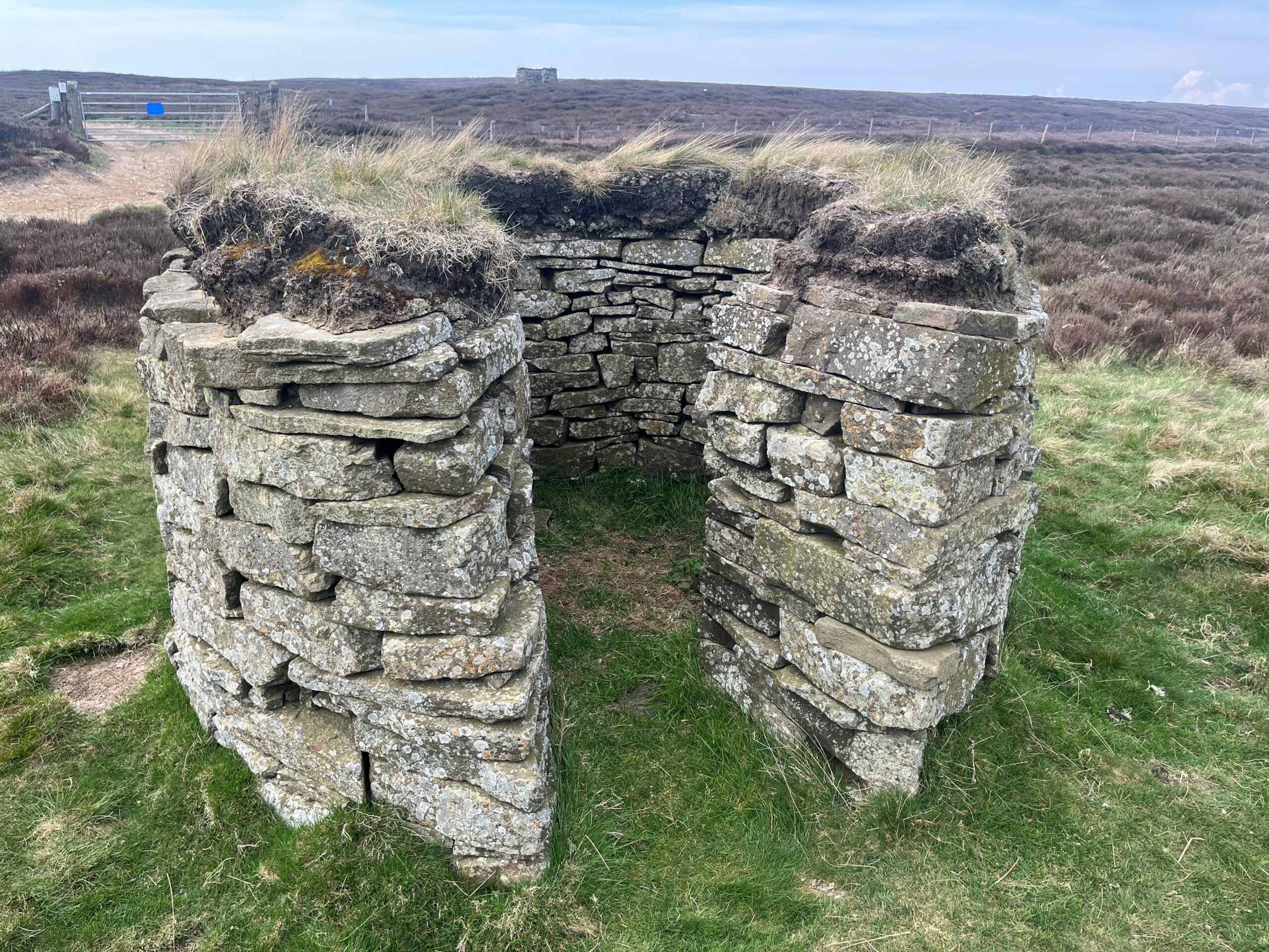
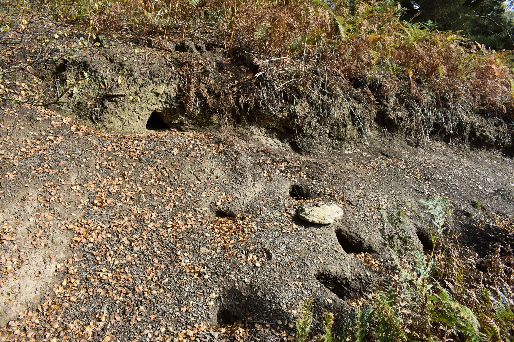
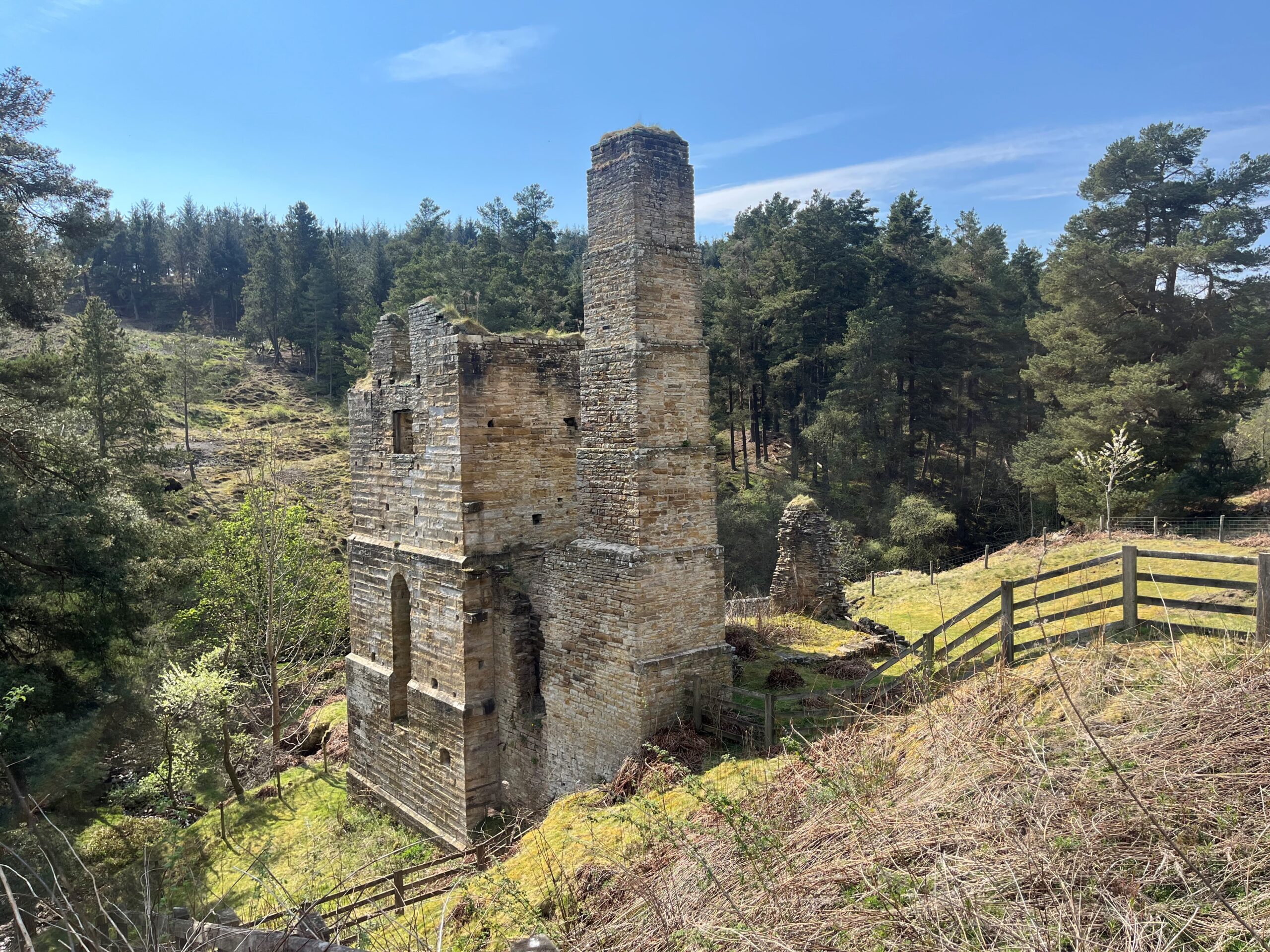
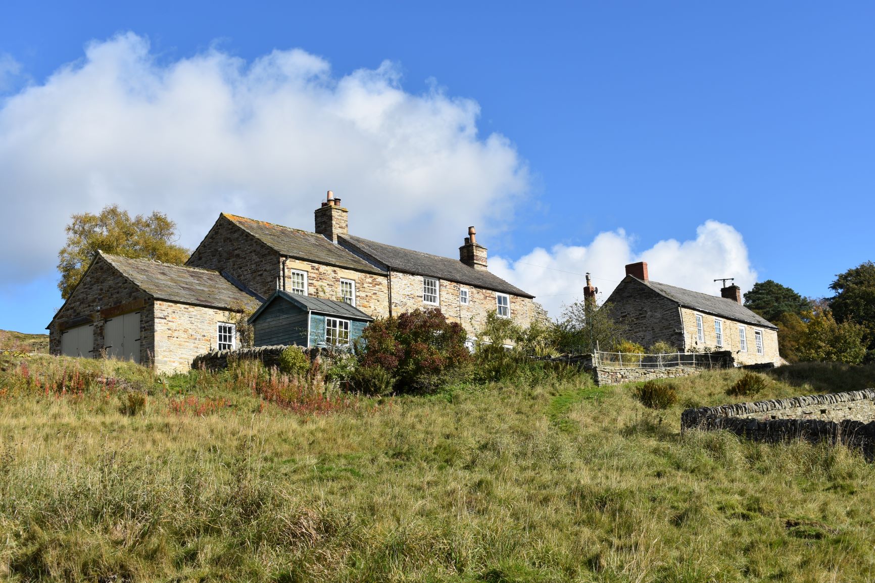
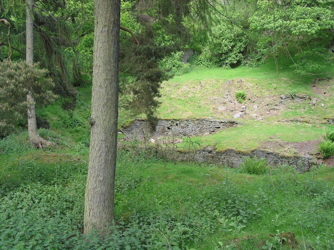
Leg 5 of the multi-day Roof of England Walk – a journey around the North Pennines. Blow away the cobwebs crossing the high moors of Hexhamshire Common. You will encounter lots of reminders of the area’s lead mining heritage today. Linear route – 23.9km.

Mining heritage

South of Juniper you will encounter Dukesfield Arches, two large gothic-style arches, the most visible remains of the once important Dukesfield lead smelting mill. Keep a look out for red squirrels as you walk through Slaley Forest and then it’s head south across Blanchland Moor until you pick up the Shildon Burn.

The white lands

Your day finishes in the Upper Derwent Valley village – Blanchland – perhaps the most attractive settlement in the North Pennines. The settlement was formed out of the medieval Blanchland Abbey by Nathaniel Crew, the Bishop of Durham between 1674 and 1722.

Roof of England Walk

Leg 5 of the Roof of England Walk involves lots of high moorland paths and tracks between Allendale (NY 83741 55797 and ///fountain.dude.flattens) and Blanchland (NY 96580 50372 and ///loans.surgical.sway). To follow this leg and the Roof of England Walk you will need to be able to map read/use a compass.

Turn-by-turn directions for this leg (including maps) are available as a pdf download. You can also download a GPX file to use on your own device (phone, watch or handheld).

Terrain

Moorland tracks and paths – stony and muddy, with boggy bits. Stone tracks and paths through woodlands. Reasonable amount of walking on quiet country lanes – just under 7km.

Starts at 240m with a high point of 390m. Over the day there is 426m of climb. Please make sure you take a paper map with you (at least as a backup). Leg 5 is covered by the following OS Maps: Explorer – OL43; and Landranger – 86 and 87.

Responsible visiting

Please make sure you follow the Countryside Code (Respect, Protect, Enjoy – www.countryside-code.org.uk) and behave responsibly whist enjoying the Roof of England Walk.

Points of interest

1

Start

Start of Roof of England Walk Leg 5 – Allendale to Blanchland.

2

Allendale

The growth of Allendale was fuelled through the explosion in the lead mining industry in the 19th century. In 1869 the Hexham and Allendale Railway opened but this coincided with the decline in lead mining, on account of cheaper lead imports. The last mines closed in the 1890s and the population rapidly declined. Allendale became a popular tourist destination for Edwardian Tynesiders.

3

AONB bench

Have a rest on the stone bench, engraved with North Pennines Area of Outstanding Natural Beauty. The North Pennines was designated as an AONB in 1988. In November 2023 the area was renamed as a National Landscape – one of 38 across England and Wales. A new name but the same special place it has always been. Our mission is to protect and look after the area and to make sure everyone can enjoy it.

4

Roof of England waymark

Notice the Roof of England Walk waymark on the fingerpost, as you turn onto Chat’s Lane. You will be following these waymarks for the first 12km of Leg 5 – after which your route coincides with the Way of Light and Wainwright’s Pennine Journey. Keep your eyes peeled for these purple roundels, with the white outline of a lapwing in the middle – the symbol of the North Pennines National Landscape.

5

Allendale Chimneys

Look out across the East Allen Valley and notice two chimneys on the skyline. These chimneys form part of a large Scheduled Ancient Monument which includes the complex of lead smelting ore hearths, furnaces, and bingsteads next to the River East Allen and the long flues which carried lead fume more than two miles to the chimneys on top of the fell. You passed close by to Allen Smelt Mill on Leg 4.

6

Curlews

From Chat’s Fell Gate in spring/early summer (May/June) the glorious, burbling sound of curlew is likely to be your constant companion. The curlew is Europe’s largest wading bird. You may see them soaring around, easily recognised by it large, downward curved beak.

7

Bridleways

You are following a bridleway across the moor, so be aware that you could encounter cyclists, horse riders and all-terrain mobility scooters. In England there are different Public Rights of Way, which are waymarked using different colours. You will see blue arrows on bridleways. Yellow waymarks mean that you are on a public footpath – only for pedestrians and mobility scooters.

8

Lambs Rigg

Look across the shallow valley towards Lambs Rigg. Notice the chess board appearance of the heather moorland. Large parts of the North Pennines are managed as grouse moors. As you walk notice that patches of heather have been burnt. This is carried out by gamekeepers between 1 October and 15 April, to encourage the growth of fresh heather shoots for grouse (and sheep) to eat.

9

Whitley Mill House

A mill is known to have stood here since medieval times. The mill is mentioned in a document dated 1350 and then later, in 1591, when it was the property of a John Ogle. In 1598 the mill passed to his wife and it was then sold to Sir Ralph and Sir John Delaval in 1620. It has been converted to a residential property but the weir and leat survive.

10

Way of Light

As you turn right off the tarmac road, to follow a stony track, the Roof of England Walk shares the route of the Way of Light (one of the Northern Saints Trails) and Wainwright’s Pennine Journey. Look out for these waymarks all the way to Blanchland.

11

Dukesfield Arches

The Dukesfield lead smelting mill operated from around 1666 until 1835. It was strategically located between the North Pennines and the markets and wharves of Newcastle and it was central to the lead mining, smelting and trading business owned by generations of the Blackett and Beaumont families.

12

Speckled woods

This stretch of woodland is perfect habitat for the speckled wood butterfly – partially shaded, with dappled sunlight. Adults are on the wing between April and early October and can be seen perching in sunny spots and then spiralling into the air, chasing one another.

13

Slaley Forest

You enter Slaley Forest here. You might catch a glimpse of red squirrels as you wander through the trees. Grey squirrels have ousted the native reds from most of England but they still find a home in Slaley. The forest is also home to nightjars. These birds are most active at dawn and dusk when they are hunting for insects and are tricky to spot, but you might hear the male’s churring call.

14

Ladycross Quarry

Many of the sandstone slabs which are used on the roofs in the village of Blanchland (your destination for today) were sourced from Ladycross Quarry – to your right. Sandstone has been quarried here for at least 300 years.

15

Cuckoos

In early summer, if you are lucky, you might hear a cuckoo as you walk along the track. They are dove-sized birds with a blue-grey back, head and chest, and a stripey black and white belly. They overwinter in Africa and migrate to Britain to breed. They are brood parasites, which means that they lay their eggs in other birds’ nests and ‘con’ them to raise their chicks as if they were their own.

16

Derwent Reservoir

At the gate look to your left and, on a clear day, you can see Derwent Reservoir glinting in the distance. The reservoir is within the North Pennines National Landscape and, after Kielder, it is the second largest reservoir in North East England. It supplies 28 million gallons (127 million litres) of water every day to the homes and industries of much of Wearside and South Tyneside.

17

Grouse butts

Just before the track heads off down the hill notice the line of circular, dry-stone wall built, structures on the moor top. They are small shelters used by shooters during a driven (red) grouse shoot. The term ‘butts’ is believed to have originated from targets used for practice shooting.

18

Pennypie House

As you go through the gate at the bottom of the hill glance to your left. The stone-built building is known as Pennypie House. The name is thought to have originated at a time when pies were sold here to passing drovers and lead miners – for a penny.

19

Terraced hillsides

The hillside to the left of the track rises to a flat-topped natural terrace. Terrace features like these are characteristic of the North Pennines and are the result of the weathering and erosion of alternate layers of hard sandstone and soft shale.

20

Barn and sandstones

The barn is made of local sandstone. Sandstones vary by the sizes of the sand grains in them, the type of natural cement between the grains, colours, layers and patterns. These reveal hints about what the environment was like where and when they were formed. The barn is mainly built of gritty sandstone containing small quartz pebbles. The barn roof is made of thin sandstone slabs.

21

Old shaft

A fenced-off area on the right of the track marks the site of one of many deep shafts that provided access and ventilation to the underground mine workings. These long-abandoned shafts, some over 200m deep, can be dangerous – please keep well clear.

22

Shale

Shale is a crumbly, fine-layered rock seen here on the right. A large portion of the North Pennines landscape is made up of repeating layers of limestone, shale and sandstone. These layers were formed from sediments such as sand and mud in shallow seas and river deltas between 300 and 360 million years ago. Shale is made up of tiny grains of mud squashed and stuck together.

23

Shildon Engine House

To your right is Shildon Engine House. This housed a steam-driven engine built in 1806 to pump water from a 200m-deep shaft that connects with the workings accessed by the adit at Shildon Lead Mine. The venture was not wholly successful and steam power was eventually replaced by water power. It was then used as accommodation for lead mining families and came to be known as Shildon Castle.

24

Shildon

Shildon was once a bustling mining village. It is hard to imagine now but in the 1850s over 150 people lived here. The surviving cottages are built of local sandstone and roofed with thin sandstone slabs. The area of bare ground above the cottages is a mix of old lead workings and quarries.

25

Shildon Lead Mine

Just before a wooden shed, look through a gateway on the left. A few overgrown stone walls above the stream are the remains of the ore treatment areas of Shildon Lead Mine, where excess rock was removed from the lead ore. A horizontal tunnel, or adit, from the side of the stream here gave access to a complex of underground workings. Lead ore was worked here until the late 19th century.

26

Blanchland

The buildings of this historic village are made of local sandstone and most of their roofs are made of thin sandstone slabs. Many of these slabs came from Ladycross Quarry in Slaley Forest – which you passed earlier in the walk.

27

Fossil plants

In front of the tearoom are several large blocks of fine-grained sandstone containing fossil tree roots. This type of sandstone is known as ganister and is fossilised soil upon which lush tropical forests of giant ferns, horsetails and clubmosses grew over 300 million years ago. The fossils are the imprints left where the tree roots once grew.

28

Blanchland Abbey

Blanchland Abbey was the church, but also the rest of the village. Today’s houses are built on the footprint of those medieval buildings. The abbey was founded in 1165, but very little survives from the 12th century. In the church, the tower is early 13th century, extended upwards in the 14th century. Inside you will find displays which interpret the fascinating history of the village.

29

Lord Crewe Arms

The Lord Crewe’s story began in 1165 when it was the guest house to the newly-formed Blanchland Abbey. The guest house ran for 400 years until the Dissolution of the Monasteries in 1539. The building eventually passed into the responsibility of the Lord Crewe Trustees. The Lord Crewe Arms was born – becoming a place where miners enjoyed a pint. It is still a place to eat, sleep and enjoy.

30

Finish Waypoint End

Finish of Roof of England Walk Leg 5 – Allendale to Blanchland.

Introduction
01