Leg 10St. John’s Chapel to Saur Hill Bridge

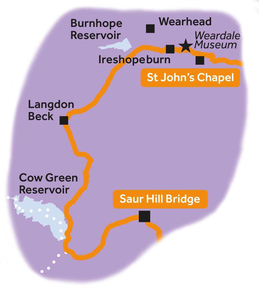
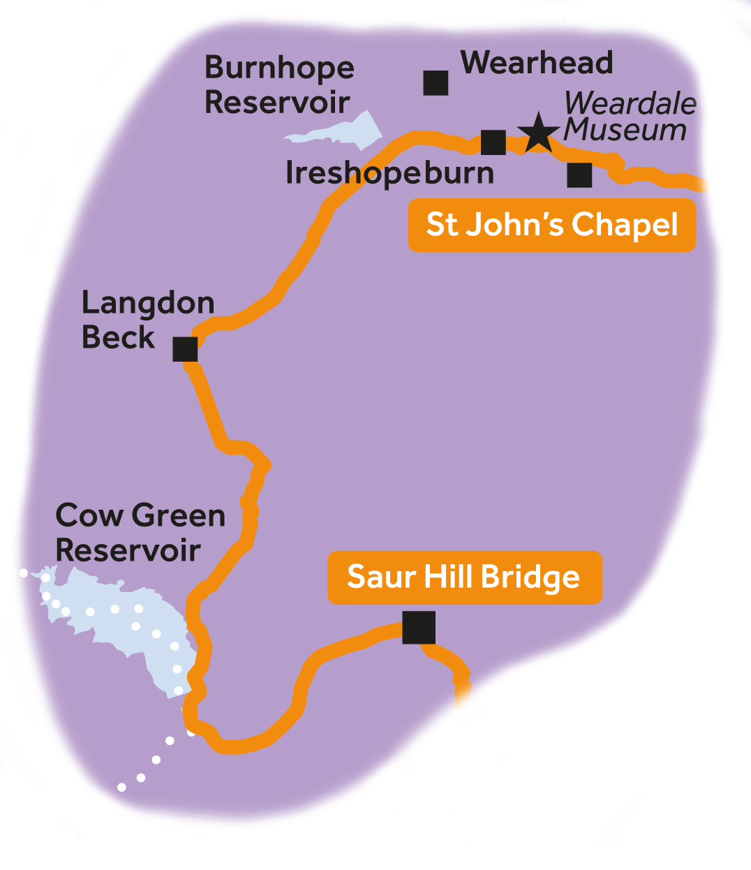
Leg 10 of the multi-day Roof of England Walk – a journey around the North Pennines. Climb up the Grasshill Causeway between Weardale and Teesdale to be greeted by views of Cross Fell followed by the cascade of Cauldron Snout. Linear route – 22.8km.

Weardale and Teesdale

After passing the doors of the Weardale Museum in Ireshopeburn, a gradual climb up to the watershed between Weardale and Teesdale affords panoramic views of Upper Weardale. After an optional climb up Great Stony Hill (0.5km off route), a glorious descent all the way to Cow Green Reservoir awaits you with views of Cross Fell, Great and Little Dun Fell.

Cauldron Snout

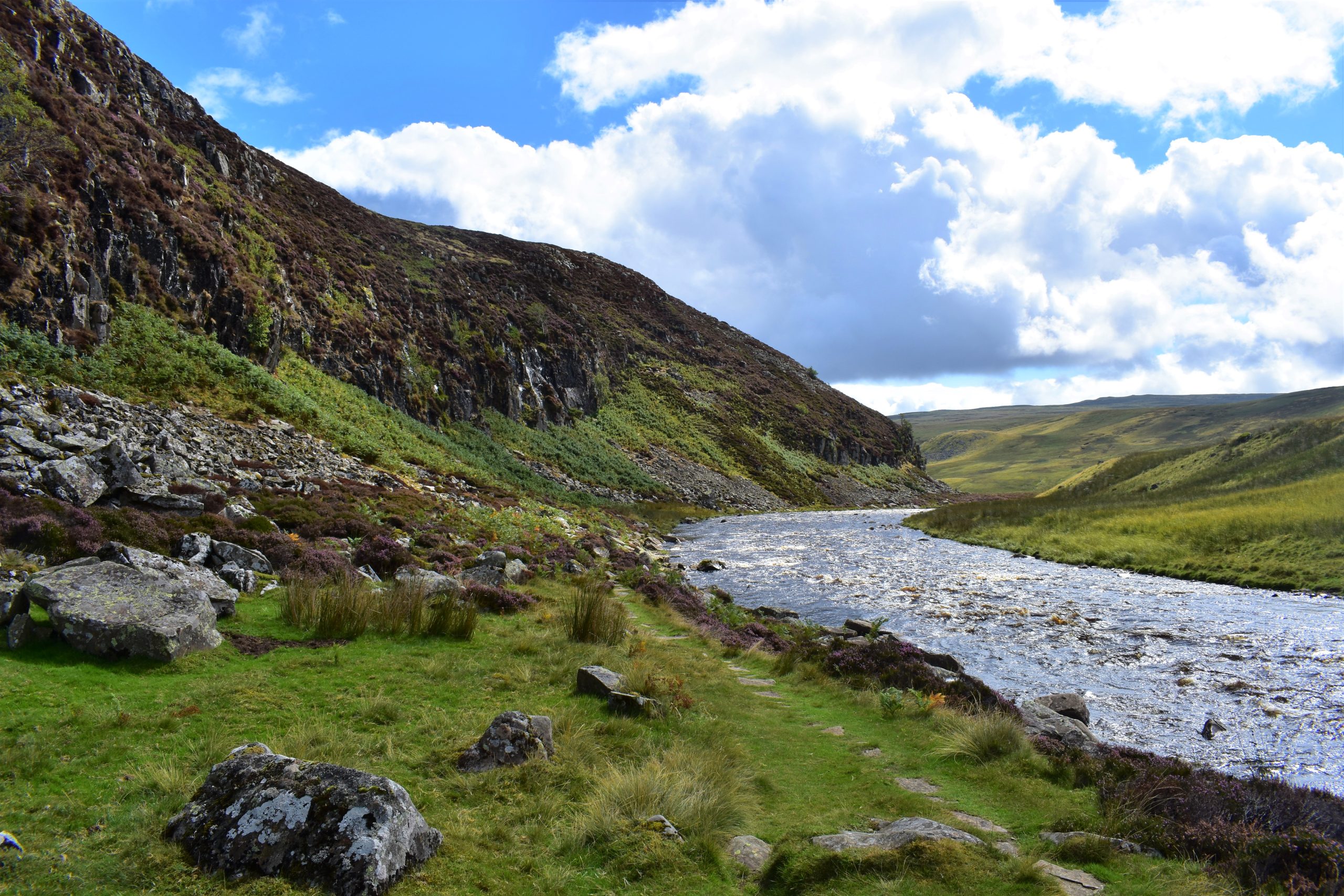
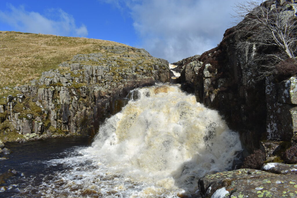
Below Cow Green dam you pick up the Pennine Way National Trail alongside the famous cataract of Cauldron Snout. The rest of the leg follows the River Tees beneath the crags of Falcon Clints and Cronkley Scar.

Roof of England Walk

Leg 10 of the Roof of England Walk starts just outside St. John’s Chapel (NY 88843 38119 and ///rewarding.influence.thus) in Upper Weardale and finishes at Saur Hill Bridge (NY 85476 30211 and ///regard.receiving.hangs) in Upper Teesdale. To follow this leg and the Roof of England Walk you will need to be able to map read/use a compass.

Turn-by-turn directions for this leg (including maps) are available as a pdf download. You can also download a GPX file to use on your own device (phone, watch or handheld).

Terrain

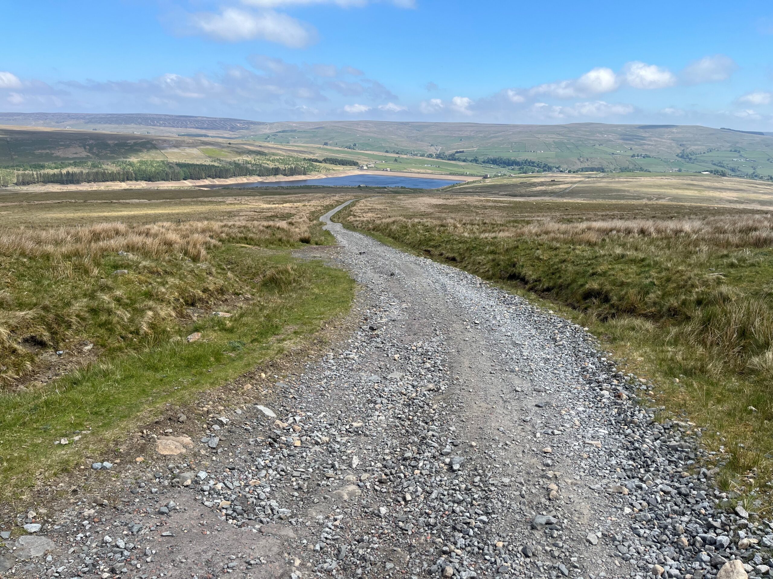
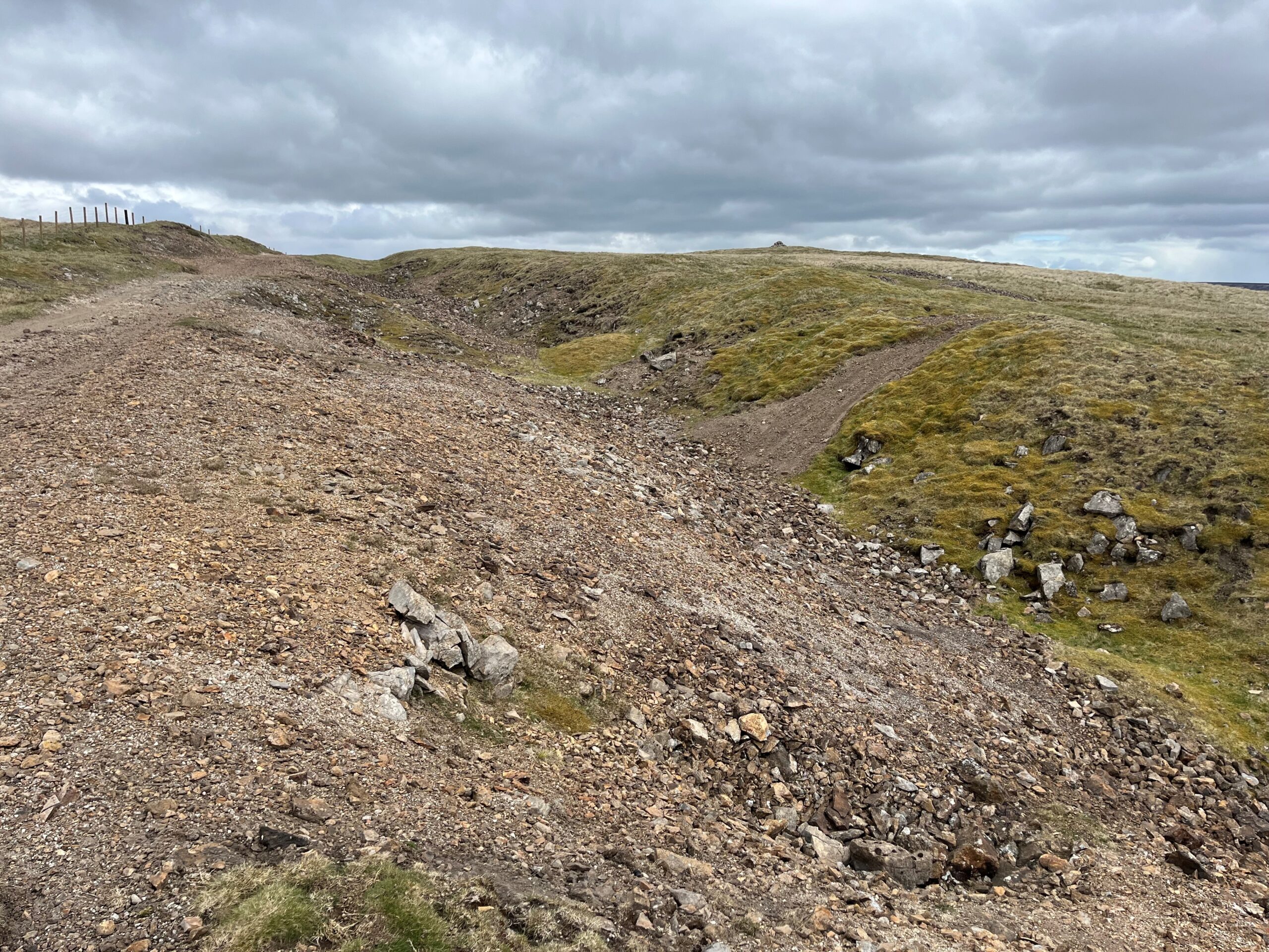
Initially the route follows the Weardale Way (for 2km) on muddy riverside and field paths. After Coronation Bridge you leave the Weardale Way for a section of tarmac (about 4km) through the village of Ireshopehope and initially on the gradual climb up the Grasshill Causeway. A rough stony track then follows up and over the watershed.

Road sections and paths through fields and one kilometre across unmarked moor follow. Take care in poor visibility. The stretch along the east side of Cow Green Reservoir is tarmac.

The scramble down the side of Cauldron Snout needs care and you will need to use your hands on occasion. The remaining 5.5km is on rocky paths with sections across fields and boardwalks. Take special care as you negotiate the boulder section below Falcon Clints. Starts at 291m with a high point of 677m. Over the day there is 562m of climb.

Please make sure you take a paper map with you (at least as a backup). Leg 10 is covered by the following OS Maps: Explorer – OL31; and Landranger – 92.

Responsible visiting

Please make sure you follow the Countryside Code (Respect, Protect, Enjoy – www.countryside-code.org.uk) and behave responsibly whist enjoying the Roof of England Walk.

Points of interest

1

Start

Start of Roof of England Walk Leg 10 – St John’s Chapel to Saur Hill Bridge.

2

Coronation Bridge

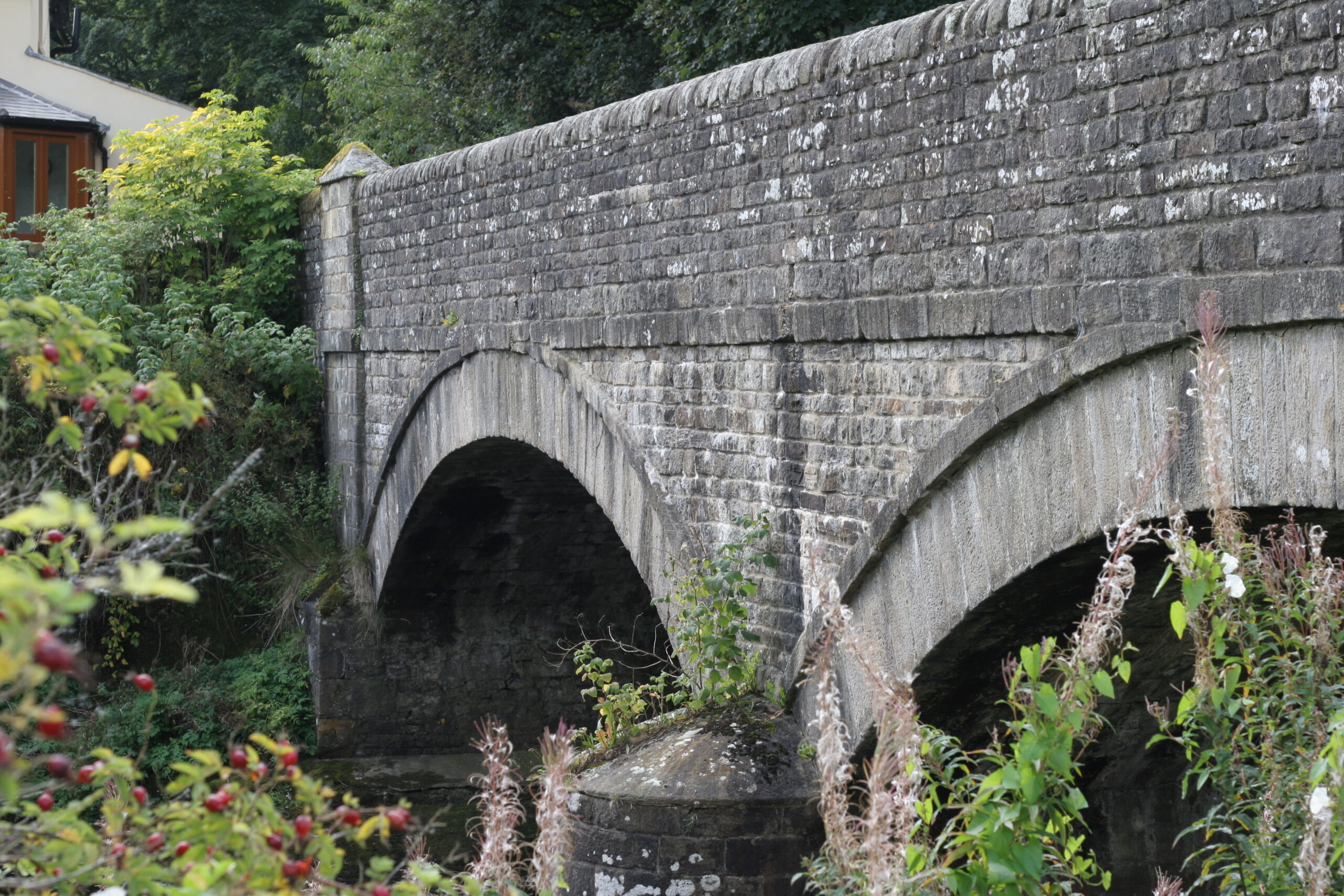
This bridge across the Wear was opened in 1837 and commemorates the coronation of Queen Victoria. If you look uphill to the right, you can see Newhouse (with its stone-framed windows) on the dale side. This grand house was built towards the end of the 17th century by the WB Lead Company for its chief Weardale agent and was the lead mining headquarters until 1882.

3

Weardale Museum

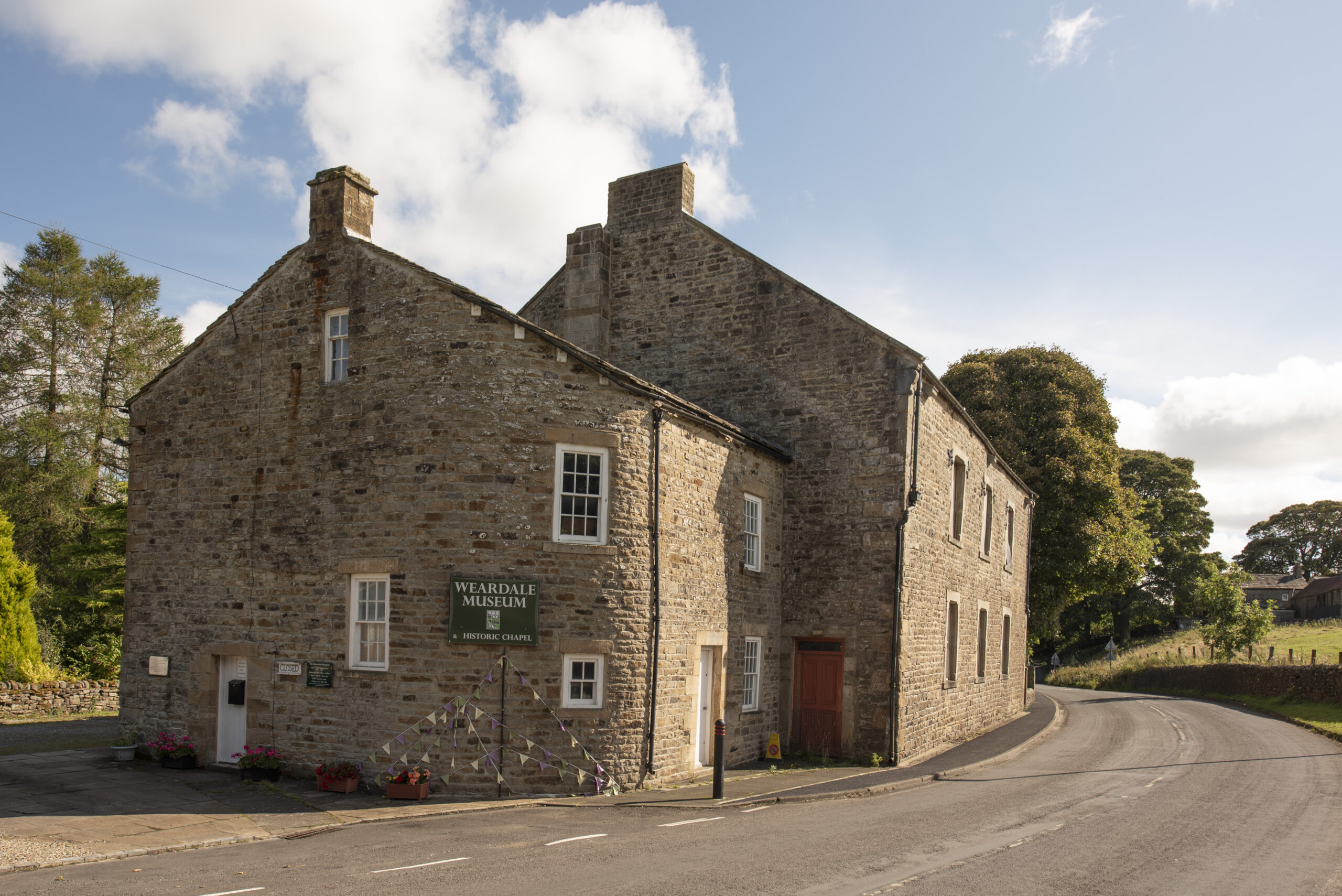
The Manse (clergyman’s house) in Ireshopeburn, built in 1804, is now the Weardale Museum. Its well worth a visit to find out more about the life, landscapes and heritage of the dale. Volunteer-led, the Weardale Museum is dedicated to preserving the history & heritage of Weardale and its people. Open seasonally between April and October.

4

Grasshill Causeway

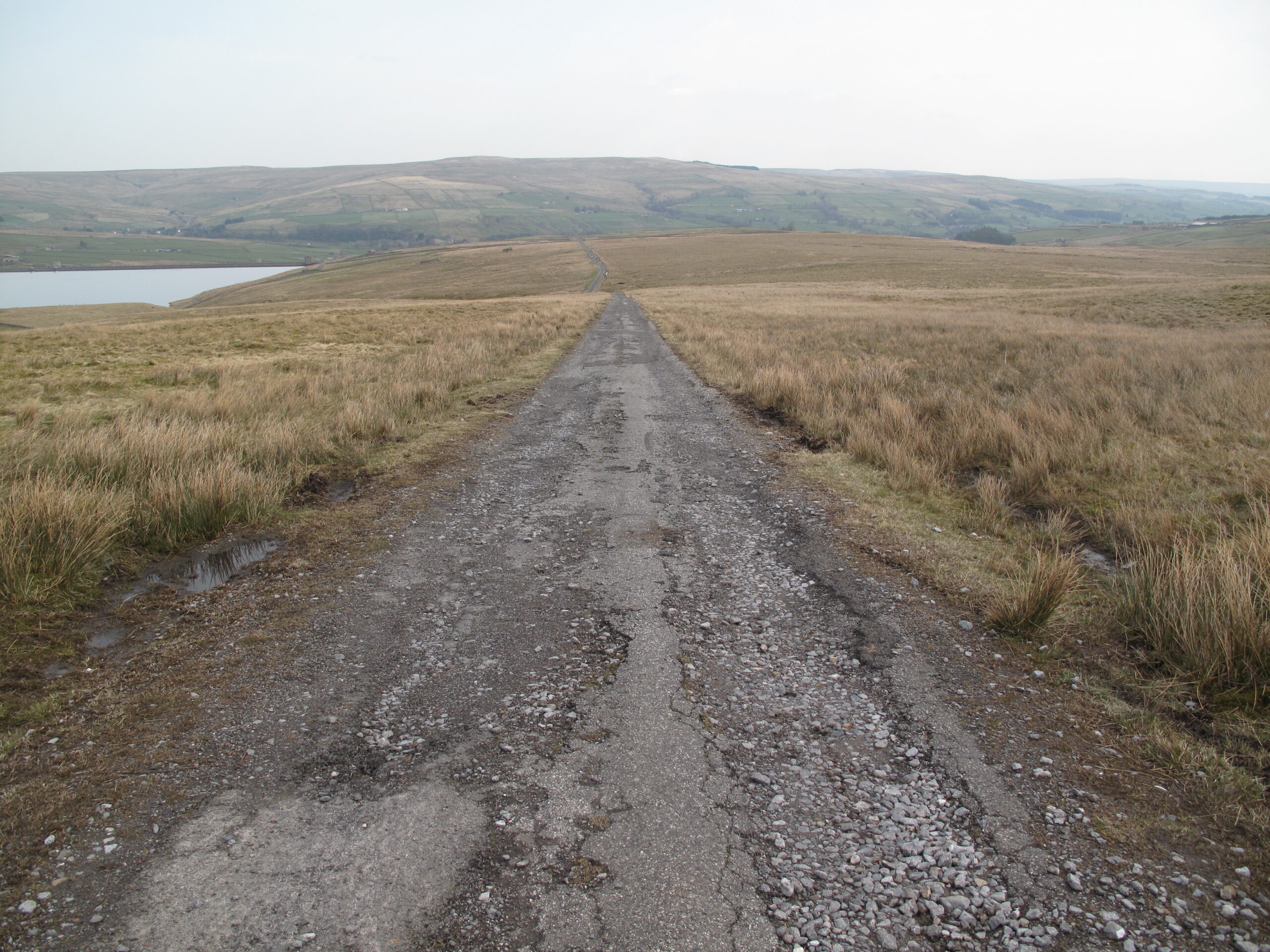
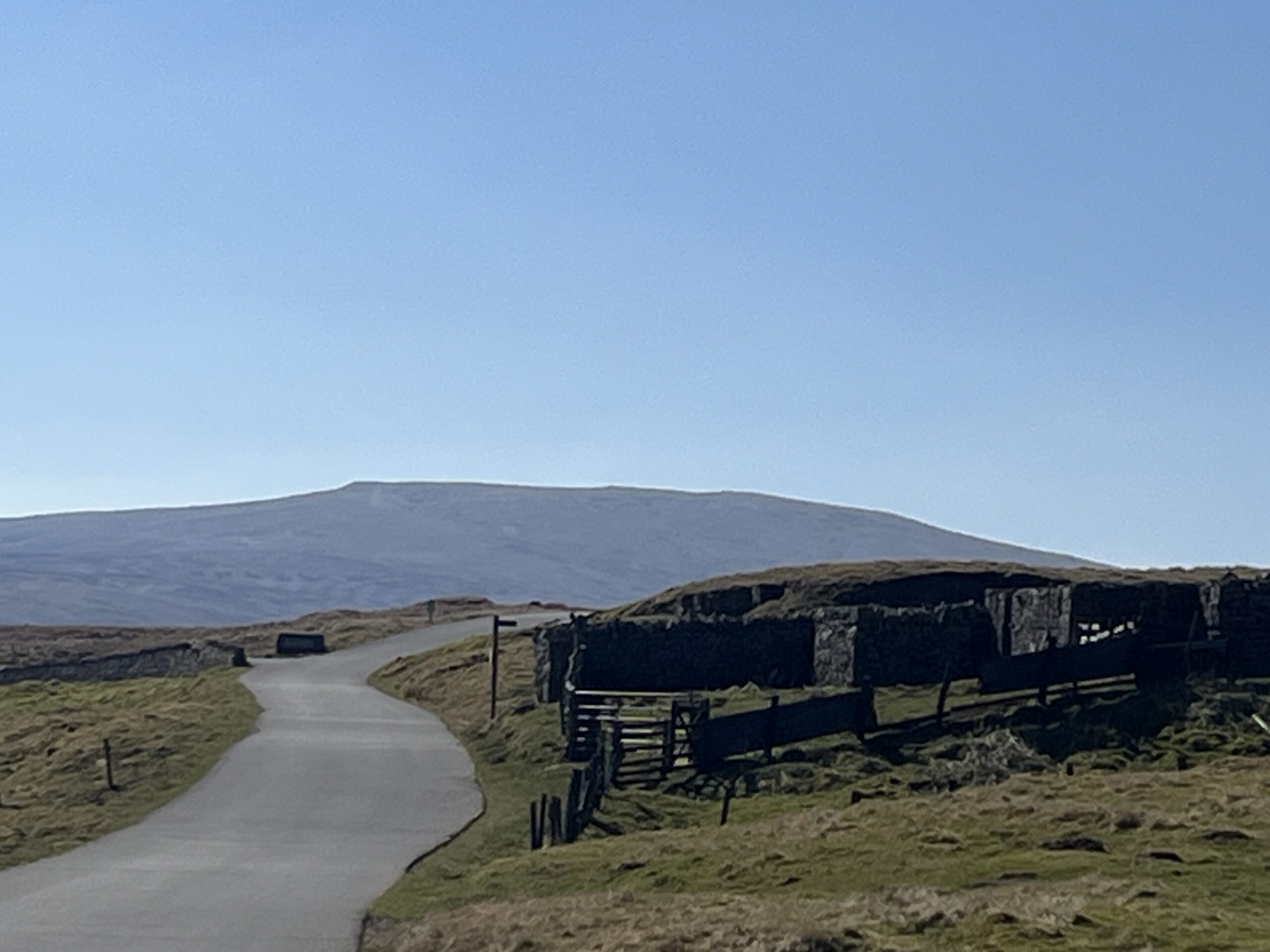
The Grasshill Causeway is the highest legal through-road in the UK. The route is tarmac in places but it is mostly a rough ‘green lane’. Be aware as you climb up and over into Teesdale that there may be motorised traffic on the route.

5

Burnhope Reservoir

The reservoir was created by the construction of an earth embankment dam across the Burnhope Burn, a tributary of the River Wear. It was completed in 1937. It is owned and operated by Northumbrian Water Ltd and supplies drinking water to Weardale communities, via a treatment works at Wearhead. It is also connected, by pipeline, to Waskerley Reservoir, almost 18km away as the crow flies.

6

Cottongrass

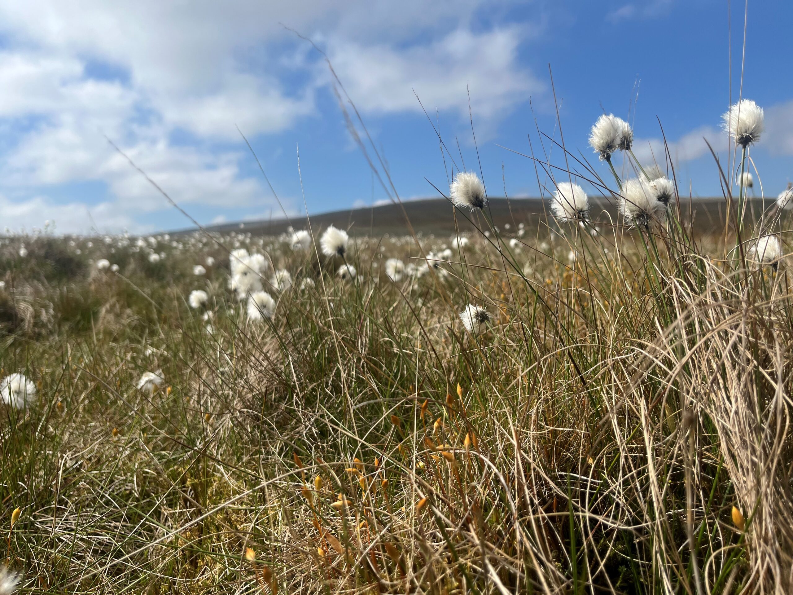
During May/early June you are likely to see drifts of cottongrass on the left side of the track. It is actually a member of the sedge family and so isn’t a true grass. The fluffy white seed-heads resemble cotton as they bob in the wind, bringing the moors alive in the summer. An alternative name for this characteristic plant is bog cotton, indicating that it likes to grow on peat bogs.

7

Line of grouse butts

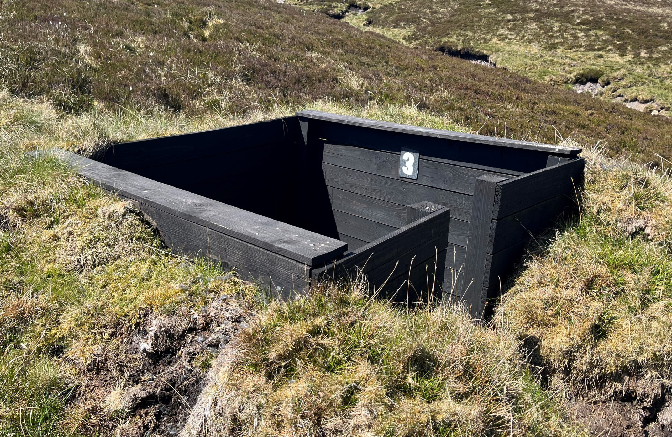
The line of black, wooden sunken features just to the right of the track are grouse butts. Butts are small shelters used by shooters during a driven (red) grouse shoot. The term ‘butts’ is believed to have originated from targets used for practice shooting.

8

Golden plover

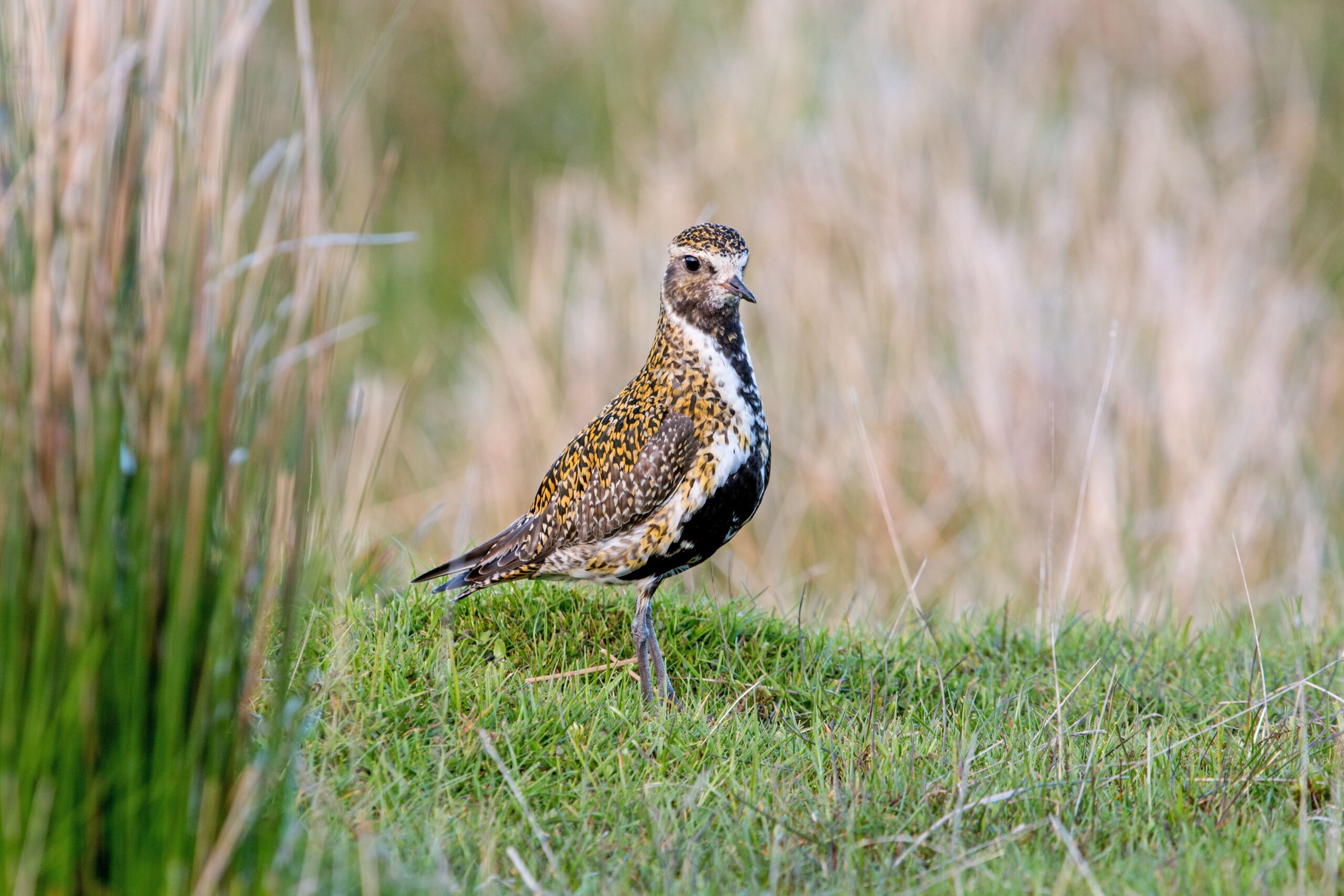
You are quite likely to see golden plovers here during spring and early summer. They are medium-sized birds with a distinctive gold and black summer plumage. They visit the North Pennines seasonally, returning to the moors to breed. Typically they are very upright birds which run in short bursts. They can be shy and wary on their breeding grounds. Their main call is a clear, sad sounding whistle.

9

Great Stony Hill

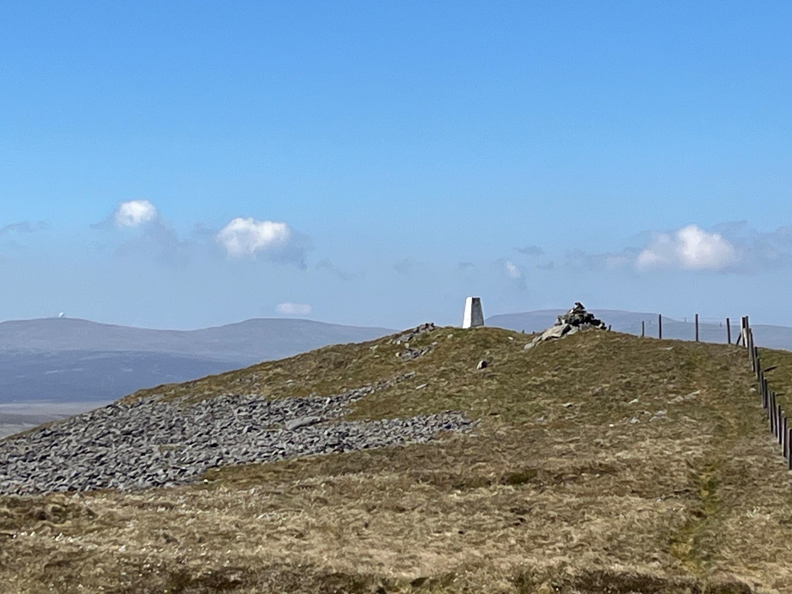
An optional out and back route from the watershed between Weardale and Teesdale (0.5km each way following the fence line to the white trig point at NY 82368 35940). This viewpoint at 708m high has panoramic views of Upper Teesdale, Weardale and the Pennine escarpment of Great Dun Fell (with its ‘golf-ball’ radar station), Little Dun Fell, and Cross Fell (the ‘top’ of the Pennines at 893m).

10

Coldberry End hush

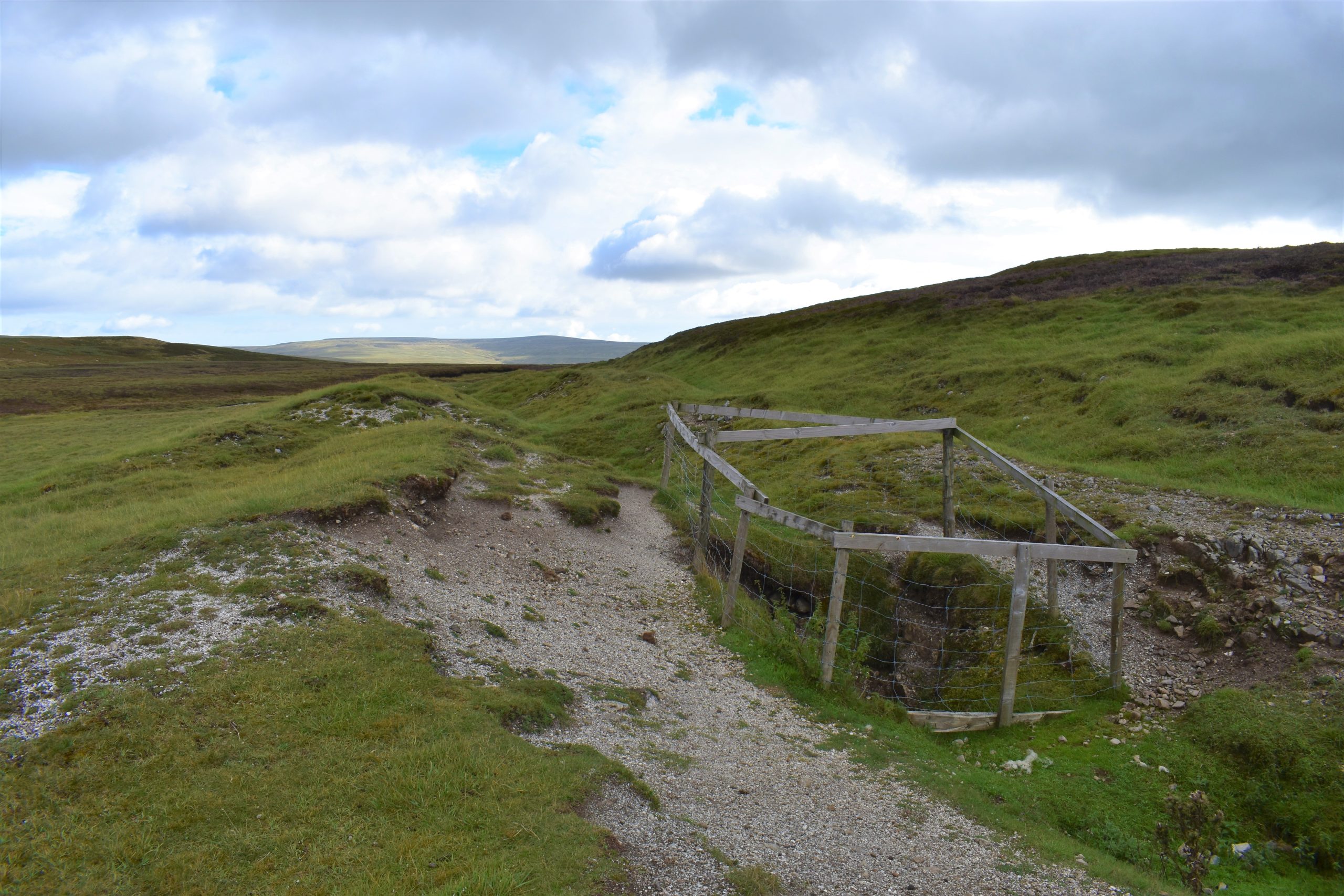
On the left side of the track, as you begin your descent, notice the rocky, linear feature. This was probably small-scale opencast mining for lead ore. It is associated with the Coldberry High Level, a disused lead mine. As you walk down into Teesdale there are lots of similar areas of old workings and spoil heaps dotted about in the landscape.

11

View of Cow Green Reservoir

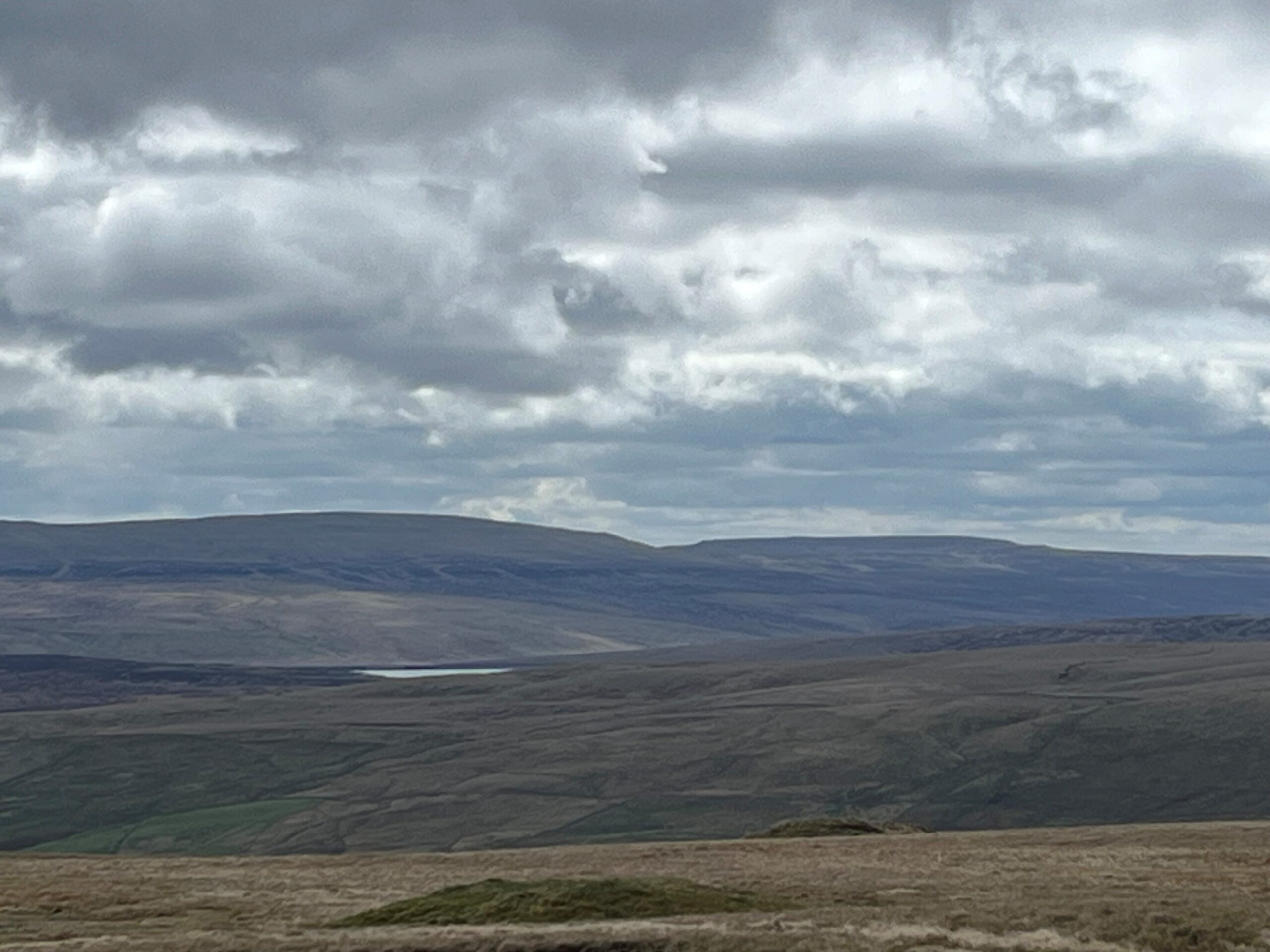
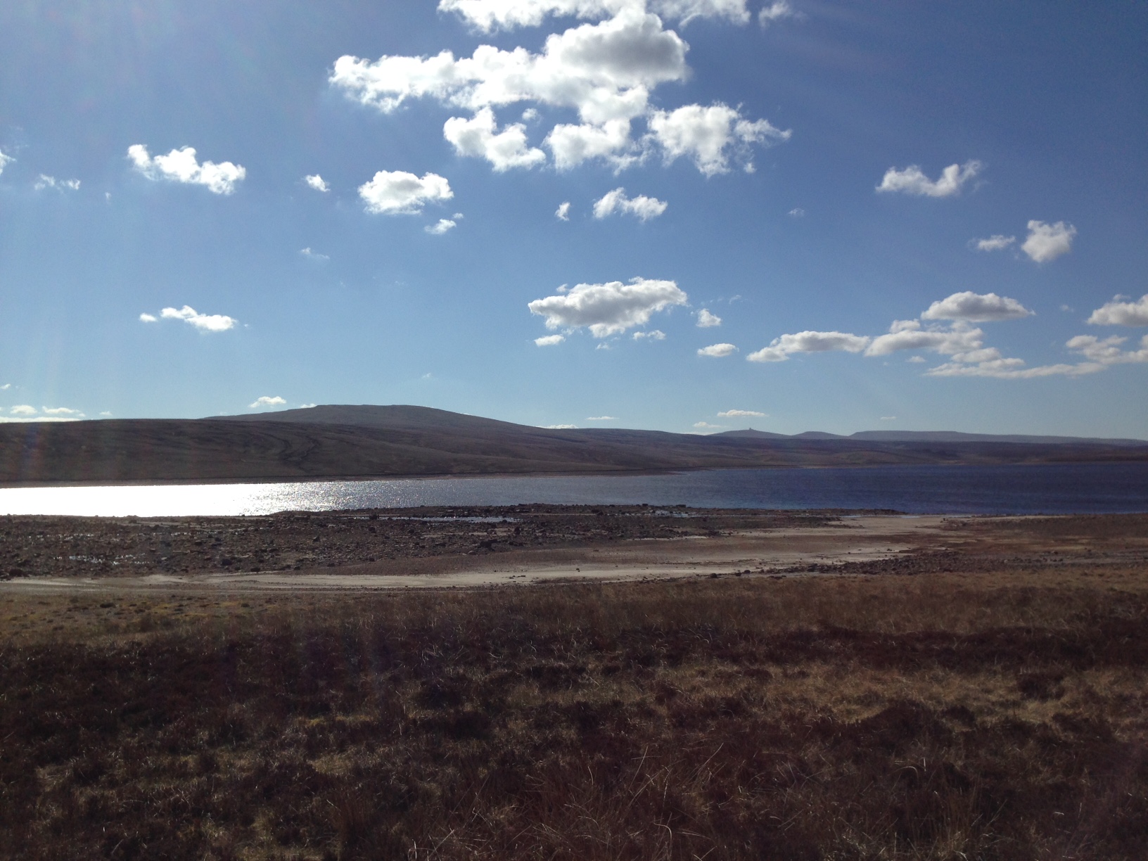
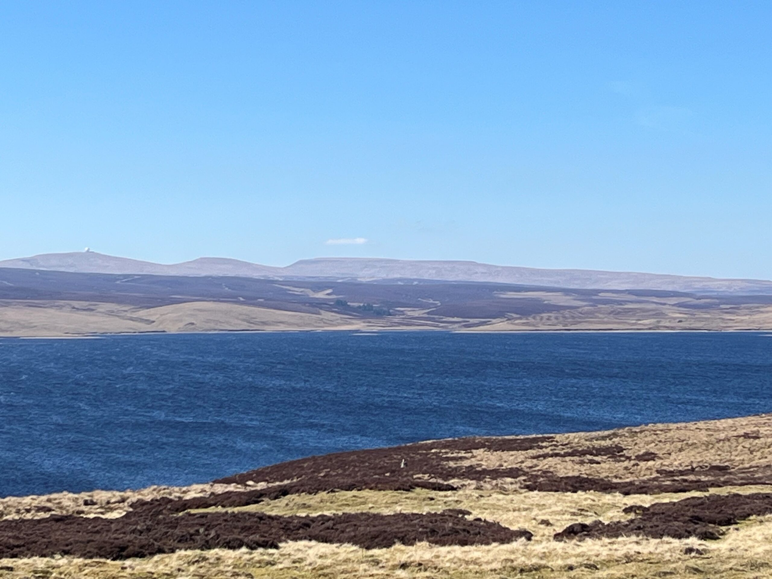
As you contour along the stone track, look to the southwest (straight ahead) and on a clear day you will just be able to see a body of water glinting in the distance. This is Cow Green Reservoir. Keep walking and in about 7km you will be walking alongside it.

12

Meldon Hill

As you reach the road look to your right and notice the hill in the distance. This is Meldon Hill, on the other side of Cow Green Reservoir. Smooth hill shapes like this are a legacy of the last ice age. About 20,000 years ago ice up to one kilometre thick streamed across the landscape, scouring and scraping the fells and dales.

13

Cow Green viewpoint

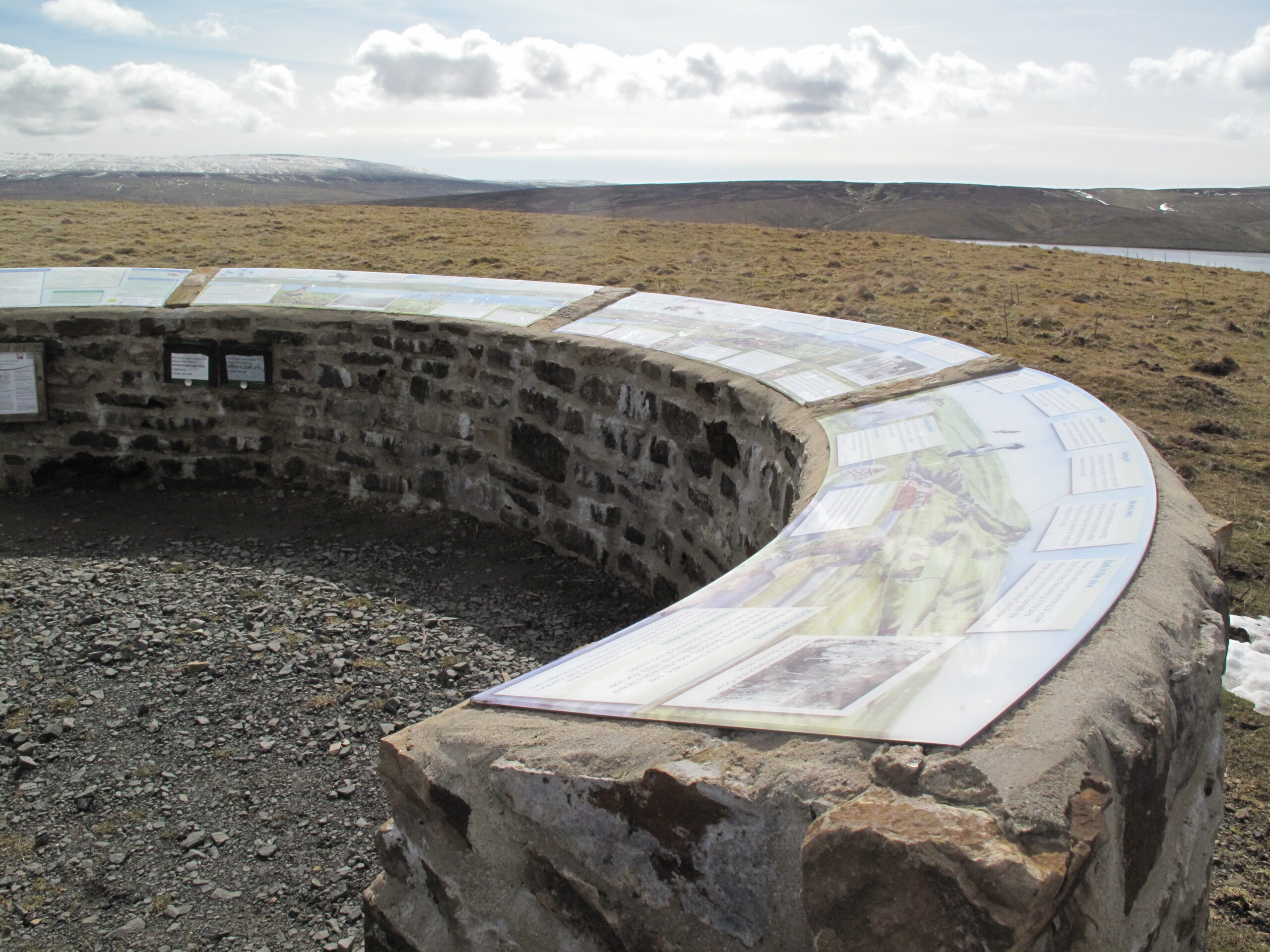
If you keep walking straight ahead on the road (instead of bearing left), in 0.5km you will reach a panoramic viewpoint overlooking Cow Green Reservoir. There are interpretation boards which explain the geology, wildlife and heritage of the area. It is also a Dark Sky Discovery Site. The North Pennines is the darkest mainland National Landscape, making it a great place for stargazing.

14

Cow Green Reservoir

Cow Green is a 3km long reservoir completed in 1971. It is a regulatory reservoir, meaning it releases water into the Tees during dry conditions. Its construction was controversial as campaigners were concerned that rare plants, such as the Teesdale violet, would be threatened. About a tenth of the Teesdale violet's habitat was destroyed by the reservoir's construction.

15

Slapestone Sike

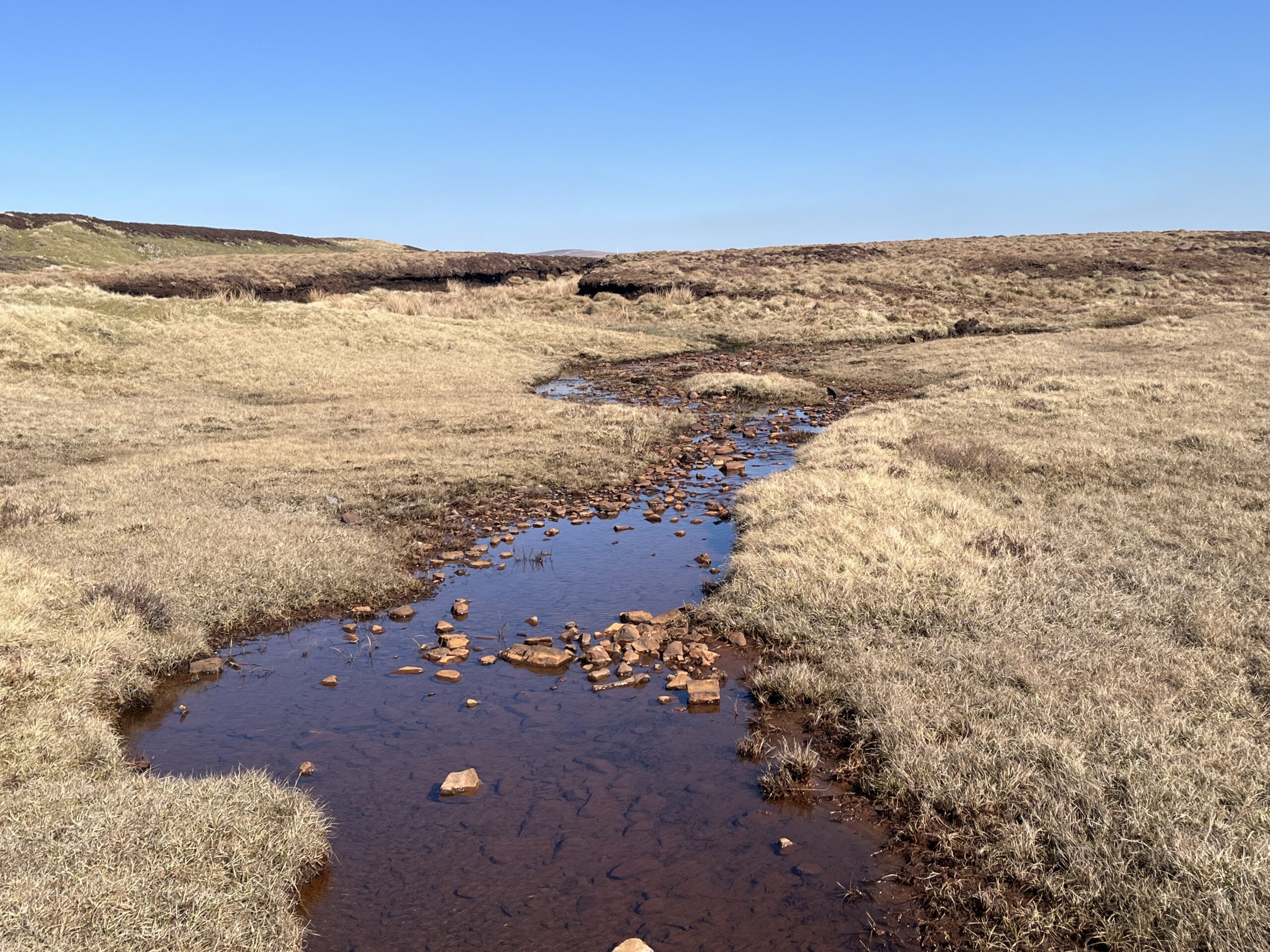
Cross over Slapestone Sike. Here the water emerges out of the limestone bringing with it dissolved minerals. This mineral-rich water produces flushes where bryophytes (mosses and liverworts), sedges and plants, such as bird’s-eye primrose, grow.

16

Rod's Vein

At point 6 on the numbered nature trail you can see a spoil heap and the concrete cap of Rod’s Vein, the remains of a baryte mine. The main entrance to the mine is now submerged under the reservoir. Veins are vertical bands of mineral that fill up fissures and faults within the surrounding rocks. Baryte was mined here until 1952 for use in the paint and chemical industries.

17

Sugar limestone

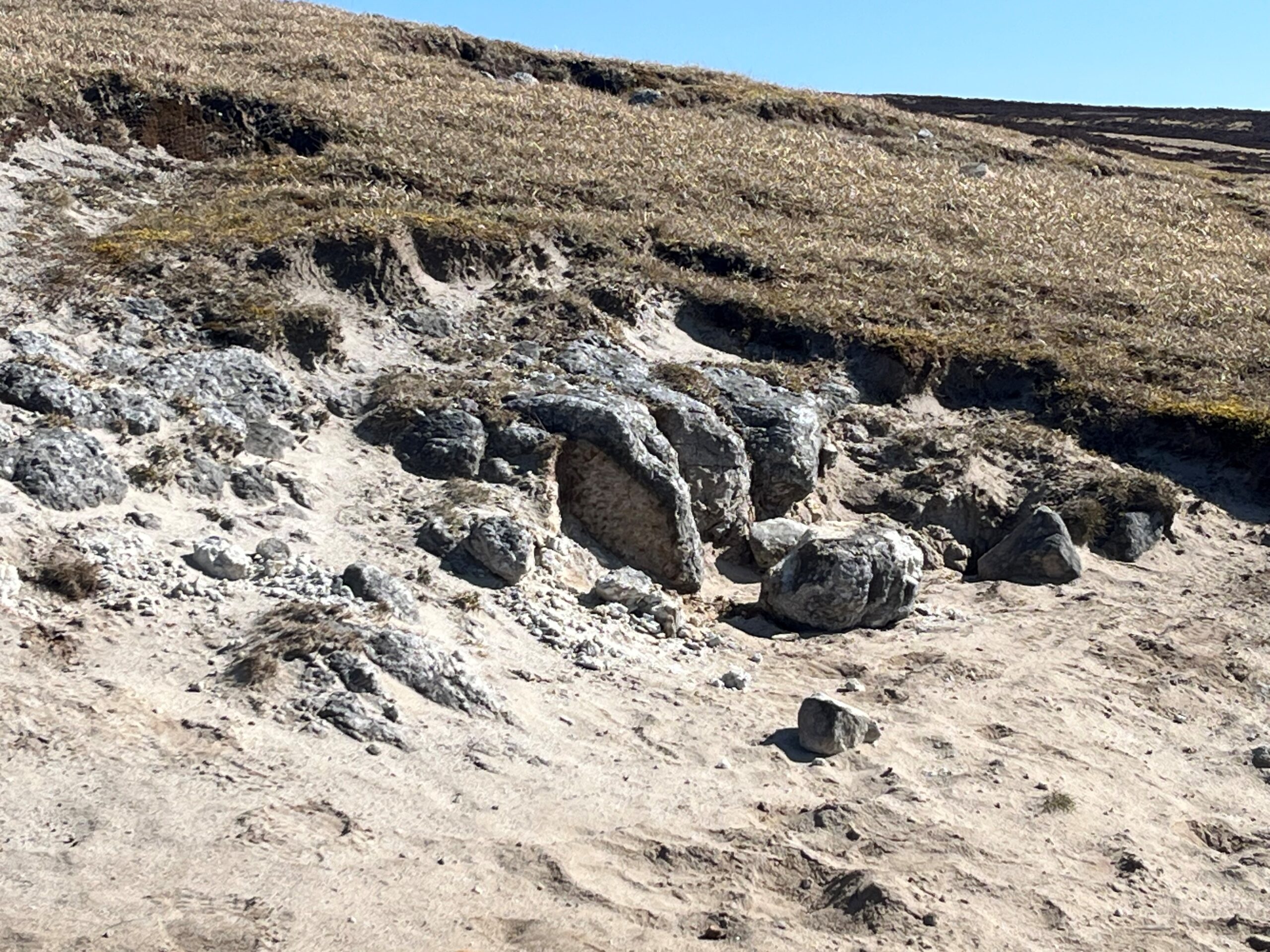
The crumbly white rock to the left of the road is known locally as sugar limestone. It is technically a marble, i.e. a limestone (in this case Melmerby Scar Limestone), that has been altered and recrystallized by intense heat from the Whin Sill. Such rocks are called metamorphic rocks. This special rock supports the ‘Teesdale Assemblage’, famous amongst botanists.

18

Flat-topped hills

Look across the reservoir at the distant flat-topped fells. Their bulky shapes and flat tops reflect horizontal layers of limestone, sandstone and shale.

19

Cow Green Dam

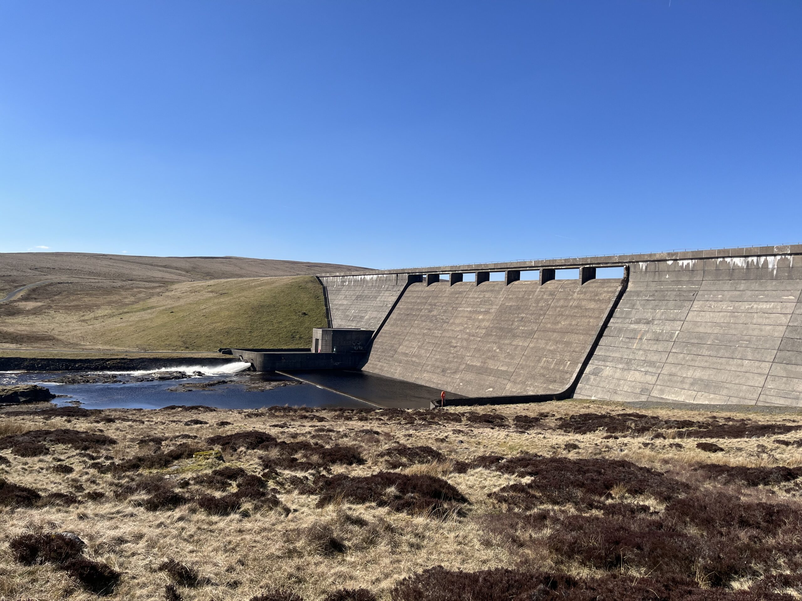
Because of the different geology on each side of the River Tees, the eastern (right) half of the dam is built of concrete tied into the Whin Sill, while the western (left) half is a earth dam built over boulder clay.

20

Top of Cauldron Snout

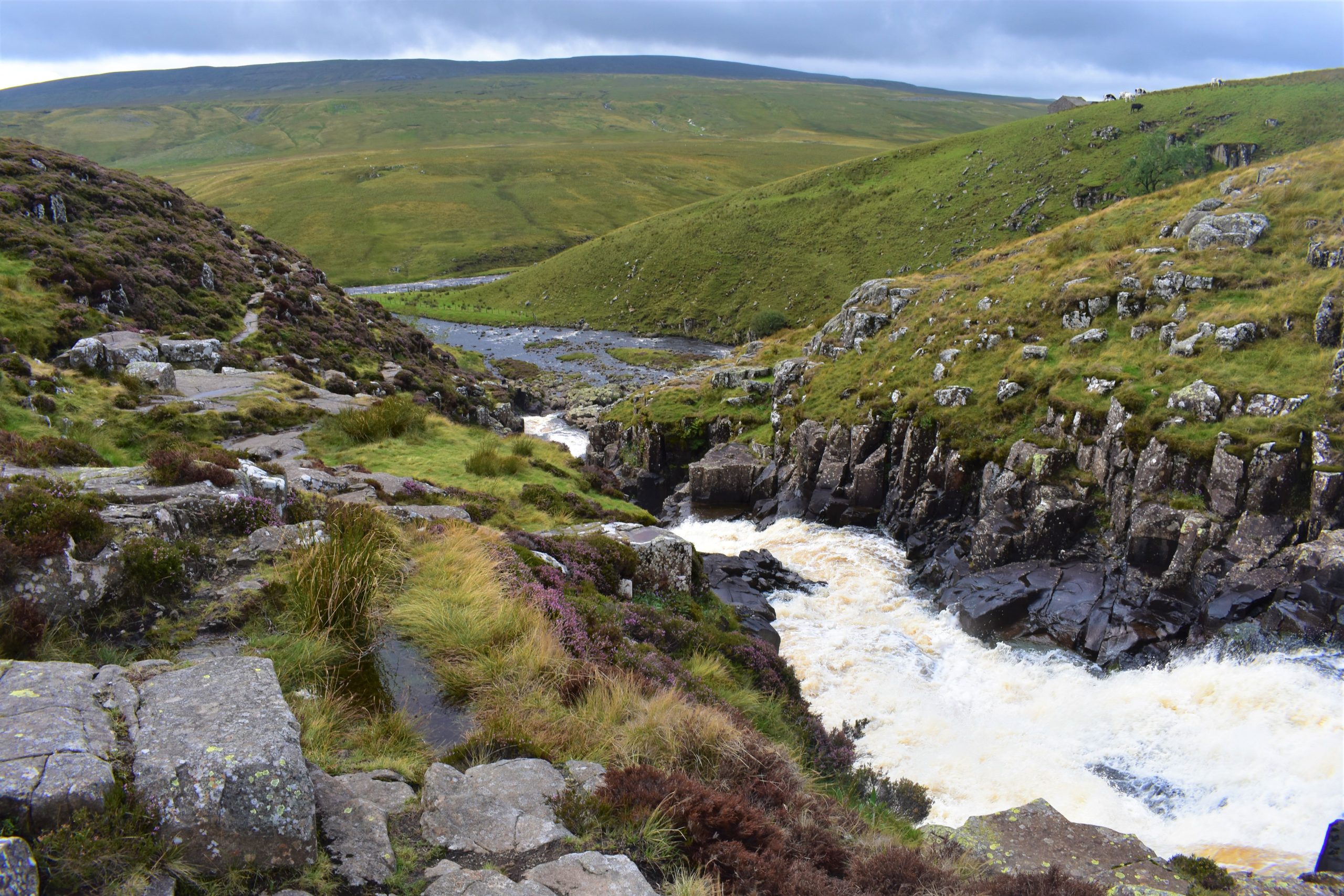
The waterfall at Cauldron Snout is formed as the River Tees flows across a very hard outcrop of the Whin Sill dolerite. Notice the vertical cracks in the rock which are known as columnar joints. They formed as the magma contracted during the final stages of cooling. This is similar to the formation of the famous columns at the Giant’s Causeway in Northern Ireland and Fingal’s Cave in Scotland.

21

Bottom of Cauldron Snout

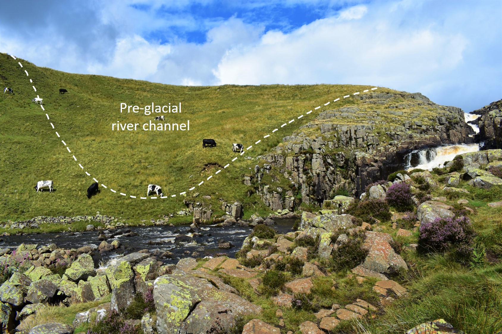
The Whin Sill dolerite forms both the lip of the waterfall and many small craggy outcrops. The smooth, grassy western bank is the old channel of the river, dating back to before the last glacial period, beginning around 115,000 years ago. The old valley filled up with boulder clay deposited by the ice. When the ice melted the river diverted and cut a new channel through the hard dolerite.

22

Falcon Clints

Between Cauldron Snout and Widdy Bank Farm the river flows in a steep-sided valley cut through the Whin Sill on the left. Downstream from the waterfall more sugar limestone may be seen beneath the dark grey crags of the Whin Sill. Notice the striking vertical columns of dolerite in the cliffs on Falcon Clints, and further downstream on Cronkley Scar.

23

Conglomerates

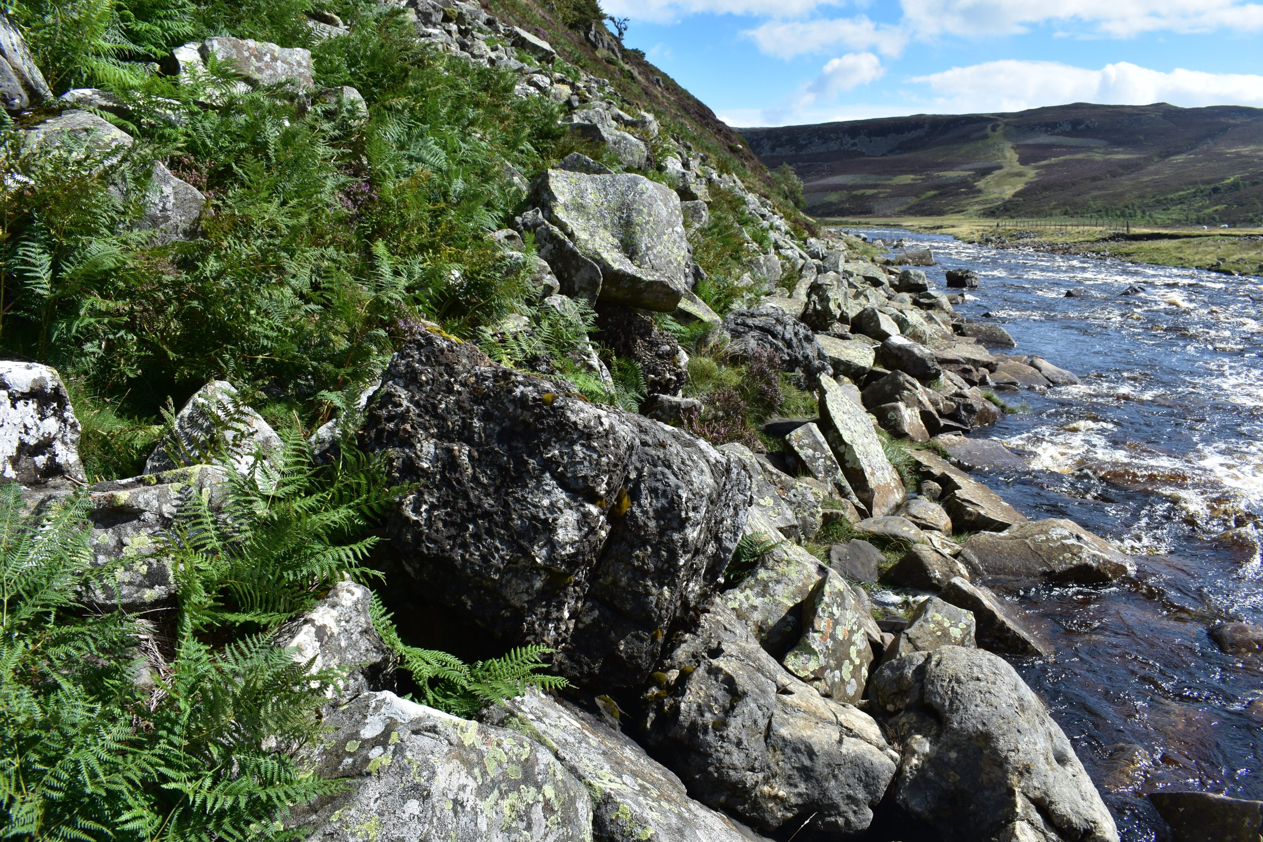
The footpath here crosses small outcrops of a darker, rubbly-looking rock known as a conglomerate. It is made up of pebbles of older rocks set in mud. The conglomerate dates back to the Carboniferous Period (350 million years ago) when an ancient mountain chain was being eroded. Over time the sea level rose and the conglomerate was buried beneath layers of limestone, shale and sandstone.

24

Finish

Finish of Roof of England Walk Leg 10 – St John’s Chapel to Saur Hill Bridge.

Introduction
01