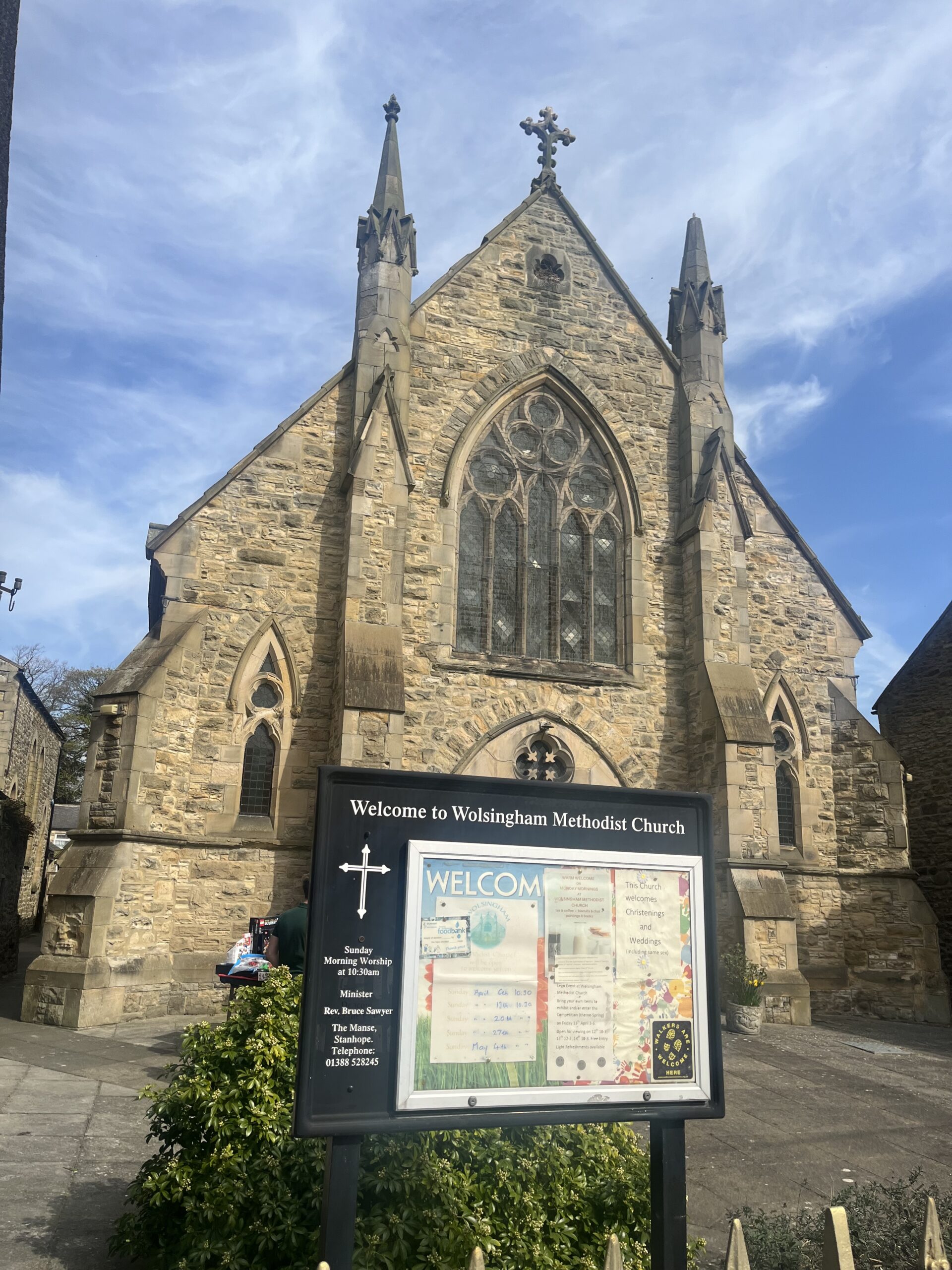
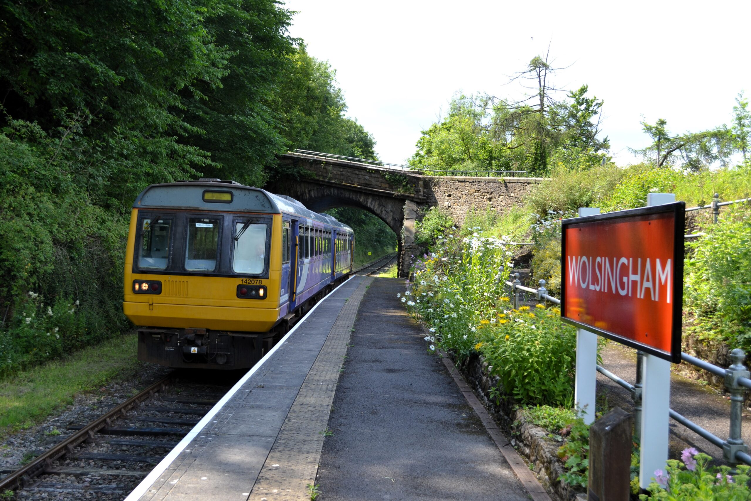
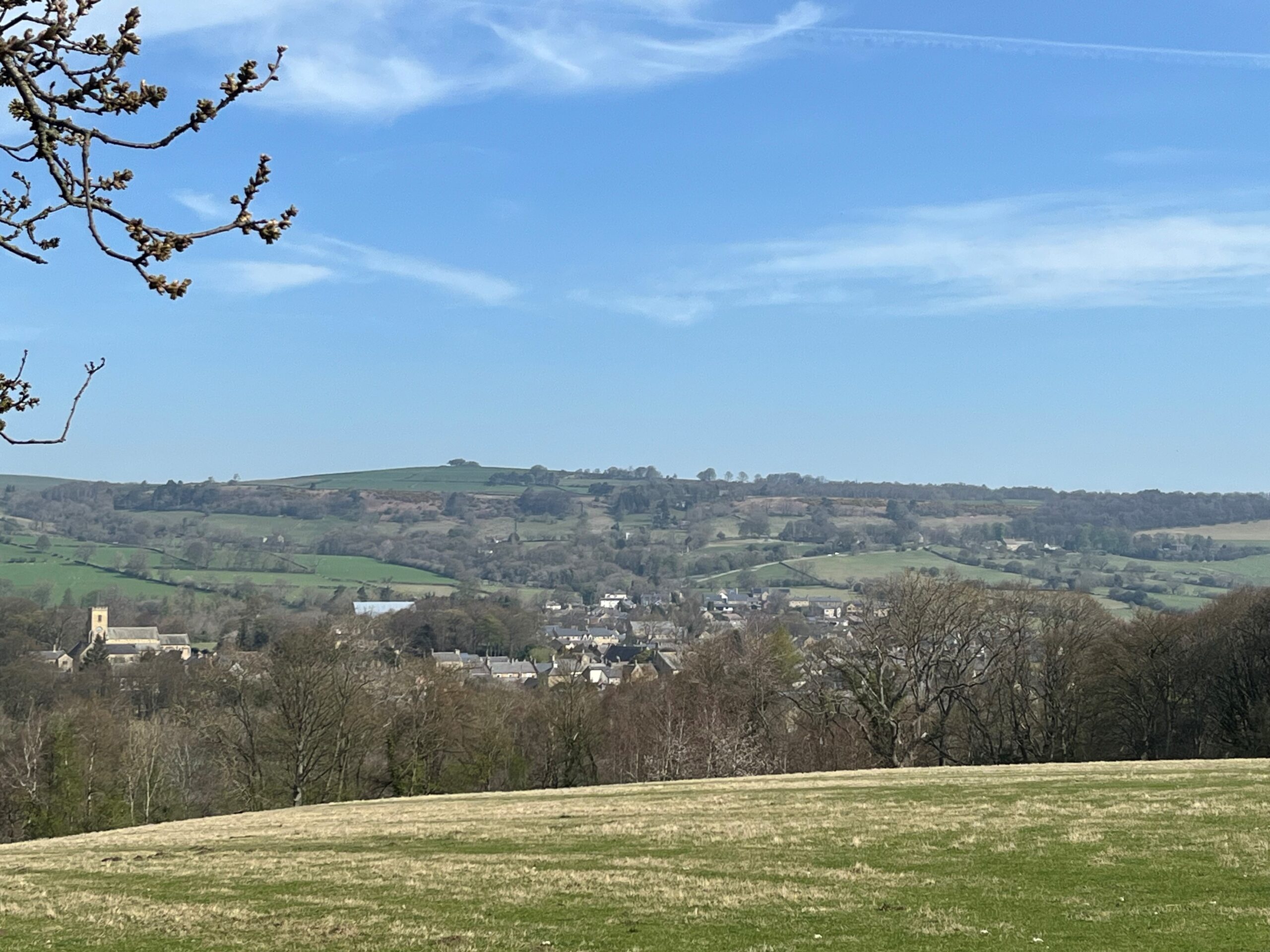
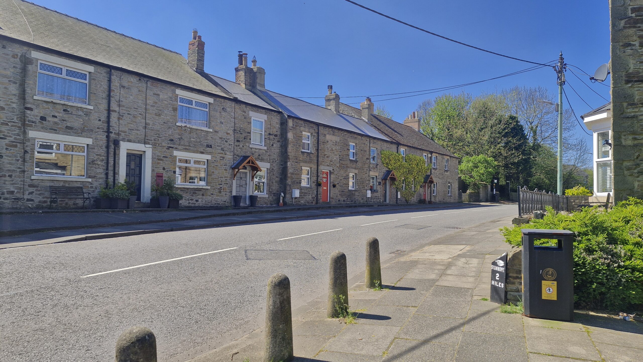
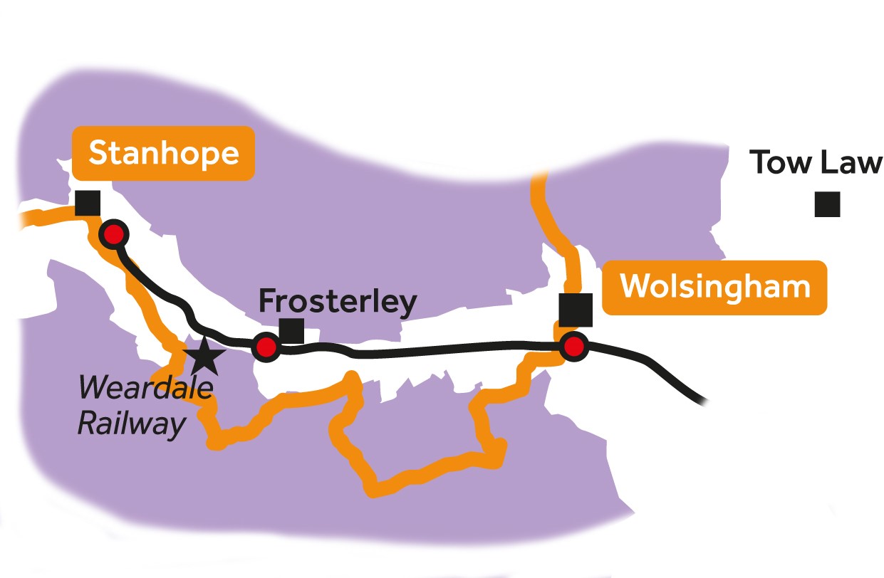
Leg 8Wolsingham to Stanhope

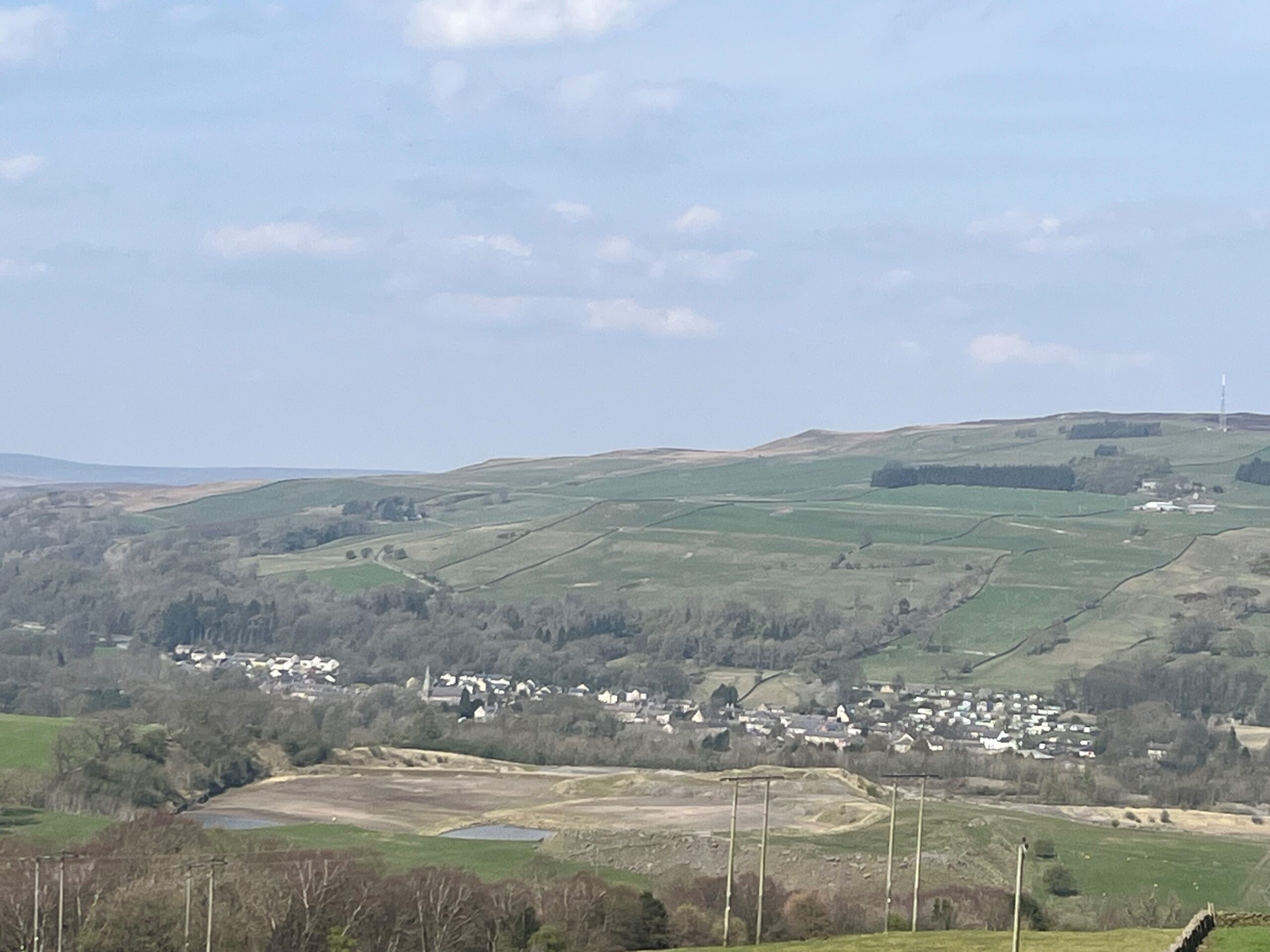
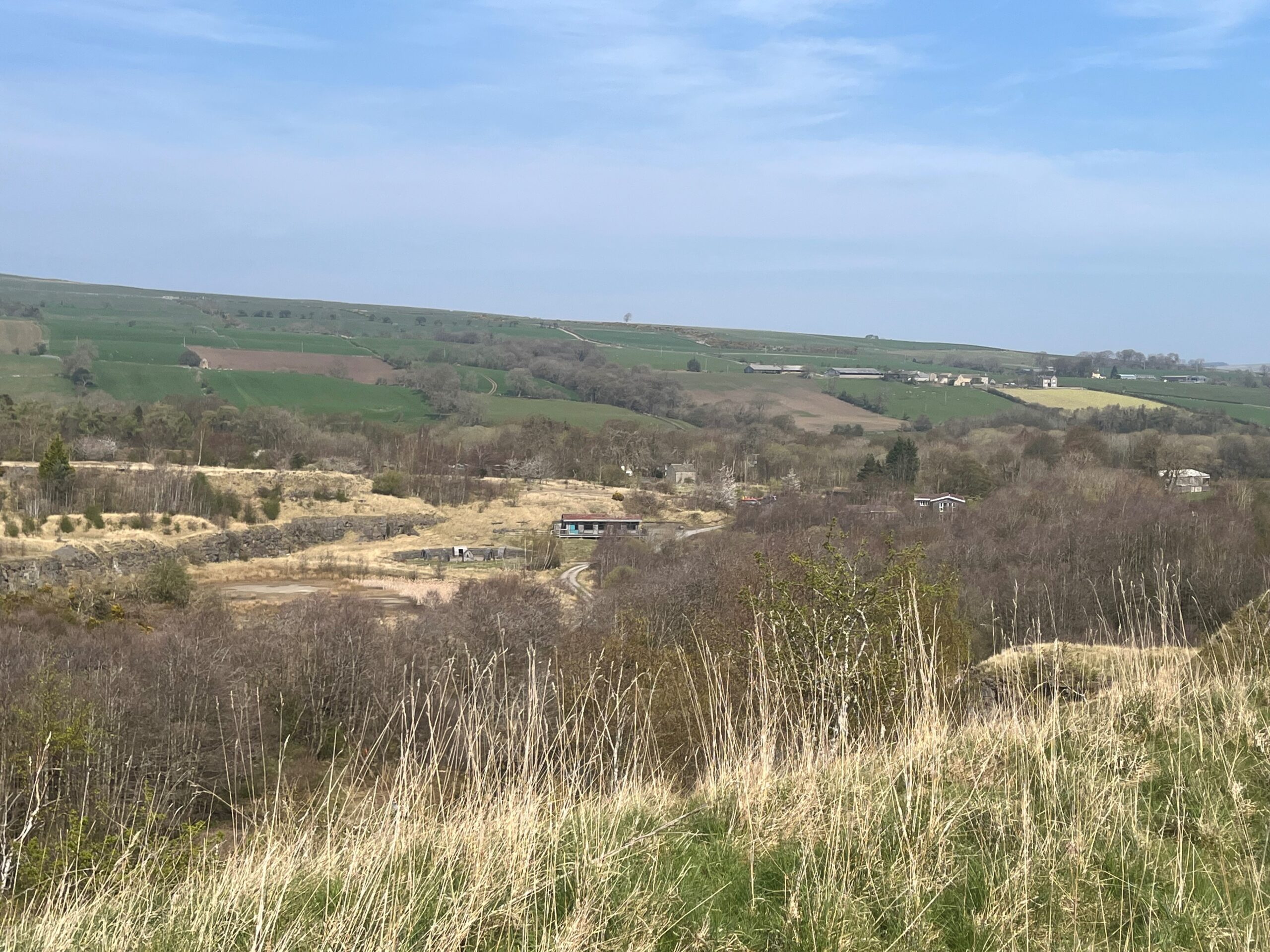
Leg 8 of the multi-day Roof of England Walk – a journey around the North Pennines. Starting from Wolsingham, gateway to upper Weardale, the route climbs the south side of the dale, with sweeping view as your reward. Linear route - 17km.

Windswept moors

A great day walking between Wolsingham and Stanhope and a brilliant opportunity to experience the stunning upland landscape of Weardale. Here you will find wind-swept moors, woods, wildlife, inky-black night skies and a fascinating mining and industrial heritage.

Disused quarries

It is a peaceful dale now but consider that, around a hundred years ago, 1,200 men worked in the quarries around Frosterley and Stanhope, producing some 20,000 tons of limestone a week. The many disused quarries are slowly being reclaimed by nature, creating rich habitats for nature. The rockfaces, spoil heaps and wet areas support many plants and animals and are particularly important for mosses, liverworts, lichens and invertebrates.

Roof of England Walk

Leg 8 of the Roof of England Walk follows the route of the Weardale Way between Wolsingham (NZ 07628 37271 and ///mild.cello.panics) and Stanhope (NY 99349 39159 and ///plugged.defeated.corrosive). To follow this leg and the Roof of England Walk you will need to be able to map read/use a compass.

Turn-by-turn directions for this leg (including maps) are available as a pdf download. You can also download a GPX file to use on your own device (phone, watch or handheld).

Terrain

Stony moorland tracks and grassy paths across fields. Stile and gates on the farmland sections. Can be muddy in places. Two significant climbs during the day.
Starts at 139m with a high point of 371m. Over the day there is 466m of climb. Please make sure you take a paper map with you (at least as a backup). Leg 8 is covered by the following OS Maps: Explorer – OL31; and Landranger – 92.

Responsible visiting

Please make sure you follow the Countryside Code (Respect, Protect, Enjoy – www.countryside-code.org.uk) and behave responsibly whist enjoying the Roof of England Walk.

Points of interest

1

Start

Start of Roof of England Walk Leg 8 – Wolsingham to Stanhope.

2

Wolsingham Methodist Church

The Methodist chapel on the right of the route dates to 1862. It is actually the third Wesleyan chapel to be established in the town. The first (est. 1776) in Meeting House Lane was in use until 1836. The second (larger, with Gothic windows) on the main street was in use from 1836. Methodism was a strong movement in the North Pennines, taking root in the lead mining communities.

3

Weardale Railway

The trail crosses the route of the Weardale Railway with Wolsingham Station is to your left. The line originally ran from Bishop Auckland to Wearhead, a distance of 25 miles. It was started as an offshoot of the Stockton & Darlington Railway in 1847 to transport material to the ironworks of Teesside and, by 1895, it had been extended along the dale as far as Wearhead.

4

Wolsingham

Take a look to your right, there is a good view of Wolsingham.

5

Heather moorland

Large parts of the North Pennines are managed as grouse moors. As you walk across the moor, you will notice patches of heather which have been burnt. This is carried out by gamekeepers between 1 October and 15 April. The intention is to encourage the growth of fresh heather shoots for grouse (and sheep) to eat.

6

Adders

You might see adders along tracks like this. They are the only venomous snake in the country. Adults are usually 60–80cm long, with a zigzag pattern along the centre of the back. If you do see one, remember ‘SSS’ – Stop, Step back, Smile. They are shy and will usually move away. Keep dogs on leads and never try to touch or pick one up. You can submit any sightings to iRecord.

7

The Elephant Trees

The route turns right downhill just before you reach the small clump of trees, known locally as the Elephant Trees. You will have seen this prominent feature on the skyline yesterday on leg 7 as you approached Baal Hill House in the Tunstall Valley.

8

View of Frosterley

As you walk downhill, notice the village nestled in the bottom of the dale. This is Frosterley, a small village of stone-built terraces, former quarrymen's cottages. The Great Limestone outcrops at river level here and so it was a focus for quarrying in the 19th century. Originally it was the terminus of the Weardale Railway, which opened from Witton Junction on 8 August 1847.

9

Frosterley

The route turns left here and follows the track along the top of Harehope Quarry. If you want to visit Frosterley carry straight on, downhill, past the entrance to the disused quarry, cross over the railway and the River Wear and turn left on the A689. It is about a km away. To rejoin the route either retrace your steps or follow the minor road to White Kirkley.

10

Harehope Quarry

Harehope Quarry is a Local Wildlife Site with areas of wet woodland, species-rich limestone grassland and ponds and rivers. A former limestone quarry which began on a small-scale in the 12th century with larger-scale quarrying between 1901-31 and 1954-87. It is now run and managed by Aquatic Environments, with the help and support of the Harehope Quarry Project, a workers’ co-operative.

11

Frosterley Marble exposure

This is an optional out and back to see an exposure of Frosterley Marble in the stream bed. Continue downhill for 100m (on a permissive path) through a gate and down some stone steps to a wooden footbridge. Frosterley Marble is a fossil-rich limestone that is found near the top of the Great Limestone and is exposed and polished by the riverbed at the western end of the quarry.

12

Harehope Gill Lead Mine

To the right of the panel is the remains of the old mineshop. Just as you cross the stream look left and glimpse the old horse level mine entrance. The mine dates back to 1769 when the London Lead Company first leased this land. The mineshop is where miners lodged during the week, while their family stayed at home and worked the land.

13

Bishopley Limekilns

The limekilns were built around 1847 and were originally owned by the Wear Valley Railway Company. Limestone came by rail from the quarries nearby. They eventually fell into disuse with production later reinstated in a couple of kilns. In the last period of working, ending around 1975, limestone came from Broadwood Quarry, and lime was sent in lorries as far afield as Dumfries.

14

Fine Burn Quarry cutting

This path and the cutting you are walking through is the old route of the railway which was used to transport limestone to the Bishopley Limekilns less than a kilometre away. In the kilns the limestone was processed to produce quicklime, for use in agriculture and for mortar in the building industry.

15

Parson Byers Quarry

The rock face stretching out in front of you is the disused Parson Byers Quarry. It is one of many in Weardale which worked the 20m-thick Great Limestone. The rock won has been used as a flux in iron and steel making, and for making lime, cement, aggregate and roadstone. The industry flourished with the coming of the railway in the mid 1800s and continued for 100 years.

16

To visit Stanhope

At the entrance to Heather View Caravan Park, the Roof of England Walk continues following the Weardale Way but if you intend visiting Stanhope you can continue following the minor road, downhill and to the right. Cross over the Weardale Railway and the Wear and when you reach the A689 turn left.

17

Stanhope

As you approach the end of leg 8, the settlement on the other side of the River Wear is Stanhope, the ‘capital of the upper dale’. St. Thomas’ Church dates to the 13th century. The fossil tree in the church yard is worth seeing. Stanhope Old Hall was founded in the 13th century and was one of the largest fortified houses in Weardale. Stanhope Castle in the market place was built in 1798.

18

Finish

Finish of Roof of England Walk Leg 8 – Wolsingham to Stanhope.

Introduction
01