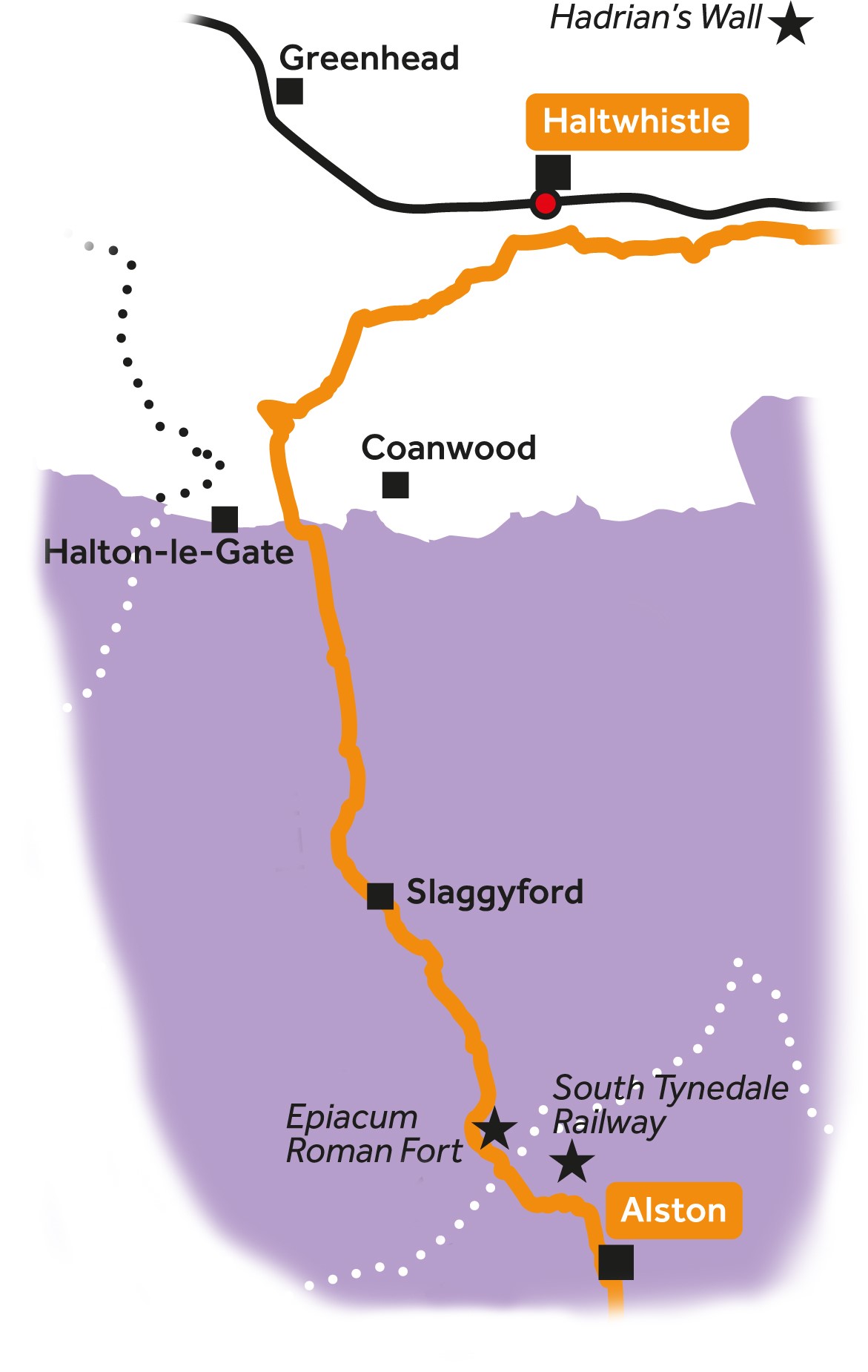
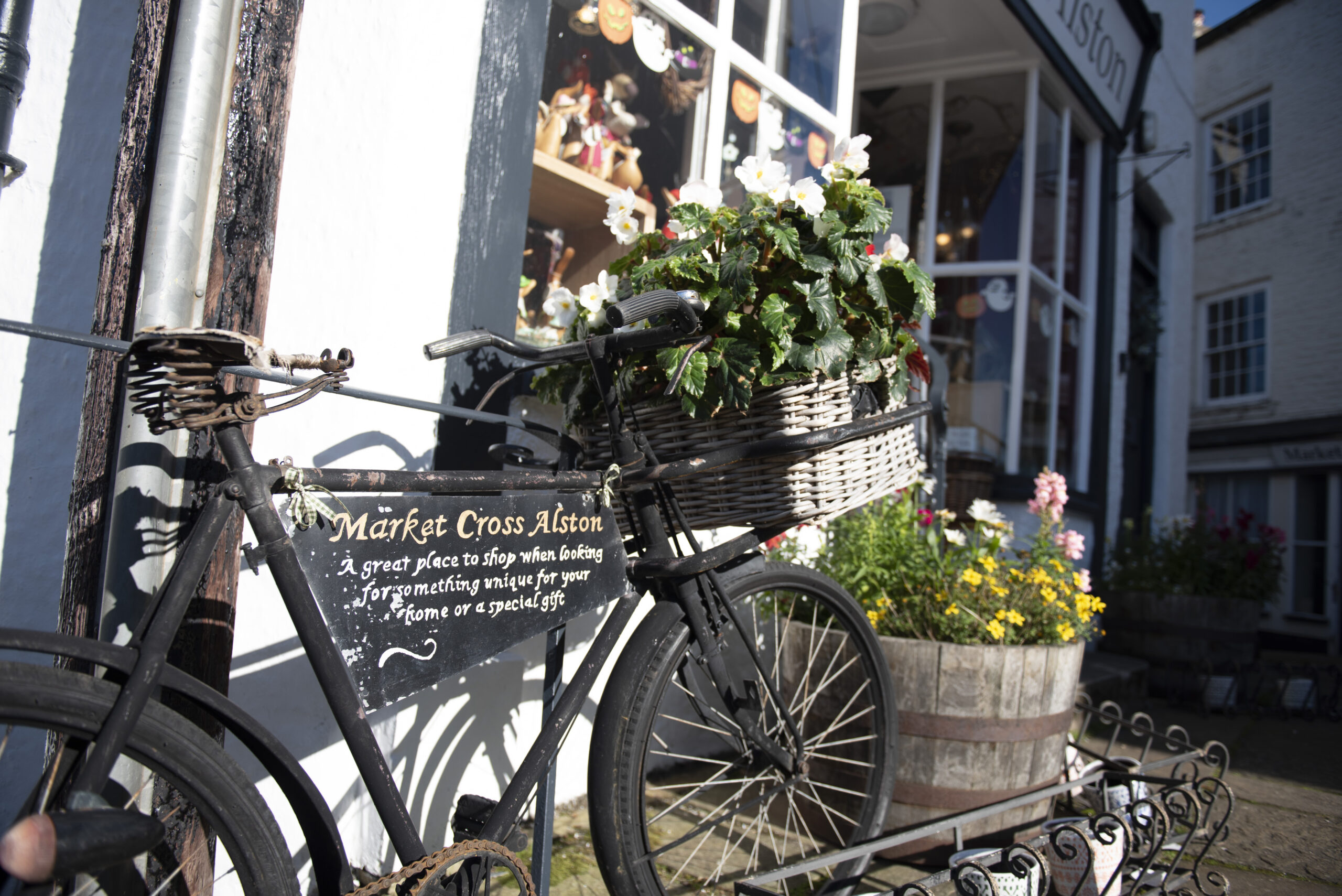
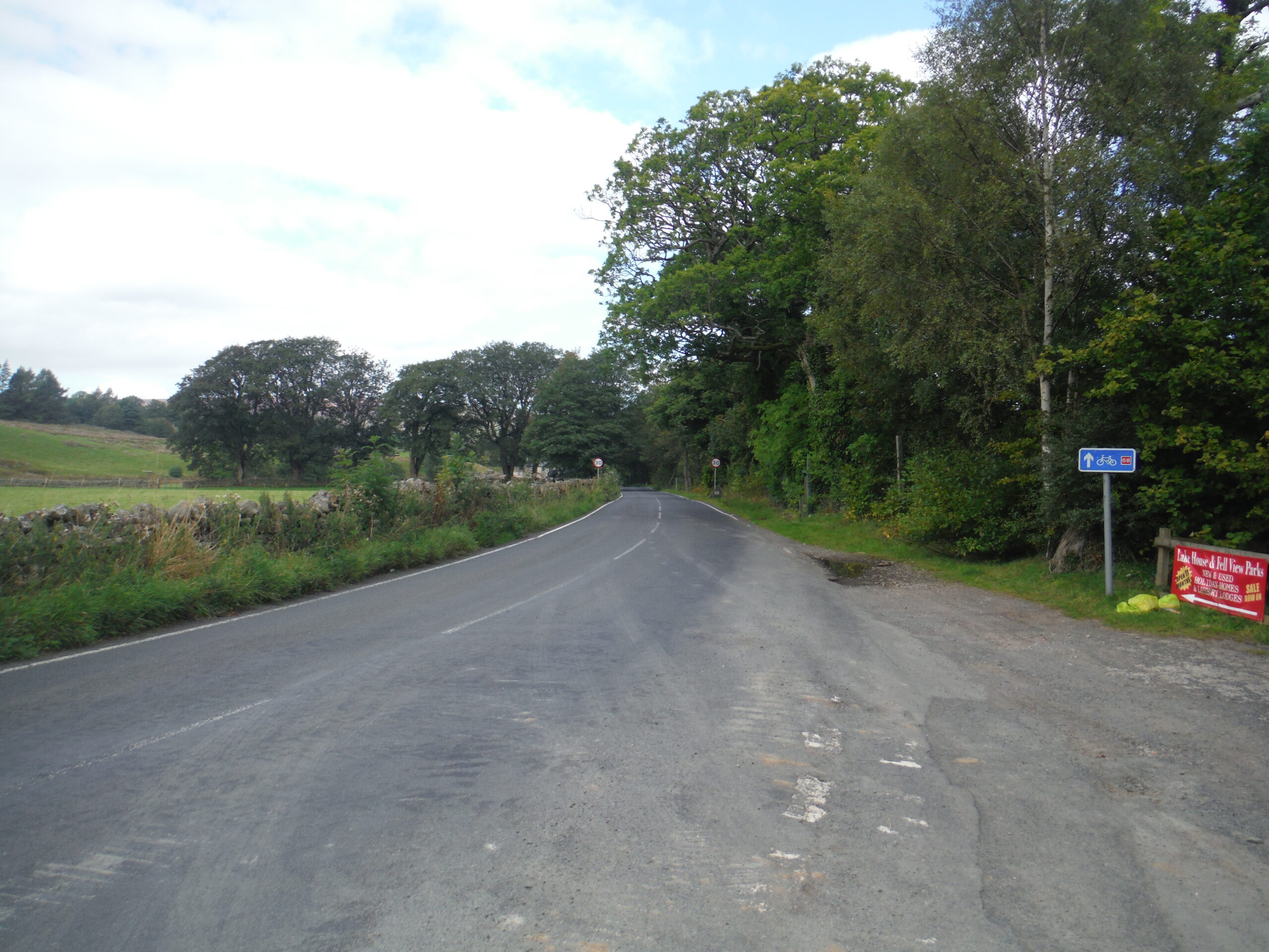
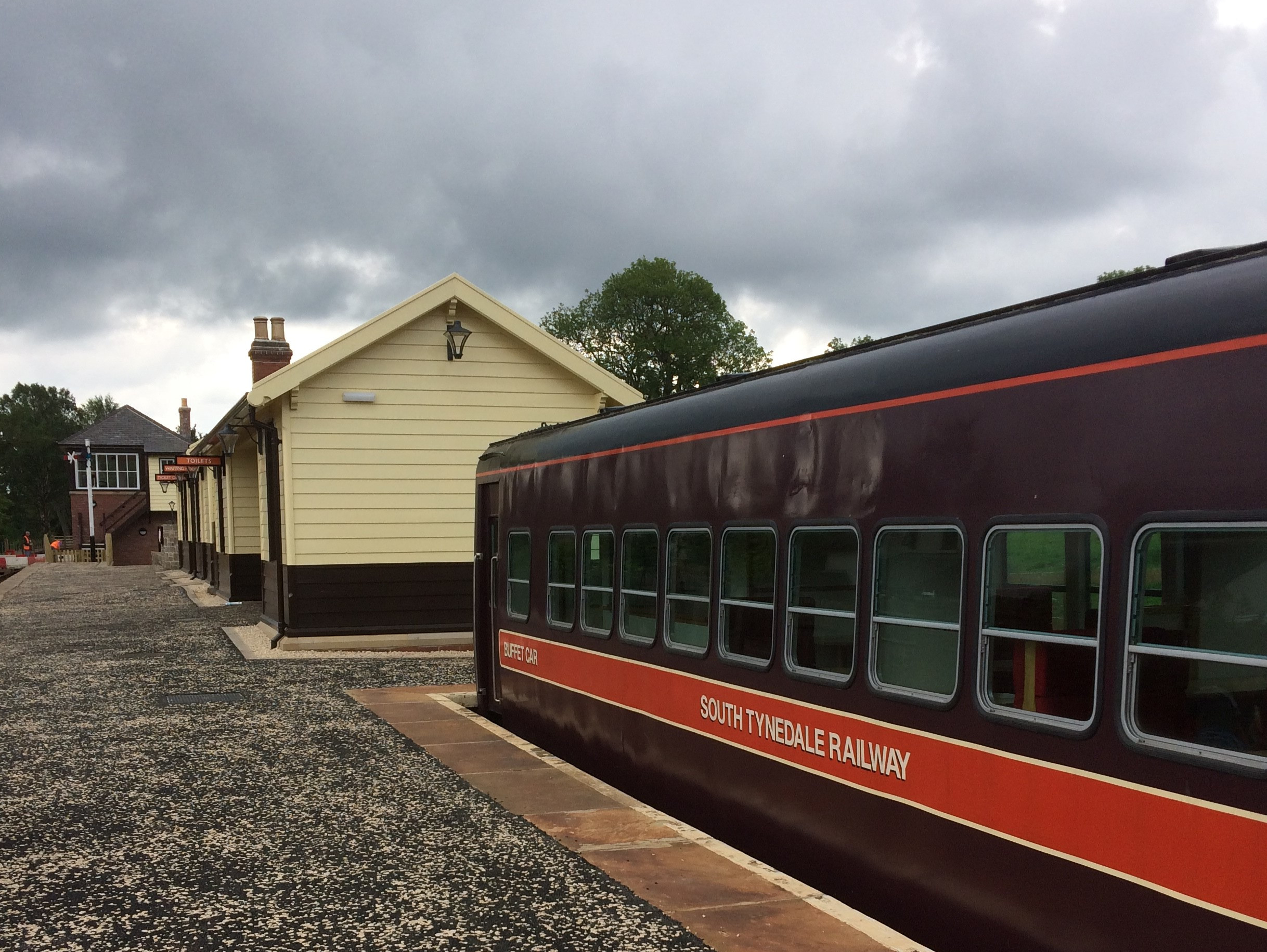
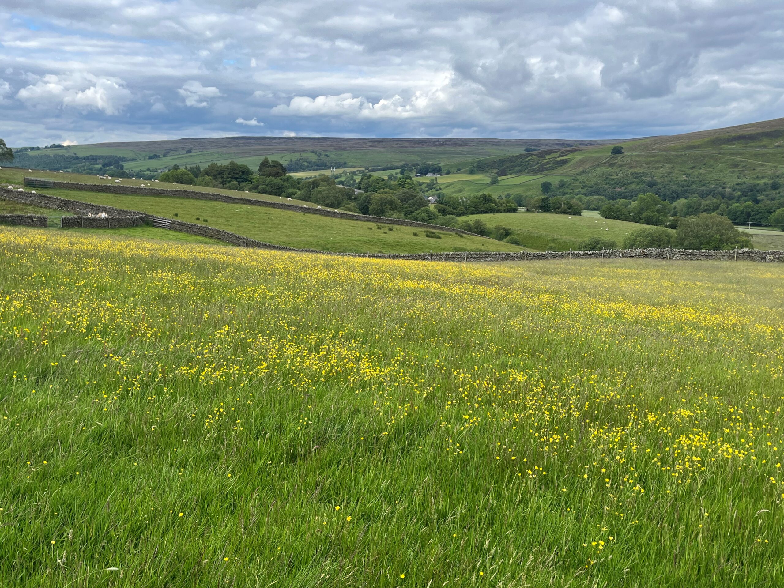
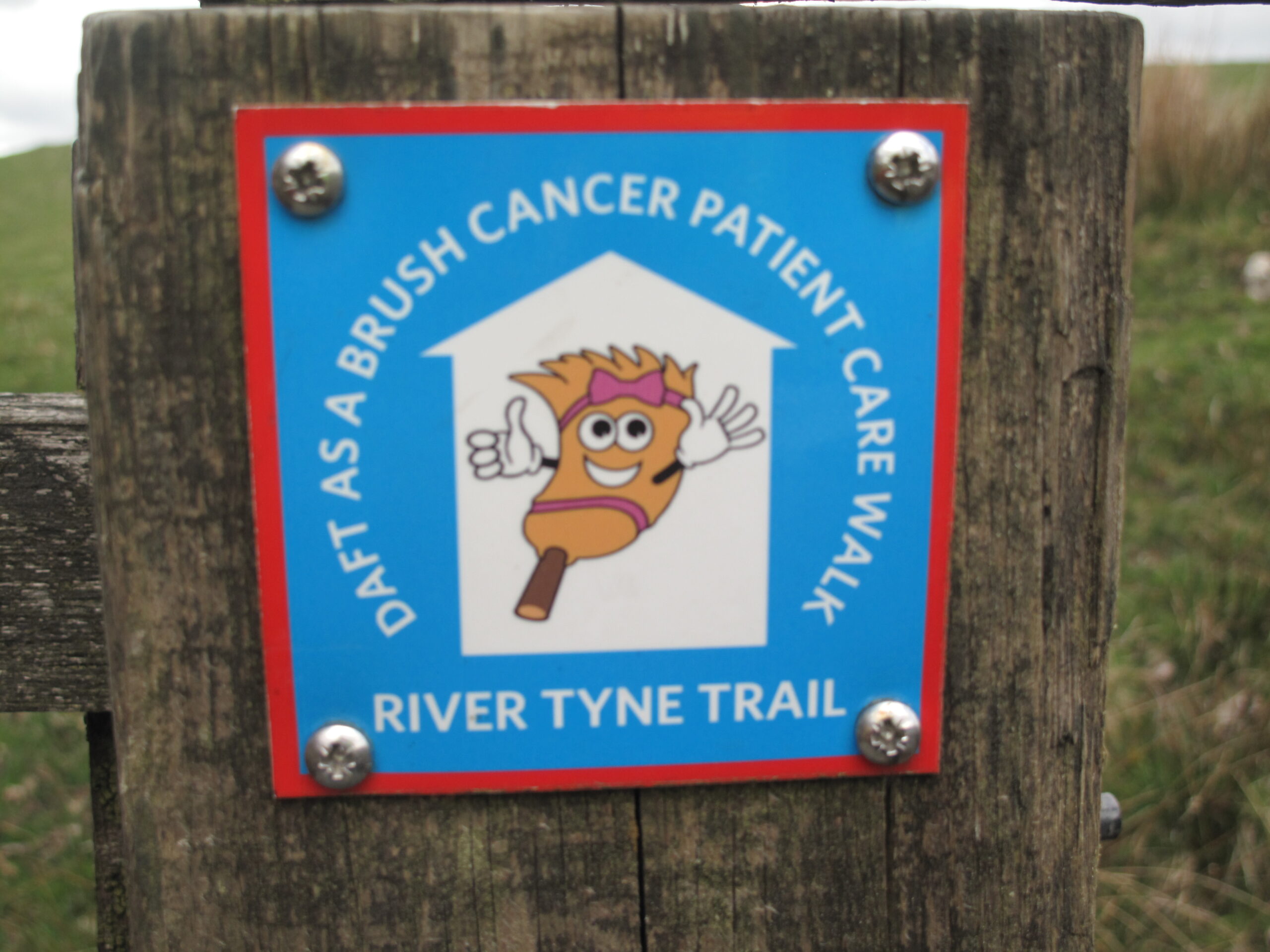
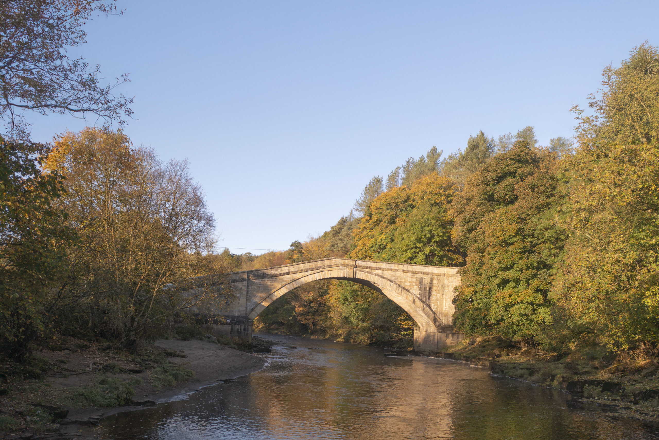
Leg 3Alston to Haltwhistle

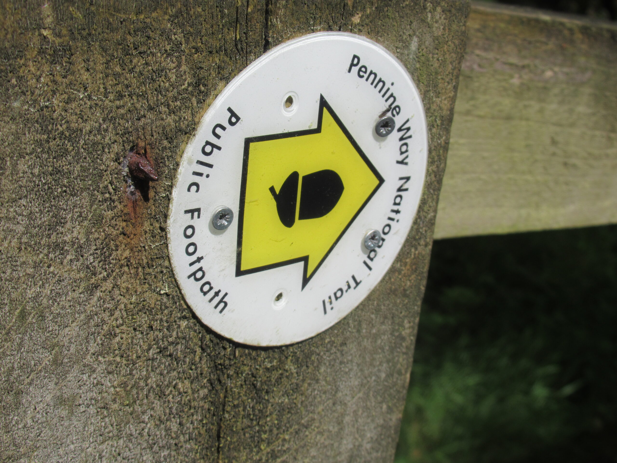
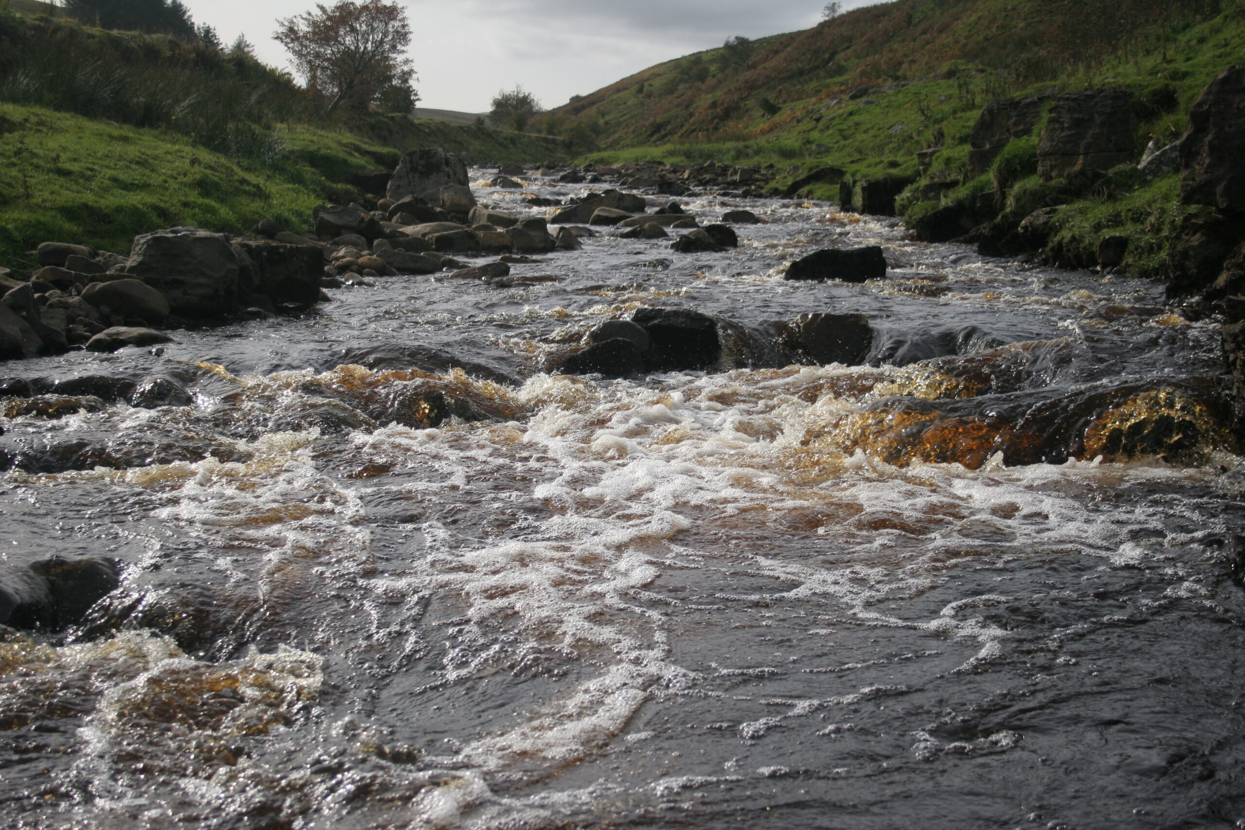
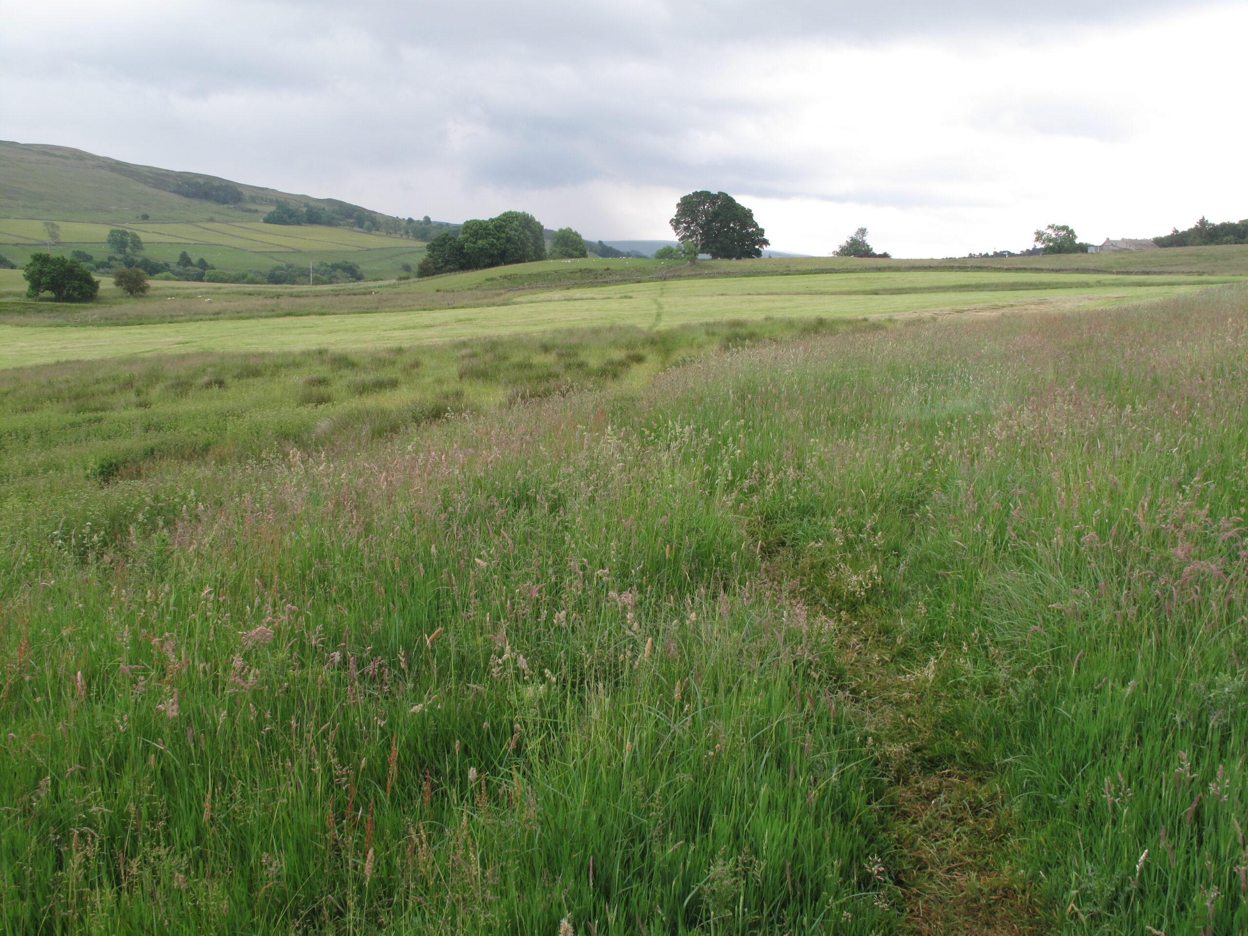
Leg 3 of the multi-day Roof of England Walk – a journey around the North Pennines. This leg follows the River South Tyne all the way from Alston to Haltwhistle. Expansive views of the South Tyne Valley are a treat today. Linear route – 23.8km.

The South Tyne Valley feels like a gloriously undiscovered place – the tumbling river fringed with ancient woods, leading the eye to the wide-open moorland beyond.

Epiacum Roman Fort

Today you pass the impressive Epiacum Roman Fort and walk some of the route of the Maiden Way Roman Road, possibly spot a stream engine on the South Tynedale Railway and wander on riverside paths.

Roof of England Walk

The first 18km of Leg 3 of the Roof of England Walk shares the route of the Pennine Way National Trail. After a section linking the Hartley Burn to the South Tyne the route joins the River Tyne Trail all the way to Haltwhistle.

It takes you from Alston (NY 71686 46100 and ///wipe.headlines.passport) to just south of Haltwhistle (NY 70350 63183 and ///savers.enchanted.cages). To follow this leg and the Roof of England Walk you will need to be able to map read/use a compass.

Turn-by-turn directions for this leg (including maps) are available as a pdf download. You can also download a GPX file to use on your own device (phone, watch or handheld).

Terrain

Valley walking, with short climbs up and down the South Tyne Valley. Field paths and tracks and some muddy riverside paths. Stiles and gates and boggy moorland paths.

Starts at 278m with a high point of 341m. Over the day there is 477m of climb. Please make sure you take a paper map with you (at least as a backup). Leg 3 is covered by the following OS Maps: Explorer – OL31 and OL43; and Landranger – 86.

Responsible visiting

Please make sure you follow the Countryside Code (Respect, Protect, Enjoy – www.countryside-code.org.uk) and behave responsibly whist enjoying the Roof of England Walk.

Points of interest

1

Start

Start of Roof of England Walk Leg 3 – Alston to Haltwhistle.

2

Alston

If you turn right here, you will be in the centre of Alston after walking for 400m. The town has buildings dating back to the 17th century, but its main expansion came in the mid-18th century when larger scale mining developed. Today Alston has a much smaller population than its peak in the 1840s, but it retains a strong identity in its historic buildings, small businesses, and active community.

3

Pennine Way National Trail

The first 18km of Leg 3 of the Roof of England Walk route coincides with the Pennine Way. The trail starts in Edale, in the Peak District, and finishes 431km (268 miles) later at Kirk Yetholm, in the Scottish Borders. A quarter of the route is within the North Pennines National Landscape. The Pennine Way was Britain’s first National Trail, and in 2025 it marked its 60th anniversary.

4

County boundary

The footbridge over the Gilderdale Burn marks the county boundary between Cumbria and Northumberland.

5

Epiacum Roman Fort

As you stand above Epiacum Roman Fort imagine being stationed here in Roman times, it must have felt a long way from Rome. The fort was probably built at about the same time as Hadrian’s Wall in the AD120s. Its purpose being to exercise control over lead and silver mining in the area. It has an unusual diamond-shaped layout and a series of well-preserved ramparts.

6

Nook Farm Shop & Cafe

If you walk down through the Roman Fort and pick up the track down to the A689 you will find the Nook Farm Shop and Café. They are open most days but phone or check their Facebook page before walking down the hill.

7

South Tynedale Railway

If you are lucky, you might see trains on the narrow gauge, South Tynedale Railway which runs up and down the South Tyne Valley between Alston and Slaggyford. The original Haltwhisle to Alston Branch Line came into service on 17 November 1952 and ran until 1976.

8

Isaac's Tea Trail

You have been following the route of Isaac’s Tea Trail since Alston, as well as the Pennine Way. The routes diverge here though – with the Tea Trail heading east to cross Kirkhaugh Bridge, across the South Tyne, and up and over the hills, into the West Allen Valley.

9

Maiden Way Roman Road

You are walking on the route of the Maiden Way Roman Road. It is a 32km route which linked the Roman fort of Bravoniacum (Kirkby Thore), near Penrith with Magnis (Carvoran) on Hadrian’s Wall. Epiacum Roman Fort is halfway along the road. In effect it served as a shortcut for supplies destined for the central and eastern parts of the Wall.

10

A689

Take care as you turn right onto the A689 and follow it into the centre of the small settlement of Slaggyford.

11

Slaggyford

Slaggyford takes its name from the Old English for a muddy ford. The small village was served by the Alston Railway Line which ran between Haltwhistle and Alston between 1952 and 1976.

12

Slaggyford Station

If you keep walking up the road for about 100m you will reach the narrow gauge South Tynedale Railway and Slaggyford Station. The line extension from Lintley to Slaggyford was completed in 2017 and, during the season, regular passenger services run to the village once again. At the station you will find toilets and the Little Buffet Car – both of which are usually open when trains are running.

13

The South Tyne Valley

The South Tyne Valley feels like a gloriously undiscovered place – the tumbling river fringed with ancient woods, leading the eye to the wide, open moorland beyond. In the summer months colourful hay meadows add to the flavour of the valley.

14

Burnstones Railway Viaduct

As you turn left and walk along the A689 (care) notice the impressive viaduct. This is the Burnstones viaduct, a Grade II listed structure. It was constructed by Sir George Barclay Bruce in 1852 to carry the Haltwhistle to Alston branch line, over the Thinhope Burn. It has six arches, with the most northerly one having a significant skew to carry the railway over the road.

15

Maiden Way Roman Road

As you make the climb up and across Lambley Common consider that you are still following the route of the Maiden Way Roman Road. After Roman rule came to a close in Britain the route would have been used as a drovers’ road. It was probably named after the Maiden Castle fort which guarded the Stainmore Pass, east of Brough.

16

A689

Take care crossing over the A689, it can be fast and busy.

17

Hartley Burn footbridge

On the other side of this footbridge, over the Hartley Burn, the Roof of England Walk route parts company with the Pennine Way. Instead of turning left, bear right across the field.

18

Featherstone Castle

As you cross over the River South Tyne if you glance to the right, you will see the impressive Featherstone Castle. It is a Grade I listed Gothic-style country mansion, with elements dating to the 13th century. The tallest tower is 14th century. The castle has its origins in the medieval period when the Featherstonehaugh family owned the manor of Featherstone.

19

River Tyne Trail

On the other side of the footbridge over the River South Tyne turn left and join the route of the River Tyne Trail. The Roof of England Walk shares the same route for the rest of the leg. The River Tyne Trail is a 217km route from Warden, in Northumberland, to the sea at Tynemouth.

20

Featherstone Bridge

This distinctive, lopsided bridge dates to the 18th century. The single pointed arch is high above the River South Tyne, well above flood levels. It is Grade II listed.

21

North Wood

The route follows a permissive footpath through North Woods. This is part of the Bellister Estate, which is owned and looked after by the National Trust. In May these woods are fragrant with flowering bluebells.

22

Haltwhistle

From the top of Bellister Bank you begin the decent to the market town of Haltwhistle. The town nestles beside the River South Tyne and occupies a stunning location between Northumberland National Park and the North Pennines National Landscape and Hadrian’s Wall is close by. It is also thought to be the geographical centre of Britain.

23

Finish

Finish of Roof of England Walk Leg 3 – Alston to Haltwhistle.

Introduction
01