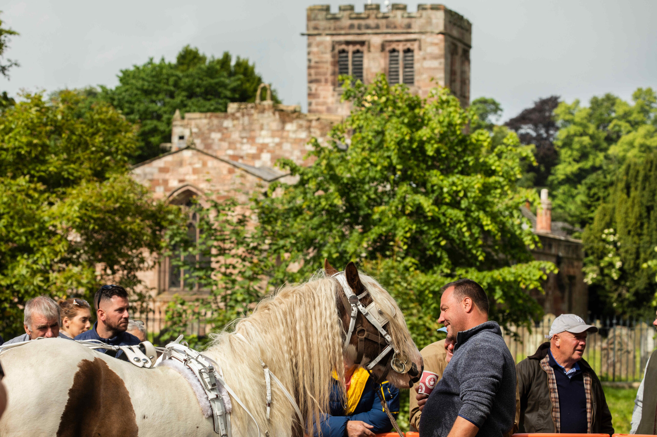
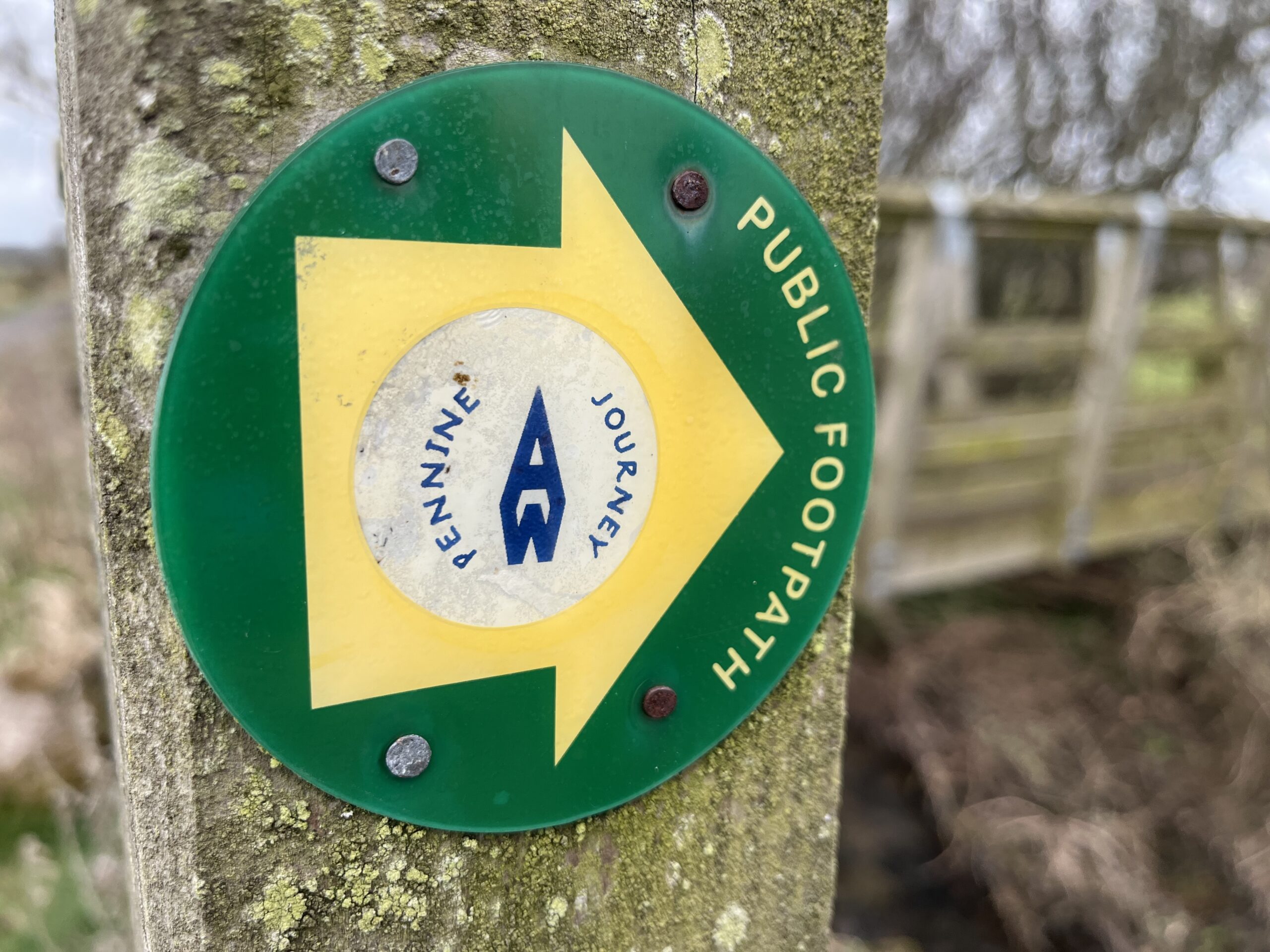
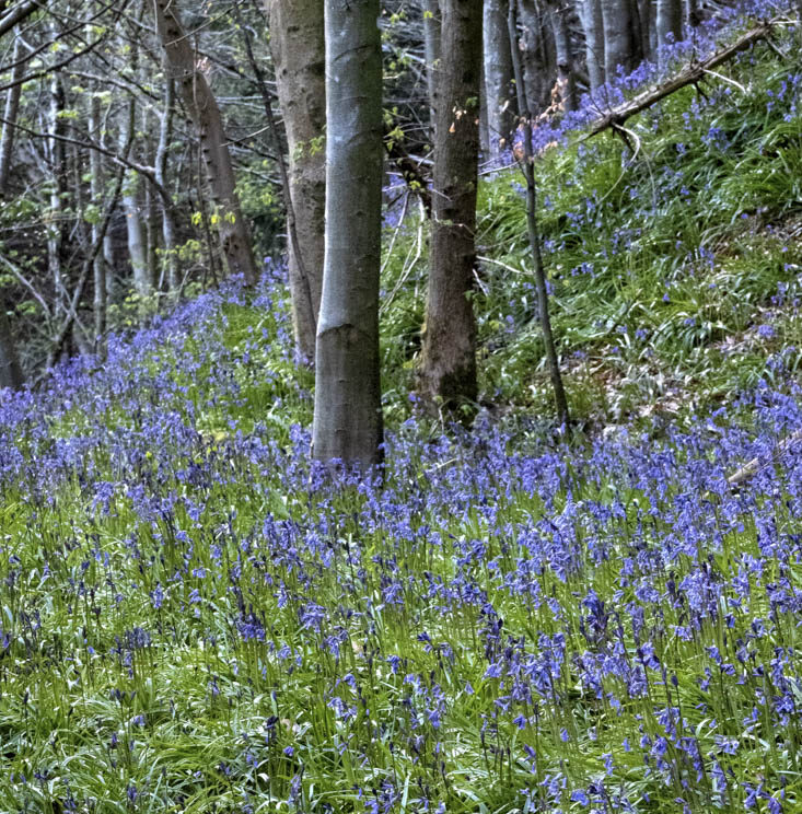
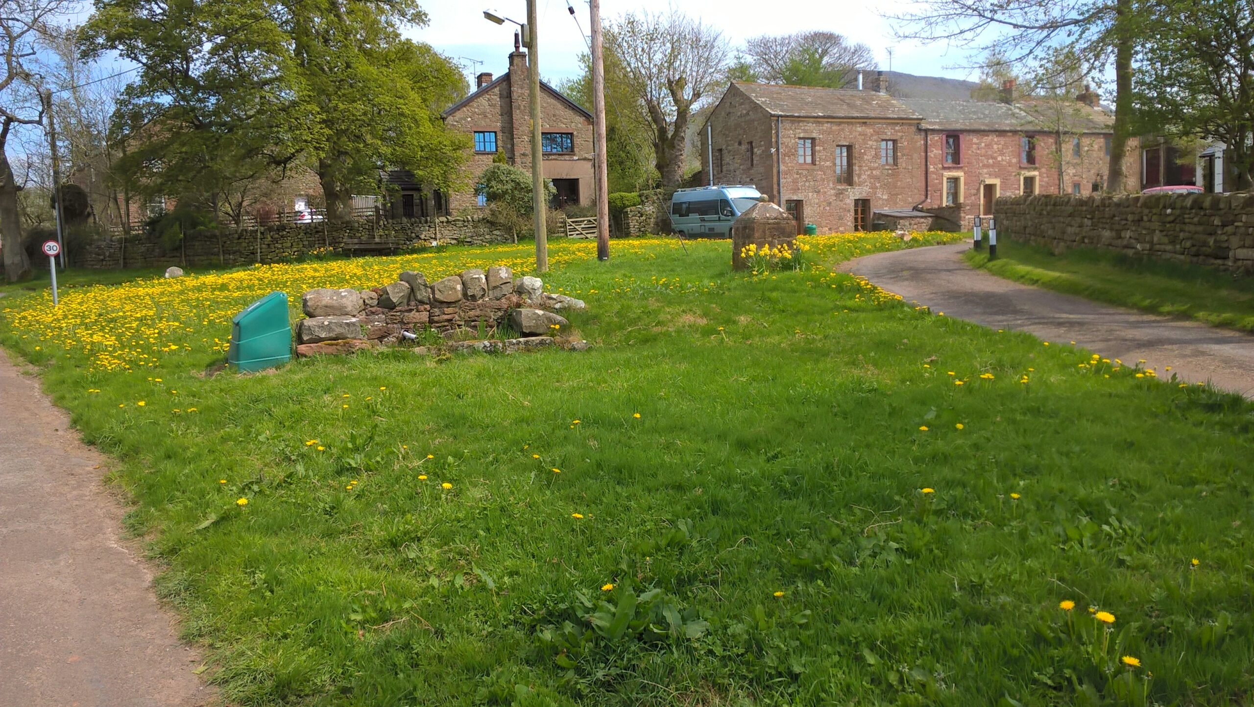
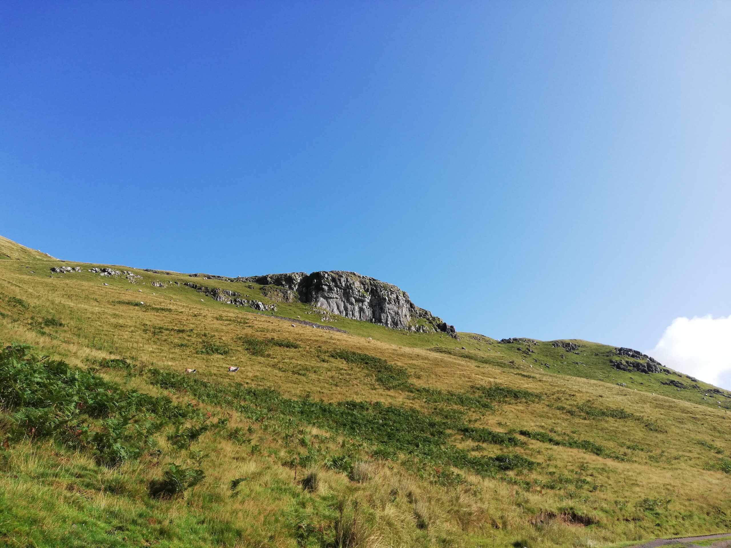
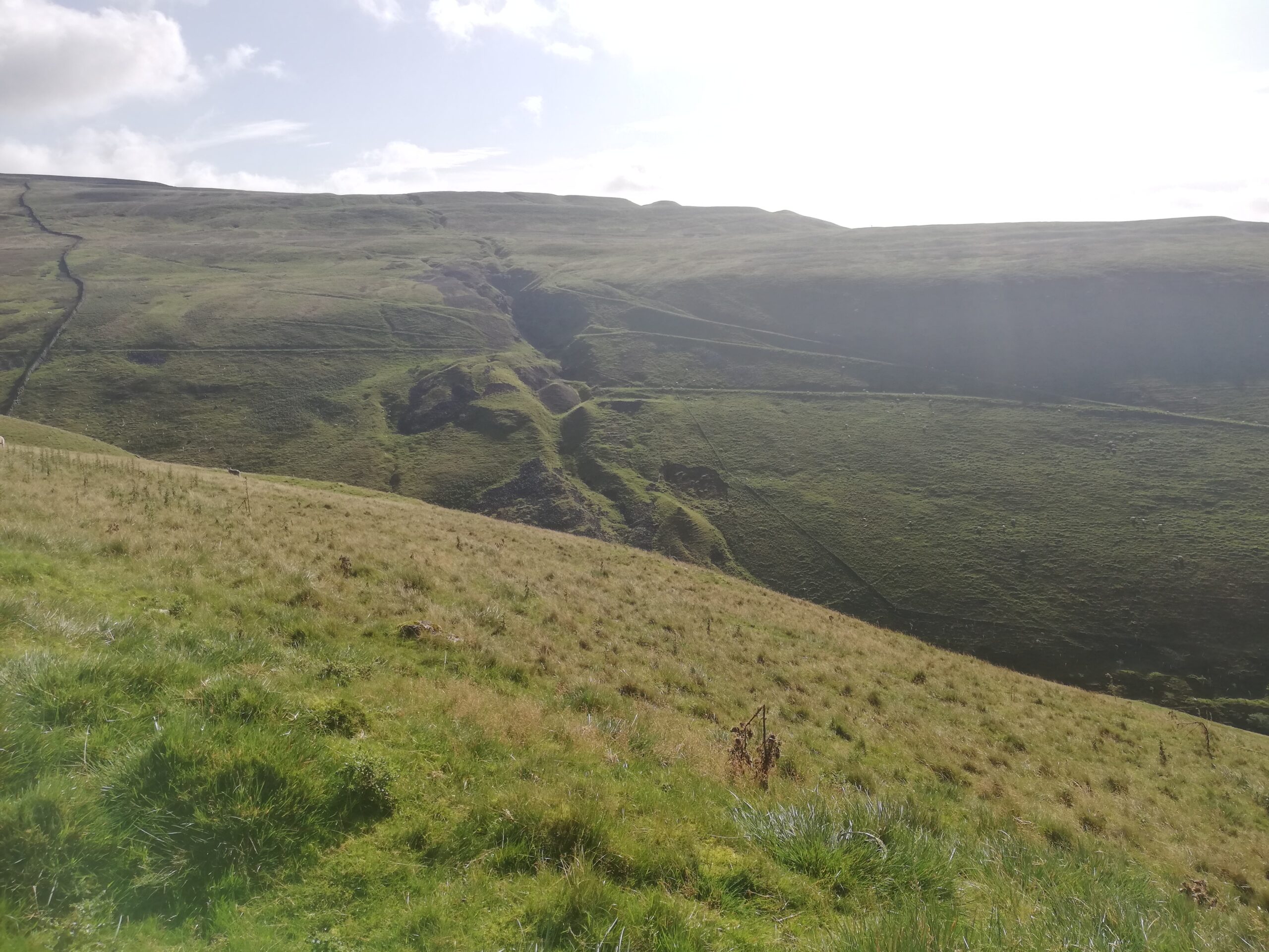
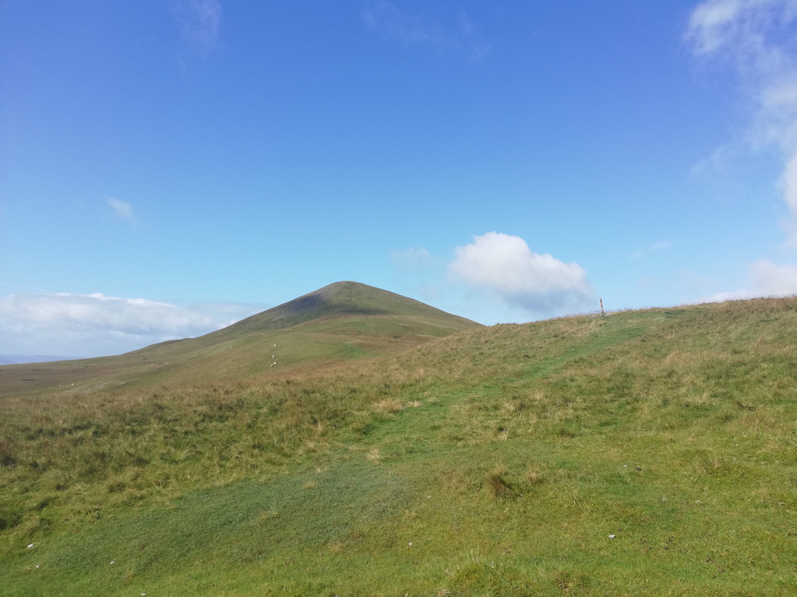
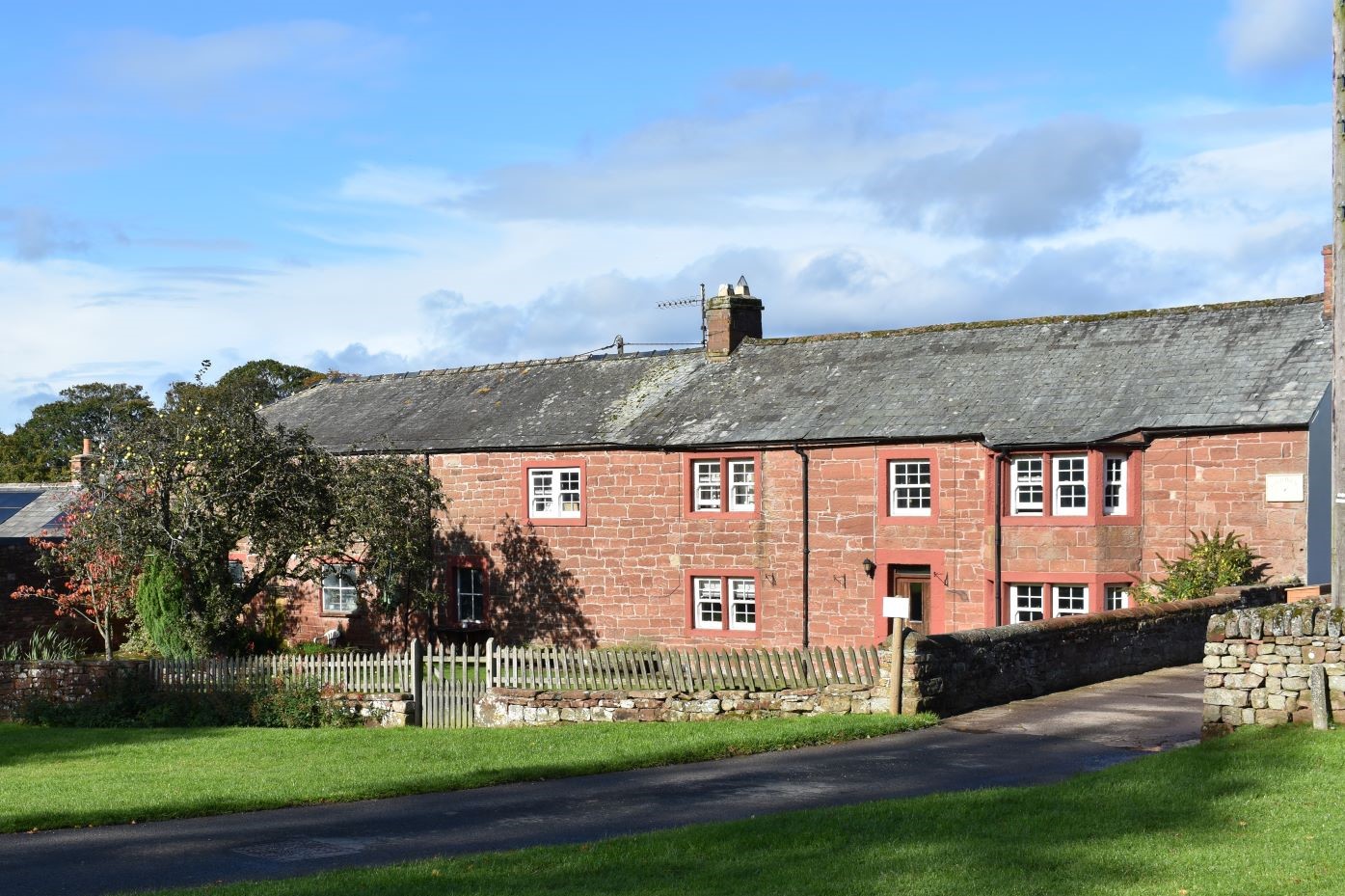
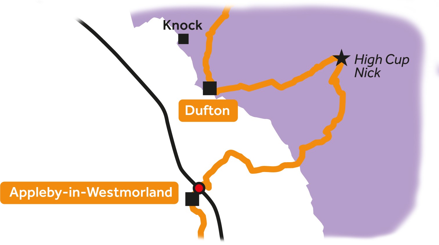
Leg 1Appleby-in-Westmorland to Dufton

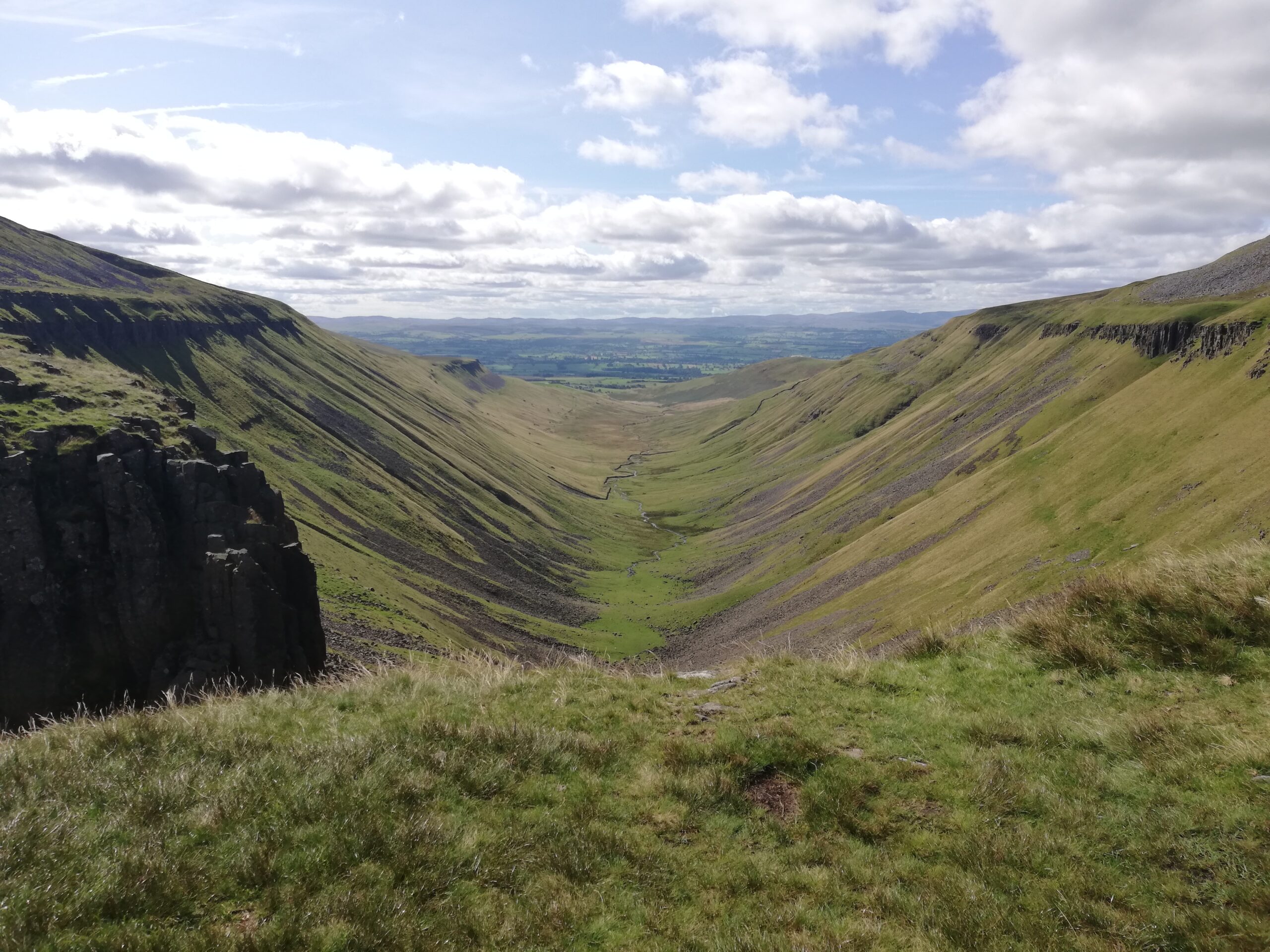
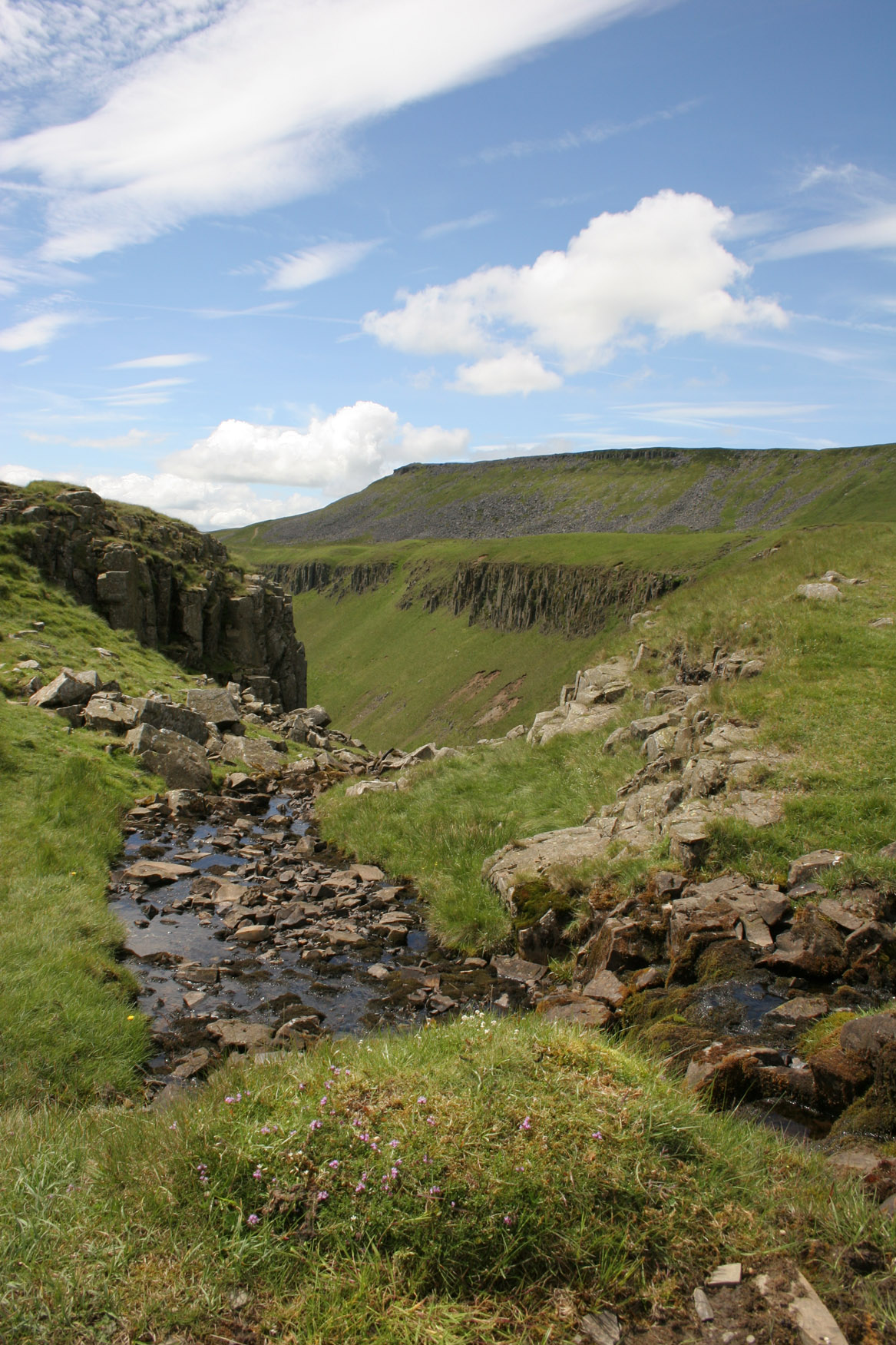
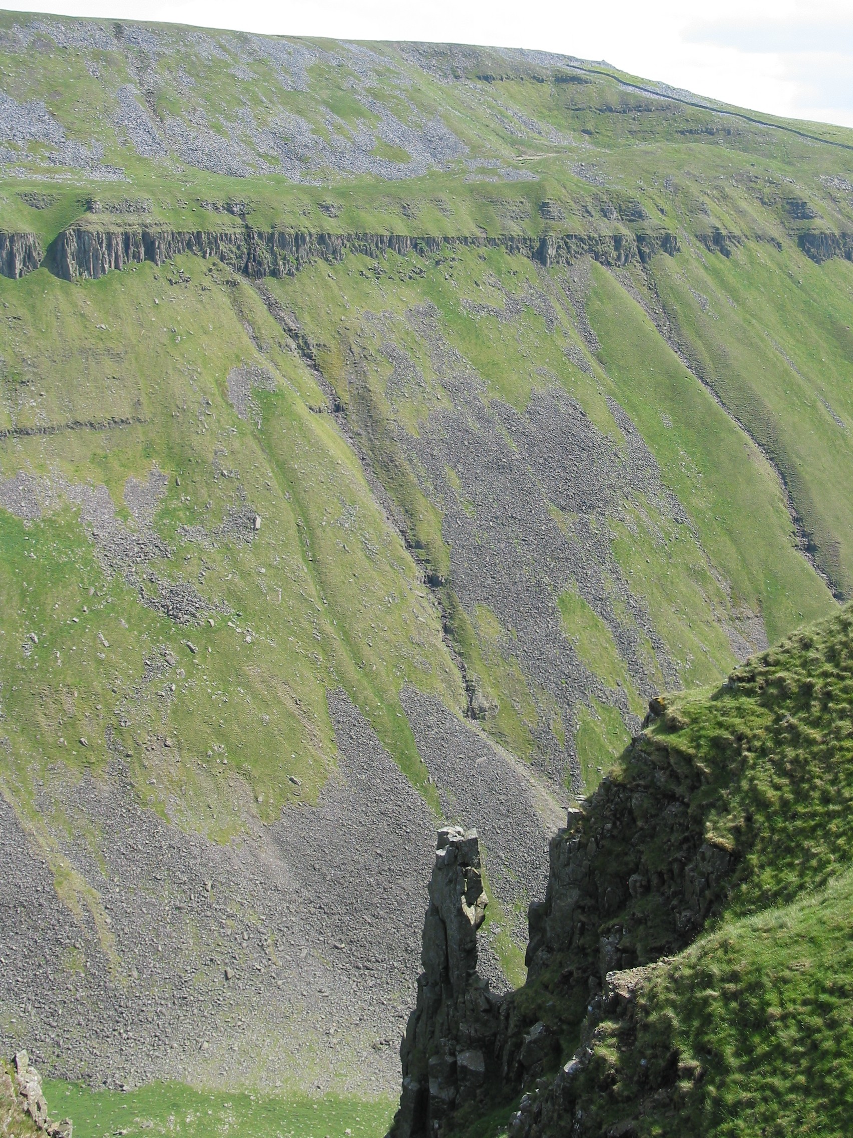
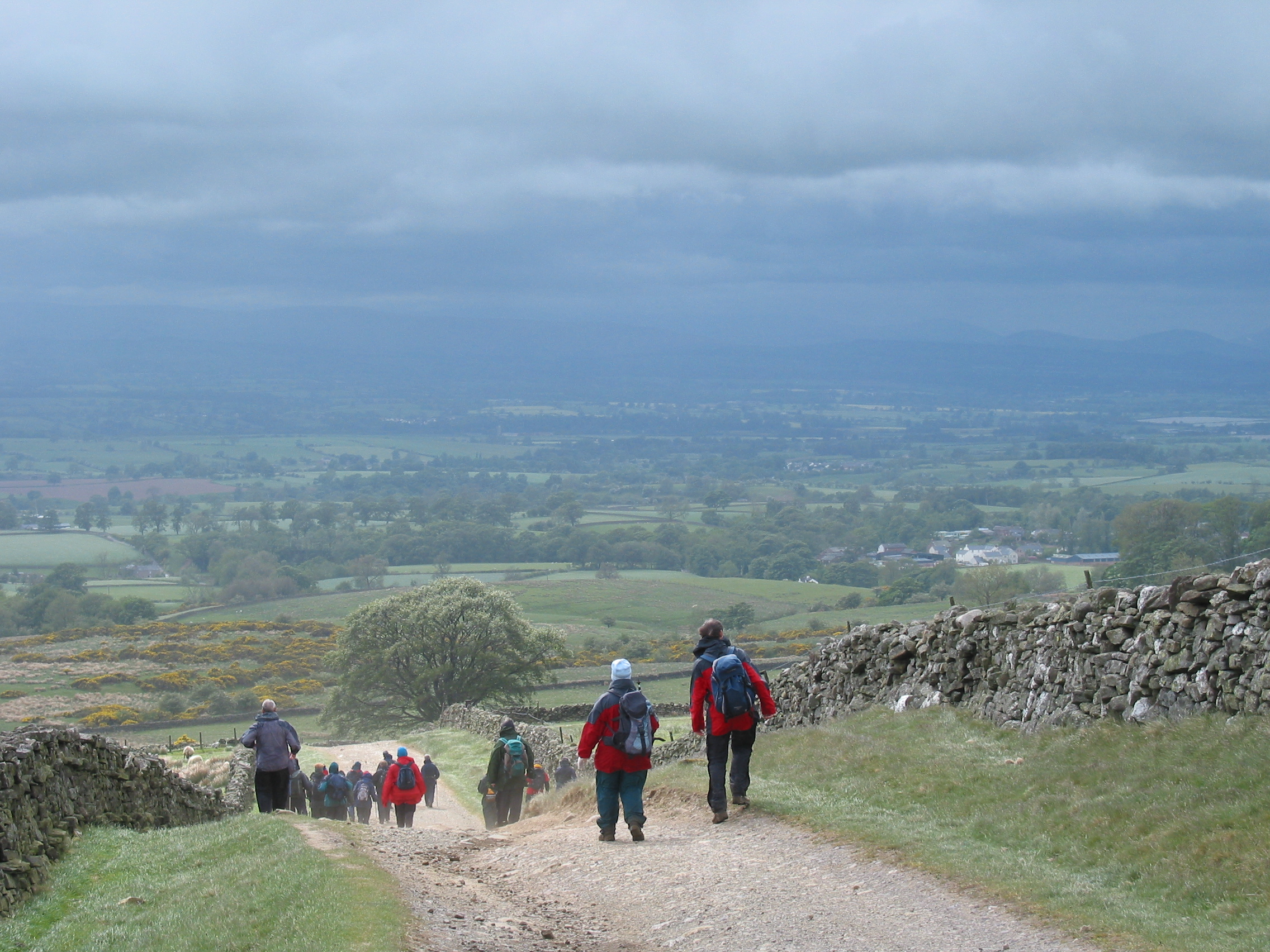
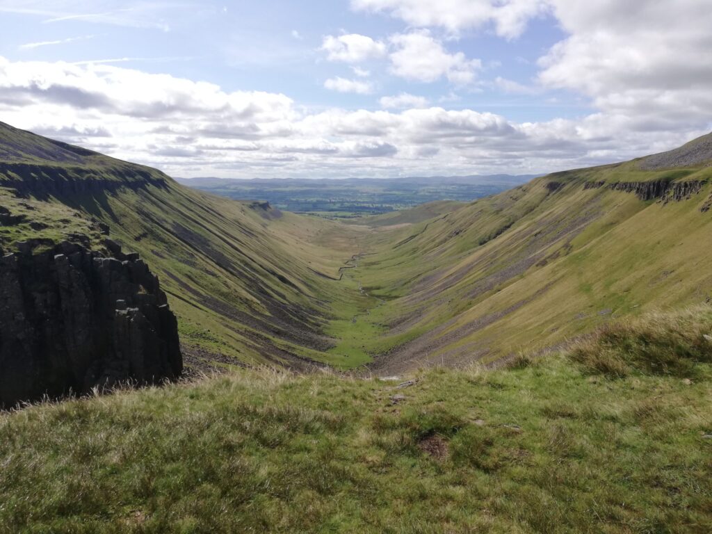
Leg 1 of the multi-day Roof of England Walk – a journey around the North Pennines. A climb up the North Pennines escarpment to the spectacular High Cup Nick, and the expansive U-shaped valley – High Cup Gill. Linear route – 19.2km.

This is a spectacular first day on the Roof of England Walk. Initially, you will be following Wainwright’s Pennine Journey route – just until you reach Flakebridge Wood (3.4km from the start).

Murton Pike

After the fellfoot village of Murton, a gradual climb up the Pennine escarpment to the trig point at the top of Murton Pike – with 360-degree views of the Eden Valley and the Lake District hills beyond, as well as the high fells of the North Pennines.

High Cup Nick

After Murton Pike a more gradual climb will see you walking along the dramatic High Cup Gill to the famous High Cup Nick. On a clear day the views on the second half of this walk are truly amazing. A long descent will see you back down in the Eden Valley at the characterful village of Dufton.

Roof of England Walk

Leg 1 of the Roof of England Walk begins outside the historic Moot Hall in Appleby-in-Westmorland (NY 68371 20311 and ///grand.spurted.district) and finishes in Dufton (NY 69073 25030 and ///circle.reference.includes). After High Cup Nick the Roof of England Walk follows the route of the Pennine Way National Trail. To follow this leg and the Roof of England Walk you will need to be able to map read/use a compass.

Turn-by-turn directions for this leg (including maps) are available as a pdf download. You can also download a GPX file to use on your own device (phone, watch or handheld).

Terrain

A challenging day over a varied of surfaces – stone tracks, boggy paths, rocky paths and a short section of tarmac at the end. Starts at 131m with a high point of 650m. Over the day there is 656m of climb. The route climbs to the Pennine escarpment and on a poor visibility day the ability to navigate using map and compass is required. Please make sure you take a paper map with you (at least as a backup). Leg 1 is covered by the following OS Maps: Explorer – OL19 (N); and Landranger – 91.

Responsible visiting

Please make sure you follow the Countryside Code (Respect, Protect, Enjoy – www.countryside-code.org.uk) and behave responsibly whist enjoying the Roof of England Walk.

Points of interest

1

Start

Start of Roof of England Walk Leg 1 - Appleby-in-Westmorland to Dufton.

2

Moot Hall, Appleby-in-Westmorland

The Moot Hall in Appleby dates to 1596 and was built as a council chamber – a function it still fulfils today. It also serves as a Tourism Information Centre for the town.

3

Appleby Horse Fair

The Appleby Horse Fair is an annual event in the town. It is a traditional gathering of Romani and Traveller people, and a major event for horse trading and showing. The fair is typically held in early June, from a Thursday to the following Wednesday, with the main days being Friday, Saturday, and Sunday. Accommodation in, and near to Appleby, will be hard to come by during the fair dates.

4

Wainwright's Pennine Journey

The first 3.4km of the route follows Wainwright’s Pennine Journey (WPJ). The 200+ mile route is based on Alfred Wainwright’s original journey in September 1938 and over half is within the North Pennines National Landscape. Starting in Settle in the Yorkshire Dales, it heads up the eastern side of the Pennines to Hadrian’s Way, then south through the western Pennines back to the dales.

5

Flakebridge Wood

In the spring Flakebridge Wood has some of the best bluebell displays in Cumbria.

6

Murton

The village of Murton nestles at the foot of the North Pennines escarpment. The distinctive red sandstone, characteristic of the Eden Valley, is much in evidence as a building stone. These rocks formed from sand deposited in dunes and rivers when this area was a desert plain about 250 million years ago.

7

Murton Crag

Murton Crag is a prominent scar on the southern slope of Murton Pike. This feature is a layer of hard limestone – itself part of the sequence of limestone, sandstone and shale layers which makes up much of the North Pennines. These rocks formed from limy ooze, sand and mud in the tropical seas and deltas that covered this area 330 million years ago.

8

The White Mines in Gasdale

The valley below you is Gasdale, along which Murton Beck flows. In the 1800s and 1900s Gasdale would have been noisy and industrial. At the White Mines, which you can see from here, miners worked mineral veins for lead ore and later for baryte. The veins formed some 290 millions years ago, when fluids from deep in the Earth deposited minerals in fissures in the rocks.

9

Murton Pike

Murton Pike is a conical hill made up of some of the oldest rocks in the area. Nearly 500 million years ago, mud, silt and volcanic ash were deposited on the edge of an ocean. When the continents on either side collided and the ocean closed, the mud and ash were crumpled and altered to form slaty rocks. These rocks are exposed in a belt along the escarpment, forming distinctive conical hills.

10

Limestone country

Here the path passes a number of small sinkholes, also known in the North Pennines as ‘shake holes’. Limestone dissolves gradually in rainwater. Cracks channel the rainwater into the rock, and slowly widen into a cave system. The overlying soil and rock debris fall in, forming a depression on the surface. You can see many of these shake holes throughout today’s walk.

11

Peat restoration

Just above the route to your right is an area of peatland which is being restored by the North Pennines National Landscape team. Peat began to form as the climate became wetter around 7,500 years ago. The work here slows down water flow and reduces erosion, allowing bare peat to then be revegetated. Peat habitats are also very important for wildlife and for water supply.

12

High Cup Gill

Walking along the edge of the valley, heading towards High Cup Nick, you can really appreciate the sheer size of the glacial gill and imagine the size of the ice sheet that once filled it. The sides of the valley were widened and smoothed out as the glacier, encasing tonnes of boulders, gravel and sand, moved across the land.

13

High Cup Nick

The cliffs of the Whin Sill at High Cup Nick are formed from the dark, hard rock dolerite. The ‘Nick’ itself is technically the gap in the whinstone at the head of the valley – where the beck flows from the boggy High Cup Plain above. During the last glacial period, around 20,000 years ago, the North Pennines lay under a huge ice sheet. Ice and meltwaters sculpted this classic U-shaped valley.

14

Nichol's Chair

The isolated Whin Sill column is called Nichol’s Chair. It is said to have been named after a Dufton Cobbler, Mr Nichol, who not only climbed to its top, but reputedly soled and heeled a pair of boots while sitting there.

15

Hannah's Well

The narrow waterfall that drops over the sheer Whin Sill cliffs on your left is known as Hannah’s Well.

16

The Eden Valley

As you descend towards Dufton – enjoy the view as it opens out in front of you. On a clear day you will be able to make out the Lake District fells in the distance. The red sandstone rocks that dominate the Eden Valley between you and those distant fells can be seen in the fellfoot villages – including Dufton and Murton.

17

Dufton

As you walk into the village of Dufton notice the striking red buildings. They are made of a local red sandstone known as the St Bees Sandstone. The name comes from the village of St Bees on the Cumbrian coast. The stone dates from the Triassic Period, around 250 million years ago, and formed from sand deposited in rivers flowing over desert plains.

18

Finish

Finish of Roof of England Walk Leg 1 - Appleby-in-Westmorland to Dufton.

Introduction
01