New multi-day walking route launches in the North Pennines National Landscape
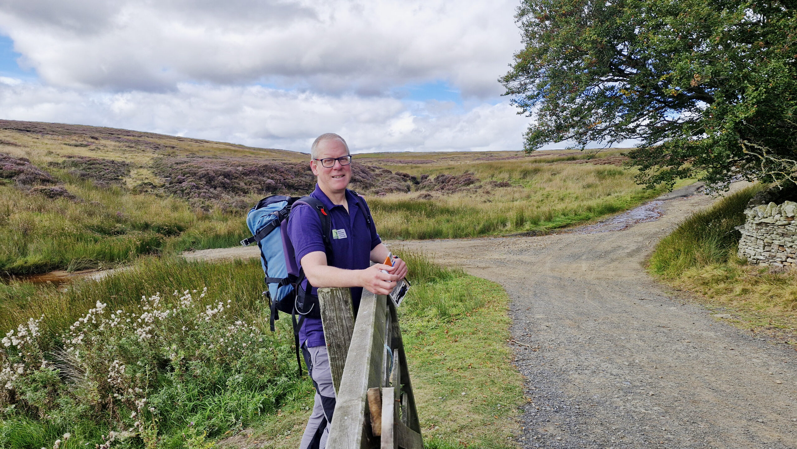
This week marks the launch of the 301km (188-mile) Roof of England Walk – a new multi-day walking trail that explores the North Pennines National Landscape and UNESCO Global Geopark.
The Roof of England Walk is a journey around the North Pennines, with its name reflecting its lofty location in the uplands of Northern England. By following this route, people will feel that they are literally on the Roof of England, walking some of the country’s highest footpaths and enjoying views of open moorlands, big skies, and enticing horizons.
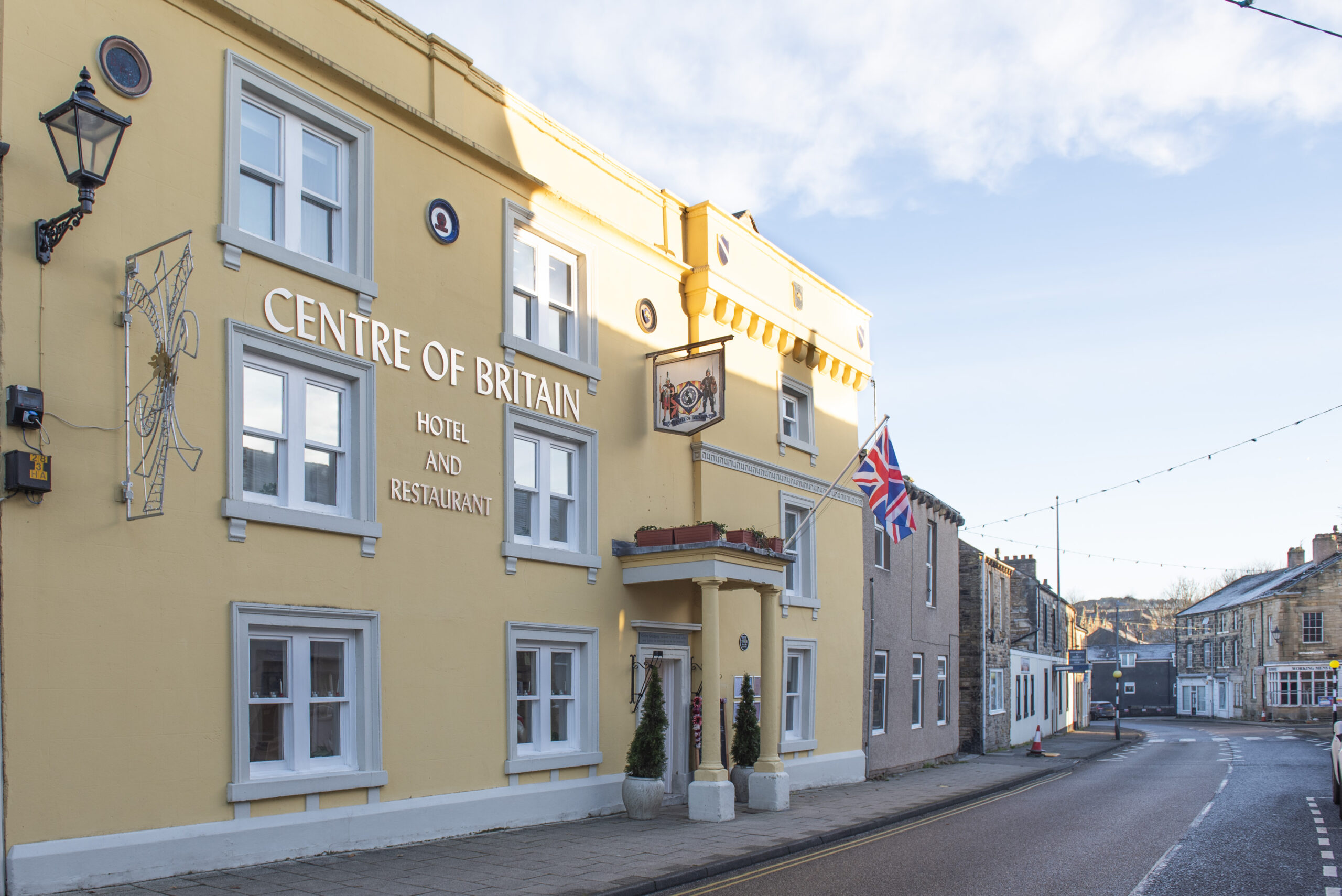
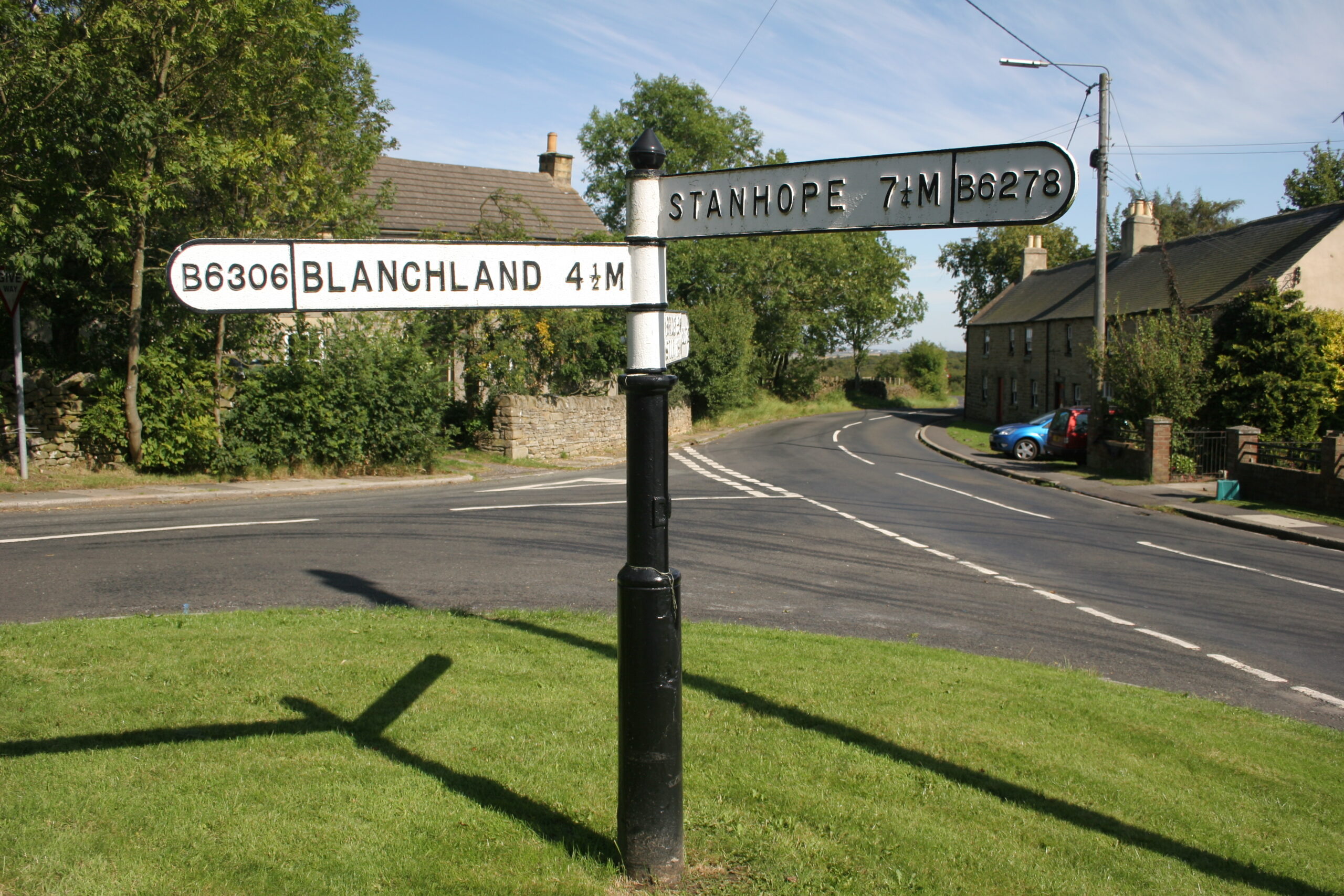
It is a challenging walk crossing a wide variety of terrain, from high moorland paths to peaceful riverside trails. The route makes its way through County Durham, Cumbria and Northumberland, the three counties of the North Pennines National Landscape, as well as a section in the Yorkshire Dales National Park to enable a visit to Nine Standards Rigg.
Among the highlights of the route are the spectacular waterfalls of Teesdale in County Durham: Low Force, High Force and Cauldron Snout. In Northumberland walkers will experience the dramatic river gorge at Allen Banks, pass the lead mining site at Dukesfield Arches and discover the history of Blanchland Abbey. The Cumbrian sections take in the jaw-dropping High Cup Nick and High Cup Gill and reach the highest point of the North Pennines at Cross Fell.
Read the full press release on the North Pennines National Landscape website.